
Branta sandvicensis Volcano Winery Big Island, c. 2002
Volcano’s story
73 years in pictures
The archive holds 25 old photos and papers going back to 2002 and 5 maps from 1922 on.
- 1953Volcano is settled
Each edition grades its towns against each other only.

43% of the land in Volcano is conserved, where Hawaii’s towns sit at 12% and U.S. towns at 4.3%. The biggest park or preserve is Puʻu Makaʻala Natural Area Reserve, at 3,815 acres. Volcano has fewer than 1,000 residents, too few for fair grades; the figures below are still real.
Where Volcano beats most towns.
2,575 counted in 2010 and 736 in 2020.
U.S. Census 2010 & 2020 counts
The archive holds 25 old photos and papers going back to 2002 and 5 maps from 1922 on.
Museums, parks, gardens and other places to visit around Volcano. Close and well known come first.
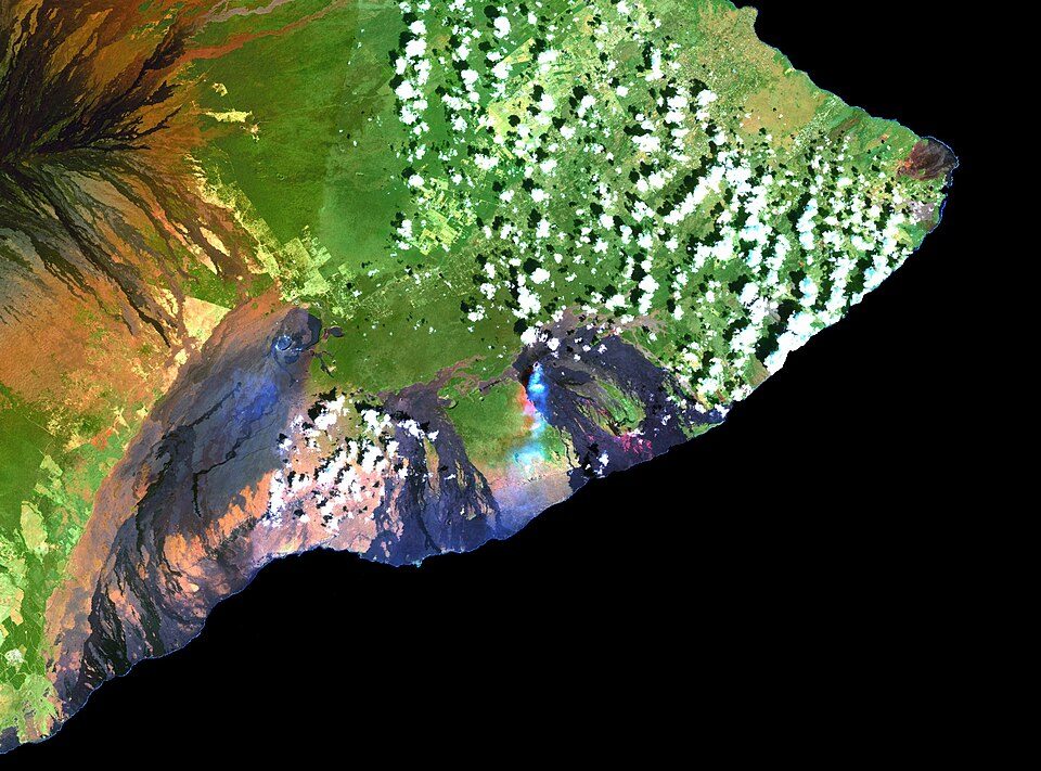 Big draw5 mi MountainKīlauea
 Big draw26 mi MountainMauna Kea
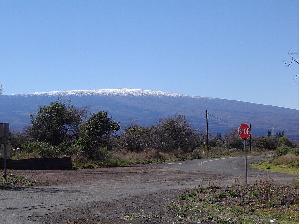 Big draw21 mi MountainMauna Loa
 2 mi National ParkHawai'i Volcanoes National Park1.9M visitors a year
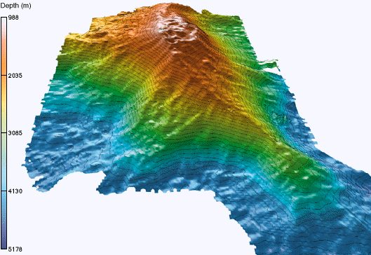 39 mi MountainKama‘ehuakanaloa Seamount
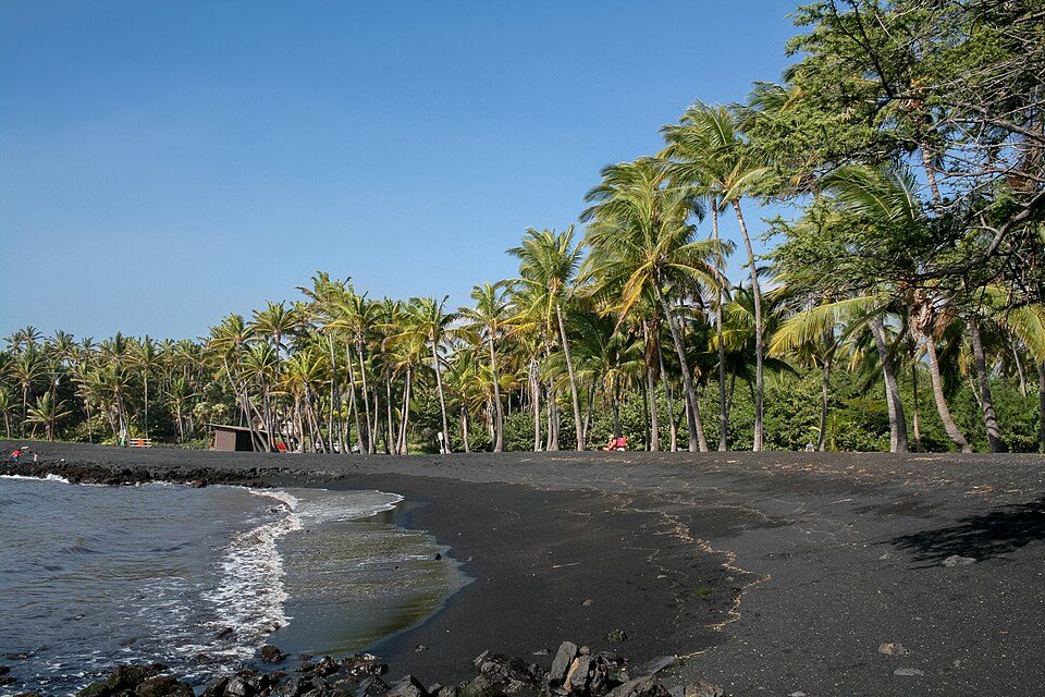 28 mi BeachPunalu'u Beach
Kīlauea: Hawaii Land Cover Analysis project, NOAA Coastal Services Center, Public domain · Mauna Kea: Unknown, CC BY-SA 3.0 · Mauna Loa: Gordon Joly, CC BY-SA 3.0 · Hawai'i Volcanoes National Park: Jos-uit-boston at Dutch Wikipedia, CC BY-SA 3.0 · Kama‘ehuakanaloa Seamount: John Smith and Brooks Bays, Public domain · Punalu'u Beach: Diego Delso, CC BY-SA 3.0
Volcano is unincorporated, so Hawaii County and regional agencies provide most services.
EPA SDWIS (Oct 9, 2026) · HIFLD + EIA-861 2025 · Census 2020 ZCTAs · NCES 2024–25 · registration: vote.gov, updated Nov 18, 2024.
Ordered by what stands out in Volcano.
The natural-hazard score from FEMA for Volcano comes to 100 of 100, above both Hawaii’s towns (93 of 100) and U.S. towns (44 of 100). 48% of the town’s expected losses from natural hazards come from inland flooding, followed by earthquakes at 40%. Federal aid has come to Volcano households in 3 declared disasters; the latest was in 2026.
FEMA disaster declarations and aid · FEMA National Risk Index · OpenFEMA
The largest public high school is Volcano School of Arts & Sciences - A Community PCS, with 325 students. The Hawaii Department of Education school district runs its public schools. Its one school is below.
| School | Level | Students | Letter |
|---|---|---|---|
| Volcano School of Arts & Sciences - A Community PCSLargest public high schoolGrades PK–12 | Grades PK–12 | 325 | C |
NCES · EDFacts
Trails total 5.0 miles in 6 parks and preserves. In Volcano, the trail network density is 0.2 miles per square mile.
| Biggest places to walk | Trails | Acres |
|---|---|---|
| 1. Puʻu Makaʻala Natural Area Reserve | — | 3,815 |
| 2. Hawaiʻi Volcanoes National Park | — | 1,322 |
| 3. ʻOlaʻa Wilderness | — | 894 |
Trails & parks © OpenStreetMap contributors · Conserved land: USGS PAD-US
Homes in Volcano are typically worth about $386,000, up 1.5% in a year, 54% below the Hawaii typical home.
Census ACS, 2020–24 · Zillow Home Value Index · Redfin Data Center
Winters in Volcano are warm and summers cool, with plenty of rain. July afternoons reach 73°, January nights drop to 49° and snow is almost unheard of.
NOAA U.S. Climate Normals, 1991–2020
Only 4 of the 94 Hawaii towns we compare have a higher share of adults who had a checkup this year than Volcano. CDC measures, 32 in all: Volcano beats Hawaii on 6 and trails on 17. Volcano: 18% of adults report frequent physical distress.
| Volcano | Hawaii towns | U.S. towns | |
|---|---|---|---|
| Frequent physical distress (CDC PLACES) | 18% | 13% | 14% |
| Diabetes (CDC PLACES) | 16% | 12% | 12% |
| Feel lonely (CDC PLACES) | 28% | 32% | 33% |
| High blood pressure (CDC PLACES) | 39% | 31% | 35% |
| What stands out | Volcano | HI |
|---|---|---|
| Fewer adults sleeping under 7 hours | 36.6% | 45.7% |
| Fewer binge drinkers | 14.7% | 17.4% |
| More adults with COPD | 10.5% | 5.3% |
CDC PLACES 2025 · modeled estimates for adults · CMS · HRSA
None within 15 miles of Volcano; the nearest are
About 10 of every 100 Volcano residents are enrolled in college, against 6 across Hawaii.
In a town this size, neighbors are the best guide. Ask them anything.
Census-designated place in Hawaii, U.S.
Volcano, or Volcano Village, is a census-designated place (CDP) in Hawaii County, Hawaii, United States located in the District of Puna with a small portion of the CDP in the District of Kaʻū. As of the 2020 census, Volcano had a population of 736.
From Wikipedia, licensed CC BY-SA 4.0 · facts via Wikidata (CC0)
Short answers, built from the data on this page.
Volcano has fewer than 1,000 residents, too few for fair grades; the figures below are still real.


