Strong in places, weak in others. The weak point is cost of living (C−) — the typical home is worth about $525K, 6.7 years of the Palm Bay metro’s $78K median household income. It also trails on hazard risk: FEMA rates its natural-hazard risk higher than 88% of U.S. communities, with hurricanes at the top. Its strongest is health (A−): CDC estimates put its residents' health ahead of 77% of the country. Schools are another plus: its public schools beat 74% of Florida towns on state tests and graduation. Put together, the subjects come to a C+ overall, ranking 249th of 634 in Florida. Nationally, it does better than just over two fifths of U.S. towns. Just over a tenth of the land in North Merritt Island is conserved, above both Florida’s towns (3%) and U.S. towns (4.3%).
Figures: health, CDC PLACES · schools, state test and graduation results · home values, Zillow · incomes, Census ACS, 2020–24 · FEMA National Risk Index · USGS PAD-US.
Ordered by what stands out in North Merritt Island.
North Merritt Island has milder winter nights than nearly all U.S. towns and has less no health insurance than most of Florida, but it has homes that cost more against local pay than most of Florida.
Across 6 parks and preserves: 18 miles of trail. Pine Island Conservation Area, at 984 acres with 6.3 miles of trail, is the biggest park or preserve. The concentration of trails for North Merritt Island comes to 0.6 miles per square mile.
69% of North Merritt Island’s expected losses from natural hazards come from hurricanes, followed by inland flooding at 14%. The town has had 46 paid flood insurance claims since 2008.
Its widest gap with Florida is no health insurance: 8.4% of those 18–64 have no health insurance, against 15.9% statewide.
For adults in North Merritt Island, the share who have been diagnosed with depression is 18%. Against the Florida average, North Merritt Island comes out ahead on 12 CDC measures out of 31, and behind on 2. In North Merritt Island, 15% of adults report frequent mental distress, and 21% get no exercise outside work.
For half of commuters, work is under 15 miles away. Since 2013, North Merritt Island has lost 608 jobs, to 1,192 in 2023. Most working residents leave North Merritt Island for work: only 4% work in town. Also worth knowing: the typical household income here is $105,000.
North Merritt Island
Florida towns
U.S. towns
Median household income
$105,000
$73,000
$80,000
Work from home
18%
14%
11%
Below the poverty line
6.9%
11%
9.6%
Average trip to work
29 minutes
27 minutes
25 minutes
Where working residents work
In North Merritt Island4%
Merritt Island7%
Palm Bay7%
Melbourne7%
Cape Canaveral4%
15 mi
median commute distance
1,192
jobs based in North Merritt Island
A commuter town
jobs vs. working residents
C
Walkability grade: more walkable than 27% of U.S. towns
In North Merritt Island, 38% of adults 25 and older hold a bachelor’s degree or more. People 65 and older are 28% of residents (21% statewide); adults 18 to 34 are 14% of residents (21% statewide). The town’s age of the median resident is 52.6 years.
North Merritt Island
Florida towns
U.S. towns
Median age
52.6 years
42.4 years
40.5 years
Aged 65 or older
28%
20%
18%
Under 18
17%
20%
22%
Bachelor’s degree or more, 25+
38%
31%
29%
North Merritt IslandFloridaUnited States
Ages · share of residents
19%
<1010–1718–2425–3435–4445–5455–6465–7475+
Education · adults 25 and older
No diploma3%
High school23%
Some college24%
Associate’s13%
Bachelor’s23%
Graduate15%
Women and men · all residents
51% women, 49% men
WomenFLU.S.Men
That’s an even split within the survey’s margin of ±6 points. Across Florida, 50.9% of residents are women.
At 6.7 years of the Palm Bay metro’s $78K median household income, the typical home costs more against local pay than in 80% of Florida towns; that ratio is one input to its C− for cost of living.
Among households in North Merritt Island, 87% are owner-occupiers. Its typical rent comes in at $1,274 a month. Homes sold in North Merritt Island spent a median 46 days on the market.
North Merritt Island is a census-designated place (CDP) in Brevard County, Florida, United States. It occupies a portion of the physical Merritt Island, north of the CDP of Merritt Island and south of Merritt Island National Wildlife Refuge. Florida State Road 3 is the main highway through the community, leading north to Florida State Road 405 and south to Florida State Road 528. Situated on an Atlantic coast peninsula, North Merritt Island is a portion of the larger Merritt Island area in Brevard County, Florida. The area is close to the Cape Canaveral Space Force Station and the Kennedy Space Center. North Merritt Island was first listed as a CDP prior to the 2020 census. The population w…
North Merritt Island grades C+ overall, better than 41% of U.S. towns and #249 of 634 in Florida. It grades A− for health and B+ for schools. Hazard risk is its weak spot, with a D.
Is North Merritt Island, FL expensive?
Yes. The typical home is worth about $525,000, 40% above the Florida typical home. Cost of living, which also weighs rents, property taxes and how many households pay 30% or more of their income for housing, grades C−.
North Merritt Island is in here
Say something about North Merritt Island.
Ask a question, answer one, post a photo or an event. Free, and the parts only a neighbor would know are the parts worth reading.


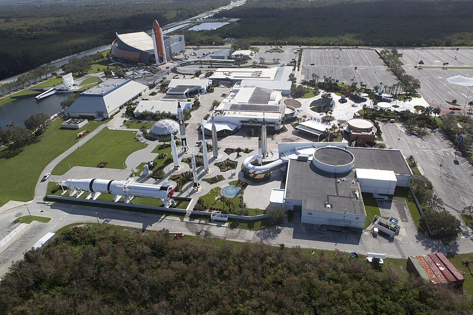 5 mi
 10 mi
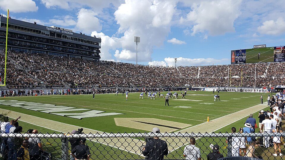 31 mi
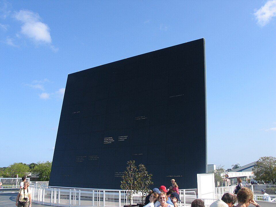 5 mi
 5 mi
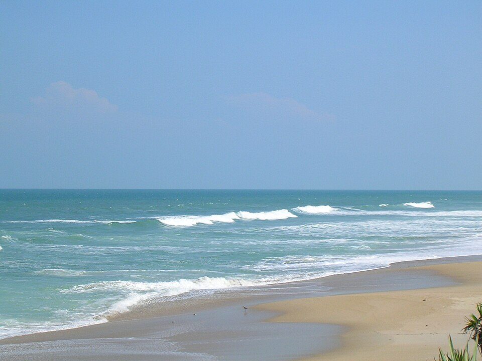 14 mi


