Fort Lauderdale’s post office opened in 1891, and 17 of its places are on the National Register
More historic than 39% of U.S. towns · #115 of 638 in Florida. What drives it
Most of Fort Lauderdale was built recently: 2% of its homes predate 1940 and the median home dates from 1973. 17 places in town are on the National Register, among them the U.S. Car. No. 1, a National Historic Landmark. Below: 16 old photos and papers, maps from 1912 on, and the census since 1920.
From Fort Lauderdale’s archive · credits on each photo
Quick answers
How Fort Lauderdale began
When was Fort Lauderdale founded?
1891
The Fort Lauderdale post office opened in 1891, the earliest record of the town by name. Wikidata gives 1911. Another post office, Floranada (1926), opened inside today’s city and later closed.
First census: 2,065 in 19202020 census: 182,760135 years
How historic is Fort Lauderdale?
C+
More historic than 39% of U.S. towns, on its age, its old homes and the National Register.
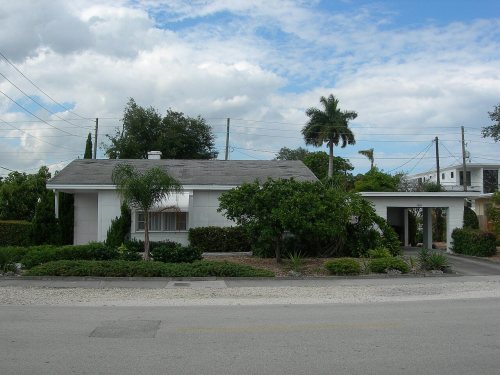
Founding year: the first Fort Lauderdale post office (Blevins & Helbock, CC0). Wikidata: 1911.The full story ↓
History grade
What drives Fort Lauderdale’s History grade
On its age, its old homes and the National Register, Fort Lauderdale is more historic than 39% of U.S. towns, #115 of 638 in Florida. Its National Register listings hold the grade up; its share of homes from before 1940 pulls it down.
C+
HistoryA character grade: shown, never part of Fort Lauderdale’s overall grade.
Among the 400 U.S. cities of 100,000 or more, Fort Lauderdale ranks #273 on History.
Few Florida towns list much on the Register (a typical Florida town has 0.0 per 10,000 residents, the U.S. 2.4), so Fort Lauderdale’s 1.0 sits above most of its state (72% of Florida towns have fewer) while its 19 historic buildings outnumber those of 79% of U.S. towns.
Newer cities are common at Fort Lauderdale’s size: in the typical U.S. city of 100,000 or more, 5% of homes predate 1940.
How sure. Graded on any two of the three inputs instead, the letter would range from C− to B. The pre-1940 share (±0.3 points) is firm at this size. The founding year is the first post office, not a stated founding date; Wikidata gives 1911.
Founding year: the first post office (other dates in Quick answers). Homes: Census ACS 2020–24. National Register: National Park Service, May 2026 list; each listing counted once (boundary changes and added documentation belong to their listing), and a historic district counts its contributing buildings. How TownRatings grades history →
What stands out about Fort Lauderdale’s past
Read from the archive, the National Register and the record. The page puts what stands out first.
National Park Service, National Register of Historic Places. Photos from Wikimedia Commons, credited on each place’s page.
Places that used to be
Lost post offices, old corners and burying grounds
Fort Lauderdale’s post office has been open since 1891. Two other post offices opened and closed inside today’s town.
Fort Lauderdale
1891–today
Floranada
1926–1929
Gateway
1951–1952
18901960today
Hamlets and corners on the map
Azalea Trailer Colony Mobile Home ParkBay HarborBirch Ocean FrontChula Vista IslesCoral HillsCoral RidgeCoral Ridge IslesCypress Creek Mobile Home Country ClubFlamingo VillageFloridale Mobile Home ColonyHarbor BeachHarbor HeightsHolland Mobile Home ParkImperial PointLauder Lakes Mobile HomesLauderdale HarborsMelrose ParkMiddle River VistaNorth Bal HarborNurmi IslesPalm AirePan American Estates Mobile Home ParkPort EvergladesRio Vista Isles
3cemeteries and burying grounds inside Fort Lauderdale
EvergreenLauderdale Memorial ParkSunset Memorial Gardens
US Post Offices dataset (Blevins & Helbock, CC0). Places and cemeteries from the USGS Geographic Names Information System (2021).
By decade
Fort Lauderdale, decade by decade
5 decades in the archive, from the 1930s to the 1970s. Scroll each row; tap a photo for its story.
Nothing in the archives for these yearsWeddings on Main Street, storms, parades, school pictures, the old store. If it’s in your family album, it belongs here.
The area of present-day Fort Lauderdale was inhabited for at least 2,000 years by Indigenous peoples associated with the Tequesta culture. Contact with Spanish explorers in the 16th century contributed to the decline of Native populations in South Florida through the introduction of Eurasian diseases, including smallpox, to which Indigenous communities had little immunity. Disease, warfare, and regional displacement contributed to the decline of the Tequesta and neighboring peoples over the following two centuries. The area was then incorporated within the Spanish Empire during the 16th century.
Every edition of the U.S. Geological Survey’s map of Fort Lauderdale. Tap a year, or press play to watch the town change.
1949Fort Lauderdale South sheet · 1:24,000
U.S. Geological Survey historical topographic maps (public domain), via Esri’s collection of the scans. The red ring marks the center of Fort Lauderdale.
Every building
Fort Lauderdale, building by building, 1912–1924
Fire insurance maps drew every building, what it was made of and what it was used for, so insurers could price the risk of fire. Pick a year, then a sheet.
The Fort Lauderdale post office opened in 1891, the earliest record of the town by name (U.S. post office records). Wikidata gives 1911.
How does Fort Lauderdale rank for history?
Fort Lauderdale is more historic than 39% of U.S. towns, #115 of 638 in Florida. The History grade combines the town’s founding era, the share of homes built before 1940 and its National Register listings. It’s a character grade, so it isn’t part of the overall grade. How it works.
What is on the National Register in Fort Lauderdale?
17 listings: 14 buildings, among them the New River Inn (listed 1972, the first), 2 sites, and 1 object. 19 historic buildings in all.
How old are the homes in Fort Lauderdale?
2% of Fort Lauderdale’s homes were built before 1940 (Census estimate), against a typical 0.6% for a Florida town; the median home was built in 1973.
Founding dates: Wikidata, Wikipedia, the U.S. post office records of Blevins & Helbock (CC0) and the Census. Homes by year built: Census ACS 2020–24. National Register of Historic Places: National Park Service (list of May 22, 2026). Old photos, postcards and papers: Wikimedia Commons, the Library of Congress and other public archives, credited on each item’s page. Maps: U.S. Geological Survey historical topographic maps (via Esri) and Sanborn fire-insurance maps (Library of Congress). History text and census tables: Wikipedia (CC BY-SA 4.0). Places that used to be: USGS Geographic Names Information System (2021).
From Wikimedia Commons (16), Wikidata (2), the National Register of Historic Places (17), Wikipedia, U.S. Geological Survey historical maps, U.S. Census counts (via Wikipedia), the US Post Offices dataset (Blevins & Helbock), the USGS Geographic Names Information System and Sanborn fire insurance maps (Library of Congress). Archive images are copied here with their credits and licenses, shown on each photo’s page. Refreshed monthly.
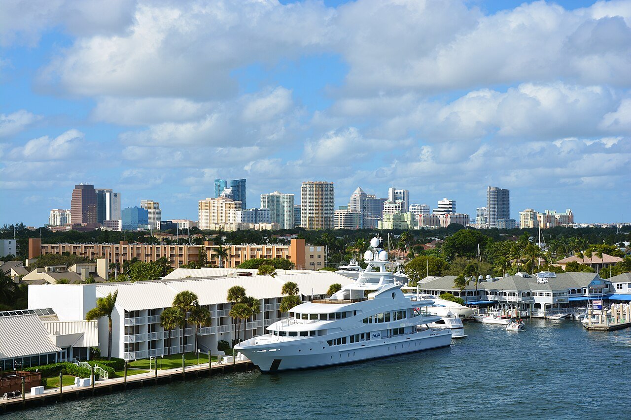


 ★ Landmark


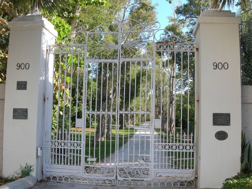


 1930–1945
 1940s
 1940
 1941
 1941
 c. 1944
 1950s
 1950s
 1957
 1960
 1961
 1962
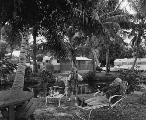 1963
 1967
 1970
 1970