
Quinebaug station postcard, 1936
Quinebaug’s story
Quinebaug in pictures
The archive holds 6 old photos and papers going back to 1936.
Explore the history →Each edition grades its towns against each other only.

A town of 1,193.
We don’t grade Quinebaug yet; the figures below are still real.
In a town this size, neighbors are the best guide. Ask them anything.
The archive holds 6 old photos and papers going back to 1936.
Explore the history →Museums, parks, gardens and other places to visit around Quinebaug. Close and well known come first.
 Big draw5 mi LakeLake Chaubunagungamaug
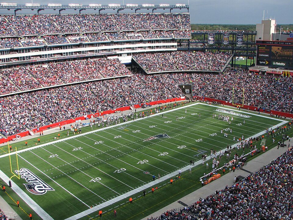 Big draw35 mi Stadium & arenaGillette Stadium
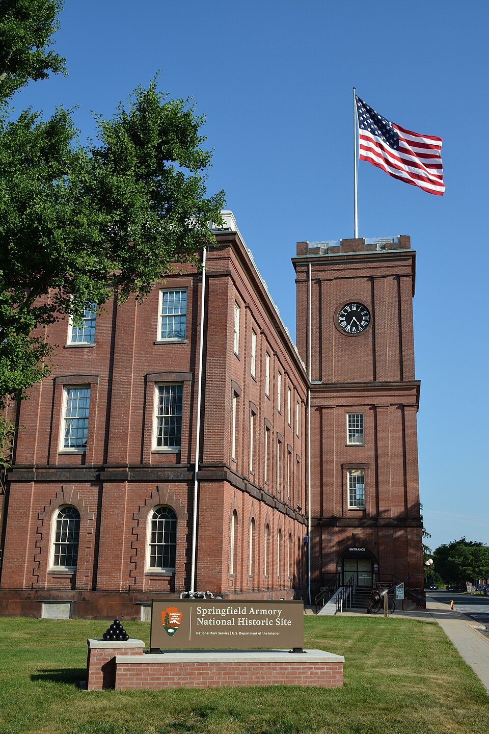 34 mi National Historic SiteSpringfield Armory National Historic Site14K visitors a year
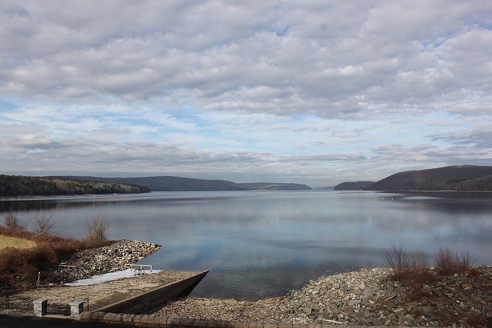 30 mi LakeQuabbin Reservoir
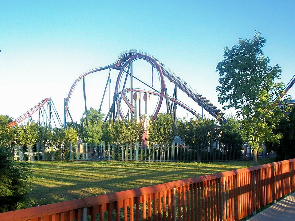 35 mi Theme parkSix Flags New England
 37 mi Stadium & arenaMohegan Sun Arena
Lake Chaubunagungamaug: Bree from Worcester, MA, USA, CC BY-SA 2.0 · Gillette Stadium: Bernard Gagnon, CC BY-SA 3.0 · Springfield Armory National Historic Site: National Park Service, Public domain · Quabbin Reservoir: engineerchange, CC BY 2.0 · Six Flags New England: Canadaolympic989, Public domain · Mohegan Sun Arena: Bbjeter, CC BY-SA 3.0
Quinebaug is unincorporated, so Windham County and regional agencies provide most services.
EPA SDWIS (Oct 9, 2026) · HIFLD + EIA-861 2025 · Census 2020 ZCTAs · NCES 2024–25 · registration: vote.gov, updated Sep 30, 2026.
Ordered by what stands out in Quinebaug.
The median household income for Quinebaug comes to $105,000. Of the 156 Connecticut towns we compare, none has a lower share of working residents who work in town than Quinebaug. Jobs based in Quinebaug grew to 85 in 2023, 51 more than in 2013. Half the trips to work are shorter than 15 miles.
| Quinebaug | Connecticut towns | U.S. towns | |
|---|---|---|---|
| Below the poverty line | 1.3% | 5.8% | 9.6% |
| Working residents who work in town | 0.4% | 11% | 8% |
| Median household income | $105,000 | $109,000 | $80,000 |
Census LEHD 2023 · ACS
Of the losses FEMA expects in Quinebaug, 75% come from inland flooding and 15% from hurricanes. FEMA expects more storm and flood damage locally than in 70% of U.S. communities.
FEMA National Risk Index · OpenFEMA
In Quinebaug, the midsummer high is 82°F, close to Connecticut’s towns (83°F) and below U.S. towns (85°F).
NOAA U.S. Climate Normals, 1991–2020
The share of adults in Quinebaug who sleep under 7 hours is 36%, against 33% in Connecticut’s towns and 36% across U.S. towns. In Quinebaug, just over one in ten adults have diabetes. CDC measures, 32 in all: Quinebaug beats Connecticut on 6 and trails on 9. Also worth knowing: only 8 of the 155 Connecticut towns we compare have a higher share of adults who report frequent physical distress than Quinebaug.
| Quinebaug | Connecticut towns | U.S. towns | |
|---|---|---|---|
| Get no exercise (CDC PLACES) | 29% | 22% | 25% |
| High blood pressure (CDC PLACES) | 39% | 33% | 35% |
| Frequent physical distress (CDC PLACES) | 15% | 12% | 14% |
| Binge drink (CDC PLACES) | 15% | 16% | 16% |
| What stands out | Quinebaug | CT |
|---|---|---|
| Fewer adults facing housing insecurity | 9.6% | 12.5% |
| Fewer adults facing a utility shut-off | 6.5% | 8.4% |
| More adults with COPD | 8.1% | 5.6% |
CDC PLACES 2025 · modeled estimates for adults · CMS · HRSA
Among households in Quinebaug, 97% are owner-occupiers.
Census ACS, 2020–24 · Zillow Home Value Index · Redfin Data Center
1 within 15 miles of the center of Quinebaug
About 1 of every 100 Quinebaug residents are enrolled in college, against 7 across Connecticut.
Where Quinebaug’s working residents go each day. Line width shows the share.
Census LEHD 2023
Census-designated place in Connecticut, United States
Quinebaug ( KWIH-nə-bawg) is a village and census-designated place (CDP) in Thompson, a town in Windham County, Connecticut, United States. As of the 2020 census, Quinebaug had a population of 1,114.
From Wikipedia, licensed CC BY-SA 4.0 · facts via Wikidata (CC0)
Short answers, built from the data on this page.
We don’t grade Quinebaug yet; the figures below are still real.


