New London dates to 1646, and 47% of its homes were built before 1940
Among the most historic 1% of U.S. towns · #1 of 155 in Connecticut. What drives it
41 places in town are on the National Register, among them the Monte Cristo Cottage, a National Historic Landmark, and ten historic districts with 1,407 buildings between them. Below: 8 old photos and papers, maps from 1884 on, and the census since 1800.
Founding year: Wikidata. First post office: 1773.The full story ↓
History grade
What drives New London’s History grade
On its age, its old homes and the National Register, New London is among the most historic 1% of U.S. towns, #1 of 155 in Connecticut. All 3 inputs put New London near the top nationally; its share of homes from before 1940 ranks highest.
A+
HistoryA character grade: shown, never part of New London’s overall grade.
Connecticut towns list more on the Register than most of the country (a typical Connecticut town has 73.3 per 10,000 residents, the U.S. 2.4), so New London’s 523 sits above most of its state (95% of Connecticut towns have fewer) while its 1,444 historic buildings outnumber those of 99% of U.S. towns.
NoteThe founding year comes from Wikidata alone; no second source gives 1646.
How sure. Graded on any two of the three inputs instead, the letter would still be A+. The pre-1940 share is a Census survey estimate (±3.7 points).
Founding year: Wikidata (other dates in Quick answers). Homes: Census ACS 2020–24. National Register: National Park Service, May 2026 list; each listing counted once (boundary changes and added documentation belong to their listing), and a historic district counts its contributing buildings. How TownRatings grades history →
What stands out about New London’s past
Read from the archive, the National Register and the record. The page puts what stands out first.
The country’s official list of buildings and places worth saving. One is a National Historic Landmark, the highest tier. Boundary changes and added documentation are counted with their listing.
The area was called Nameaug by the Pequot Indians. John Winthrop, Jr. founded the first English settlement here in 1646, making it about the 13th town settled in Connecticut. Inhabitants referred to it informally as Nameaug or as Pequot after the tribe. In the 1650s, the colonists wanted to give the town the official name of London after London, England, but the Connecticut General Assembly wanted to name it Faire Harbour. The citizens protested, declaring that they would prefer it to be called Nameaug if it could not be officially named London. The legislature relented, and the town was officially named New London on March 24, 1658.
Passages that mention New London, cut from the printed page as they were published.
History of Montville, Connecticut, formerly the North parish of New London from 1640 to 18961896 · page 76Read the page →
Read the text
In May, L703, thai part of New London which was afterwards called tlic North Parish, was added to the township of New London by a granl of the General Court. This tract of land was described in the application for the grant as " being a small tract of hind Lying on the west side of the ( '• reat River (Thames) in the town of New London, and Lying between the north bounds of the town and the northeast hounds of the town of Lyme, and by a Straight line from the northeast corner
Text read by machine from the scan; it may contain errors.
History of Montville, Connecticut, formerly the North parish of New London from 1640 to 18961896 · page 636Read the page →
Text read by machine from the scan; it may contain errors.
History of the town of Stonington, county of New London, Connecticut, from its frist settlement in 1649 to 19001900 · page 506Read the page →
Read the text
living in Rehoboth, to come and join him here in the organization of another new township. While Mr. Palmer was considering this proposition, Thomas Miner, who had married his daughter Grace, and was then a resident of New London, was also invited to join the new settlement, which he did, by obtaining a limited grant of land of the town of New London, which he located on the east bank of Wequetequock Cove, and built him a dwelling house thereon, to which he moved his family in the year
Text read by machine from the scan; it may contain errors.
History of the town of Stonington, county of New London, Connecticut, from its frist settlement in 1649 to 19001900 · page 153Read the page →
Read the text
The Legislature finally, in 1864, reorganized the New Haven, New London and Stonington Railroad Company, under the name of the Shore Line Railway, extending from New Haven to New London. The Legislature the same year also reorganized the old New London and Stonington Railroad Company, embracing the railroad between New London and Stonington, by associating themselves corporators to form a new company and buy out the bondholders, and authorizing the trustees to sell
Text read by machine from the scan; it may contain errors.
Scans and text from the Internet Archive. Books published in 1930 or earlier, which are in the public domain.
By decade
New London, decade by decade
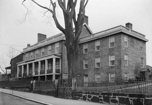
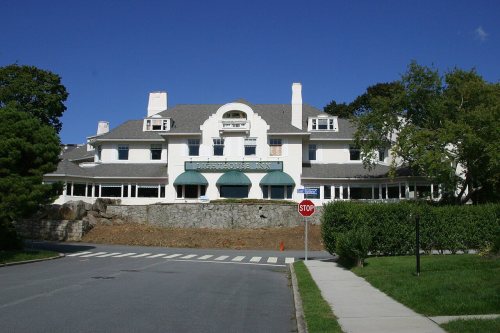
3 decades in the archive, from the 1880s to the 1900s. Scroll each row; tap a photo for its story.
Nothing in the archives for these yearsWeddings on Main Street, storms, parades, school pictures, the old store. If it’s in your family album, it belongs here.
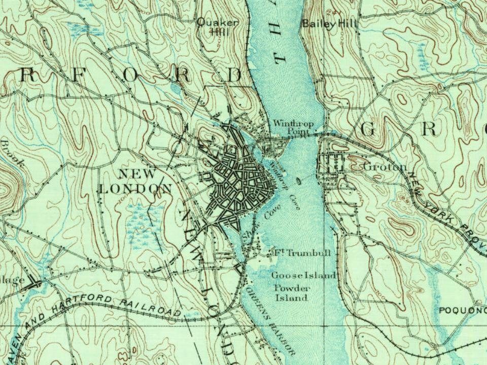
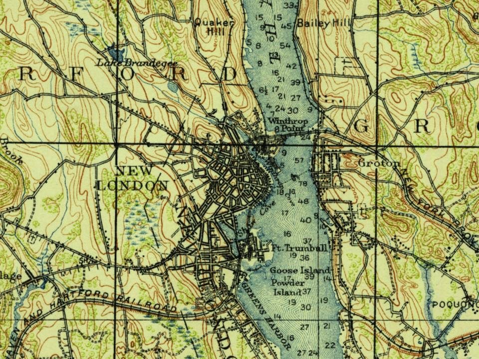
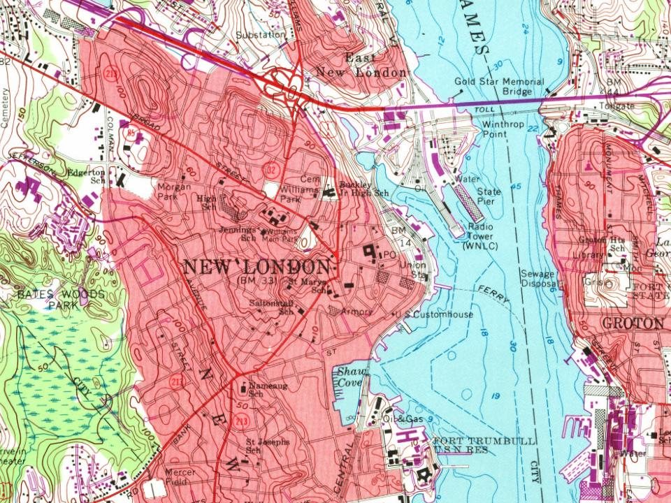
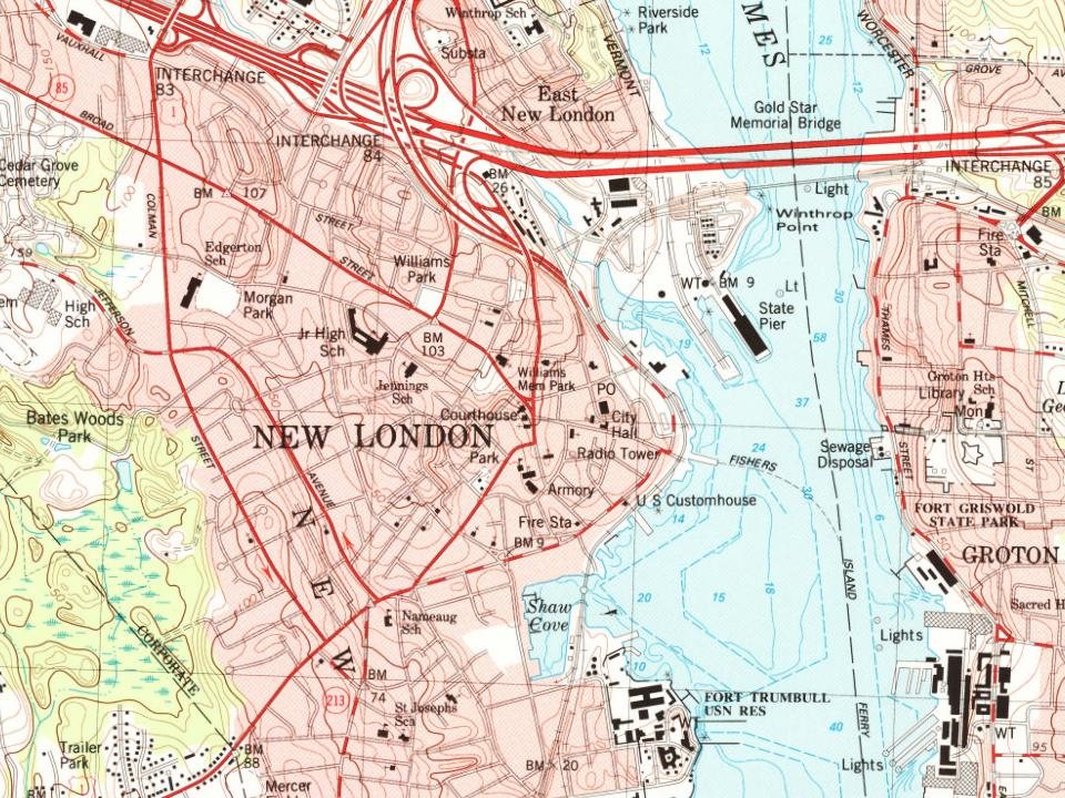
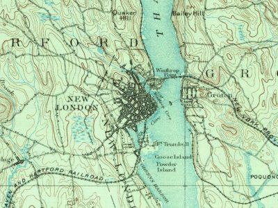
Every edition of the U.S. Geological Survey’s map of New London. Tap a year, or press play to watch the town change.
1892New London sheet · 1:62,500
U.S. Geological Survey historical topographic maps (public domain), via Esri’s collection of the scans. The red ring marks the center of New London.
Every building
New London, building by building, 1884–1921
Fire insurance maps drew every building, what it was made of and what it was used for, so insurers could price the risk of fire. Pick a year, then a sheet.
In 1646, according to Wikidata. New London’s post office opened in 1773, and the census of 1800 counted 5,150 people here.
How does New London rank for history?
New London is among the most historic 1% of U.S. towns, #1 of 155 in Connecticut. The History grade combines the town’s founding era, the share of homes built before 1940 and its National Register listings. It’s a character grade, so it isn’t part of the overall grade. How it works.
What is on the National Register in New London?
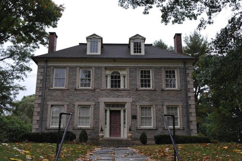
41 listings: 26 buildings, among them the Monte Cristo Cottage (a National Historic Landmark since 1971) and the Joshua Hempstead House (listed 1970, the first), 13 historic districts with 1,407 contributing buildings, and 2 structures. 1,444 historic buildings in all.
How old are the homes in New London?
47% of New London’s homes were built before 1940 (Census estimate, ±3.7 points), against a typical 15% for a Connecticut town; the median home was built in 1945.
Founding dates: Wikidata, Wikipedia, the U.S. post office records of Blevins & Helbock (CC0) and the Census. Homes by year built: Census ACS 2020–24. National Register of Historic Places: National Park Service (list of May 22, 2026). Old photos, postcards and papers: Wikimedia Commons, the Library of Congress and other public archives, credited on each item’s page. Maps: U.S. Geological Survey historical topographic maps (via Esri) and Sanborn fire-insurance maps (Library of Congress). History text and census tables: Wikipedia (CC BY-SA 4.0). Places that used to be: USGS Geographic Names Information System (2021).
From Wikimedia Commons (6), the Library of Congress (2), Wikidata (4), the National Register of Historic Places (41), Wikipedia, U.S. Geological Survey historical maps, U.S. Census counts (via Wikipedia), the US Post Offices dataset (Blevins & Helbock), the USGS Geographic Names Information System, Sanborn fire insurance maps (Library of Congress) and old county and town histories (Internet Archive). Archive images are copied here with their credits and licenses, shown on each photo’s page. Refreshed monthly.


 ★ Landmark







 1891
 1896
 1907–1915
 c. 1907
 1907–1915