Greenwich dates to 1640, and 26% of its homes were built before 1940
More historic than 94% of U.S. towns · #21 of 155 in Connecticut. What drives it
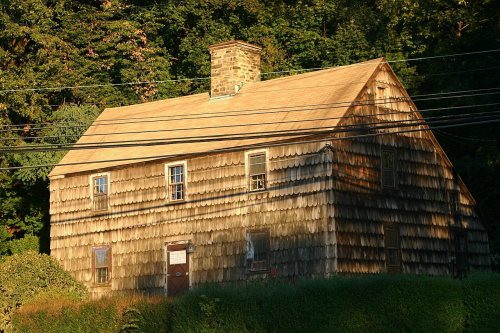
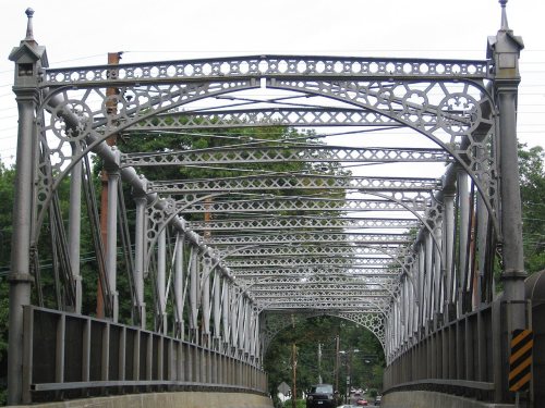
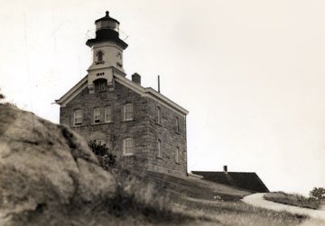
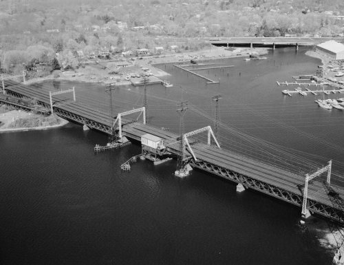
33 places in town are on the National Register, among them the Bush-Holley House, a National Historic Landmark, and ten historic districts with 420 buildings between them. Below: 21 old photos and papers, maps from 1960 on, and the census since 1800.
Founding year: Wikidata; Wikipedia’s history section gives the same year. First post office: 1802. Name: Wikipedia, licensed CC BY-SA 4.0.The full story ↓
History grade
What drives Greenwich’s History grade
On its age, its old homes and the National Register, Greenwich is more historic than 94% of U.S. towns, #21 of 155 in Connecticut. All 3 inputs are above most U.S. towns; its age ranks highest and its National Register listings lowest.
A
HistoryA character grade: shown, never part of Greenwich’s overall grade.
Connecticut towns list more on the Register than most of the country (a typical Connecticut town has 73.3 per 10,000 residents, the U.S. 2.4), so Greenwich’s 73.3 sits near the middle of its state (49% of Connecticut towns have fewer) while its 468 historic buildings outnumber those of 97% of U.S. towns.
How sure. Graded on any two of the three inputs instead, the letter would range from A to A+. The pre-1940 share (±2.0 points) is firm at this size. Two sources give 1640.
Founding year: Wikidata (other dates in Quick answers). Homes: Census ACS 2020–24. National Register: National Park Service, May 2026 list; each listing counted once (boundary changes and added documentation belong to their listing), and a historic district counts its contributing buildings. How TownRatings grades history →
What stands out about Greenwich’s past
Read from the archive, the National Register and the record. The page puts what stands out first.
The town of Greenwich was settled in 1640 by the agents Robert Feake and Captain Daniel Patrick, from Watertown, Massachusetts, who purchased, on behalf of New Haven Colony, the land from the Siwanoy Indians in exchange of 25 English coats. One of the founders was Elizabeth Fones Winthrop Feake, daughter-in-law of John Winthrop, founder and governor of the Massachusetts Bay Colony. It was named after Greenwich, near London. What is now called Greenwich Point was known for much of the area's early history as "Elizabeth's Neck" in recognition of Elizabeth Fones and the 1640 purchase of the Point and much of the area now known as Old Greenwich. Greenwich was declared a township by the Connecticut General Assembly in Hartford on May 11, 1665.
Nothing in the archives for these yearsWeddings on Main Street, storms, parades, school pictures, the old store. If it’s in your family album, it belongs here.
Lost post offices, old corners, places now gone and burying grounds
Greenwich’s post office has been open since 1802. 10 other post offices opened and closed inside today’s town.
Greenwich
1802–today
Round Hill
1830–1901
Stanwich
1830–1901
North Greenwich
1849–1861
Glenville
1850–1959
Mianus
1851–1901
Riverside Station
1872–1875
Riverside
1875–today
Cos Cob
1880–today
Sound Beach
1880–1931
18001910today
Hamlets and corners on the map
Belle HavenByramCos CobEast Port ChesterGlenvilleIndian FieldMianusNorth GreenwichNorth MianusOld GreenwichPemberwickPine HillRiversideRiversvilleRock RidgeStanwich
Gone or out of use
Cheiftan EstatebuildingHavenmeyer SchoolschoolHawkes NestbuildingNumber 9 StablebuildingRound Hill Community HousebuildingRound Hill StablesbuildingSargents Estatebuilding
19cemeteries and burying grounds inside Greenwich
AdamsBrownCloseGreenHebrewHitchcock FamilyHoweKing Street BaptistKnappMerrittPecksPutnamPutnamQuaker RidgeSaint MarysSound Beach AvenueStrickland Road Park IndianTomacUnion
See all 19
Adams Cemetery · Brown Cemetery · Close Cemetery · Green Cemetery · Hebrew Cemetery · Hitchcock Family Burying Ground · Howe Cemetery · King Street Baptist Cemetery · Knapp Cemetery · Merritt Cemetery · Pecks Cemetery · Putnam Cemetery · Putnam Cemetery · Quaker Ridge Cemetery · Saint Marys Cemetery · Sound Beach Avenue Cemetery · Strickland Road Park Indian Cemetery · Tomac Cemetery · Union Cemetery
US Post Offices dataset (Blevins & Helbock, CC0). Places and cemeteries from the USGS Geographic Names Information System (2021).
Help out
Finish Greenwich’s story
Most archives stop around 1920. The photos from after that are in family albums, not libraries.
Decades since 1900 with photos
00s10s20s30s40s50s60s70s80s90s
3 of 10 decades. The empty ones are waiting for someone’s album.
In 1640, according to Wikidata and Wikipedia’s history of the town. Greenwich’s post office opened in 1802, and the census of 1800 counted 3,047 people here.
How does Greenwich rank for history?
Greenwich is more historic than 94% of U.S. towns, #21 of 155 in Connecticut. The History grade combines the town’s founding era, the share of homes built before 1940 and its National Register listings. It’s a character grade, so it isn’t part of the overall grade. How it works.
What is on the National Register in Greenwich?
33 listings: 19 buildings, among them the Bush-Holley House (a National Historic Landmark since 1991) and the French Farm (listed 1975, the first), 11 historic districts with 420 contributing buildings, and 2 structures. 468 historic buildings in all.
How old are the homes in Greenwich?
26% of Greenwich’s homes were built before 1940 (Census estimate, ±2.0 points), against a typical 15% for a Connecticut town; the median home was built in 1963.
Founding dates: Wikidata, Wikipedia, the U.S. post office records of Blevins & Helbock (CC0) and the Census. Homes by year built: Census ACS 2020–24. National Register of Historic Places: National Park Service (list of May 22, 2026). Old photos, postcards and papers: Wikimedia Commons, the Library of Congress and other public archives, credited on each item’s page. Maps: U.S. Geological Survey historical topographic maps (via Esri) and Sanborn fire-insurance maps (Library of Congress). History text and census tables: Wikipedia (CC BY-SA 4.0). Places that used to be: USGS Geographic Names Information System (2021).
From Wikimedia Commons (18), the Library of Congress (3), Wikidata (3), the National Register of Historic Places (32), Wikipedia, Wikidata and Wikipedia for famous people, U.S. Geological Survey historical maps, U.S. Census counts (via Wikipedia), the US Post Offices dataset (Blevins & Helbock) and the USGS Geographic Names Information System. Archive images are copied here with their credits and licenses, shown on each photo’s page. Refreshed monthly.


 ★ Landmark







 c. 1890
 1898
 1902
 1905
 1906
 1906
 1907
 c. 1908
 1908
 1911
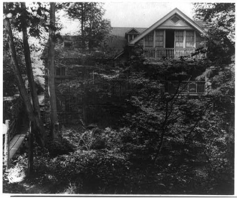 1914
 1917
 1917
 1918
 1940
 1942


