Danbury dates to 1685, and 15% of its homes were built before 1940
More historic than 81% of U.S. towns · #85 of 155 in Connecticut. What drives it
12 places in town are on the National Register, among them a historic district with 97 buildings. Below: 16 old photos and papers, maps from 1884 on, and the census since 1790.
Founding year: Wikipedia. First post office: 1785.The full story ↓
History grade
What drives Danbury’s History grade
On its age, its old homes and the National Register, Danbury is more historic than 81% of U.S. towns, #85 of 155 in Connecticut. All 3 inputs are above most U.S. towns; its age ranks highest and its National Register listings lowest.
A−
HistoryA character grade: shown, never part of Danbury’s overall grade.
Connecticut towns list more on the Register than most of the country (a typical Connecticut town has 73.3 per 10,000 residents, the U.S. 2.4), so Danbury’s 13.4 sits below most of its state (16% of Connecticut towns have fewer) while its 117 historic buildings outnumber those of 90% of U.S. towns.
How sure. Graded on any two of the three inputs instead, the letter would range from B to A−. The pre-1940 share (±2.0 points) is firm at this size. Two sources give 1685.
Founding year: Wikipedia (other dates in Quick answers). Homes: Census ACS 2020–24. National Register: National Park Service, May 2026 list; each listing counted once (boundary changes and added documentation belong to their listing), and a historic district counts its contributing buildings. How TownRatings grades history →
What stands out about Danbury’s past
Read from the archive, the National Register and the record. The page puts what stands out first.
Children of IsraelGreat PlainImmanuel LutheranKing Street United ChurchMill PlainOld Main StreetPembrokeSaint PetersSaint Platons OrthodoxWoosterWooster StreetWooster Street
US Post Offices dataset (Blevins & Helbock, CC0). Places and cemeteries from the USGS Geographic Names Information System (2021).
On the National Register
12 listings protect 117 historic buildings
The country’s official list of buildings and places worth saving.
Danbury was settled by colonists in 1685, when eight families moved from what are now Norwalk and Stamford, Connecticut. The Danbury area was then called Pahquioque by its namesake, the Algonquian-speaking Pahquioque Native Americans (they are believed to have been a band of the Paugussett people), who occupied lands along the Still River. Bands were often identified by such geographic designation but they were associated with the larger nation by culture and language).
Passages that mention Danbury, cut from the printed page as they were published.
History of Fairfield County, Connecticut, 1639-19281929 · page 97Read the page →
Read the text
In 1888 and for the five subsequent years Colonel Stevenson was vice president and general manager of the Housatonic Rail¬ road, president of the New Haven & Derby Railroad, manager and director of the Danbury & Norwalk Railroad, director of the New York & New England Railioad, piesident of the New York Rutland & Montreal Railroad, and vice president and man ager ’of the Shepaug, Litchfield & Northern Railroad. These roads were combined under a syndicate which planned to have an
Text read by machine from the scan; it may contain errors.
History of Fairfield County, Connecticut, 1639-19281929 · page 458Read the page →
Read the text
Martin Gorman received his education in the public schools of Danbury and then began working at the hat industry, in some phase or another of which he has been employed continuously since 1880 in the various factories of Danbury. In 1917 Mr.
Text read by machine from the scan; it may contain errors.
The history of Fairfield, Fairfield County, Connecticut, from the settlement of the town in 1639 to 18181889 · page 144Read the page →
Read the text
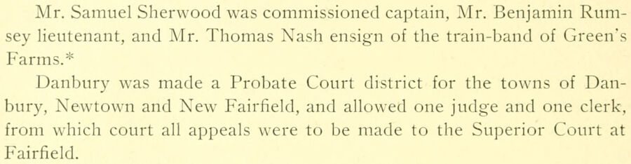
Mr, Samuel Sherw'ood was commissioned captain, Mr. Benjamin Rumsey lieutenant, and Air. Thomas Nash ensign of the train-band of Green's Farms.* Danbury was made a Probate Court district for the towns of Danbury, Newtown and New Fairfield, and allowed one judge and one clerk, from which court all appeals were to be made to the Superior Court at Fairfield.
Text read by machine from the scan; it may contain errors.
Scans and text from the Internet Archive. Books published in 1930 or earlier, which are in the public domain.
Timeline
Danbury, 1685 to 1994
Woven from the archive, old maps, post office records, the National Register and the people born here.
Nothing in the archives for these yearsWeddings on Main Street, storms, parades, school pictures, the old store. If it’s in your family album, it belongs here.
Fire insurance maps drew every building, what it was made of and what it was used for, so insurers could price the risk of fire. Pick a year, then a sheet.
In 1685, according to Wikipedia’s history of the town. Danbury’s post office opened in 1785, and the first U.S. census counted 3,031 people here in 1790.
How does Danbury rank for history?
Danbury is more historic than 81% of U.S. towns, #85 of 155 in Connecticut. The History grade combines the town’s founding era, the share of homes built before 1940 and its National Register listings. It’s a character grade, so it isn’t part of the overall grade. How it works.
What is on the National Register in Danbury?
12 listings: 10 buildings, among them the Octagon House (listed 1973, the first), 1 historic district, the Main Street Historic District, with 97 contributing buildings, and 1 structure. 117 historic buildings in all.
How old are the homes in Danbury?
15% of Danbury’s homes were built before 1940 (Census estimate, ±2.0 points), against a typical 15% for a Connecticut town; the median home was built in 1975.
Founding dates: Wikidata, Wikipedia, the U.S. post office records of Blevins & Helbock (CC0) and the Census. Homes by year built: Census ACS 2020–24. National Register of Historic Places: National Park Service (list of May 22, 2026). Old photos, postcards and papers: Wikimedia Commons, the Library of Congress and other public archives, credited on each item’s page. Maps: U.S. Geological Survey historical topographic maps (via Esri) and Sanborn fire-insurance maps (Library of Congress). History text and census tables: Wikipedia (CC BY-SA 4.0). Places that used to be: USGS Geographic Names Information System (2021).
From Wikimedia Commons (15), the Library of Congress (1), Wikidata (2), the National Register of Historic Places (12), Wikipedia, Wikidata and Wikipedia for famous people, U.S. Geological Survey historical maps, U.S. Census counts (via Wikipedia), the US Post Offices dataset (Blevins & Helbock), the USGS Geographic Names Information System, Sanborn fire insurance maps (Library of Congress) and old county and town histories (Internet Archive). Archive images are copied here with their credits and licenses, shown on each photo’s page. Refreshed monthly.


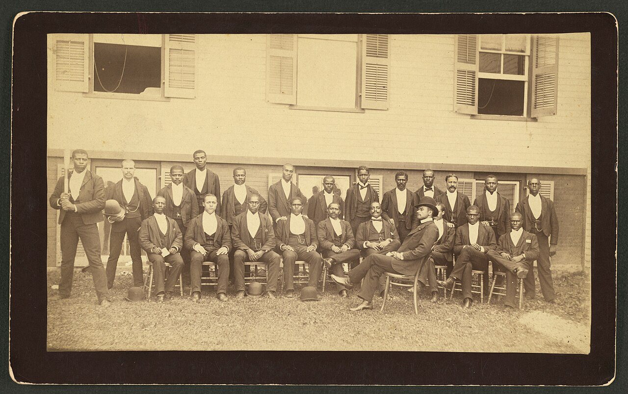
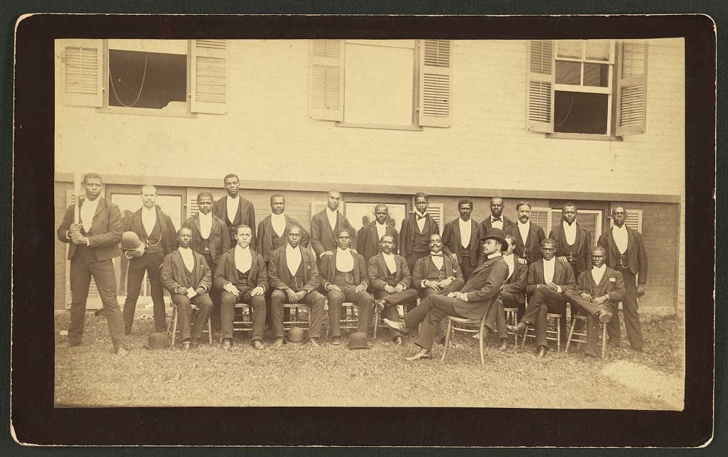

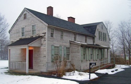


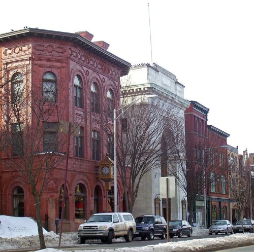

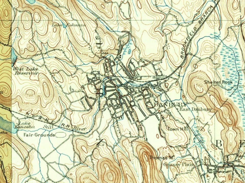
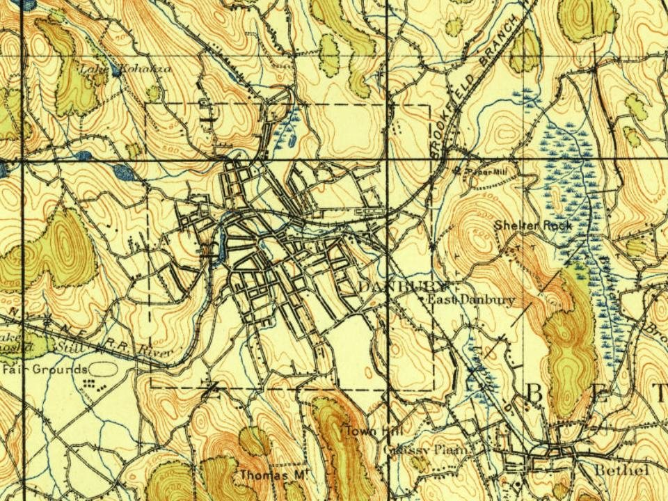
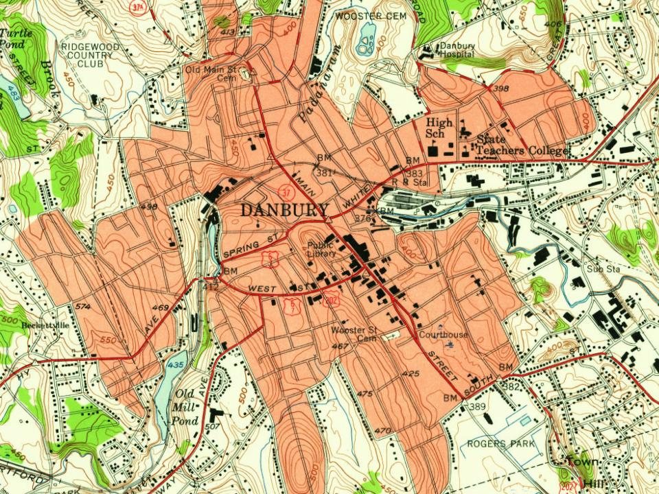
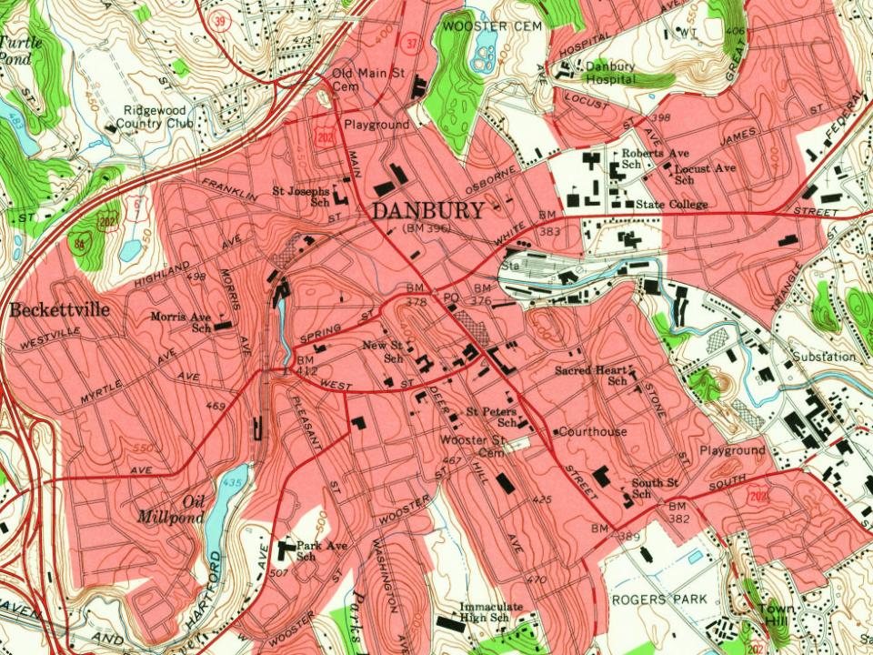
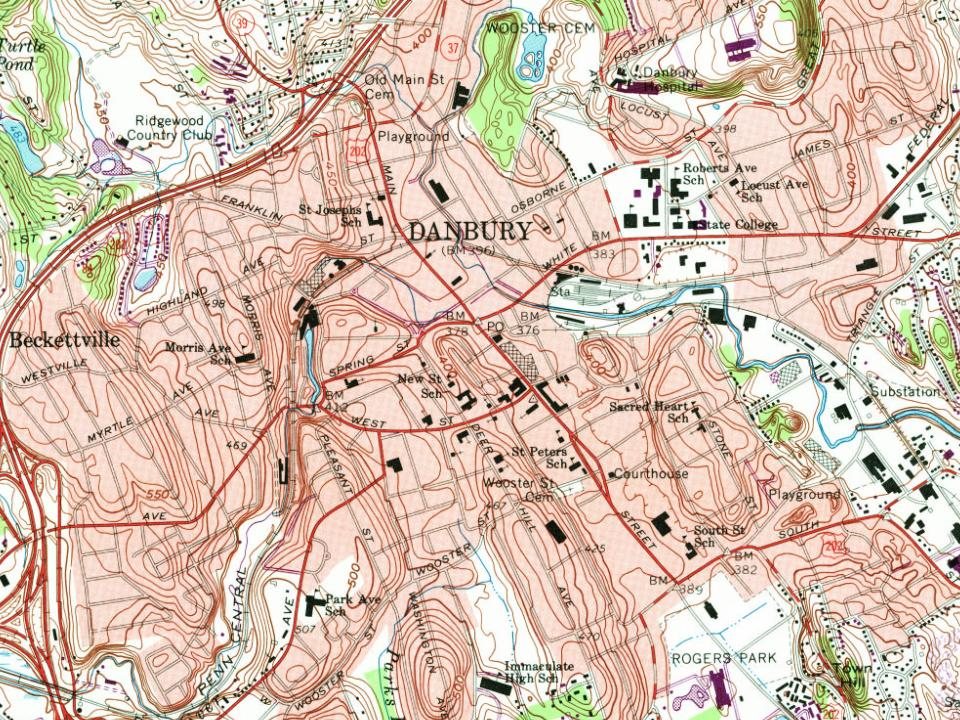
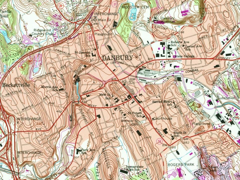



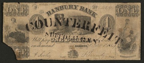
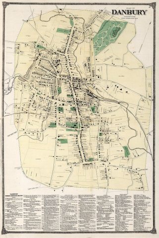


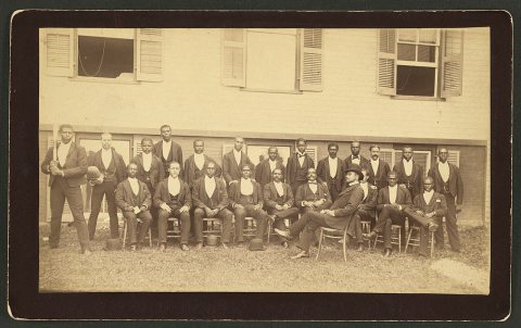
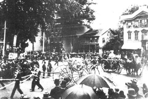
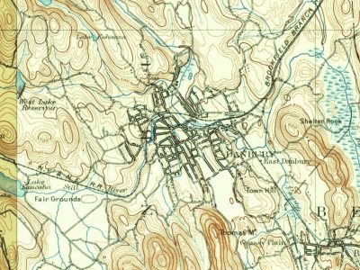




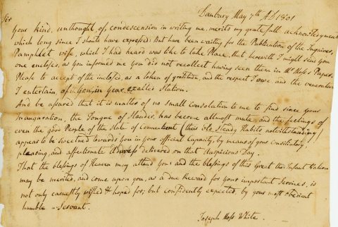 1801
 1858
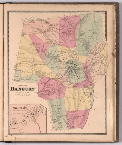 1867
 1875
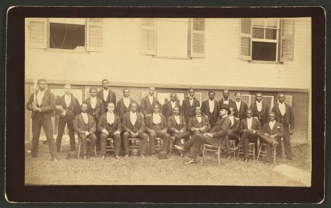 1880
 1884
 1884
 1889
 1889
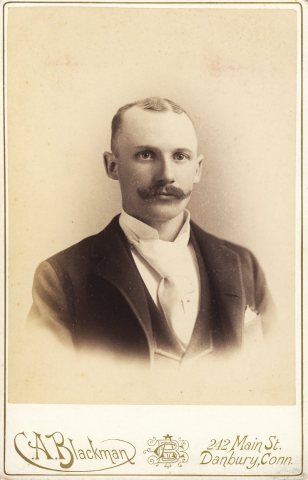 c. 1895

