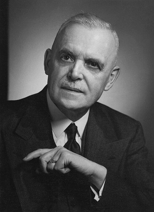
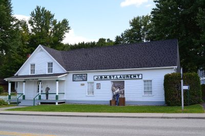
Louis S. St. Laurent · Photo: Mario Hains · CC BY-SA 3.0
3historic places on the registers
History of Compton · Canada’s heritage registers
The registers list 3 historic places in Compton, one at the top
The record has 2 Recognized Federal Heritage Buildings. For its size Compton is rich ground: 9 per 10,000 residents, ahead of 97% of Canadian towns. Its oldest building on the record is Louis S. St. Laurent, from 1839.
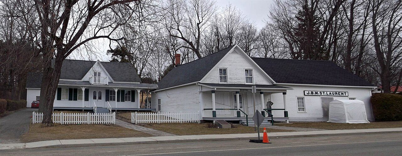
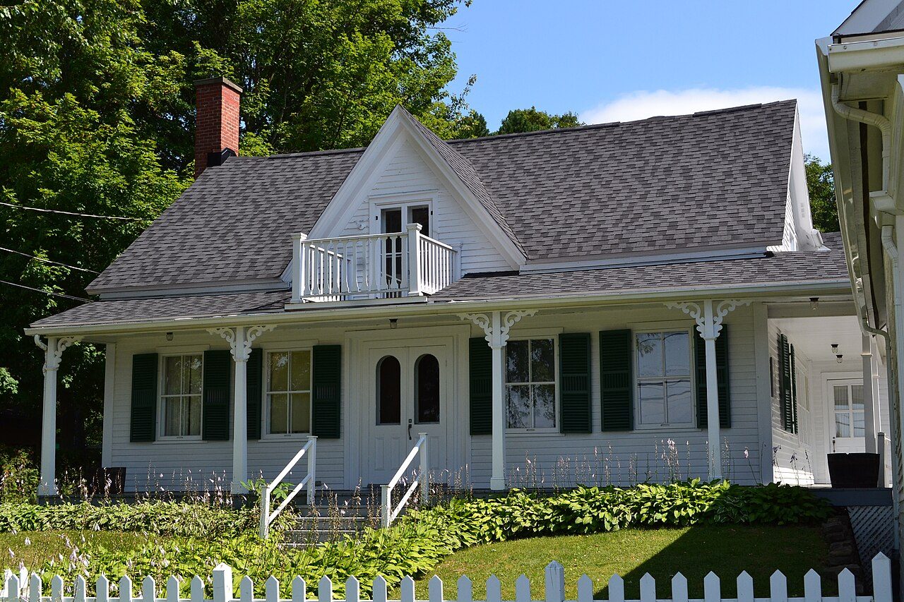
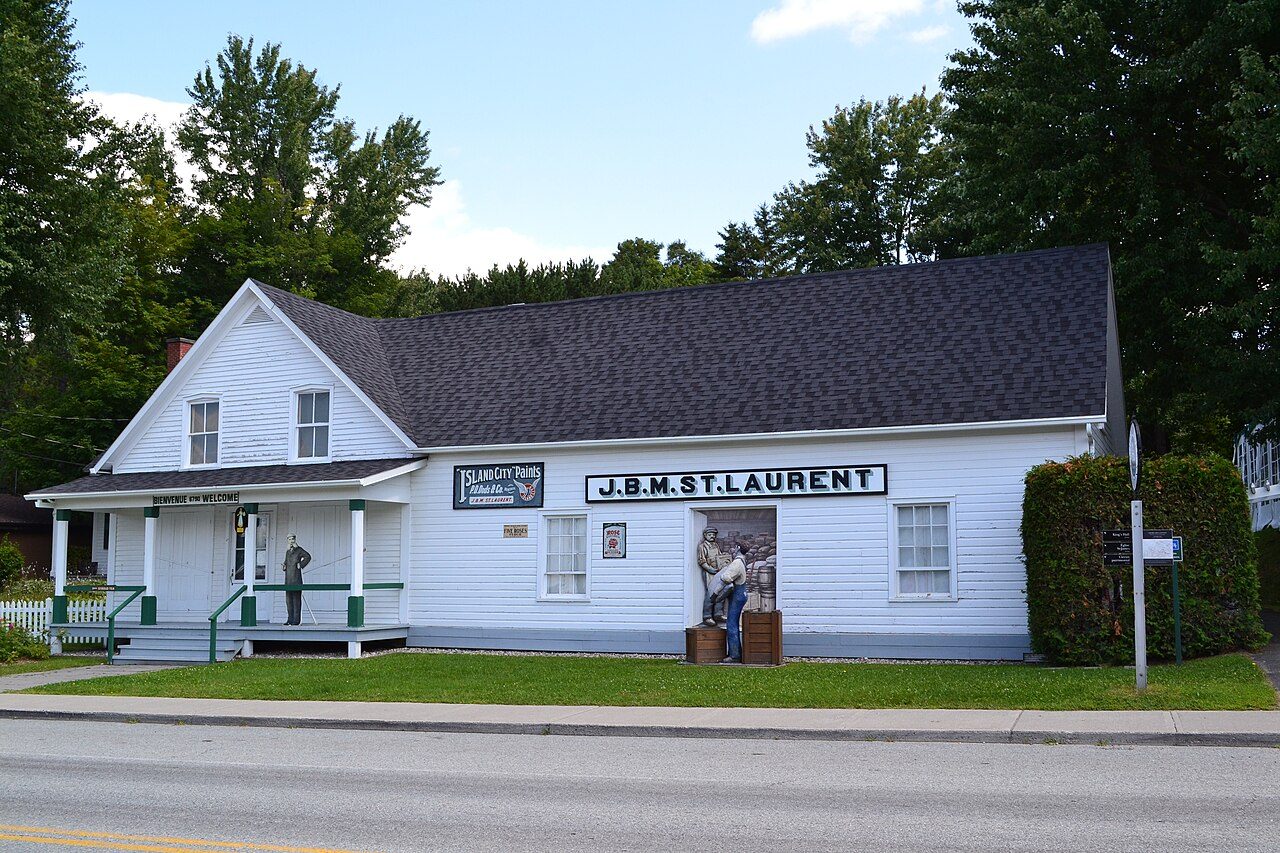
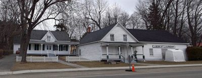
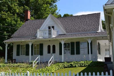
Among them: Louis S. St. Laurent and St. Laurent House. Photos show every place Compton’s registers name. Go back furthest in Compton with Louis S. St. Laurent: 1839.
Photos from Wikimedia Commons, each credited to its photographer with its licence; names open the place’s page. Tap a photo to step through them full screen.
How it began
Compton’s record begins in 1994
In 1994 the municipality took over from Compton and Compton. For the municipality of Compton itself, Wikidata records June 22, 1994, a date that can be a founding as much as a merger.
Every place on the registers inside the town, by its designation.
Highest designationsOther federal designations
Hover a dot for its name; tap one to open its page.
The 3, by tier
1 Highest designations2 Other federal designations
In Québec the record is fuller than elsewhere: beside Parks Canada’s designations, the province’s register lists its classements and every municipal citation.
Points from Wikidata (Parks Canada’s files carry none) and from Québec’s register, as mapped there.
Highest designations
One place in Compton with the highest designation
National Historic Sites and Classified Federal Heritage Buildings, Canada’s highest federal recognition. Each one opens its own page.
Recognized Federal Heritage Buildings, heritage railway stations and lighthouses. St. Laurent House is the earliest, from 1839; the latest dates from 1866. Each one opens its own page.
Old houses stand out in Compton: 23% predate 1961, where most towns have 18%
Compton’s largest group of homes, 28%, went up from 1961 to 1980. From 2016 on, Compton built only 2.7% of its homes; the typical town built 4.1%. Homes built from 2001 to 2015 make up 19% of Compton’s, against 15% in the typical town.
23%
Before 1961
28%
1961–80
26%
1981–2000
19%
2001–15
2.7%
2016–21
ComptonTypical town
2021 Census, private dwellings by period of construction (Statistics Canada); the typical town is the middle Canadian town of 2,500 or more.
Born here
One of Canada’s national historic persons, tied to Compton
Fame, by Wikipedia: Louis St. Laurent first, in 44 languages. Louis S. St. Laurent, inside the town, is tied to Louis St. Laurent. In 1823 came the earliest, Matthew Henry Cochrane. Most of them, 5 of 9, came into the world in the decades after Confederation.
Matthew Henry Cochrane
Lucius Seth Huntington
William W. Grout
Josiah Grout
Thomas Brick
William Carlos Ives
William H. Bringloe
Louis St. Laurent
Leonard Lafond
1800182518501875190019251950
Louis St. Laurent1882–1973 · National historic person, 1973 · Remembered at Louis S. St. Laurent
JG
Josiah Grout1841–1925 · American politician
William W. Grout1836–1902 · Union Army officer and politician
Lucius Seth Huntington1827–1886 · Canadian politician
William Carlos Ives1873–1950 · Canadian politician
Matthew Henry Cochrane1823–1903 · Canadian politician
TB
Thomas Brick1867–1938 · Canadian politician
WB
William H. Bringloe1875–1937 · Canadian horse trainer
Everyone born in Compton → Born before 1914, or named by one of the town’s historic places. Birthplaces from Wikidata, each checked against Wikipedia; national historic persons from Parks Canada’s Directory of Federal Heritage Designations, matched by name and life years.
Towns its size
Compton has the 3rd most of 16 towns its size
Towns of 3,300 to 3,400 residents, by places on the registers.
Before 1961: 23% of Compton’s homes, against 18% in the typical town. Together that makes 3 historic places, one with the highest designation, led by Louis S. St. Laurent. Of the 16 towns closest in size, just 2 have more historic places. Louis St. Laurent (1882), Josiah Grout (1841) and William W. Grout (1836) lead its people of the past. Beyond that, its places were designated between 1973 and 1998.
How to read these numbers
What this data can and can’t tell you
•
Protection. Québec’s classements and citations carry legal protection: work on a classified building needs the minister’s authorization, on a cited one the municipality’s. Federal designations commemorate.
•
The federal register. Every federal designation is in Parks Canada’s directory, and the Canadian Register of Historic Places gives most of them a bilingual statement of significance.
•
Québec’s register. Québec’s Répertoire du patrimoine culturel records the province’s classements and declarations and every municipal citation, each with a description and a point.
•
The tiers. National Historic Sites and the most protected buildings form the top tier; recognized federal buildings, stations and lighthouses the second; provincial and municipal listings the third.
•
The grade. History isn’t one of Canada’s graded pillars, so this page describes and compares without a letter.
•
People and events. Parks Canada’s open file gives its national historic persons no place. A town’s page names one only when the person was born there (matched by name and both life years) or one of its own historic places carries the name and its record speaks of them; national historic events stay off.
•
Map points. Pins for federal places come from Wikidata rather than Parks Canada, which gives no points.
Questions about Compton’s history
Which places in Compton have the highest designation?
It is Louis S. St. Laurent.
What is the oldest building in Compton?
Louis S. St. Laurent (National Historic Site): the first construction date on its record is 1839.
How old are the homes in Compton?
Before 1961: 23% of its homes; the typical town has 18%.
Contains information licensed under the Open Government Licence – Canada (Parks Canada).
Sources: Parks Canada, Directory of Federal Heritage Designations · Canadian Register of Historic Places (federal extract) · Wikidata (CC0) for map points, other names and articles · Statistics Canada, 2021 Census (homes by period of construction). Under the Statistics Canada Open Licence.
 Top
 Fed
 Fed