
Workshop
In French: Atelier du canal de Sault-Sainte-Marie
About Workshop
Workshop is one of 3 Recognized Federal Heritage Buildings in Sault Ste. Marie. Its record dates Workshop to 1895–1897. J.B. Spense, Department of Railways and Canals designed it. 4 neighbours on the registers lie within 400 m.
The Workshop is set amongst a group of buildings located on St. Mary’s Island, which is bisected by the Sault Ste. Marie Canal. The two-storey, stone building has a gable roof, exterior walls of sandstone, regularly placed windows and doors, and minimal detailing. A one-storey gable roofed extension abuts the main building. The designation is confined to the footprint of the building.
From the Canadian Register of Historic Places, Workshop · Open Government Licence – Canada · quoted as the register has it
Federal heritage buildings are Classified or Recognized; this one is Recognized.
Make it a walk: 4 historic places in about 15 minutes
Sault Ste. Marie · about 700 m on foot, as the crow flies


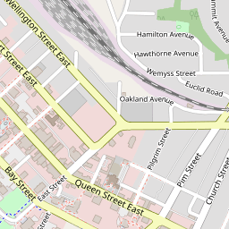


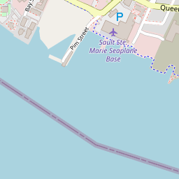
3 within 300 m
Every place on the record within this distance; each opens its own page.
Questions about Workshop
Is Workshop protected?
The federal heritage policy applies while Canada owns it.
What is Workshop?
Since 1986, Workshop has been a Recognized Federal Heritage Building.
Can you visit Workshop?
It can be seen from the street; whether you can go inside depends on its owner.
When was Workshop built?
Work on Workshop is recorded as 1895–1897.
Contains information licensed under the Open Government Licence – Canada (Parks Canada).
Sources: Parks Canada, Directory of Federal Heritage Designations · Canadian Register of Historic Places (federal extract) · Photos: Wikimedia Commons, each credited with its licence and copied to our own server · Wikidata (CC0) for map points, other names and articles.
Adapted from Statistics Canada (Census of Population 2021, population estimates 2025, 2021 census boundaries) under the Statistics Canada Open Licence; this does not constitute an endorsement by Statistics Canada. Neighbourhood names in some cities © OpenStreetMap contributors (ODbL).