
Power House
In French: Station de pompage / centrale électronique
Also known as Pump House
Sault Ste. Marie Canal
About Power House
In Sault Ste. Marie, Power House is the federal building of the highest heritage rank. The register gives 1894–1895 for Power House. J.B. Spence, Department of Railways and Canals designed it. 4 neighbours on the registers lie within 400 m.
The Power House, also known as the Pump House, is set amongst a group of buildings located on St. Mary’s Island, which is bisected by the Sault Ste. Marie Canal. The eclectic, classically-inspired building is composed of one-and two-storey sections, with each façade differing in height and detailing. The building has exterior walls of textured red sandstone blocks, contrasting limestone quoins and window surrounds, and decoratively framed segmental-arched windows. The designation is confined to the footprint of the building.
From the Canadian Register of Historic Places, Power House · Open Government Licence – Canada · as published, word for word
Federal heritage buildings are Classified or Recognized; Classified is the higher rank.
Make it a walk: 4 historic places in about 15 minutes
Sault Ste. Marie · about 700 m on foot, as the crow flies


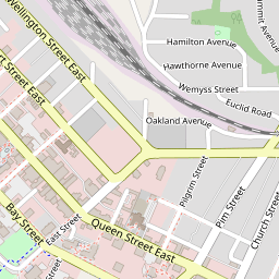


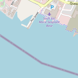
3 within 300 m
Every place on the record within this distance; each opens its own page.
Questions about Power House
When was Power House built?
By its record, Power House dates from 1894–1895.
Is Power House protected?
As a Classified federal building, any work on it needs the federal heritage review’s advice while Canada owns it.
Can you visit Power House?
The outside is easy to see; inside, it depends on the owner’s rules.
What is Power House?
Since 1986, Power House has been a Classified Federal Heritage Building.
Contains information licensed under the Open Government Licence – Canada (Parks Canada).
Sources: Parks Canada, Directory of Federal Heritage Designations · Canadian Register of Historic Places (federal extract) · Photos: Wikimedia Commons, each credited with its licence and copied to our own server · Wikidata (CC0) for map points, other names and articles.
Adapted from Statistics Canada (Census of Population 2021, population estimates 2025, 2021 census boundaries) under the Statistics Canada Open Licence; this does not constitute an endorsement by Statistics Canada. Neighbourhood names in some cities © OpenStreetMap contributors (ODbL).