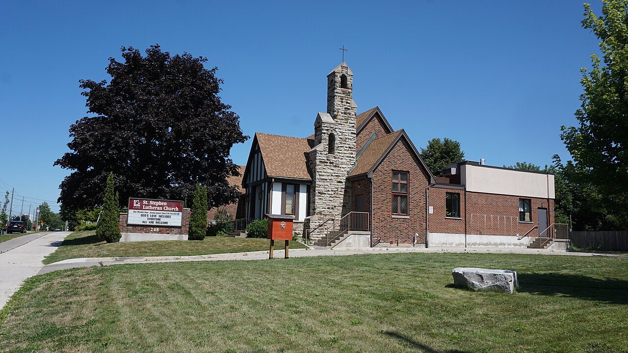
SouthdaleKitchener
A neighbourhood of 5,277 in Kitchener. Kitchener is split into 37 neighbourhoods, and this is one.
Is Southdale a good place to live?
Homes are dear (D−). With a C+ overall, Southdale is better than 37% of Canadian towns and ranks #626 of 858 in Ontario. People here tend to be in good health (A). It also does well on walkability (A). Jobs and pay trail most towns (D). Elsewhere it is close to typical: C+ for safety and B− for schools.
Rents here are the metro area's average, shared by every town and neighbourhood in it. Safety less sure: this is the whole city's figure, because the city doesn't publish open neighbourhood crime rates. Health is graded on the health region's survey figures and life expectancy, with the distance to hospital giving the town its own spread.
What makes Southdale stand out
The 3 things Southdale does most differently from other towns.
How Southdale grades
Each subject compares Southdale with Canadian towns of 2,500 or more, ordered by how far it is from the middle. Towns in other countries are graded separately.
How TownRatings grades Canadian towns →
Doon Heritage Village and 19 more in and around Southdale
Sights in Southdale and close by, ordered by how widely each is known.
 MuseumDoon Heritage Village4.4 km outside town, to the southeast · 80K visitors a year
 MuseumTHEMUSEUM1.3 km outside town, to the north
 Ski hillChicopee Ski Club4.4 km outside town, to the east
 Art galleryCanadian Clay and Glass Gallery3.7 km outside town, to the northwest
 MuseumJoseph Schneider Haus700 m outside town, to the northwest
 MuseumWoodside2.9 km outside town, to the north
Photos: each place’s Wikidata image, from Wikimedia Commons under the licence below (our copy, resized).
Photo credits (6)
- Doon Heritage Village: Pcorb, CC BY-SA 3.0, Wikimedia Commons
- THEMUSEUM: Illustratedjc, CC BY-SA 3.0, Wikimedia Commons
- Chicopee Ski Club: Beowulf cam at English Wikipedia, Public domain, Wikimedia Commons
- Canadian Clay and Glass Gallery: JFVoll, CC BY-SA 3.0, Wikimedia Commons
- Joseph Schneider Haus: Yoho2001, CC BY-SA 3.0, Wikimedia Commons
- Woodside: Carole Moran from Cambridge, Ontario, Canada, CC BY 2.0, Wikimedia Commons
The data
Data highlights are ordered by what stands out in Southdale.
Rent takes more of local pay in Southdale than in Ontario’s towns or Canadian towns: 35% of household income
29% of households spent 30% or more of their income on shelter, above both Ontario’s towns (22%) and Canadian towns (18%). The median home value was $500,000, lower than Ontario’s towns ($695,000) yet higher than Canadian towns ($406,000). Figures for rent as a share of income and monthly rent for a two-bedroom are published for the Kitchener-Cambridge-Waterloo metro area as a whole, not for Southdale alone.
What homes were worth · The median owner’s estimate at the 2021 census
| Census 2021 | Southdale | Ontario | Canada |
|---|---|---|---|
| Rent as a share of income | 35% | 22% | 20% |
| Households spending 30%+ on shelter | 29% | 22% | 18% |
| Median home value, 2021 | $500,000 | $695,000 | $406,000 |
Statistics Canada, Census 2021; CMHC Rental Market Survey via Statistics Canada · Home values are owners’ own estimates at the May 2021 census, and incomes are for 2020.
Southdale gets an A for health
Expected years of life at birth: 82.8, about level with Ontario’s towns (82.8) and above Canadian towns (81.5). At 9%, the share of adults who smoke sits under the 11% for Ontario. The survey puts the region’s share in very good or excellent health at 53%, ahead of the 51% for Ontario. The town’s own part is the trip to care, and Southdale is well placed: 1.2 km to a hospital on average, against 3.7 km typical. Southdale doesn’t get its own health survey and life expectancy figures; the ones here come from the Waterloo Health Unit.
Very good or excellent health · adults, age-standardised
| Health | Southdale | Ontario | Canada |
|---|---|---|---|
| Chronic conditions (average share) | 16% | 17% | 17% |
| Smokers | 9% | 10% | 12% |
| Very good or excellent health | 53% | 51% | 52% |
| Life expectancy at birth | 82.8 | 82.8 | 81.5 |
Statistics Canada, Canadian Community Health Survey 2023/2024 and life expectancy 2022/2024; Open Database of Healthcare Facilities
Household incomes in Southdale are lower than in 84% of Canadian towns
Commutes averaged 25 min, below Ontario’s towns (29 min) and close to Canadian towns (26 min). The car took 88% of commuters, close to both Ontario’s towns (88%) and Canadian towns (89%).
How working residents got to work · census 2021
| Census 2021 | Southdale | Ontario | Canada |
|---|---|---|---|
| Average trip | 25 min | 29 min | 26 min |
| Car or van | 88% | 88% | 89% |
Statistics Canada, Census 2021 (labour and commuting) · Census day was in May 2021, mid-pandemic, so commuting and work figures carry the lockdowns’ mark.
Flood mapping exists for Southdale: 1 on record, latest by Grand River Conservation Authority
In Health Canada’s survey, just 4% of homes tested in the area exceeded 200 Bq/m³ (6.6% typical). Seismic risk in Southdale sits near the middle: $0.022 of expected damage per $1,000 of buildings a year, the typical town $0.030.
Radon tests above the guideline · share of tested homes, 200 Bq/m³
| Hazards | Southdale | Ontario | Canada |
|---|---|---|---|
| Radon tests above the guideline | 4% | 4% | 6.6% |
| Earthquake loss per $1,000 of buildings a year | $0.022 | $0.043 | $0.030 |
NRCan seismic risk model and burned areas, Health Canada radon survey, the Flood Hazard Map Inventory · Earthquake risk: one figure for all of the city of Kitchener
Southdale gets a C+ for safety
Violent incidents in its police area came to 14.2 per 1,000 residents a year, higher than both Ontario’s towns (10.5) and Canadian towns (12). The index for the force that serves it came to 72, above both Ontario’s towns (56) and Canadian towns (67).
Year by year · Crime Severity Index for each year
| 2023–2025 | Southdale | Ontario | Canada |
|---|---|---|---|
| Violent crime | 14.2 | 10.5 | 12 |
| Crime Severity Index | 72 | 56 | 67 |
Statistics Canada, Uniform Crime Reporting Survey, 2023–2025 average · Crime Severity Index, Violent Crime Severity Index, violent crime and property crime per 1,000 published for the Waterloo Region (Kitchener) service area, not by town
January lows in Southdale: −10.3°C, against −9.1°C in Ontario’s towns and −13.5°C in Canadian towns
A normal winter brings 115 cm of snow, below Ontario’s towns (146 cm) and Canadian towns (141 cm) alike. Frost usually lifts by 8 May and returns around 5 October: 149 days without it. Also worth knowing: rain and snow peak in July, at 96 mm. January is the snowiest month, with 32 cm on average.
Average high by season · ECCC normals, 1991–2020
| Normals, 1991–2020 | Southdale | Ontario | Canada |
|---|---|---|---|
| Snowfall a year | 115 cm | 146 cm | 141 cm |
| January night low | −10.3°C | −9.1°C | −13.5°C |
| July afternoon high | 26.6°C | 26.7°C | 25.5°C |
| Days with frost a year | 156 | 139 | 159 |
Environment and Climate Change Canada, Canadian Climate Normals 1991–2020 (Kitchener/Waterloo)
A younger town: only 15% of people in Southdale are 65 or over, fewer than in Ontario’s towns and Canadian towns
27% of residents belong to a visible minority, near Ontario’s towns (26%) and higher than Canadian towns (15%). First Nations, Métis and Inuit people make up 3.3% of residents, above both Ontario’s towns (1.6%) and Canadian towns (2.8%).
Ages · Share of residents in each age group, Census 2021
Schooling · Highest qualification, residents 15 and over
Women and men · all residents
49.4% of Southdale’s residents are women
Here the census found 2,675 men and 2,610 women; the figure for women across Canada is 50.9%.
| Southdale | Ontario | Canada | |
|---|---|---|---|
| Under 15 | 16% | 15% | 16% |
| 15 to 64 | 69% | 65% | 64% |
| 65+ | 15% | 19% | 19% |
| No certificate, diploma or degree | 24% | 15% | 16% |
| Postsecondary qualification | 45% | 56% | 56% |
Statistics Canada, Census 2021; Ontario and Canada: medians of towns of 2,500+
What November brings in Southdale: −2°C at night, 7°C by day
November normally sees 75 mm of precipitation. Into December, the normals move to 1°C and −6°C. Snow is normal by November, about 9 cm over the month. Normal highs peak at 27°C in July; nights bottom out at −10°C in January.
Normal highs, the months ahead · ECCC normals, 1991–2020
| Season | High | Low | Rain and snow |
|---|---|---|---|
| Winter | −1°C | −9°C | 167 mm |
| Spring | 12°C | 0°C | 218 mm |
| Summer | 25°C | 13°C | 244 mm |
| Autumn | 14°C | 4°C | 221 mm |
ECCC normals, 1991–2020 (Kitchener/Waterloo); the forecast is on the Weather page
Council seats in Kitchener are spread thin, 29,450 residents each, more than in 98% of Ontario municipalities
Kelly DeRidder (Conservative Party of Canada) is the MP for Kitchener Centre, the riding (a federal electoral district, which elects one MP) that takes in Southdale.
| Turnout | Southdale | Ontario | Canada |
|---|---|---|---|
| Municipal election, 2022 | 20% | 31% | 31% |
Wikidata, MAMH, MMAH, Statistics Canada
Southdale has no public library of its own; the nearest is Kitchener Public Library - Country Hills, 2.1 km away
Kitchener public library serves the whole of Kitchener, so the library figures on this page are the city’s: 292,240 people, Southdale among them.
Provincial library statistics, OpenStreetMap, the CRA and Statistics Canada
Most schools around Southdale score below the middle in Ontario: 23 of 33
Taken together, Southdale and its 3 km edge hold 33 elementary schools and 5 secondary schools for 21,225 students. The largest is St Mary's High School, with 2,240 students. Of the 38, one teaches in French (10% of schools in Ontario).
| School | Level | Students | System |
|---|---|---|---|
| St Anne Catholic Elementary School CatholicLargest elementary schoolElementary · Grades JK–8 | Elementary · Grades JK–8 | 750 | English Catholic |
| St Mary's High School CatholicLargest secondary schoolSecondary · Grades 9–12 | Secondary · Grades 9–12 | 2,240 | English Catholic |
| ÉÉC Cardinal-Léger FrenchTeaches in FrenchElementary · Grades JK–6 | Elementary · Grades JK–6 | 250 | French Catholic |
Schools by system · Schools within 3 km
| Schools within 3 km | Southdale | Ontario | Canada |
|---|---|---|---|
| School boards | 3 | 4 | 3 |
Provincial school lists and results, 2024-25
20 public protected areas lie within 10 km of Southdale
Huron Natural Area (96 ha) is the biggest, 2.8 km from town. A provincial park, Trillium Woods Provincial Park, lies 48 km away. The nearest national park is more than 100 km away.
Protected land · of the land within 10 km
| Outdoors | Southdale | Ontario | Canada |
|---|---|---|---|
| Public protected areas within 10 km | 20 | 4 | 4 |
| Protected land within 10 km | 1.9% | 2.3% | 2.3% |
Canadian Protected and Conserved Areas Database (CPCAD), OpenStreetMap routes and beaches
Older housing stands out in Southdale: 38% predates 1961
| Heritage | Southdale | Ontario | Canada |
|---|---|---|---|
| Homes built before 1961 | 38% | 22% | 18% |
Canadian Register of Historic Places, Directory of Federal Heritage Designations, Québec’s Répertoire du patrimoine culturel, Wikidata; Census 2021 homes by period
Everything we know about Southdale
Southdale’s neighbours
The nearest places of 1,000 or more. Statistics Canada
| Town | People | km | Overall | Cost | Safety | Health |
|---|---|---|---|---|---|---|
| Southdale | 5,277 | — | C+ | D− | C+ | A |
| Mill Courtland Woodside Park | 3,319 | 1.1 | B− | D− | C+ | A |
| Cedar Hill | 3,190 | 1.3 | C+ | D− | C+ | A |
| Meinzinger Park-Lakeside | 5,007 | 1.5 | B− | D− | C+ | A |
| Alpine | 3,055 | 1.6 | B− | D− | C+ | A |
| Victoria Park | 3,574 | 1.7 | B− | D− | C+ | A |
| Laurentian Hills | 10,026 | 1.8 | B− | D− | C+ | A |
People: Statistics Canada, Census 2021. Distances: centre to centre.
About Southdale
Neighbourhood in Kitchener
No official boundary marks Southdale off from the rest of Kitchener: TownRatings draws it from the census’s dissemination areas and takes its name from the city’s map or OpenStreetMap.
Statistics Canada: population estimates 2025 (17-10-0155), Census of Population 2021, 2021 census boundaries.
- Population
- 5,277 (people, 2021 estimate)
- Province or territory
- Ontario
- City
- Kitchener
- Census subdivision
- 3530013
Sources: Statistics Canada, Census of Population 2021 · population estimates 2025 (17-10-0155) and 2021 census boundaries · Uniform Crime Reporting Survey 2023–25 (35-10-0026, 35-10-0183 to 35-10-0190) · CMHC rents as published by Statistics Canada (34-10-0133) · grades by TownRatings. Under the Statistics Canada Open Licence.
Adapted from Statistics Canada (Census of Population 2021, population estimates 2025, 2021 census boundaries) under the Statistics Canada Open Licence; this does not constitute an endorsement by Statistics Canada. Neighbourhood names in some cities © OpenStreetMap contributors (ODbL).