 Photo: Jkentrandall · CC BY-SA 4.0
5 registered heritage sites stand within 100 km of Carlow/Mayo
Highlands East, 50 km from Carlow/Mayo, has the nearest place of the highest rank. Building from 2016 to 2021 gave it 4.8% of its homes, where most towns have 4.1%.
Old pictures of Carlow/Mayo
On one line by date: 2 old photographs of the town. Tap any picture to see it full screen.
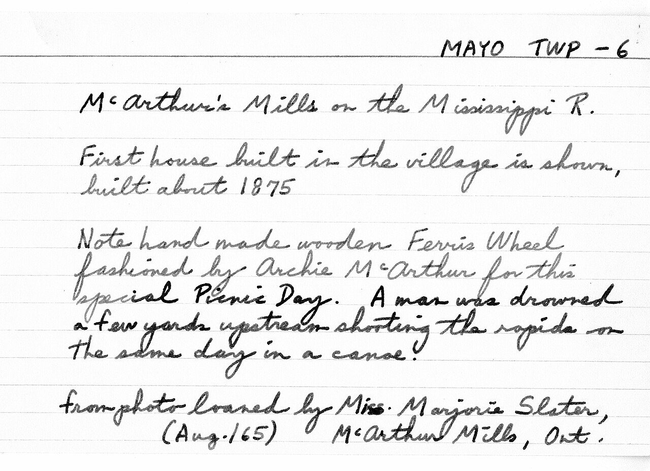 c. 1910
 c. 1910
Public domain or CC0, made before 1950, from Wikimedia Commons; old views of places can be drawings, prints or maps of their time. Each credit opens the image’s page.
4 places of the highest rank within 100 km of Carlow/Mayo
Between them, 5 towns share them, mainly Highlands East, North Frontenac and North Kawartha. The first one out is Wilberforce Red Cross Outpost, 46 km away in Highlands East. Count to 100 km and there are 5.
The 5 nearest, within 100 km
| Wilberforce Red Cross OutpostNational Historic Site · 1914–1917 · 46 km away, in Highlands East |
| Mazinaw PictographsNational Historic Site · 51 km away, in North Frontenac |
| Peterborough PetroglyphsNational Historic Site · 71 km away, in North Kawartha |
| Canadian Pacific Railway Station, Havelock, OntarioHeritage Railway Station · 1914–1930 · 87 km away, in Havelock |
| Fort WilliamClassified heritage site (Québec) · 1828 · 90 km away, in Petawawa |
A town of older homes: 25% of Carlow/Mayo’s were built before 1961 (18% is typical)
Half of the homes standing in Carlow/Mayo today were built before 2001. The busiest building years in Carlow/Mayo were from 1981 to 2000, which account for 27% of today’s homes. 23% of Carlow/Mayo’s homes were built from 2001 to 2015, more than the typical town’s 15%.
2021 Census, private dwellings by period of construction (Statistics Canada); the typical town is the middle Canadian town of 2,500 or more.
Carlow/Mayo and its neighbours
| Town | People | Places | Highest | Oldest |
|---|---|---|---|---|
| Carlow/Mayo | 1,048 | 0 | 0 | — |
| Hastings Highlands | 4,957 | 0 | 0 | — |
| Brudenell, Lyndoch and Raglan | 1,656 | 0 | 0 | — |
| Bancroft | 4,331 | 0 | 0 | — |
Carlow/Mayo in brief
Carlow/Mayo’s homes from before 1961 come to 25%, against 18% in the typical town.
What this data can and can’t tell you
- The grade. History isn’t one of Canada’s graded pillars, so this page describes and compares without a letter.
- Provincial and municipal lists. Outside Québec, provinces’ and municipalities’ heritage registers aren’t open data; their places are known only through Wikidata items with a register number, and only those with an encyclopedia article get a page.
- The tiers. National Historic Sites and the most protected buildings form the top tier; recognized federal buildings, stations and lighthouses the second; provincial and municipal listings the third.
- The federal register. Parks Canada’s Directory of Federal Heritage Designations lists every National Historic Site, federal heritage building, heritage railway station and lighthouse; the Canadian Register of Historic Places adds their statements in English and French.
- People and events. The open directory puts its national historic persons nowhere, so a town shows one only on firm ground: a birth there, matched by name and life years, or a historic place there named for the person whose record says so. Events are left out.
- Protection. Being on these registers doesn’t mean a building can’t change. Federal designation commemorates; protection is provincial or municipal, and those lists aren’t open here.
Questions about Carlow/Mayo’s history
How many historic places does Carlow/Mayo have on the registers?
Not within Carlow/Mayo. Its nearest is a top designation: Wilberforce Red Cross Outpost, 46 km away in Highlands East.
How old are the homes in Carlow/Mayo?
The 2021 Census dates 25% of its homes before 1961 (18% in the typical town).
Contains information licensed under the Open Government Licence – Canada (Parks Canada).
Sources: Parks Canada, Directory of Federal Heritage Designations · Canadian Register of Historic Places (federal extract) · Wikidata (CC0) for map points, other names and articles · Statistics Canada, 2021 Census (homes by period of construction). Under the Statistics Canada Open Licence.
Adapted from Statistics Canada (Census of Population 2021, population estimates 2025, 2021 census boundaries) under the Statistics Canada Open Licence; this does not constitute an endorsement by Statistics Canada. Neighbourhood names in some cities © OpenStreetMap contributors (ODbL).