 Top
National Historic SiteBloody FallsKugluk/Bloody Falls Territorial ParkPhoto: D. Gordon E. Robertson · CC BY-SA 3.0 · Commons file
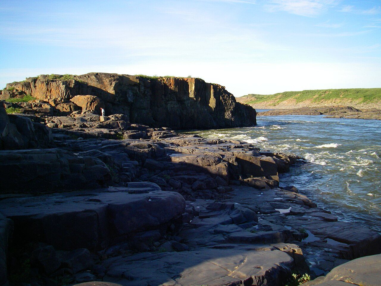 Bloody Falls · Photo: D. Gordon E. Robertson · CC BY-SA 3.0
1historic place on the registers
History of Kugluktuk · Canada’s heritage registers
Kugluktuk: 1 historic place, with the highest designation
Before 1961: just 6.2% of the homes, where most towns have 18%. The newest homes, 2016 to 2021, are 2.5% of the total, the typical town 4.1%.
Historic places
1
Highest designations
1
National Historic Sites and Classified Federal Heritage Buildings
Homes built before 1961
6.2%
typical town: 18%
The map
Where Kugluktuk’s history is
Every place on the registers inside the town, by its designation.
Highest designations
Hover a dot for its name; tap one to open its page.
The 1, by tier
1 Highest designations
Federal designations come from Parks Canada’s directory; a province’s or a council’s own listing shows here only when Wikidata holds it and an encyclopedia covers it.
Points from Wikidata (Parks Canada’s files carry none) and from Québec’s register, as mapped there.
Highest designations
One place in Kugluktuk with the highest designation
National Historic Sites and Classified Federal Heritage Buildings, Canada’s highest federal recognition. Each one opens its own page.
Homes by age
Kugluktuk’s building boom came from 1981 to 2000: 38% of its homes
More than half of Kugluktuk’s housing predates 2001. 28% of Kugluktuk’s homes were built from 2001 to 2015, more than the typical town’s 15%. Building from 1961 to 1980 gave Kugluktuk 24% of its homes, near the usual 27%.
6.2%
Before 1961
24%
1961–80
38%
1981–2000
28%
2001–15
2.5%
2016–21
KugluktukTypical town
2021 Census, private dwellings by period of construction (Statistics Canada); the typical town is the middle Canadian town of 2,500 or more.
In brief
Kugluktuk in brief
The registers count 1 historic place in Kugluktuk, one with the highest designation, Bloody Falls first. The census dates only 6.2% of its homes before 1961, against 18% in the typical town. The rest is about typical: its one place was designated in 1978.
How to read these numbers
What this data can and can’t tell you
- Provincial and municipal lists. The local and provincial lists outside Québec aren’t published openly, so this page counts what Wikidata records and pages only the places an encyclopedia describes.
- The grade. This page gives no grade; history doesn’t count toward a Canadian town’s letter.
- The tiers. The highest designations are National Historic Sites, Classified Federal Heritage Buildings and Québec’s classements; then come the other federal designations; then provincial and local listings.
- Protection. A National Historic Site designation recognises significance; it doesn’t by itself protect a building the federal government doesn’t own. Legal protection comes from provincial and municipal designations, whose own registers aren’t open data outside Québec.
- The federal register. Parks Canada’s Directory of Federal Heritage Designations lists every National Historic Site, federal heritage building, heritage railway station and lighthouse; the Canadian Register of Historic Places adds their statements in English and French.
- Map points. Where a federal place sits on the map is Wikidata’s placing; the directory itself has no coordinates.
- People and events. The open directory puts its national historic persons nowhere, so a town shows one only on firm ground: a birth there, matched by name and life years, or a historic place there named for the person whose record says so. Events are left out.
Questions about Kugluktuk’s history
Which places in Kugluktuk have the highest designation?
Bloody Falls.
How old are the homes in Kugluktuk?
Before 1961: 6.2% of its homes; the typical town has 18%.
Contains information licensed under the Open Government Licence – Canada (Parks Canada).
Sources: Parks Canada, Directory of Federal Heritage Designations · Canadian Register of Historic Places (federal extract) · Wikidata (CC0) for map points, other names and articles · Statistics Canada, 2021 Census (homes by period of construction). Under the Statistics Canada Open Licence.
Adapted from Statistics Canada (Census of Population 2021, population estimates 2025, 2021 census boundaries) under the Statistics Canada Open Licence; this does not constitute an endorsement by Statistics Canada. Neighbourhood names in some cities © OpenStreetMap contributors (ODbL).