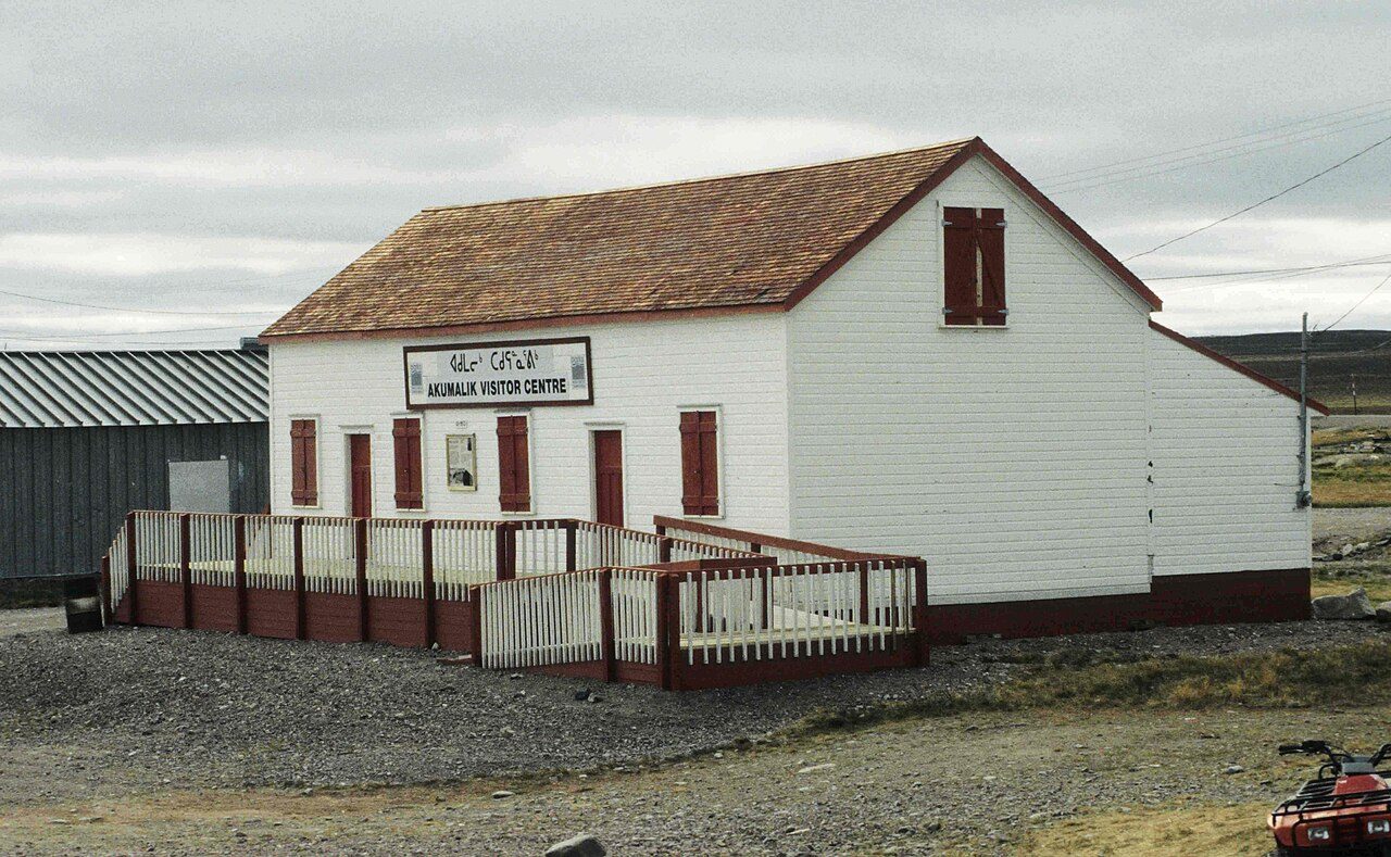
 Photo: Ansgar Walk · CC BY-SA 2.5
Baker Lake sits near the bottom of Canadian towns for winter warmth
Midsummer highs settle at about 17.5°C. Temperatures cover 52°C across the year, low to high. By precipitation alone, it ranks drier than almost every Canadian town. Homes need heating from September to June, the months averaging under 10°C.
Measured at Baker Lake, 3.3 km south-west: ECCC’s normals for 1991–2020.
A year in Baker Lake at a glance
Each month’s typical high and low, in °C.
What stands out about Baker Lake’s climate
Compared with Canadian towns, with its place among towns of 2,500+ in Nunavut beside it.
What a year in Baker Lake feels like
Typical highs and lows by season and by month, from ECCC’s 1991–2020 normals.
About 267 frosts and 15 warm days a year
The frost season runs September to June, and January freezes nearly every night. Deep cold, under −20°C, comes on about 156 nights a year.
Frost days by month
Average days at 0°C or below
Days above 20°C by month
Average days
About 258 mm of rain and snow a year
The most falls in August, the least in February. 4th wettest of 4 towns of 2,500+ in Nunavut. On about 55 days a year, 1 mm or more falls.
Rain and snow by month
Millimetres
Rain alone by month
Millimetres
113 cm of snow in a typical year
Snow falls from September to June, most of all in October (about 21 cm). 3rd snowiest of 4 towns of 2,500+ in Nunavut.
Snowfall by month
Centimetres
Snow on the ground by month
Centimetres at month’s end
Heating a home in Baker Lake
81% of a year’s heating need falls between October and April. Months averaging under 10°C: September to June.
A day averaging 10 degrees under 18°C adds 10 to the total; warm days add nothing. Homes here need more heating than almost every Canadian town.
Living with Baker Lake’s climate
What the normals mean for a garden, a day outside and the depth of winter.
No month here brings highs of 17–27°C together with nights of 8°C or more.
Parks & trails →Plan for about 193 days a year with a wind chill below −20.
Ice storms, floods and heat waves are risks, not averages: they are on Baker Lake’s hazards page.
Flood & hazards →ECCC’s normals location: Baker Lake
Baker Lake is a composite: ECCC joins 3 stations’ readings to make its 1991–2020 normals.
| Distance from the town | 3.3 km south-west |
| Station altitude | 19 m |
| Completeness | meets the WMO “3 and 5” rule |
| WMO standard normals | No |
| Coldest reading, 1991–2020 | −46.6°C |
| Hottest reading, 1991–2020 | 33.2°C |
| Average wind | 20.5 km/h on average, most often from the north-west |
| Next-nearest location | Rankin Inlet, 255 km |
How Baker Lake compares
Placed among 2,611 Canadian towns and neighbourhoods of 2,500+, each on its nearest normals location; each dot is another location used in Nunavut.
Baker Lake weather by month
Each month’s normals, 1991–2020: high, low, mean, precipitation and snowfall.
| Month | High | Low | Mean | Rain & snow | Snow |
|---|---|---|---|---|---|
| January | −27.0°C | −34.0°C | −30.5°C | 7 mm | 7 cm |
| February | −27.1°C | −34.2°C | −30.7°C | 6 mm | 8 cm |
| March | −21.8°C | −30.3°C | −26.1°C | 11 mm | 11 cm |
| April | −12.5°C | −21.5°C | −17.0°C | 13 mm | 14 cm |
| May | −2.6°C | −9.4°C | −6.0°C | 16 mm | 13 cm |
| June | 10.0°C | 1.0°C | 5.5°C | 22 mm | 2 cm |
| July | 17.5°C | 6.7°C | 12.1°C | 36 mm | 0 cm |
| August | 15.0°C | 5.9°C | 10.4°C | 49 mm | 0 cm |
| September | 6.8°C | 0.1°C | 3.4°C | 47 mm | 7 cm |
| October | −3.1°C | −9.0°C | −6.1°C | 25 mm | 21 cm |
| November | −14.6°C | −22.1°C | −18.4°C | 16 mm | 19 cm |
| December | −22.2°C | −29.5°C | −25.9°C | 12 mm | 12 cm |
| Year | −6.8°C | −14.7°C | −10.8°C | 258 mm | 113 cm |
January strays furthest from its normal year to year, by 3.3°C; August the least
Each bar spans a month’s coldest and warmest readings over thirty years; March’s run from −44.1°C in 2003 to 1.5°C in 1999.
Where Baker Lake’s numbers come from
Averages over 30 years, not a forecast.
- Normals: the closest ECCC location with twelve months of temperature normals, Baker Lake, 1991–2020.
- Comparisons: the 2,500-plus towns and neighbourhoods of Canada, each read from its closest normals location; whole cities and reserves aren’t counted.
- Not on this page: sunshine, which none of ECCC’s 450 locations publishes for 1991–2020, and the town’s own height above sea level, so no figure is adjusted for altitude.
Canadian Climate Normals 1991–2020 · ECCC Data Services End-use Licence. Data Source: Environment and Climate Change Canada
Questions about Baker Lake’s climate
How warm does Baker Lake get in summer?
Afternoons average 17.5°C in July, the warmest time of year.
How cold does Baker Lake get in winter?
Winter bottoms out in February, with lows near −34.2°C.
How much rain and snow does Baker Lake get?
Precipitation totals 258 mm a year, with August the wettest month (49 mm) and February the driest (6 mm).
How long does snow stay on the ground?
Expect snow on the ground, at least 1 cm, for about 250 days a year.
Are these figures for Baker Lake itself?
Yes, from ECCC’s station within Baker Lake’s boundary.
Data Source: Environment and Climate Change Canada · ECCC Data Services End-use Licence Today’s forecast for Baker Lake →
Adapted from Statistics Canada (Census of Population 2021, population estimates 2025, 2021 census boundaries) under the Statistics Canada Open Licence; this does not constitute an endorsement by Statistics Canada. Neighbourhood names in some cities © OpenStreetMap contributors (ODbL).