
 Top
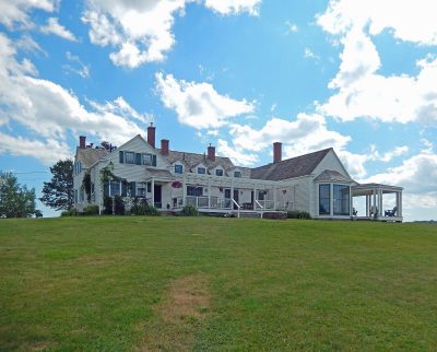
National Historic Site · 1800–1900Thinkers' Lodge247 Water StreetPhoto: Fralambert · CC BY-SA 4.0 · Commons file
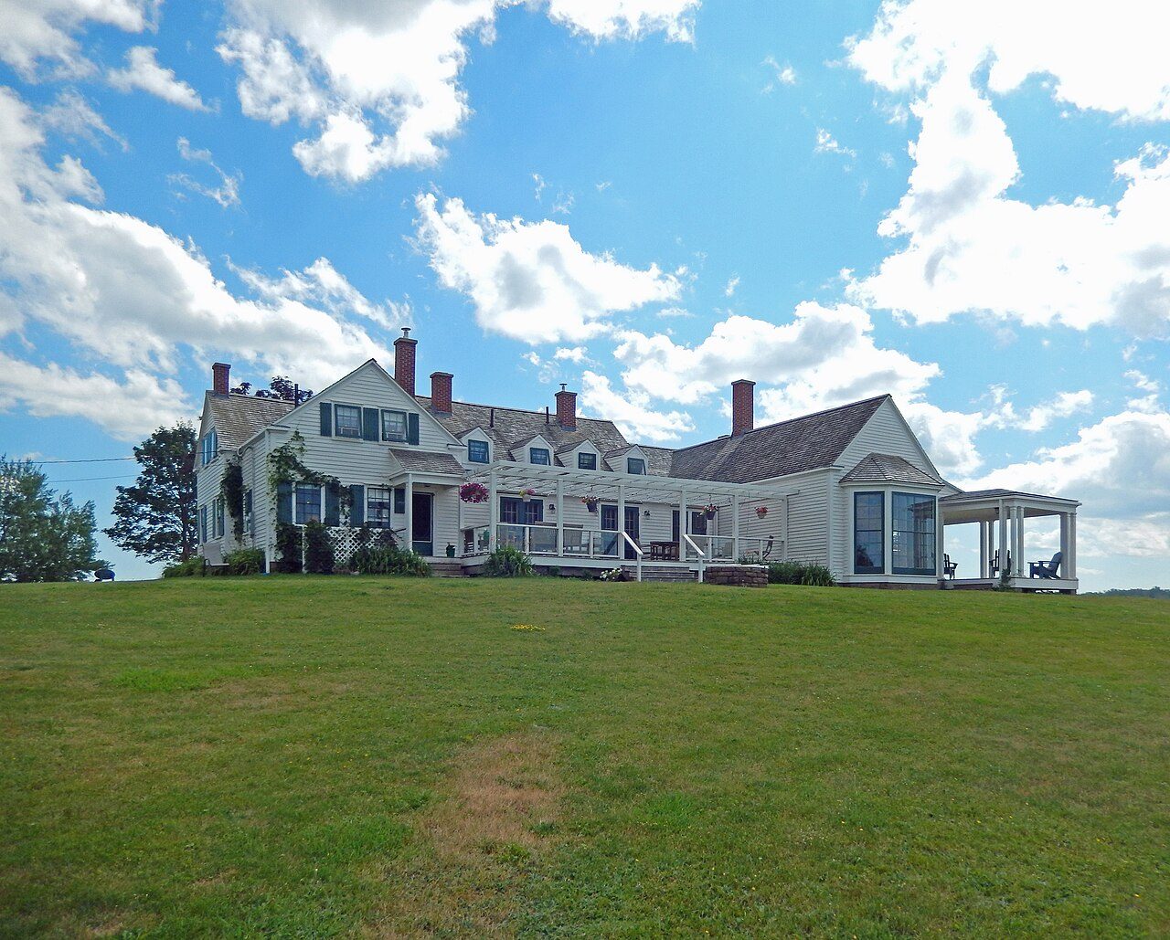 Thinkers' Lodge · Photo: Fralambert · CC BY-SA 4.0
3historic places on the registers
History of Cumberland County, Subdivision D · Canada’s heritage registers
Cumberland County, Subdivision D has 3 historic places on the registers, one in the top tier
Counted by designation, there are a provincial or municipal listing and a heritage lighthouse. For its size Cumberland County, Subdivision D is rich ground: 6.4 per 10,000 residents, ahead of 96% of Canadian towns. Older housing stands out: 35% of homes predate 1961, where the typical town has 18%. The oldest dated place, Thinkers' Lodge, goes back to 1800.
Historic places
3
6.4 per 10,000 residents
Highest designations
1
National Historic Sites and Classified Federal Heritage Buildings
Other federal designations
1
Recognized buildings, railway stations, lighthouses
Provincial and local listings
1
provincial and municipal listings with an encyclopedia article
Oldest building
1800
the first construction date on its record
Homes built before 1961
35%
typical town: 18%
In pictures
Cumberland County, Subdivision D in 3 photos and 1 old pictures
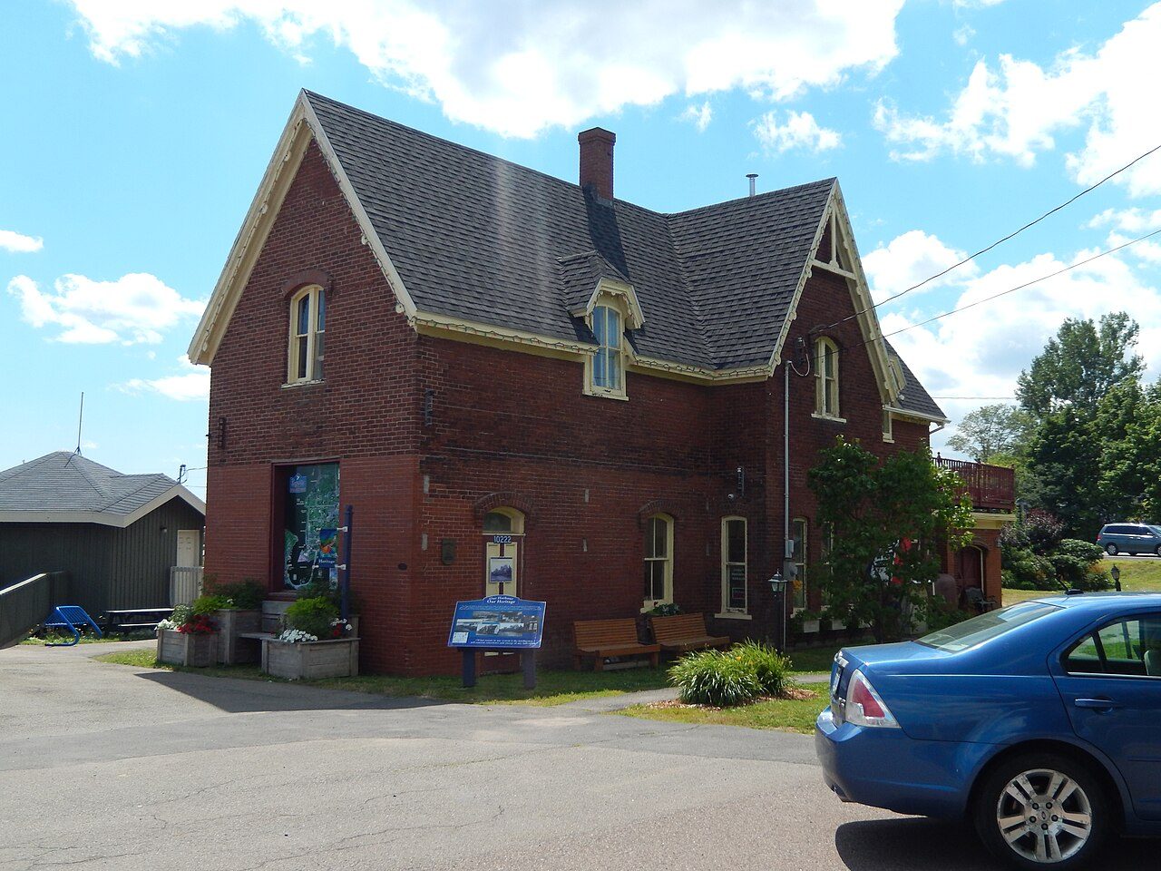
All of Cumberland County, Subdivision D’s designated places are pictured. The first two: Thinkers' Lodge and Pugwash railway station.
Photos from Wikimedia Commons, each credited to its photographer with its licence; names open the place’s page. Tap a photo to step through them full screen.
Through time
Looking back at Cumberland County, Subdivision D
The past in one picture: the oldest view of one of its historic places. Open it full screen with a tap.
 c. 1940
Public domain or CC0, made before 1950, from Wikimedia Commons; old views of places can be drawings, prints or maps of their time. Each credit opens the image’s page.
The map
Where Cumberland County, Subdivision D’s history is
Every place on the registers inside the town, by its designation.
Highest designationsOther federal designationsProvincial and local listings
Each dot is a place: point at it for the name, tap it for its page.
The 3, by tier
1 Highest designations1 Other federal designations1 Provincial and local listings
The federal directory kept by Parks Canada supplies most of these places; provincial and municipal lists outside Québec aren’t open data, so only the ones Wikidata documents with an article appear.
Points from Wikidata (Parks Canada’s files carry none) and from Québec’s register, as mapped there.
Highest designations
One place in Cumberland County, Subdivision D with the highest designation
National Historic Sites and Classified Federal Heritage Buildings, Canada’s highest federal recognition. Each one opens its own page.
Other federal designations
One other place Canada recognizes in Cumberland County, Subdivision D
Recognized Federal Heritage Buildings, heritage railway stations and lighthouses. Each one opens its own page.
 Fed
Heritage Lighthouse · 1904Wallace Harbour Sector LighthouseHighway 6Photo: Dennis G. Jarvis · CC BY-SA 2.0 · Commons file
Provincial and local listings
One more place Cumberland County, Subdivision D or its province protects
Provincial and municipal listings that Wikidata records and an encyclopedia describes. Each one opens its own page.
 Local
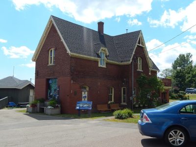
Municipally Registered Property · 1892Pugwash railway stationPhoto: Fralambert · CC BY-SA 4.0 · Commons file
Homes by age
New homes are rare in Cumberland County, Subdivision D: 2.5% from 2016–21, against a usual 4.1%
Half of the homes standing in Cumberland County, Subdivision D today were built before 1981. Building from 1961 to 1980 gave Cumberland County, Subdivision D 24% of its homes, near the usual 27%. In Cumberland County, Subdivision D, 23% of homes date from 1981 to 2000, much as in most towns (23%).
35%
Before 1961
24%
1961–80
23%
1981–2000
16%
2001–15
2.5%
2016–21
Cumberland County, Subdivision DTypical town
2021 Census, private dwellings by period of construction (Statistics Canada); the typical town is the middle Canadian town of 2,500 or more.
Born here
A national historic person among Cumberland County, Subdivision D’s people of the past
Simon Newcomb comes first, born in 1835. The widest known is Simon Newcomb: 47 Wikipedia editions. Longest lived was Norman MacKenzie, 92 years in all (1986). Norman MacKenzie closes the list, born in 1894.
Simon Newcomb
Joshua H. Livingstone
Charles Aubrey Eaton
George Patten MacKenzie
William R. Eaton
Norman MacKenzie
1800182518501875190019251950

Simon Newcomb1835–1909 · On Canada’s list since 1935 · American astronomer

Charles Aubrey Eaton1868–1953 · Reverend, journalist, U.S. congressman

William R. Eaton1877–1942 · American politician, Colorado
GM
George Patten MacKenzie1873–1954 · Canadian politician

Norman MacKenzie1894–1986 · Canadian politician
JL
Joshua H. Livingstone1847–1932 · Canadian politician from Nova Scotia
Everyone born in Cumberland County, Subdivision D → Born before 1914. Birthplaces from Wikidata, each checked against Wikipedia; national historic persons from Parks Canada’s Directory of Federal Heritage Designations, matched by name and life years.
Towns its size
Cumberland County, Subdivision D has the 3rd most of 16 towns its size
Towns of 4,700 to 4,700 residents, by places on the registers.
Cumberland County, Subdivision D3
Only Château-Richer and Battleford have more. The middle one has 0. 10 of them have nothing on the registers.
In brief
Cumberland County, Subdivision D in brief
Cumberland County, Subdivision D’s homes from before 1961 come to 35%, against 18% in the typical town. The count is 3 historic places, one with the highest designation, with Thinkers' Lodge first. Only 2 of the 16 towns nearest its size have more historic places. Simon Newcomb (1835), Charles Aubrey Eaton (1868) and William R. Eaton (1877) are the best known of its historic lives. The rest is about typical: the list grew between 2008 and 2015.
How to read these numbers
What this data can and can’t tell you
- Protection. National historic designation honours a place but binds only federal owners; a private building’s protection depends on its province or municipality.
- People and events. Persons of national historic significance come with no location; a town gets one only by birthplace (name and both life years agreeing) or by one of its own places that bears the name and whose record tells the story. Events, which can’t be tied, are left out.
- Provincial and municipal lists. The local and provincial lists outside Québec aren’t published openly, so this page counts what Wikidata records and pages only the places an encyclopedia describes.
- The tiers. Tiers follow the designation: national recognition and classement first, other federal designations next, provincial and local listings last.
- Map points. Pins for federal places come from Wikidata rather than Parks Canada, which gives no points.
- The grade. There is no history grade: the page sets out the record and compares it with other towns.
- The federal register. Federal places come from Parks Canada’s directory, which counts National Historic Sites, federal heritage buildings, stations and lighthouses; their statements are the register’s own.
Questions about Cumberland County, Subdivision D’s history
How old are the homes in Cumberland County, Subdivision D?
35% of its homes were built before 1961, against 18% in the typical Canadian town.
Which places in Cumberland County, Subdivision D have the highest designation?
Just one: Thinkers' Lodge.
What is the oldest building in Cumberland County, Subdivision D?
Thinkers' Lodge — its record dates it to 1800 (National Historic Site).
Why might a heritage building in Cumberland County, Subdivision D be missing here?
Its province’s and council’s own lists can’t be reused here; 11 further listings in Cumberland County, Subdivision D show up only as Wikidata numbers.
Contains information licensed under the Open Government Licence – Canada (Parks Canada).
Sources: Parks Canada, Directory of Federal Heritage Designations · Canadian Register of Historic Places (federal extract) · Wikidata (CC0) for map points, other names and articles · Statistics Canada, 2021 Census (homes by period of construction). Under the Statistics Canada Open Licence.
Adapted from Statistics Canada (Census of Population 2021, population estimates 2025, 2021 census boundaries) under the Statistics Canada Open Licence; this does not constitute an endorsement by Statistics Canada. Neighbourhood names in some cities © OpenStreetMap contributors (ODbL).