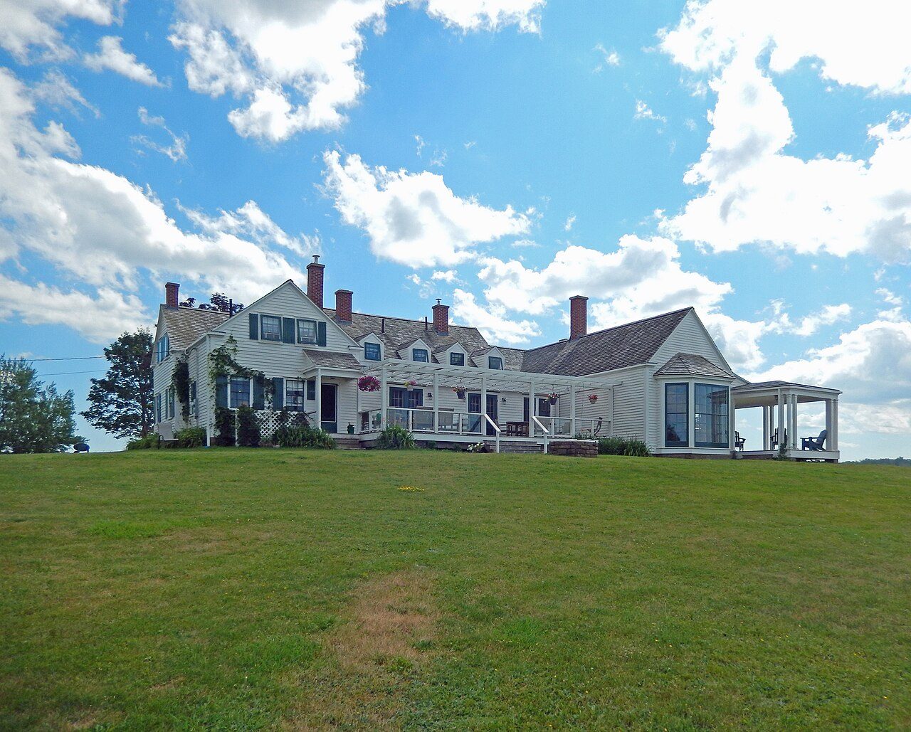
Thinkers' Lodge
Also known as Pinea Lodge, Eaton Lodge
247 Water Street, Cumberland County, Subdivision D
About Thinkers' Lodge
In Cumberland County, Subdivision D, Thinkers' Lodge is the National Historic Site. Thinkers' Lodge went up in 1800–1900.
Thinkers’ Lodge National Historic Site of Canada is located on a spacious property jutting out into Northumberland Strait in the small village of Pugwash, Nova Scotia. Thinkers’ Lodge is the birthplace of the Pugwash movement, a transnational organization for nuclear disarmament and world peace. In 1957, at the height of the Cold War, the first Pugwash Conference on Science and World Affairs took place here, at the summer home of a wealthy businessman, Cyrus Eaton. Official recognition refers to the main building on its property, as well as the staff house and dining hall.
From the Canadian Register of Historic Places, Thinkers' Lodge National Historic Site of Canada · Open Government Licence – Canada · the register’s own words, unchanged
The Historic Sites and Monuments Board recommends National Historic Sites; the designation marks national significance, not ownership.
Finding Thinkers' Lodge
Cumberland County, Subdivision D


Nothing else on the registers lies within an easy stroll of it.
Questions about Thinkers' Lodge
Can you visit Thinkers' Lodge?
Yes, most likely: it is recorded as a museum, though hours vary.
Is Thinkers' Lodge protected?
National Historic Site status commemorates; legal protection, where there is any, comes from the province or municipality, or from federal ownership.
What is Thinkers' Lodge?
Canada named Thinkers' Lodge a National Historic Site in 2008.
When was Thinkers' Lodge built?
The record of Thinkers' Lodge gives 1800–1900.
Contains information licensed under the Open Government Licence – Canada (Parks Canada).
Sources: Parks Canada, Directory of Federal Heritage Designations · Canadian Register of Historic Places (federal extract) · Photos: Wikimedia Commons, each credited with its licence and copied to our own server · Wikidata (CC0) for map points, other names and articles.
Adapted from Statistics Canada (Census of Population 2021, population estimates 2025, 2021 census boundaries) under the Statistics Canada Open Licence; this does not constitute an endorsement by Statistics Canada. Neighbourhood names in some cities © OpenStreetMap contributors (ODbL).