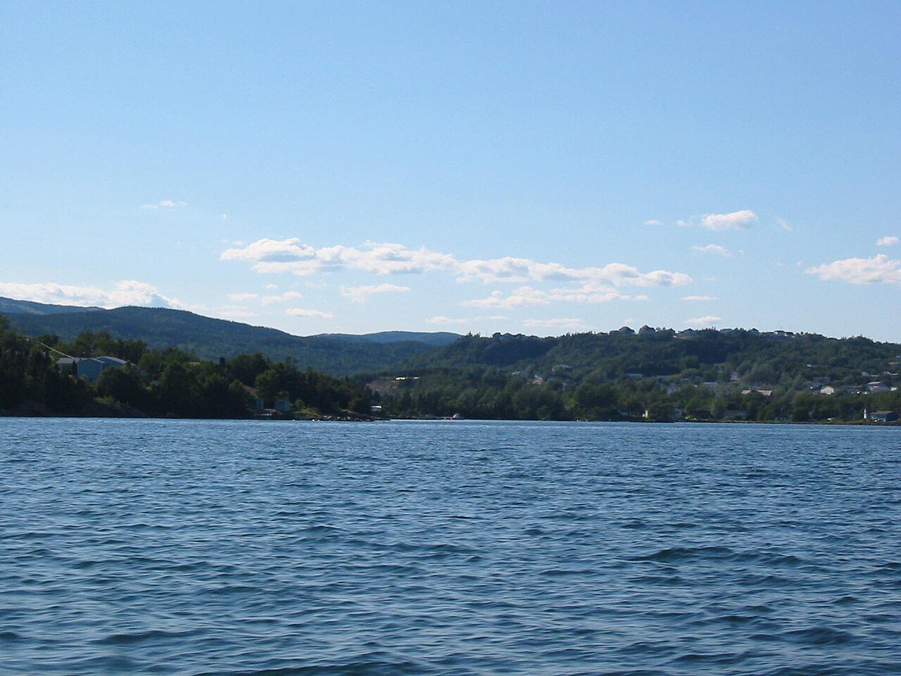
 Photo: Rioux Photography Edmonton, AB · Public domain
Up to 8 degrees in Clarenville tomorrow, periods of drizzle
Clarenville’s November pattern is steady: afternoons average 7°C, nights −1°C. Expect a chance of rain of 100% tomorrow, wind of 20 km/h, and a low of 3°C. The coming days top out somewhere between 3°C and 5°C; Tuesday looks warmest.
The next 24 hours in Clarenville
It runs from 2°C around 22:30 up to 8°C around 14:30. Rain or snow peaks in likelihood around 22:30, at 100%.
The week ahead, against a normal week
Cooler than normal most of the week. Tap a day for more.
Sat14 NovPeriods of drizzle60% chance3°8°normal
Saturday: Cloudy with 60 percent chance of drizzle or showers. Fog patches dissipating near noon. Wind becoming northwest 20 km/h gusting to 40 in the afternoon. High 8. UV index 1 or low.
Saturday night: Cloudy with 40 percent chance of drizzle or showers. Wind northwest 20 km/h gusting to 40. Low plus 3.
Sun15 NovCloudy60% chance2°4°−3°
Sunday: Cloudy. High plus 4.
Sunday night: Cloudy with 60 percent chance of showers. Low plus 2.
Mon16 NovChance of rain showers or flurries60% chance−2°3°−3°
Monday: Cloudy with 60 percent chance of rain showers or flurries. High plus 3.
Monday night: Cloudy periods. Low minus 2.
Tue17 NovA mix of sun and cloud1°5°normal
Tuesday: A mix of sun and cloud. High plus 5.
Tuesday night: Cloudy periods. Low plus 1.
Wed18 NovChance of rain showers or flurries40% chance1°4°−2°
Wednesday: Cloudy with 40 percent chance of rain showers or flurries. High plus 4.
Wednesday night: Cloudy with 40 percent chance of rain showers or flurries. Low plus 1.
Thu19 NovA mix of sun and cloud2°−4°
Thursday: A mix of sun and cloud. High plus 2.
What stands out about Clarenville’s weather
Where Clarenville’s 30-year normals sit among Canadian towns: tap a card for the Climate page.
Where today sits in Clarenville’s year
Typical highs and lows month by month, from the ECCC averages.
Warnings and more
Alerts come from Environment and Climate Change Canada; its warnings page is the place to check in bad weather.
Forecast, current conditions and alerts: Environment and Climate Change Canada’s city page for Clarenville, fetched 13 November, 21:54. Normals: ECCC 1991–2020, Lethbridge. Data Source: Environment and Climate Change Canada · ECCC Data Services End-use Licence
Adapted from Statistics Canada (Census of Population 2021, population estimates 2025, 2021 census boundaries) under the Statistics Canada Open Licence; this does not constitute an endorsement by Statistics Canada. Neighbourhood names in some cities © OpenStreetMap contributors (ODbL).