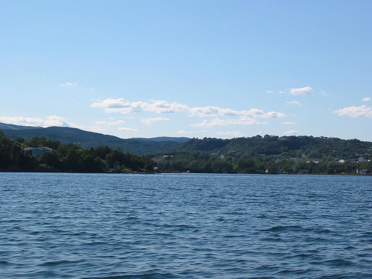
 Photo: Rioux Photography Edmonton, AB · Public domain
Hardly any Canadian towns see fresher July days than Clarenville
Midwinter brings lows of about −10.1°C. By precipitation alone, it ranks wetter than 92% of Canadian towns. The gap between a January night and a July afternoon is 33°C. For walks and days out, July and August bring highs of 23°C.
Clarenville has no ECCC normals station of its own: every figure here comes from Lethbridge, 21 km north.
A year in Clarenville at a glance
Each month’s typical high and low, in °C.
What stands out about Clarenville’s climate
Compared with Canadian towns, with its place among towns of 2,500+ in Newfoundland and Labrador beside it.
What a year in Clarenville feels like
Seasons and months as ECCC’s 1991–2020 normals give them: a typical day’s high and low.
About 178 frosts and 67 warm days a year
Frost comes from September to June; in January almost every night freezes. Some 7 nights a year drop under −20°C.
Frost days by month
Average days at 0°C or below
Days above 20°C by month
Average days
Rain and melted snow: about 1,260 mm a year
October is the wettest month and June the driest. Some 174 days a year see 1 mm of rain or snow or more.
Rain and snow by month
Millimetres
Rain alone by month
Millimetres
Snowfall: about 229 cm in a normal year
From October to May snow is likely; January is the peak, at about 58 cm. 28th snowiest of 31 towns of 2,500+ in Newfoundland and Labrador.
Snowfall by month
Centimetres
Snow on the ground by month
Centimetres at month’s end
Heating a home in Clarenville
83% of a year’s heating need falls between October and April. Months averaging under 10°C: October to May.
The total grows by a degree for every degree a day’s mean sits under 18°C.
Living with Clarenville’s climate
The averages read for the garden, the outdoors and the coldest and hottest days.
Count on about 78 frost-free days: the last frost averages 19 June, the first 6 September.
Highs of 17–27°C with nights of 8°C or more come in Jul and Aug.
Parks & trails →Severe weather is a separate story from the averages: see Clarenville’s hazards page.
Flood & hazards →ECCC’s normals location: Lethbridge
Lethbridge is one of the 450 places where ECCC publishes 1991–2020 normals.
| Distance from the town | 21 km north |
| Station altitude | 15 m |
| Completeness | meets the WMO “3 and 5” rule |
| WMO standard normals | No |
| Coldest reading, 1991–2020 | −31.0°C |
| Hottest reading, 1991–2020 | 34.0°C |
| Next-nearest location | Bonavista, 85 km |
How Clarenville compares
Compared with 2,611 towns and neighbourhoods of 2,500 or more across Canada; the dots mark the other normals locations in Newfoundland and Labrador.
Nearby towns’ climate
Places around Clarenville whose figures come from another normals location. Clarenville has few close neighbours with figures, so the list reaches 46–72 km out.
| Town | July high | January low | Rain & snow |
|---|---|---|---|
| Clarenville Lethbridge | 22.6°C | −10.1°C | 1,260 mm |
| Arnold's Cove 46 km · Dunville/Argentia | 17.4°C 5.2°C cooler | −5.6°C 4.5°C milder | 1,133 mm |
| Gambo 69 km · Gander | 21.8°C 0.8°C cooler | −10.4°C about the same | 1,247 mm |
| Division No. 1, Subdivision E 69 km · Whitbourne | 21.1°C 1.5°C cooler | −8.7°C 1.4°C milder | 1,748 mm |
| Victoria 72 km · St. John's (Airport) | 20.9°C 1.7°C cooler | −7.8°C 2.3°C milder | 1,539 mm |
Clarenville weather by month
Month by month, 1991–2020: the usual high, low and mean, the rain and snow, and the snowfall.
| Month | High | Low | Mean | Rain & snow | Snow |
|---|---|---|---|---|---|
| January | −0.9°C | −10.1°C | −5.5°C | 103 mm | 58 cm |
| February | −0.6°C | −10.1°C | −5.4°C | 102 mm | 56 cm |
| March | 2.2°C | −6.8°C | −2.3°C | 94 mm | 42 cm |
| April | 7.1°C | −1.6°C | 2.8°C | 98 mm | 20 cm |
| May | 12.8°C | 2.1°C | 7.5°C | 96 mm | 1 cm |
| June | 17.8°C | 6.2°C | 12.0°C | 86 mm | 0 cm |
| July | 22.6°C | 11.0°C | 16.9°C | 100 mm | 0 cm |
| August | 22.5°C | 11.6°C | 17.1°C | 98 mm | 0 cm |
| September | 18.0°C | 7.6°C | 12.8°C | 122 mm | 0 cm |
| October | 11.9°C | 3.4°C | 7.6°C | 129 mm | 2 cm |
| November | 6.5°C | −1.0°C | 2.8°C | 112 mm | 10 cm |
| December | 1.8°C | −5.4°C | −1.8°C | 121 mm | 41 cm |
| Year | 10.1°C | 0.6°C | 5.4°C | 1,260 mm | 229 cm |
In January, anything from −31.0°C to 16.0°C
Bars run from each month’s record low to its record high over 1991–2020; February is the month whose average wanders most from year to year (±2.5°C around −5.4°C), August the one that wanders least (±1.1°C).
Where Clarenville’s numbers come from
Averages over 30 years, not a forecast.
- Normals: ECCC’s normals for Lethbridge, 1991–2020, chosen as the nearest location with a full temperature record.
- Comparisons: Canadian towns and neighbourhoods of at least 2,500, each placed by its nearest location (city totals and reserves excluded).
- Not on this page: hours of sunshine, missing from the 1991–2020 normals, and a height correction: the town has no elevation on file.
Canadian Climate Normals 1991–2020 · ECCC Data Services End-use Licence. Data Source: Environment and Climate Change Canada
Questions about Clarenville’s climate
How warm does Clarenville get in summer?
Summer peaks in July: a typical afternoon reaches 22.6°C.
How cold does Clarenville get in winter?
On a normal January night the air drops to −10.1°C, the coldest of the year.
How much rain and snow does Clarenville get?
Over twelve months, rain and melted snow come to 1,260 mm; the range runs from 86 mm in June to 129 mm in October.
How long does snow stay on the ground?
Around 114 days a year see 1 cm of snow or more lying.
Are these figures for Clarenville itself?
They are the closest available: the normals for Lethbridge, since Clarenville has none.
Data Source: Environment and Climate Change Canada · ECCC Data Services End-use Licence Today’s forecast for Clarenville →
Adapted from Statistics Canada (Census of Population 2021, population estimates 2025, 2021 census boundaries) under the Statistics Canada Open Licence; this does not constitute an endorsement by Statistics Canada. Neighbourhood names in some cities © OpenStreetMap contributors (ODbL).