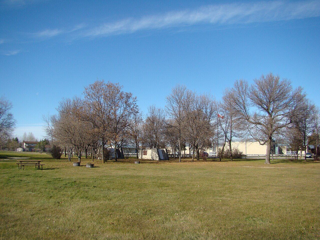
St. Andrew's Rectory
In French: Presbytère St. Andrew's
374 River Road and St. Andrew's Road, St. Andrews
About St. Andrew's Rectory
Canada counts St. Andrew's Rectory among St. Andrews’s 6 National Historic Sites. The register gives 1852–1855 for St. Andrew's Rectory. The register names Parks Canada as its architect. Within 400 m there are 2 more historic places.
St. Andrew’s Rectory National Historic Site of Canada is a large, two-storey, stone country home built initially as a residence for the Anglican priest of the parish. Originally constructed in 1851-54, it was rebuilt by Parks Canada in the 1980s. The rectory occupies a prominent hilltop location, close to St. Andrew’s Anglican Church National Historic Site of Canada and overlooking the Red River. The grounds of the rectory have been restored by Parks Canada to reflect the landscaping of the period between 1860 and 1870. The official designation refers to the building on its footprint, and includes the remaining original elements.
From the Canadian Register of Historic Places, St. Andrew's Rectory National Historic Site of Canada · Open Government Licence – Canada · as published, word for word
A National Historic Site is designated by the federal minister on the Historic Sites and Monuments Board’s advice.
Make it a walk: 2 historic places in about 5 minutes
St. Andrews · about 200 m on foot, as the crow flies


2 within 300 m
Every place on the record within this distance; each opens its own page.
Questions about St. Andrew's Rectory
Can you visit St. Andrew's Rectory?
Its exterior is visible from public ground; access inside is up to the owner.
Is St. Andrew's Rectory protected?
The designation recognizes its national significance; it doesn’t by itself protect a building the federal government doesn’t own. Provincial or municipal designation may.
What is St. Andrew's Rectory?
St. Andrew's Rectory is a National Historic Site of Canada, designated in 1962.
When was St. Andrew's Rectory built?
The record of St. Andrew's Rectory gives 1852–1855.
Contains information licensed under the Open Government Licence – Canada (Parks Canada).
Sources: Parks Canada, Directory of Federal Heritage Designations · Canadian Register of Historic Places (federal extract) · Photos: Wikimedia Commons, each credited with its licence and copied to our own server · Wikidata (CC0) for map points, other names and articles.
Adapted from Statistics Canada (Census of Population 2021, population estimates 2025, 2021 census boundaries) under the Statistics Canada Open Licence; this does not constitute an endorsement by Statistics Canada. Neighbourhood names in some cities © OpenStreetMap contributors (ODbL).