Lower Fort Garry
Highway 9, St. Andrews
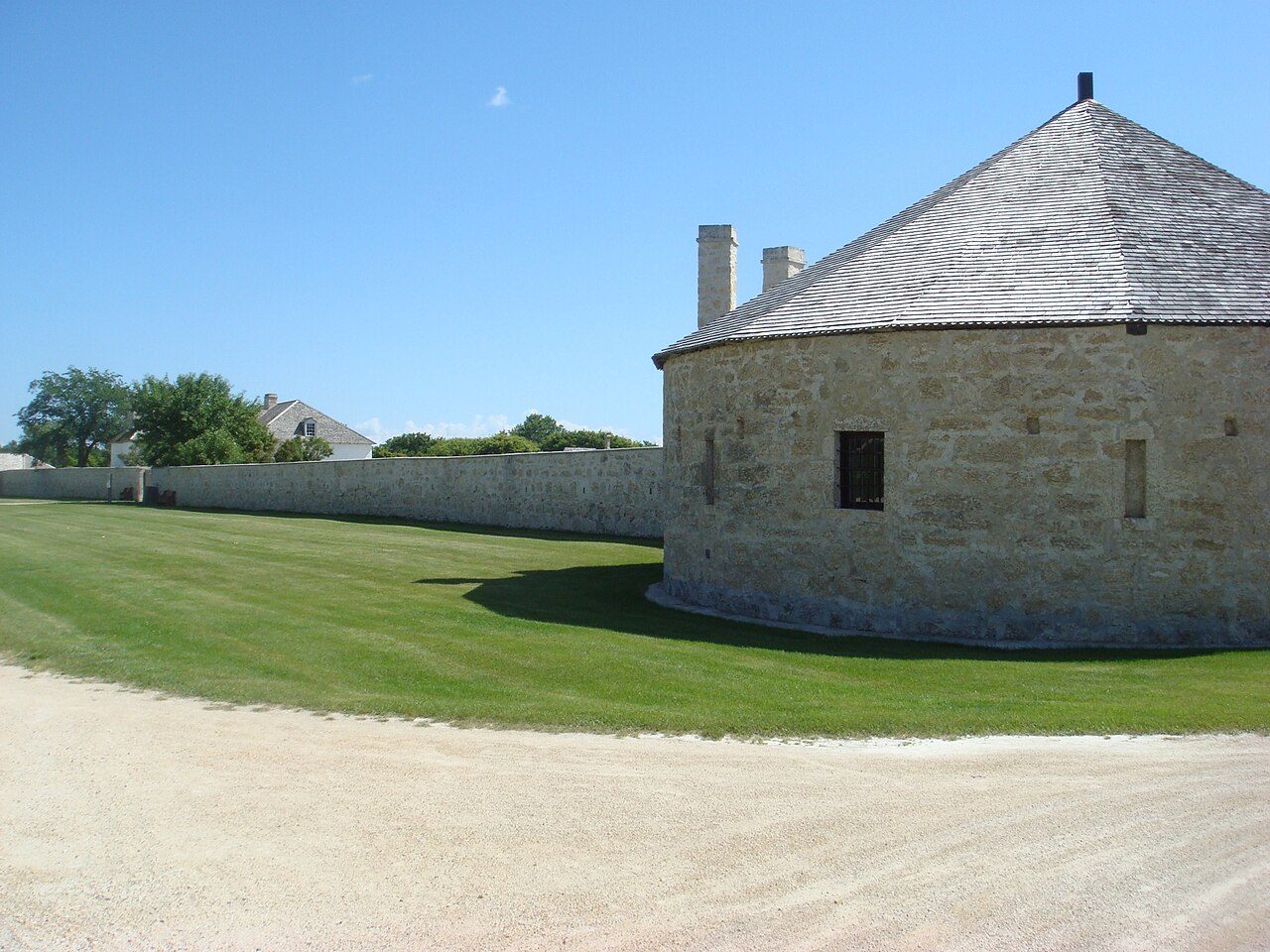
Lower Fort Garry, 1913 and today
Drag across to compare. The two views aren’t taken from exactly the same spot.
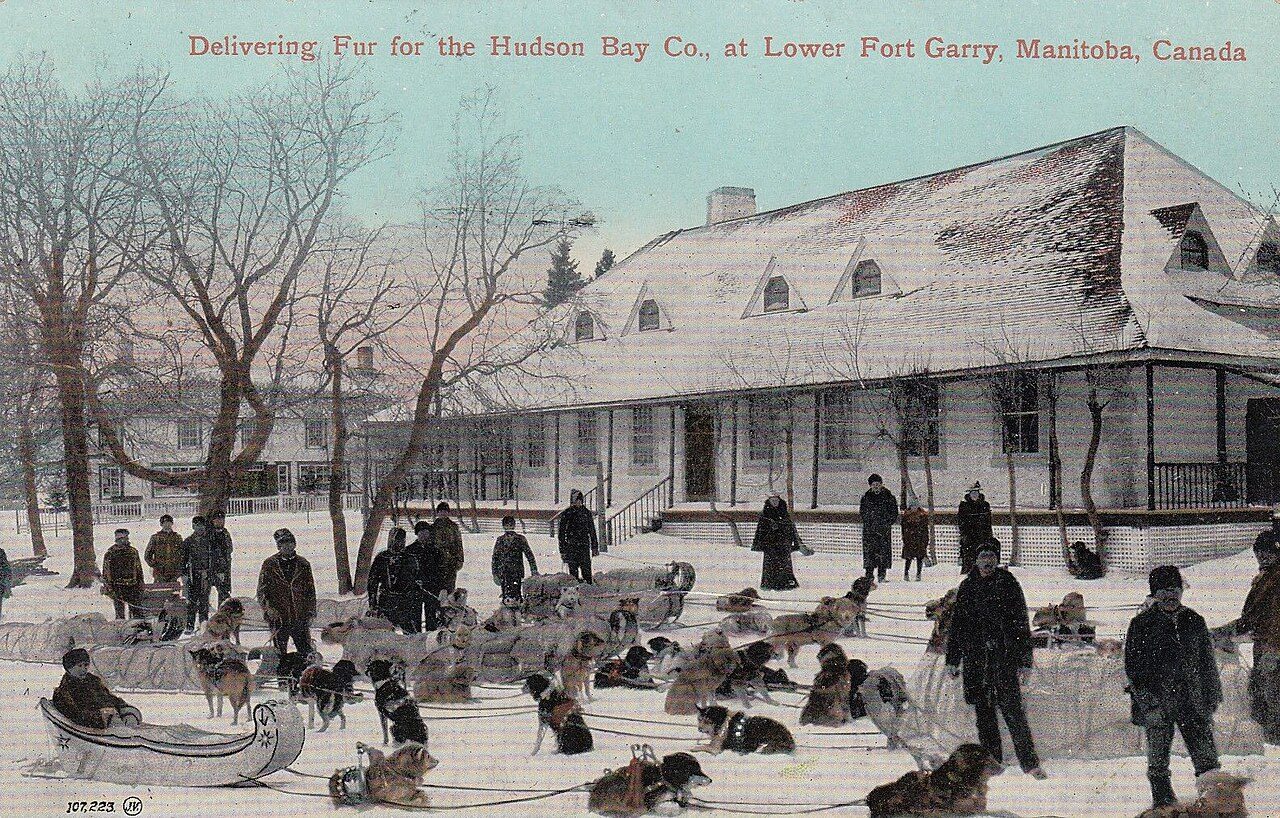
1913: Public domain. Today: Photo: Vintotal · Public domain.
About Lower Fort Garry
In St. Andrews, Lower Fort Garry is one of 6 National Historic Sites. Lower Fort Garry went up in 1830–1851.
Lower Fort Garry National Historic Site of Canada is a former fur trade post, once the most extensive in western Canada. Situated near Winnipeg, Manitoba, 30 km. upstream from the junction of the Assiniboine and Red Rivers, this 85-acre site encompasses a four-acre Hudson’s Bay Company fort comprised of several buildings within a stone wall, a number of restored and reconstructed buildings outside the walls, as well as a portion of the camping sites of over 2,000 Ojibway and Swampy Cree people who attended the signing of Treaty 1. The designation refers to this cultural landscape in its entirety. It is now operated by Parks Canada as a historic site open for public visitation.
From the Canadian Register of Historic Places, Lower Fort Garry National Historic Site of Canada · Open Government Licence – Canada · quoted as the register has it
National Historic Sites are places the Minister of Environment designates, on the advice of the Historic Sites and Monuments Board, for their national significance.
1 old view of Lower Fort Garry
Made before 1950, from 1913: public domain or CC0. Tap one to see it full screen.
1913From Wikimedia Commons, copied to our own server; some are drawings, prints or maps of their time. Each credit is in the viewer.
Finding Lower Fort Garry
St. Andrews


It stands apart from the town’s other historic places.
Questions about Lower Fort Garry
When was Lower Fort Garry built?
The register dates the construction of Lower Fort Garry to 1830–1851.
Can you visit Lower Fort Garry?
You can see it from the street, while entry depends on its current use.
What is Lower Fort Garry?
Lower Fort Garry has been a National Historic Site of Canada since 1950.
Is Lower Fort Garry protected?
The designation recognizes its national significance; it doesn’t by itself protect a building the federal government doesn’t own. Provincial or municipal designation may.
Contains information licensed under the Open Government Licence – Canada (Parks Canada).
Sources: Parks Canada, Directory of Federal Heritage Designations · Canadian Register of Historic Places (federal extract) · Photos: Wikimedia Commons, each credited with its licence and copied to our own server · Wikidata (CC0) for map points, other names and articles.
Adapted from Statistics Canada (Census of Population 2021, population estimates 2025, 2021 census boundaries) under the Statistics Canada Open Licence; this does not constitute an endorsement by Statistics Canada. Neighbourhood names in some cities © OpenStreetMap contributors (ODbL).