Britannia Shipyard
In French: Chantier naval Britannia
5180 Westwater Drive, Richmond
About Britannia Shipyard
In Richmond, Britannia Shipyard is one of 2 National Historic Sites. Britannia Shipyard went up in 1890–1956.
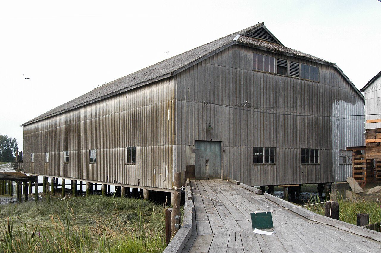
The Britannia Shipyard Property National Historic Site of Canada is a historic park located along the south arm of the Fraser River in Richmond, British Columbia. The site relates to the area's long involvement with the salmon fishery. Built out over the water, the shipyard is part of Steveston's historic "Cannery Row" extending from Garry Point and the Gulf of Georgia Cannery National Historic Site of Canada on the west end to London Heritage Farm in the east. The designation refers to the 3.3-hectare site located along the Steveston Channel of the Fraser River. The historic park includes several wooden structures used for cannery and boat-building purposes between 1890 and the mid 1950s which are not included in the official recognition.
From the Canadian Register of Historic Places, Britannia Shipyard National Historic Site of Canada · Open Government Licence – Canada · in the register’s words, not edited
National Historic Site status comes on the advice of the Historic Sites and Monuments Board of Canada.
Finding Britannia Shipyard
Richmond


It is a stop on its own: the next historic place is a longer trip.
Questions about Britannia Shipyard
Is Britannia Shipyard protected?
National Historic Site status commemorates; legal protection, where there is any, comes from the province or municipality, or from federal ownership.
What is Britannia Shipyard?
Britannia Shipyard is a National Historic Site of Canada, designated in 1991.
When was Britannia Shipyard built?
Britannia Shipyard went up in 1890–1956, by its record.
Can you visit Britannia Shipyard?
The outside is easy to see; inside, it depends on the owner’s rules.
Contains information licensed under the Open Government Licence – Canada (Parks Canada).
Sources: Parks Canada, Directory of Federal Heritage Designations · Canadian Register of Historic Places (federal extract) · Photos: Wikimedia Commons, each credited with its licence and copied to our own server · Wikidata (CC0) for map points, other names and articles.
Adapted from Statistics Canada (Census of Population 2021, population estimates 2025, 2021 census boundaries) under the Statistics Canada Open Licence; this does not constitute an endorsement by Statistics Canada. Neighbourhood names in some cities © OpenStreetMap contributors (ODbL).