 Photo: Murray Foubister · CC BY-SA 2.0
4 old photographs of Golden, 1902 to 1918
The registers count 8 places within 50 km of Golden; the closest, Glacier Circle Alpine Hut, is 33 km away. For the highest designations, the closest town is Electoral Area A, Columbia-Shuswap, 4.5 km off. Wikidata’s date for the municipality is 1957; it may record a founding, an incorporation or an amalgamation.
The past of Golden, 1902 to 1918
Oldest first: 4 old photographs of the town. The dots mark each picture’s year; tap one to enlarge it.
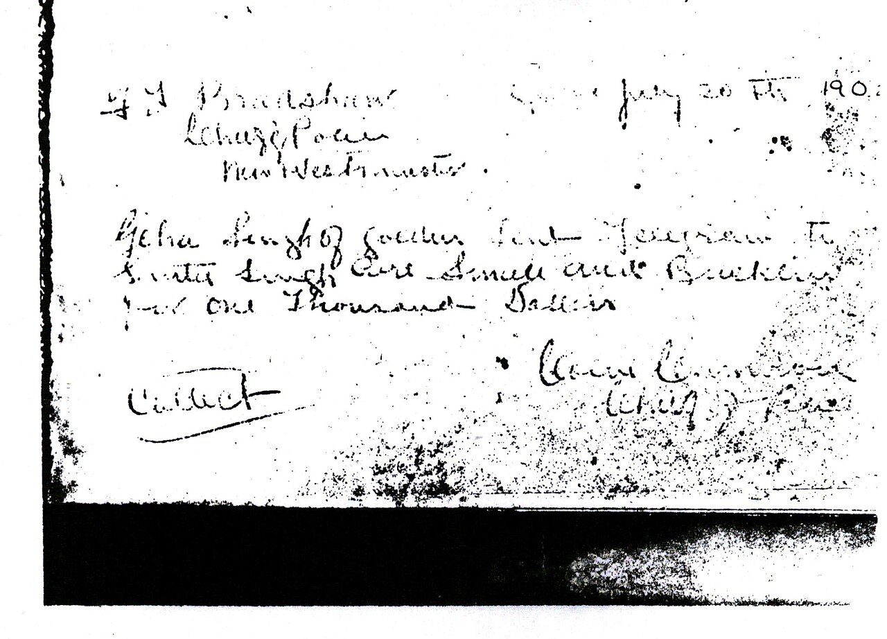 c. 1902
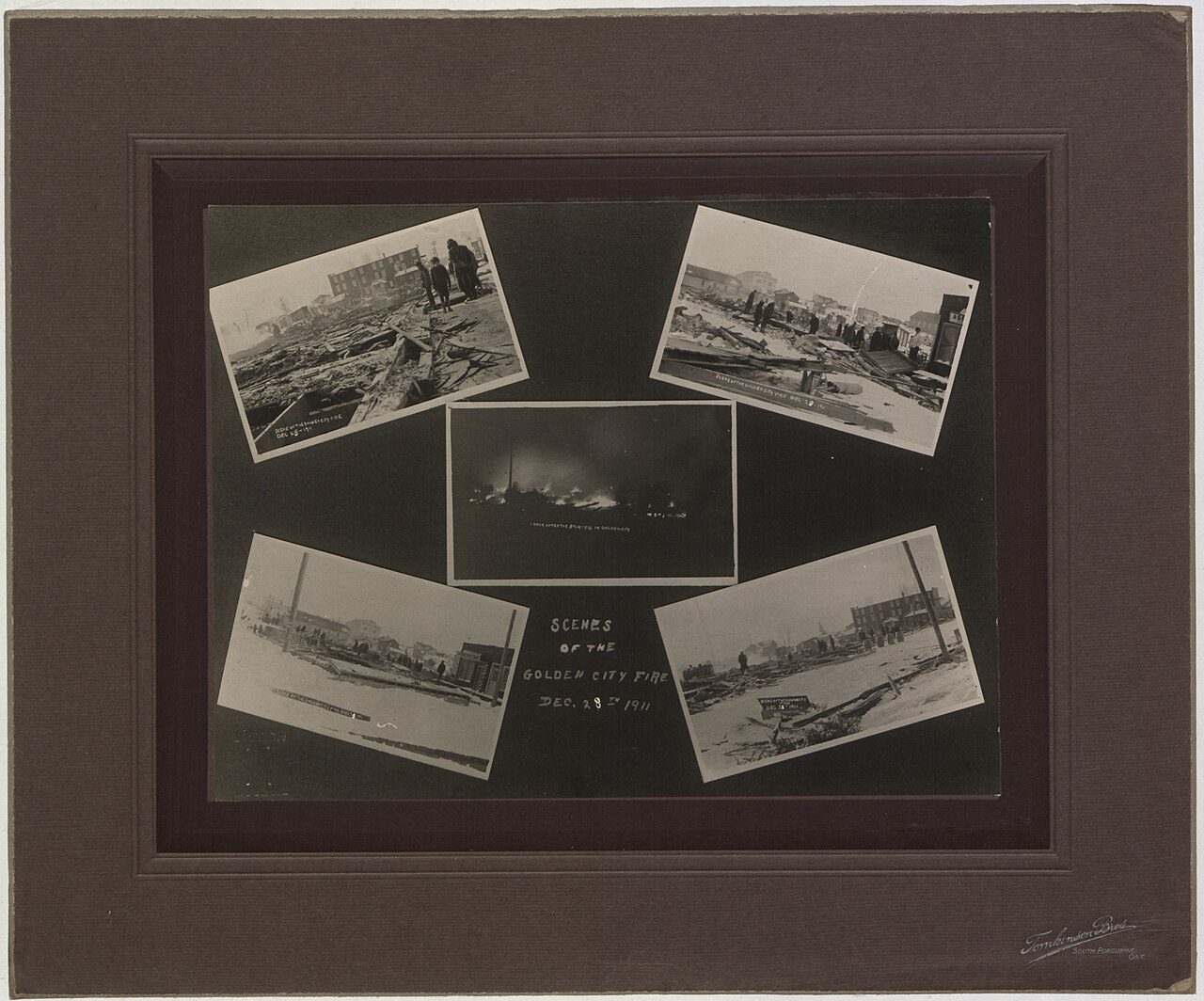 c. 1912
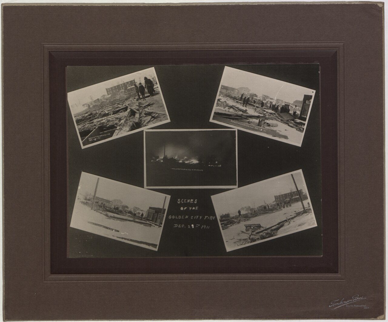 c. 1912
 c. 1918
Public domain or CC0, made before 1950, from Wikimedia Commons; old views of places can be drawings, prints or maps of their time. Each credit opens the image’s page.
Near Golden, within 50 km: built places from 1881 on
The nearest historic places to Golden, out to 50 km, by the first construction date on each record.
Within 50 km, 8 records give a date. Rogers Pass, in Electoral Area A, Columbia-Shuswap, goes back furthest, to 1881.
Top-ranked heritage near Golden: 3 places within 50 km
Within 50 km there are 8 in all. The nearest is Glacier Circle Alpine Hut, 33 km away in Electoral Area A, Columbia-Shuswap. Among them are 3 Recognized Federal Heritage Buildings, 3 National Historic Sites and 2 heritage railway stations.
The 8 nearest, within 50 km
| Glacier Circle Alpine HutRecognized Federal Heritage Building · 1922–1923 · 33 km away, in Electoral Area A, Columbia-Shuswap |
| Canadian Pacific Railway Station, Field, British ColumbiaHeritage Railway Station · 1953–1955 · 35 km away, in Electoral Area A, Columbia-Shuswap |
| Arthur O. Wheeler HutRecognized Federal Heritage Building · 1945–1947 · 37 km away, in Electoral Area A, Columbia-Shuswap |
| Rogers PassNational Historic Site · 1881–1918 · 39 km away, in Electoral Area A, Columbia-Shuswap |
| Canadian Pacific Railway Station, Glacier, British ColumbiaHeritage Railway Station · 1916–1917 · 39 km away, in Electoral Area A, Columbia-Shuswap |
| Twin Falls Tea HouseNational Historic Site · 1908–1929 · 41 km away, in Electoral Area A, Columbia-Shuswap |
| Elizabeth Parker HutRecognized Federal Heritage Building · 1919–1920 · 44 km away, in Electoral Area A, Columbia-Shuswap |
| Abbot Pass Refuge CabinNational Historic Site · 1922–1923 · 48 km away, in Electoral Area A, Columbia-Shuswap |
Few of Golden’s homes are older than 1961: 10%, against 18%
Golden’s largest group of homes, 46%, went up from 1961 to 1980. Few of Golden’s homes date from 2001 to 2015: 9.5%, the norm 15%. 30% of Golden’s homes date from 1981 to 2000, well above the typical 23%.
2021 Census, private dwellings by period of construction (Statistics Canada); the typical town is the middle Canadian town of 2,500 or more.
How Golden compares with 16 towns its size
Towns of 4,400 to 4,500 residents, by places on the registers.
Just these have more: Geraldton, Minnetonka and Vulcan County. The typical town its size has 0. For 13, the registers list nothing.
Golden and its neighbours
| Town | People | Places | Highest | Oldest |
|---|---|---|---|---|
| Golden | 4,433 | 0 | 0 | — |
| Electoral Area A, Columbia-Shuswap | 3,672 | 10 | 5 | 1806 |
Golden in brief
The census dates only 10% of its homes before 1961, against 18% in the typical town. Most towns its size have more historic places: the typical one has 0.
What this data can and can’t tell you
- The federal register. Every federal designation is in Parks Canada’s directory, and the Canadian Register of Historic Places gives most of them a bilingual statement of significance.
- The tiers. Three tiers: the top for National Historic Sites, classified federal buildings and Québec’s classements, a second for the other federal designations, a third for provincial and municipal listings.
- Provincial and municipal lists. Provincial and municipal listings here come from Wikidata alone, since the provinces’ own registers can’t be reused; a listing needs an encyclopedia article to get a page.
- The grade. History is described, not graded, for every Canadian town.
- Protection. National historic designation honours a place but binds only federal owners; a private building’s protection depends on its province or municipality.
- People and events. Parks Canada’s open file gives its national historic persons no place. A town’s page names one only when the person was born there (matched by name and both life years) or one of its own historic places carries the name and its record speaks of them; national historic events stay off.
Questions about Golden’s history
How many historic places does Golden have on the registers?
None within Golden itself; the nearest is 33 km off: Glacier Circle Alpine Hut, in Electoral Area A, Columbia-Shuswap.
When did Golden become a municipality?
The date Wikidata holds for Golden is 1957, whether founding, incorporation or merger.
How old are the homes in Golden?
The 2021 Census dates 10% of its homes before 1961 (18% in the typical town).
Contains information licensed under the Open Government Licence – Canada (Parks Canada).
Sources: Parks Canada, Directory of Federal Heritage Designations · Canadian Register of Historic Places (federal extract) · Wikidata (CC0) for map points, other names and articles · Statistics Canada, 2021 Census (homes by period of construction). Under the Statistics Canada Open Licence.
Adapted from Statistics Canada (Census of Population 2021, population estimates 2025, 2021 census boundaries) under the Statistics Canada Open Licence; this does not constitute an endorsement by Statistics Canada. Neighbourhood names in some cities © OpenStreetMap contributors (ODbL).