170 years in pictures
The archive holds 6 old photos and papers going back to 2006.
7 places on the National Register of Historic Places.
- 1856Walnut Grove is settled
Each edition grades its towns against each other only.

Walnut Grove’s average commute is 34 minutes, above both the California town median (28 minutes) and the median of U.S. towns (25 minutes). Its National Register listings include Locke Historic District and Walnut Grove Japanese-American Historic District. Walnut Grove has fewer than 1,000 residents, too few for fair grades; the figures below are still real.
Where Walnut Grove beats most towns.
In a town this size, neighbors are the best guide. Ask them anything.
The archive holds 6 old photos and papers going back to 2006.
7 places on the National Register of Historic Places.
Walnut Grove is unincorporated, so Sacramento County and regional agencies provide most services.
EPA SDWIS (Oct 9, 2026) · HIFLD + EIA-861 2025 · Census 2020 ZCTAs · NCES 2024–25 · registration: vote.gov, updated Nov 18, 2024.
Ordered by what stands out in Walnut Grove.
A bachelor’s degree or higher: 40% of adults 25 and older, vs 37% across California. Adults 35 to 64 are 26% of residents (39% statewide); people 65 and older are 24% of residents (16% statewide).
| Walnut Grove | California towns | U.S. towns | |
|---|---|---|---|
| Bachelor’s degree or more, 25+ | 40% | 29% | 29% |
| Median age | 40.1 years | 39 years | 40.5 years |
Somewhere between 22% and 67% women
The Census survey reached too few of Walnut Grove’s residents to say more: its margin here is ±22.5 points. Across California, 50.1% of residents are women.
| Walnut Grove | CA | U.S. | |
|---|---|---|---|
| Under 10 | 11% | 11.4% | 11.6% |
| 10 to 17 | 15.6% | 10.5% | 10.3% |
| 18 to 24 | 7.9% | 9.1% | 9.1% |
| 25 to 34 | 15.4% | 14.8% | 13.7% |
| 35 to 44 | 4.9% | 13.9% | 13.2% |
| 45 to 54 | 8.7% | 12.5% | 12.2% |
| 55 to 64 | 12.2% | 12.1% | 12.7% |
| 65 to 74 | 21.1% | 9.2% | 10.2% |
| 75 and older | 3.2% | 6.5% | 7% |
| No diploma | 10.2% | 15.3% | 10.4% |
| High school | 15% | 20.5% | 26% |
| Some college | 16.5% | 19.3% | 19.1% |
| Associate’s | 18.1% | 7.9% | 8.8% |
| Bachelor’s | 34.4% | 22.7% | 21.6% |
| Graduate | 5.8% | 14.4% | 14.1% |
U.S. Census Bureau · ACS 2020-2024 5-year estimates · in a town of 900, single groups can be off by several points
Its public schools are run by the River Delta Joint Unified school district. Walnut Grove’s only public school teaches 131 students.
| School | Level | Students | Letter |
|---|---|---|---|
| Walnut Grove ElementaryLargest public elementary schoolGrades K–6 | Grades K–6 | 131 | – |
NCES · EDFacts
45% of Walnut Grove households are owner-occupiers. Home values are up 2.5% over the year to September 2026. The going rate for rent for Walnut Grove comes to $1,471 a month.
| Walnut Grove | California towns | U.S. towns | |
|---|---|---|---|
| Households that own their home | 45% | 64% | 73% |
| Median rent | $1,471 a month | $1,896 a month | $1,185 a month |
Census ACS, 2020–24 · Zillow Home Value Index · Redfin Data Center
For Walnut Grove, the risk rating from FEMA is 69 of 100. Since 1980, 60 flood insurance claims have been paid out locally. FEMA puts nearly two thirds of the town’s expected hazard losses down to drought, and 25% to earthquakes. Federal disaster aid has reached households in Walnut Grove after 2 declared disasters, most recently in 2022.
FEMA flood insurance claims · FEMA disaster declarations and aid · FEMA National Risk Index · OpenFEMA
The typical July afternoon high in Walnut Grove is 92°F.
NOAA U.S. Climate Normals, 1991–2020
Walnut Grove had 372 jobs in 2023, down 69 from 2013. Most people who work leave Walnut Grove to do it: just 6% work in town. 18% of residents live below the poverty line locally. The top destinations are Sacramento (17%), Stockton (4%) and Elk Grove (4%).
| Walnut Grove | California towns | U.S. towns | |
|---|---|---|---|
| Below the poverty line | 18% | 10% | 9.6% |
| Median household income | $79,000 | $95,000 | $80,000 |
Census LEHD 2023 · ACS
The share of adults in Walnut Grove who sleep under 7 hours: 37%. Of 32 CDC measures, Walnut Grove beats the California average on 2 and trails it on 8. Two figures for adults locally: 72% had a checkup this year, 37% feel lonely.
| Walnut Grove | California towns | U.S. towns | |
|---|---|---|---|
| Binge drink (CDC PLACES) | 13% | 16% | 16% |
| Yearly checkup (CDC PLACES) | 72% | 72% | 79% |
| Feel lonely (CDC PLACES) | 37% | 36% | 33% |
| Fair or poor health (CDC PLACES) | 25% | 22% | 19% |
| What stands out | Walnut Grove | CA |
|---|---|---|
| More adults screened for colon cancer | 62.5% | 57.5% |
| More adults treating high blood pressure | 75.3% | 71.3% |
| More adults with COPD | 6.9% | 5.1% |
CDC PLACES 2025 · modeled estimates for adults · CMS · HRSA
Delta Meadows, at 421 acres with 2.9 miles of trail, is the biggest park or preserve. In 2 parks and preserves, walkers have 9.6 miles of trail. Walnut Grove’s trail network density is 0.9 miles per square mile.
| Walnut Grove | California towns | U.S. towns | |
|---|---|---|---|
| Conserved land | 8.3% | 4.3% | 4.3% |
| Miles of trail per square mile | 0.9 miles per square mile | 1.0 | 0.4 |
| Biggest places to walk | Trails | Acres |
|---|---|---|
| 1. Delta Meadows | 2.9 mi | 421 |
| 2. Dr. Paul Barnes Community Park | — | 1 |
Trails & parks © OpenStreetMap contributors · Conserved land: USGS PAD-US
Museums, parks, gardens and other places to visit around Walnut Grove. Close and well known come first.
33 mi MountainMount Diablo
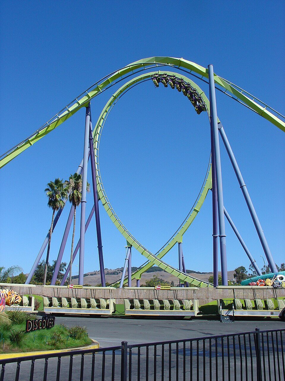
39 mi Theme parkSix Flags Discovery Kingdom
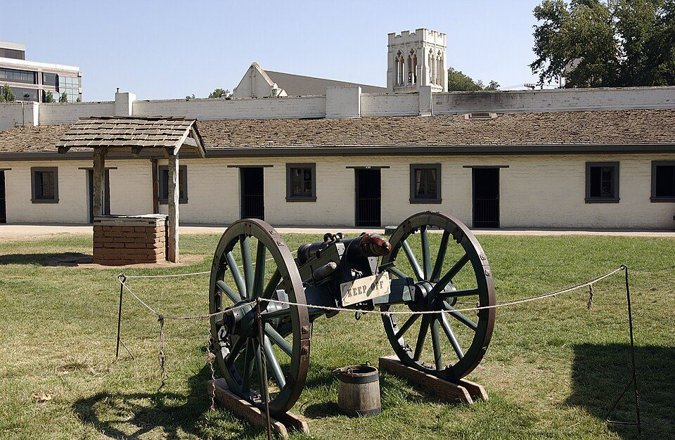
22 mi State parkSutter's Fort
27 mi Stadium & arenaARCO Arena
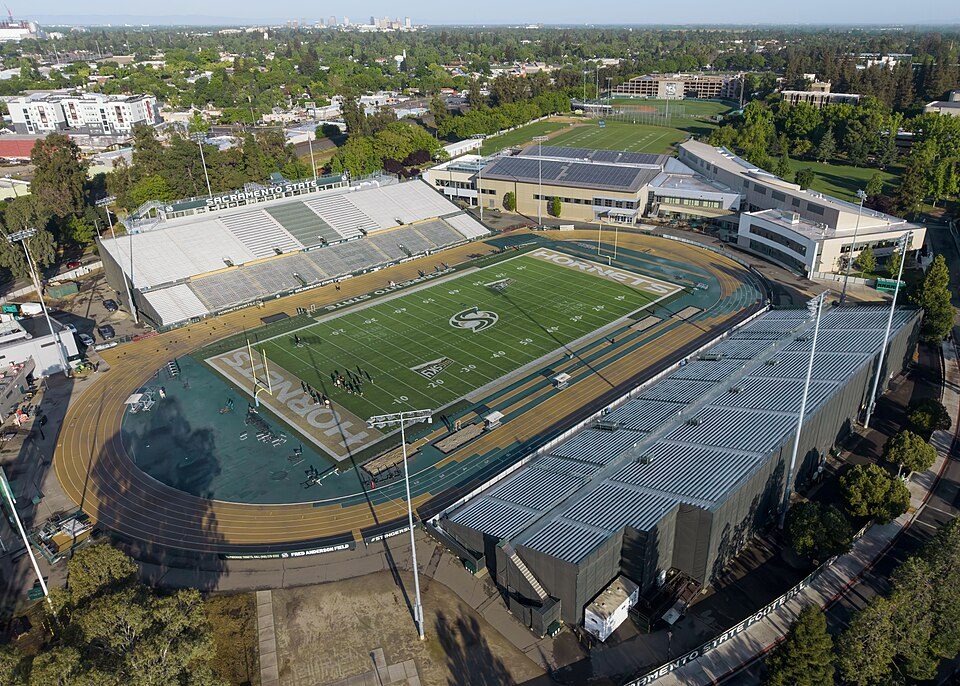
22 mi Stadium & arenaHornet Stadium
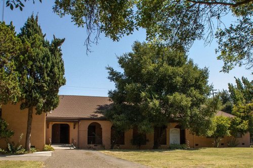
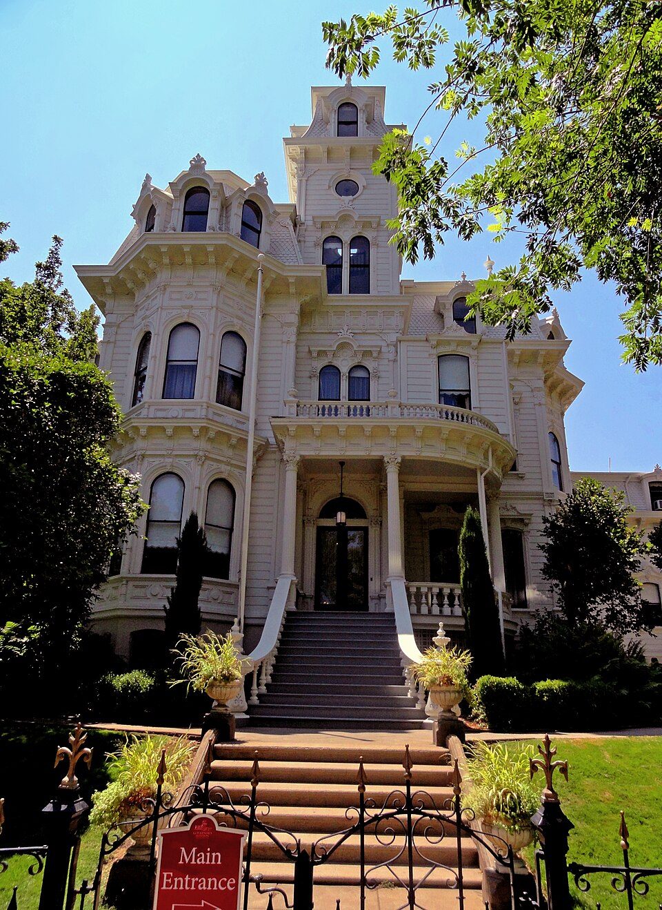
23 mi State parkGovernor's Mansion State Historic ParkMount Diablo: Trurl66, Public domain · Six Flags Discovery Kingdom: Tinned Elk, CC BY-SA 3.0 · Sutter's Fort: Ian Howard, CC BY 2.5 · ARCO Arena: CLopez63, CC BY-SA 3.0 · Hornet Stadium: Quintin Soloviev, CC BY 4.0 · Governor's Mansion State Historic Park: Mark James Miller, CC BY 3.0
2 within 15 miles of the center of Walnut Grove
About 6 of every 100 Walnut Grove residents are enrolled in college, against 8 across California.
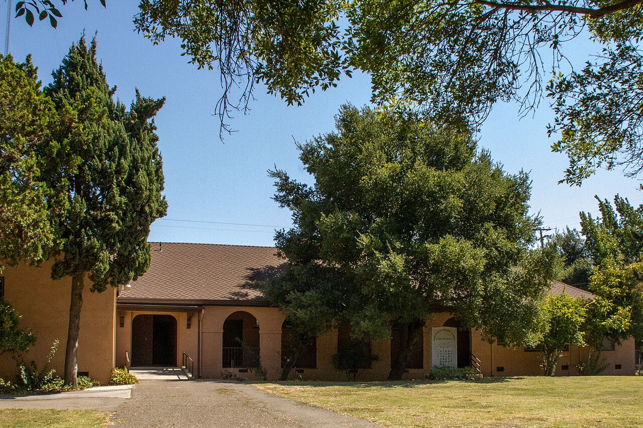
7 places in Walnut Grove on the National Register of Historic Places.
Census-designated place in California, United States
Walnut Grove is a census-designated place (CDP) in Sacramento County, California, United States. Founded in 1851 by Japanese immigrants, it served as an important port between Sacramento and San Francisco. It is part of the Sacramento–Arden-Arcade–Roseville Statistical Area. The population was 1,452 at the 2020 census, down from 1,542 at the 2010 census. As one of the only remaining Japanese-American built cities in the United States, Walnut Grove is considered a historical district and National Historic Landmark. About 40 of the original buildings still stand. Later, Japanese immigrants settled here to work on asparagus farms. The first known Japanese owned business was a noodle shop, whic…
From Wikipedia, licensed CC BY-SA 4.0 · facts via Wikidata (CC0)
Short answers, built from the data on this page.
Walnut Grove has fewer than 1,000 residents, too few for fair grades; the figures below are still real.
2 notable people were born here, including Mike Honda and Bo Eason.