Toro CanyonCA
A town of 1,477. A regional job hub with 1,078 jobs.
Is Toro Canyon a good place to live?
The best of Toro Canyon’s subject grades are an A for health and incomes; the weakest is a D− for hazard risk. 53% of residents are 65 or older in Toro Canyon, against 16% in California’s towns and 18% across U.S. towns. On hazard risk, just 62 of California’s 1,064 towns do worse. The typical home is worth about $2.0 million, 20.4 years of the Santa Maria metro’s $98K median household income. Toro Canyon is home to Pacifica Graduate Institute. Toro Canyon has fewer than 2,500 residents, so it gets subject grades but no overall grade.
What makes Toro Canyon stand out
Where Toro Canyon beats most towns, and one thing worth knowing.
Toro Canyon has grown 22% from 2010 to 2020
1,508 counted in 2010 and 1,835 in 2020.
U.S. Census 2010 & 2020 counts
How Toro Canyon grades
Each subject compared with towns across the country (schools within California), ordered by how far Toro Canyon is from typical.
How TownRatings grades towns →
Channel Islands National Park and 21 more within 40 miles
Museums, parks, gardens and other places to visit around Toro Canyon. Close and well known come first.
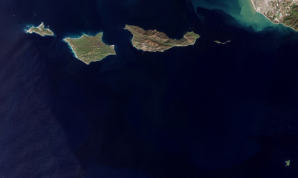 21 mi National ParkChannel Islands National Park227K visitors a year
 20 mi National forestLos Padres National Forest
 6 mi GardenLotusland
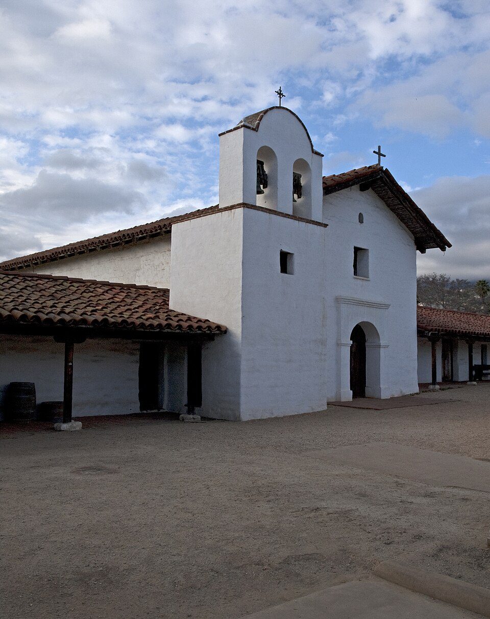 8 mi LandmarkPresidio of Santa Barbara
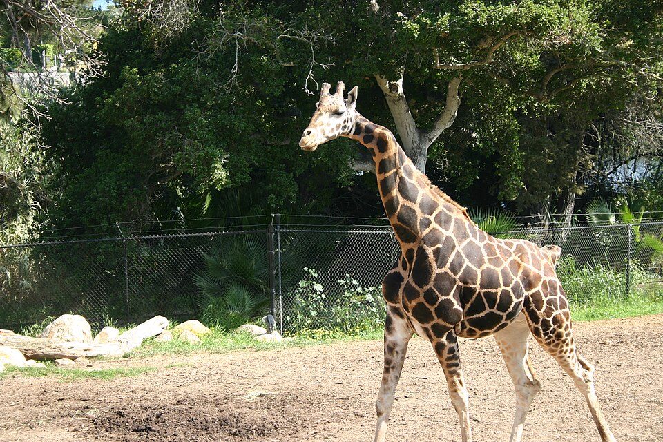 6 mi Zoo & aquariumSanta Barbara Zoo
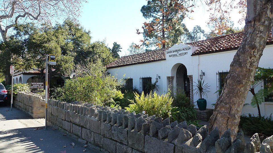 9 mi MuseumSanta Barbara Museum of Natural History
Photo credits
Channel Islands National Park: Copernicus Sentinel-2, ESA, CC BY-SA 3.0 igo · Los Padres National Forest: Taken by Antandrus, Public domain · Lotusland: brewbooks from near Seattle, USA, CC BY-SA 2.0 · Presidio of Santa Barbara: Ymblanter, CC BY-SA 3.0 · Santa Barbara Zoo: Dakart at en.wikipedia, Public domain · Santa Barbara Museum of Natural History: Jllm06, CC BY-SA 3.0


Moving to Toro Canyon: who provides what
Toro Canyon is unincorporated, so Santa Barbara County and regional agencies provide most services.
EPA SDWIS (Oct 9, 2026) · HIFLD + EIA-861 2025 · Census 2020 ZCTAs · NCES 2024–25 · registration: vote.gov, updated Nov 18, 2024.
The data
Ordered by what stands out in Toro Canyon.
Toro Canyon has 1.9 jobs for every working resident, and 1,050 people commute in
Most working residents leave Toro Canyon for work: only 5% work in town. Toro Canyon’s median household income is $141,000, above both California’s towns ($95,000) and U.S. towns ($80,000). 6% of Toro Canyon residents live below the poverty line.
| Toro Canyon | California towns | U.S. towns | |
|---|---|---|---|
| Median household income | $141,000 | $95,000 | $80,000 |
| Below the poverty line | 6% | 10% | 9.6% |
| Average trip to work | 27 minutes | 28 minutes | 25 minutes |
| Working residents who work in town | 5% | 6.6% | 8% |
Where working residents work
Census LEHD 2023 · ACS
Very high risk in Toro Canyon, with landslides at the top
Expected storm and flood damage is higher than in 99% of U.S. communities.
FEMA National Risk Index · OpenFEMA
Toro Canyon is healthier than 88% of U.S. towns
Toro Canyon beats the California average on 18 of 32 CDC measures and trails it on 5. 27% of adults sleep under 7 hours in Toro Canyon.
| Toro Canyon | California towns | U.S. towns | |
|---|---|---|---|
| Sleep under 7 hours (CDC PLACES) | 27% | 35% | 36% |
| Frequent mental distress (CDC PLACES) | 13% | 17% | 17% |
| Obesity (CDC PLACES) | 24% | 29% | 35% |
| Feel lonely (CDC PLACES) | 30% | 36% | 33% |
| What stands out | Toro Canyon | CA |
|---|---|---|
| Fewer adults facing food insecurity | 8.2% | 17.9% |
| Fewer adults facing housing insecurity | 7.1% | 14.9% |
| More adults who have had cancer | 11.8% | 6.4% |
CDC PLACES 2025 · modeled estimates for adults · CMS · HRSA
Mild winters and pleasant summers in Toro Canyon
Toro Canyon has warm winters and pleasant summers, with very little rain. The July high in Toro Canyon is 79°F.
Typical low → high °F
NOAA U.S. Climate Normals, 1991–2020
2% of Toro Canyon is conserved land
4.9 miles of trail in 2 parks and preserves. Toro Canyon’s trail density is 0.4 miles per square mile. The biggest place to walk is Toro Canyon Park, 68 acres with 1.2 miles of trail.
| Toro Canyon | California towns | U.S. towns | |
|---|---|---|---|
| Miles of trail per square mile | 0.4 miles per square mile | 1.0 | 0.4 |
| Conserved land | 2% | 4.3% | 4.3% |
| Biggest places to walk | Trails | Acres |
|---|---|---|
| 1. Toro Canyon Park | 1.2 mi | 68 |
| 2. Los Padres National Forest | — | 6 |
Trails & parks © OpenStreetMap contributors · Conserved land: USGS PAD-US
A home in Toro Canyon sells for about $705K at the median
Zillow Home Value Index · Redfin Data Center
Everything we know about Toro Canyon
Colleges nearby
6 within 15 miles of the center of Toro Canyon
About 2 of every 100 Toro Canyon residents are enrolled in college, against 8 across California.
1,477 people, and everyone knows the way
In a town this size, neighbors are the best guide. Ask them anything.
About Toro Canyon
Place in California, United States
Toro Canyon (Toro, Spanish for "bull") is a census-designated place (CDP) in Santa Barbara County, California, United States. The population was 1,835 at the 2020 census, up from 1,508 at the 2010 census.
From Wikipedia, licensed CC BY-SA 4.0 · facts via Wikidata (CC0)
- Area
- 3.6 sq mi
- Elevation
- 49 ft
Questions about Toro Canyon
Short answers, built from the data on this page.
Is Toro Canyon, CA expensive?
Yes. The typical home is worth about $2,000,000, 163% above the California typical home. Cost of living, which also weighs rents, property taxes and how many households pay 30% or more of their income for housing, grades D−.