
House on Skyway in Stirling City (2024)-L1005987, 2024
Stirling City’s story
123 years in pictures
The archive holds 6 old photos and papers going back to 1953 and 3 maps from 1953 on.
- 1903Stirling City is settled
Each edition grades its towns against each other only.

This town of 344 people was settled in 1903.
86% of households live in a home they own in Stirling City, against 64% in California’s towns and 73% across U.S. towns. Stirling City has fewer than 1,000 residents, too few for fair grades; the figures below are still real.
In a town this size, neighbors are the best guide. Ask them anything.
The archive holds 6 old photos and papers going back to 1953 and 3 maps from 1953 on.
Stirling City is unincorporated, so Butte County and regional agencies provide most services.
EPA SDWIS (Oct 9, 2026) · HIFLD + EIA-861 2025 · Census 2020 ZCTAs · NCES 2024–25 · registration: vote.gov, updated Nov 18, 2024.
Ordered by what stands out in Stirling City.
64% of Stirling City’s expected losses from natural hazards come from wildfires, followed by inland flooding at 24%. FEMA expects more storm and flood damage in the town than in 92% of U.S. communities. Federal aid has come to Stirling City households in 3 declared disasters; the latest was in 2023.
FEMA disaster declarations and aid · FEMA National Risk Index · OpenFEMA
Half commute less than 27 miles. The top destinations are Chico (29%), Paradise (13%) and San Jose (4%). Stirling City: 11% of residents live below the poverty line.
Census LEHD 2024 · ACS
July afternoons reach 89°, January nights drop to 34° and snow is almost unheard of.
NOAA U.S. Climate Normals, 1991–2020
Against the California average, Stirling City comes out ahead on 3 CDC measures out of 32, and behind on 17. The share of adults in Stirling City who have diabetes is 16%.
| Stirling City | Typical California town | Typical U.S. town | |
|---|---|---|---|
| Frequent physical distress (CDC PLACES) | 19% | 14% | 14% |
| High blood pressure (CDC PLACES) | 43% | 31% | 35% |
| Fair or poor health (CDC PLACES) | 29% | 22% | 19% |
| Diabetes (CDC PLACES) | 16% | 12% | 12% |
| What stands out | Stirling City | CA |
|---|---|---|
| Fewer uninsured adults | 8.6% | 10.6% |
| More adults screened for colon cancer | 66.4% | 57.5% |
| More adults with COPD | 11.2% | 5.1% |
CDC PLACES 2025 · modeled estimates for adults · CMS · HRSA
Museums, parks, gardens and other places to visit around Stirling City. Close and well known come first.
 31 mi National ParkLassen Volcanic National Park505K visitors a year
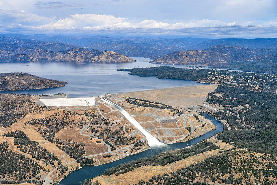 25 mi DamOroville Dam
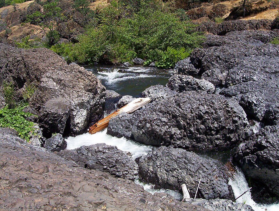 16 mi Park & preserveBidwell Park
 18 mi MuseumChico Air Museum
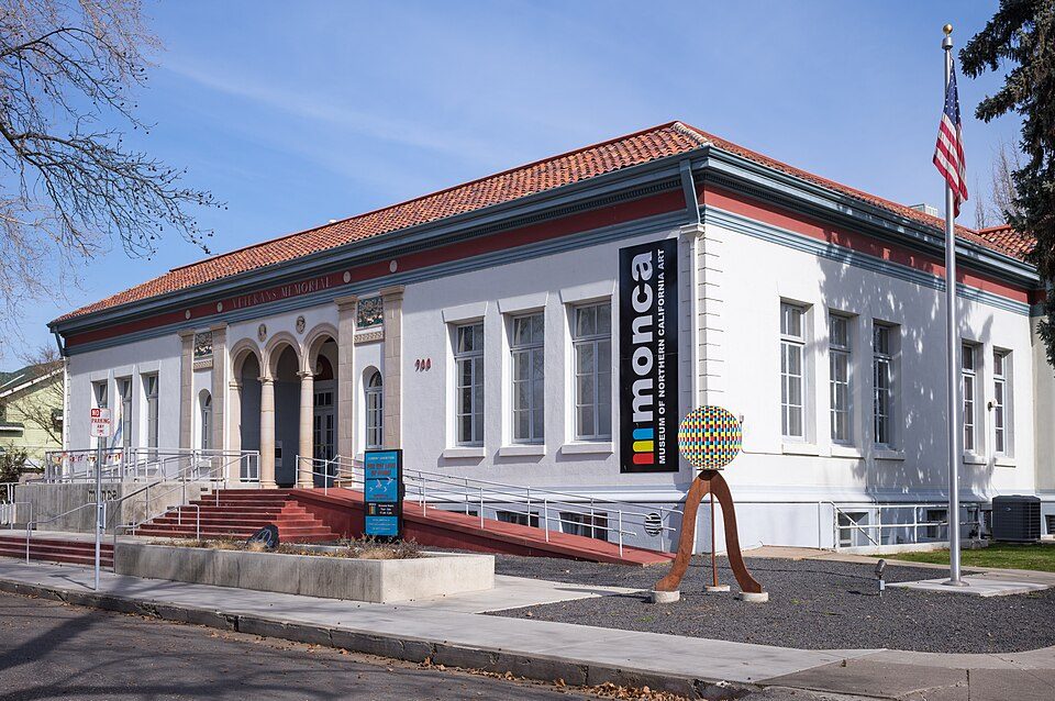 20 mi MuseumMuseum of Northern California Art
Lassen Volcanic National Park: en:User:Mav, CC BY-SA 3.0 · Oroville Dam: California Department of Water Resources, Public domain · Bidwell Park: Saopaulo1 at English Wikipedia, CC BY-SA 3.0 · Chico Air Museum: Bsudicky, CC BY-SA 4.0 · Museum of Northern California Art: Frank Schulenburg, CC BY-SA 4.0
None within 15 miles of Stirling City; the nearest are
About 0 of every 100 Stirling City residents are enrolled in college, against 8 across California.
Where Stirling City’s working residents go each day. Line width shows the share.
Census LEHD 2024
Unincorporated community in California, United States
Stirling City is a census-designated place in Butte County, California, United States, located on Paradise Ridge in the western foothills of the Sierra Nevada. Contrary to its name, Stirling City is not a city. Its ZIP Code is 95978 and the CDP is served by area code 530. It lies at an elevation of 3570 feet (1088 m). Stirling City had a population of 284 at the 2020 census. Stirling City is located at 39°54′28″N 121°31′41″W, approximately 32 miles (45 km) northeast of Chico. It is built around a loop (which terminates a winding spur line) of the Southern Pacific Railroad, built to collect lumber from the Lassen National Forest.
From Wikipedia, licensed CC BY-SA 4.0 · facts via Wikidata (CC0)
Short answers, built from the data on this page.
Stirling City has fewer than 1,000 residents, too few for fair grades; the figures below are still real.


