
Santa Venetia, California, 2006
Santa Venetia’s story
112 years in pictures
Census counts: 3,362 in 1990, 4,289 in 2020. The archive holds 4 old photos and papers going back to 2006 and 3 maps from 1954 on.
- 1914Santa Venetia is founded
Each edition grades its towns against each other only.
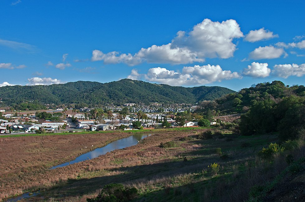
The town was founded in 1914 and has 3,725 residents today. More miles of trail than almost any town in California.
The picture is mixed. Its lowest grade is for hazard risk (D−): FEMA rates its natural-hazard risk higher than 99% of U.S. communities, with coastal flooding at the top. Santa Venetia grades C+ overall, better than 43% of U.S. towns. That places it 263rd of 841 in California. It lags on cost of living as well — the typical home is worth about $1.0 million, 7.4 years of the San Francisco metro’s $136K median household income. Where it does best is walkability (A+) — it is more walkable than 96% of U.S. towns. China Camp State Park, at 1,016 acres with 18.4 miles of trail, is the biggest park or preserve. A third of residents are 65 or older here, above both California’s towns (16%) and U.S. towns (18%).
Figures: FEMA National Risk Index · home values, Zillow · incomes, Census ACS, 2020–24 · OpenStreetMap.
Each subject compared with towns across the country (schools within California), ordered by how far Santa Venetia is from typical.
How TownRatings grades towns →
Where Santa Venetia beats most towns, and one thing worth knowing.
Census counts: 3,362 in 1990, 4,289 in 2020. The archive holds 4 old photos and papers going back to 2006 and 3 maps from 1954 on.
Coastal flooding makes up 42% of the storm damage FEMA expects here.
FEMA National Risk Index · OpenFEMA · OpenStreetMap
Ordered by what stands out in Santa Venetia.
Santa Venetia has more trail for its size than nearly any town in California, has milder winter nights than nearly all U.S. towns and owes part of its health edge to its incomes.
At 7.4 miles of trail per square mile, it ranks #2 of 678 California towns. Its 1,436 conserved acres are a larger share of the town than in 99% of California towns.
27 miles of trail wind through 7 parks and preserves. Parks and preserves in Santa Venetia: 7, covering 1,437 acres.
| Biggest places to walk | Trails | Acres |
|---|---|---|
| 1. China Camp State Park | 18.4 mi | 1,016 |
| 2. San Pedro Mountain Open Space Preserve | 1.8 mi | 350 |
| 3. Harry A Barbier Memorial Park | 1.2 mi | 14 |
Trails & parks © OpenStreetMap contributors · Conserved land: USGS PAD-US
One of its 2 schools is below, with the reason it’s listed. Public schools: the San Rafael City Elementary school district. Enrollment at Santa Venetia’s public school: 748 students.
| School | Level | Students | Letter |
|---|---|---|---|
| Venetia Valley K-8Largest public elementary schoolGrades K–8 | Grades K–8 | 748 | C+ |
NCES · EDFacts · graded within CA on state tests and graduation
Since 1978, Santa Venetia has seen 187 flood insurance claims paid out. Just over two fifths of the town’s expected losses from natural hazards come from coastal flooding, followed by inland flooding at 40%.
FEMA flood insurance claims · FEMA National Risk Index · OpenFEMA
Against the 4,870 U.S. towns with household incomes like Santa Venetia’s, it is healthier than 62%, a smaller edge than it has nationally: part of it comes with its incomes.
Among adults in Santa Venetia, 21% have been diagnosed with depression. Against the California average, Santa Venetia comes out ahead on 16 CDC measures out of 32, and behind on 3. Two figures for adults in the town: 30% feel lonely, 14% report frequent mental distress.
| Santa Venetia | California towns | U.S. towns | |
|---|---|---|---|
| Obesity (CDC PLACES) | 22% | 29% | 35% |
| Feel lonely (CDC PLACES) | 30% | 36% | 33% |
| Frequent mental distress (CDC PLACES) | 14% | 17% | 17% |
| Sleep under 7 hours (CDC PLACES) | 31% | 35% | 36% |
| What stands out | Santa Venetia | CA |
|---|---|---|
| Fewer adults facing food insecurity | 9.5% | 17.9% |
| Fewer adults facing housing insecurity | 8.6% | 14.9% |
| More adults who have had cancer | 10.7% | 6.4% |
CDC PLACES 2025 · modeled estimates for adults · CMS · HRSA
3.2% of Santa Venetia working residents work locally. The top destinations are San Francisco (21%), San Rafael (17%) and Novato (5%). The typical household income in the town is $127,000. Half the trips to work are shorter than 16 miles.
| Santa Venetia | California towns | U.S. towns | |
|---|---|---|---|
| Median household income | $127,000 | $95,000 | $80,000 |
| Working residents who work in town | 3.2% | 6.6% | 8% |
| Below the poverty line | 7.8% | 10% | 9.6% |
| Average trip to work | 26 minutes | 28 minutes | 25 minutes |
Census LEHD 2023 · ACS
January nights average 43.5°, milder than in 96% of U.S. towns; July afternoons average 71.7°.
In Santa Venetia, the typical July afternoon high is 72°F. It almost never snows.
| Santa Venetia | California towns | U.S. towns | |
|---|---|---|---|
| July high | 72°F | 89°F | 85°F |
| January low | 44°F | 40°F | 22°F |
NOAA U.S. Climate Normals, 1991–2020
The median property tax bill is $8,456, against $5,124 across California, another input to its cost-of-living grade.
The share of households in Santa Venetia who are owner-occupiers: 70%.
Census ACS, 2020–24 · Zillow Home Value Index · Redfin Data Center
Museums, parks, gardens and other places to visit around Santa Venetia. Close and well known come first.
 Big draw13 mi MuseumAlcatraz Federal Penitentiary
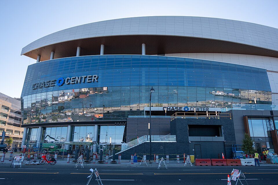 Big draw18 mi Stadium & arenaChase Center
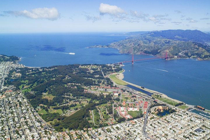 Big draw14 mi GardenPresidio of San Francisco
 Big draw15 mi LandmarkLombard Street
 Big draw19 mi MuseumUSS Hornet
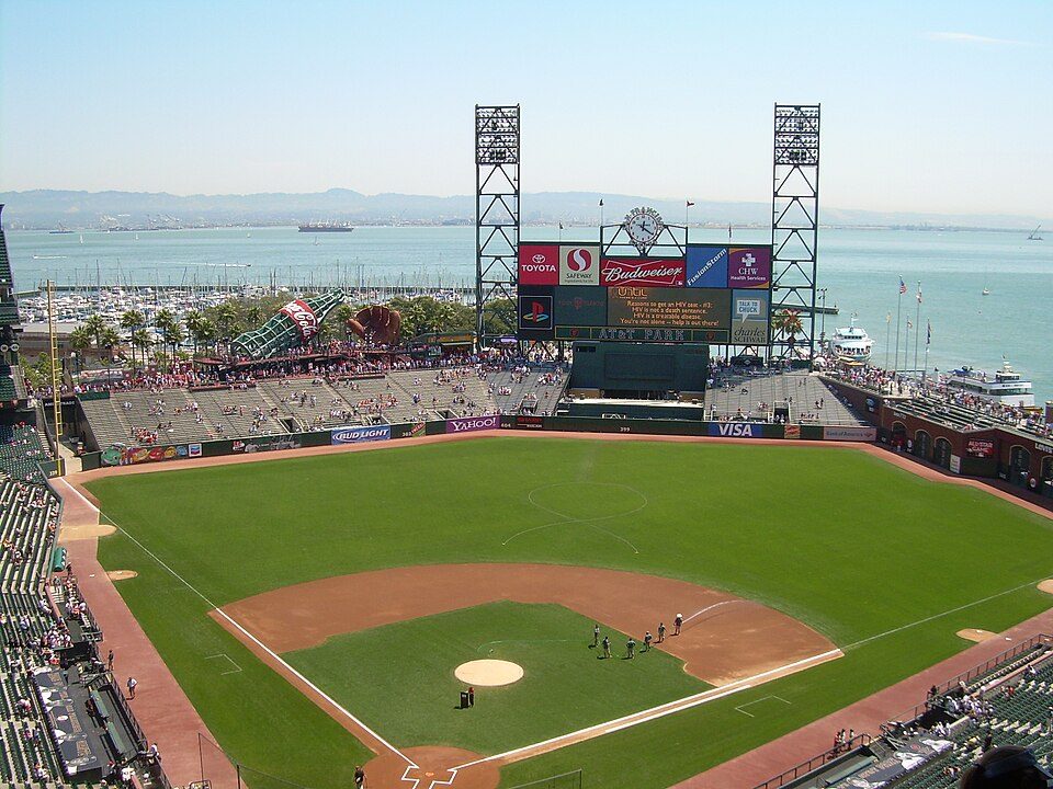 Big draw17 mi Stadium & arenaOracle Park
Alcatraz Federal Penitentiary: druchoy, CC BY-SA 2.0 · Chase Center: Gregory Varnum, CC BY-SA 4.0 · Presidio of San Francisco: Robert Campbell, CC BY-SA 3.0 · Lombard Street: The original uploader was Y6y6y6 at English Wikipedia., Public domain · USS Hornet: kitmasterbloke, CC BY 2.0 · Oracle Park: User Coasttocoast on en.wikipedia, CC BY-SA 3.0
Santa Venetia is unincorporated, so Marin County and regional agencies provide most services.
EPA SDWIS (Oct 9, 2026) · HIFLD + EIA-861 2025 · Census 2020 ZCTAs · NCES 2024–25 · registration: vote.gov, updated Nov 18, 2024.
61.1% of the town is conserved land, across 7 parks and preserves.
5 within 15 miles of the center of Santa Venetia
About 2 of every 100 Santa Venetia residents are enrolled in college, against 8 across California.
Census-designated place in California, United States
Santa Venetia is a census-designated place (CDP) in Marin County, California, United States. It is located 1.5 miles (2.4 km) north of downtown San Rafael, at an elevation of 56 feet (17 m). The population was 4,289 at the 2020 census.
From Wikipedia, licensed CC BY-SA 4.0 · facts via Wikidata (CC0)
One town shares a border with Santa Venetia.
| Town | CA rank | Overall | Cost | Safety | Schools | Health |
|---|---|---|---|---|---|---|
| Santa Venetia | #263 | C+ | D− | — | B− | A |
| San Rafael | #380 | C | D− | D | B+ | A− |
Santa Venetia reports no FBI crime data of its own. Compare Santa Venetia with a neighbor →
Short answers, built from the data on this page.
Santa Venetia grades C+ overall, better than 43% of U.S. towns and #263 of 841 in California. It grades A for health and B− for schools. Hazard risk is its weak spot, with a D−.
Yes. The typical home is worth about $1,006,000, 32% above the California typical home. Cost of living, which also weighs rents, property taxes and how many households pay 30% or more of their income for housing, grades D−.
Ask a question, answer one, post a photo or an event. Free, and the parts only a neighbor would know are the parts worth reading.


