
Atkinson House · National Register of Historic Places
Rutherford’s story
155 years in pictures
1 place on the National Register of Historic Places.
- 1871Rutherford is settled
Each edition grades its towns against each other only.
A town of 84, settled in 1871.
Atkinson House and Helios Ranch is on the National Register of Historic Places. Rutherford has fewer than 1,000 residents, too few for fair grades; the figures below are still real.
In a town this size, neighbors are the best guide. Ask them anything.
1 place on the National Register of Historic Places.
Museums, parks, gardens and other places to visit around Rutherford. Close and well known come first.
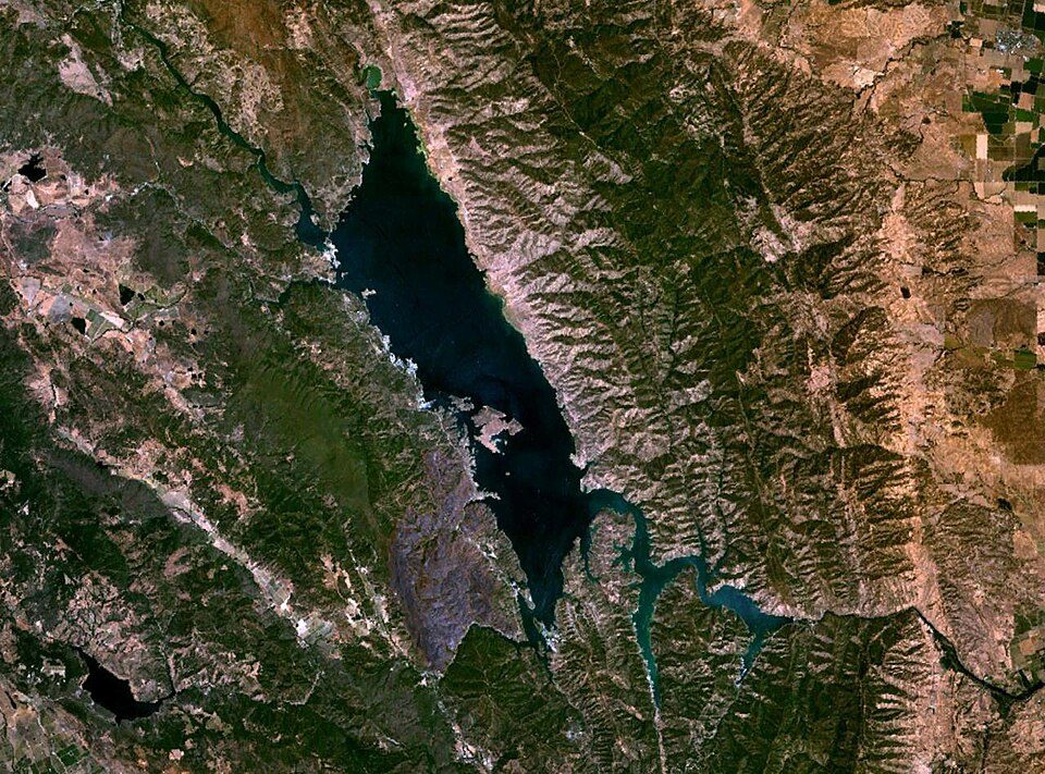 13 mi LakeLake Berryessa
 39 mi National MonumentMuir Woods National Monument757K visitors a year
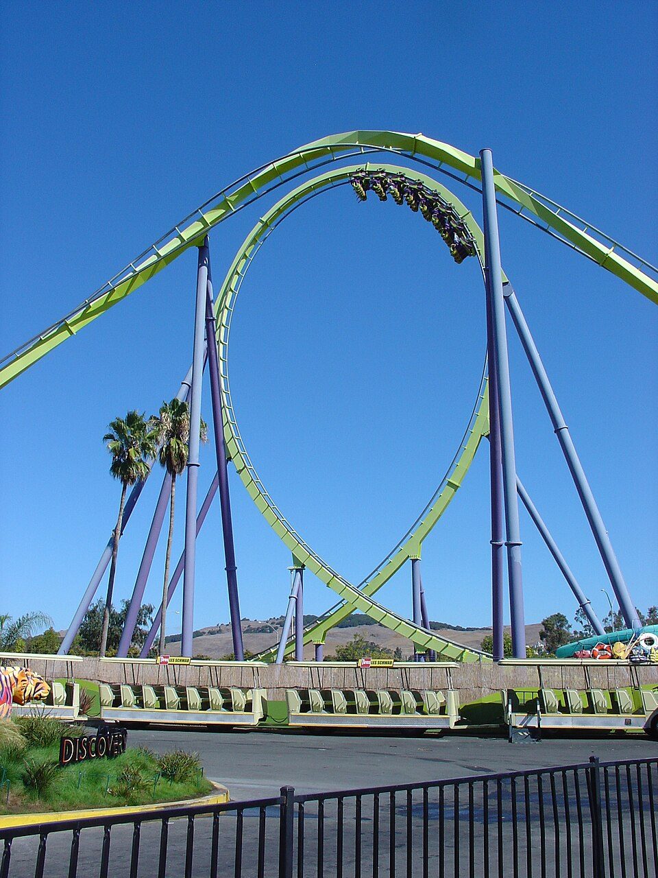 25 mi Theme parkSix Flags Discovery Kingdom
 37 mi MountainMount Tamalpais
 33 mi National SeashorePoint Reyes National Seashore2.4M visitors a year
 17 mi MuseumCharles M. Schulz Museum and Research Center
Lake Berryessa: Unknown, Public domain · Muir Woods National Monument: Unknown, CC BY-SA 3.0 · Six Flags Discovery Kingdom: Tinned Elk, CC BY-SA 3.0 · Mount Tamalpais: Originally uploaded by Nelso (Transferred by DimiTalen), CC BY-SA 3.0 · Point Reyes National Seashore: King of Hearts, CC BY-SA 4.0 · Charles M. Schulz Museum and Research Center: BrokenSphere, CC BY-SA 3.0
Rutherford is unincorporated, so Napa County and regional agencies provide most services.
EPA SDWIS (Oct 9, 2026) · HIFLD + EIA-861 2025 · Census 2020 ZCTAs · NCES 2024–25 · registration: vote.gov, updated Nov 18, 2024.
Ordered by what stands out in Rutherford.
Rutherford’s risk rating from FEMA is 94 of 100, above both California’s towns (88 of 100) and U.S. towns (44 of 100). 46% of the town’s expected losses from natural hazards come from drought, followed by inland flooding at 27%. Federal aid has come to Rutherford households in 3 declared disasters; the latest was in 2017.
FEMA disaster declarations and aid · FEMA National Risk Index · OpenFEMA
Rutherford’s July high is 87°F, against 89°F in California’s towns and 85°F across U.S. towns.
NOAA U.S. Climate Normals, 1991–2020
In Rutherford, nearly a fifth of adults have been diagnosed with depression. Of 32 CDC measures, Rutherford beats the California average on 13 and trails it on 2. Two figures for adults here: 30% sleep under 7 hours, 30% feel lonely.
| Rutherford | California towns | U.S. towns | |
|---|---|---|---|
| Frequent mental distress (CDC PLACES) | 13% | 17% | 17% |
| Sleep under 7 hours (CDC PLACES) | 30% | 35% | 36% |
| Feel lonely (CDC PLACES) | 30% | 36% | 33% |
| Smoke cigarettes (CDC PLACES) | 7.8% | 11% | 14% |
| What stands out | Rutherford | CA |
|---|---|---|
| Fewer older adults who have lost all their teeth | 5.1% | 10.6% |
| Fewer adults facing food insecurity | 11.1% | 17.9% |
| More adults who have had cancer | 9.3% | 6.4% |
CDC PLACES 2025 · modeled estimates for adults · CMS · HRSA
The share of households in Rutherford who live in a home they own: 60%.
Census ACS, 2020–24 · Zillow Home Value Index · Redfin Data Center
1 within 15 miles of the center of Rutherford
About 0 of every 100 Rutherford residents are enrolled in college, against 8 across California.
Census-designated place in California, United States
Rutherford is a census-designated place (CDP) in Napa County, California, United States. The population was 115 at the 2020 census. Rutherford is located in the Rutherford AVA (American Viticultural Area) which is located in the larger Napa Valley AVA. The Robert Mondavi Winery is located between Rutherford and neighboring Oakville (though its corporate headquarters are in nearby St. Helena). Other notable wineries in the Rutherford area include Beaulieu Vineyard, Grgich Hills Estate, St. Supéry Estate Vineyards & Winery, and Inglenook. The Auberge du Soleil restaurant and resort is located in Rutherford. Rutherford's zip code is 94573. It is inside area code 707.
From Wikipedia, licensed CC BY-SA 4.0 · facts via Wikidata (CC0)
Short answers, built from the data on this page.
Rutherford has fewer than 1,000 residents, too few for fair grades; the figures below are still real.


