
Rio Linda CA 1091, 2013
Rio Linda’s story
112 years in pictures
The archive holds 5 old photos and papers going back to 2013 and 7 maps from 1902 on.
- 1914Rio Linda is settled
Each edition grades its towns against each other only.

A town of 16,335, settled in 1914.
Rio Linda is a solid, middle-of-the-road choice. It grades C overall, 335th among California's 841 graded towns, with no subject far below average. Its best mark is incomes: the median household earns $96K. Expect to pay for it: homes are expensive, about $447K for a typical one and 4.6 times the Sacramento metro’s $97K median household income. Only 29 of California’s 1,064 towns score higher on hazard risk. Rio Linda is more walkable than 79% of U.S. towns.
Where Rio Linda beats most towns.
Where Rio Linda’s working residents go each day. Line width shows the share.
Census LEHD 2023
Each subject compared with towns across the country (schools within California), ordered by how far Rio Linda is from typical.
How TownRatings grades towns →
The archive holds 5 old photos and papers going back to 2013 and 7 maps from 1902 on.
Museums, parks, gardens and other places to visit around Rio Linda. Close and well known come first.
 5 mi Stadium & arenaARCO Arena
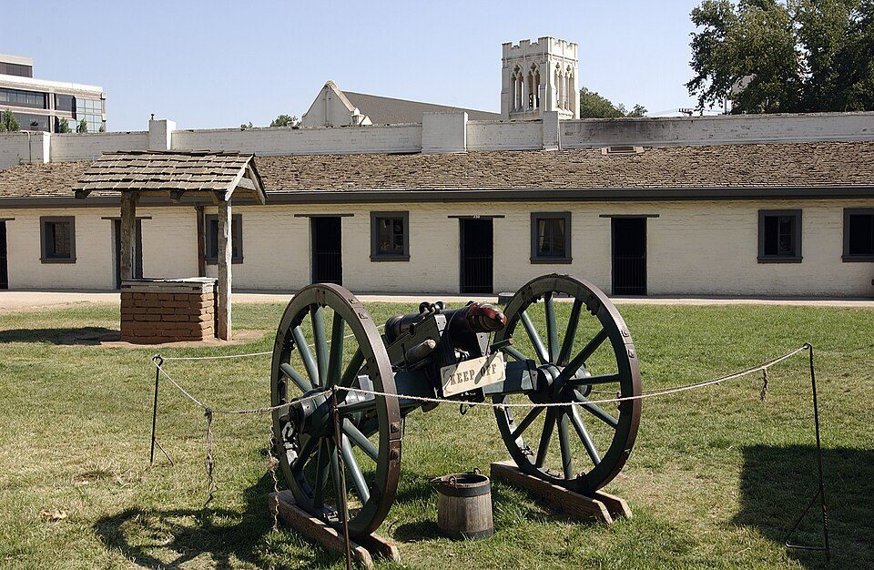 8 mi State parkSutter's Fort
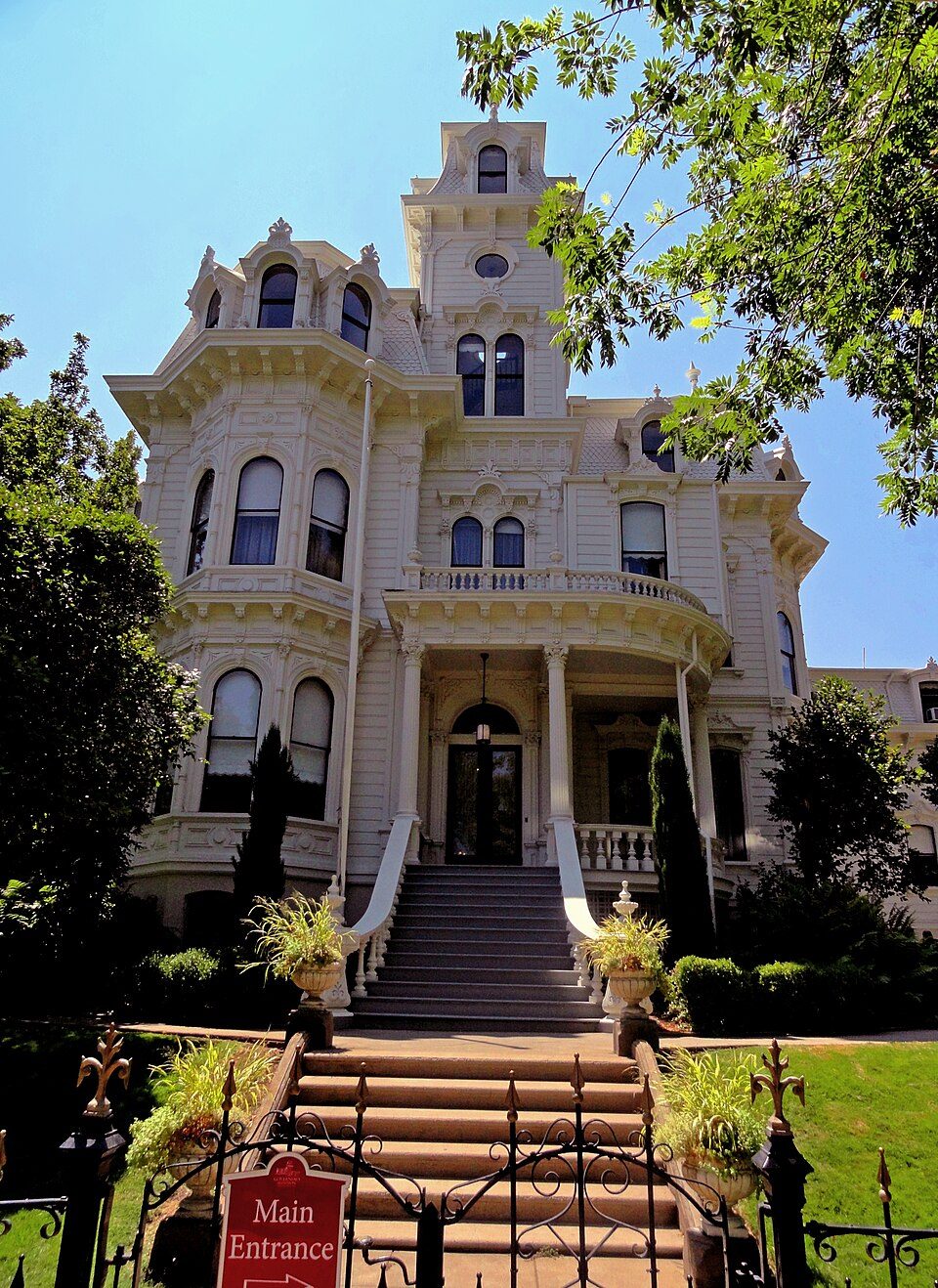 8 mi State parkGovernor's Mansion State Historic Park
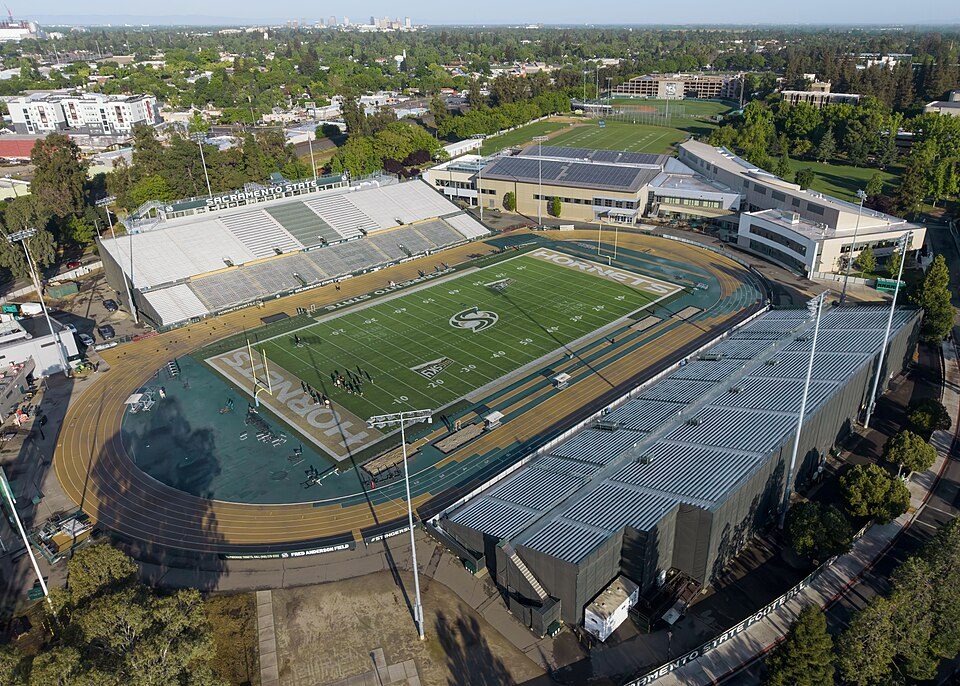 9 mi Stadium & arenaHornet Stadium
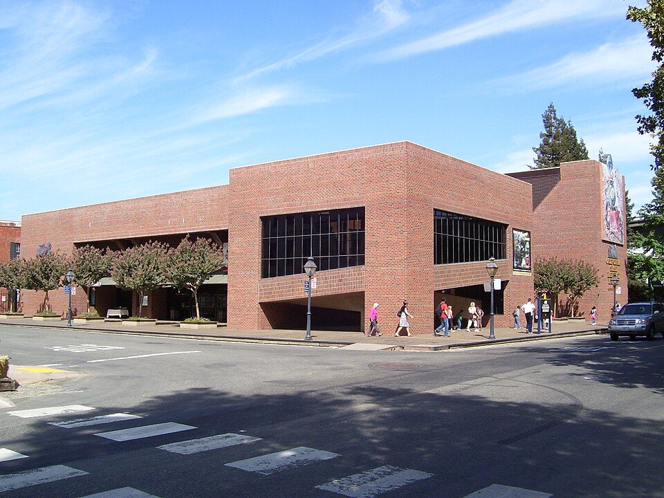 8 mi MuseumCalifornia State Railroad Museum500K visitors a year
 8 mi State parkLeland Stanford Mansion State Historic Park
ARCO Arena: CLopez63, CC BY-SA 3.0 · Sutter's Fort: Ian Howard, CC BY 2.5 · Governor's Mansion State Historic Park: Mark James Miller, CC BY 3.0 · Hornet Stadium: Quintin Soloviev, CC BY 4.0 · California State Railroad Museum: The original uploader was Swampyank at English Wikipedia., CC BY-SA 3.0 · Leland Stanford Mansion State Historic Park: M.Mierzwa. MCalamari at en.wikipedia, Public domain
Rio Linda is unincorporated, so Sacramento County and regional agencies provide most services.
EPA SDWIS (Oct 9, 2026) · HIFLD + EIA-861 2025 · Census 2020 ZCTAs · NCES 2024–25 · registration: vote.gov, updated Nov 18, 2024.
Ordered by what stands out in Rio Linda.
Rio Linda carries less natural-hazard risk than nearly all of California (mostly inland flooding) and has hotter summers than nearly all U.S. towns, but it trails even towns with similar incomes on health.
Rio Linda’s median rent is $1,839 a month, against $1,898 a month in California’s towns and $1,185 a month across U.S. towns. The typical Rio Linda home is worth about $447,000, up 1.2% in a year, 41% below the California typical home.
| Rio Linda | California towns | U.S. towns | |
|---|---|---|---|
| Median rent | $1,839 a month | $1,898 a month | $1,185 a month |
| Households that own their home | 73% | 64% | 73% |
Census ACS, 2020–24 · Zillow Home Value Index · Redfin Data Center
Its public schools are run by the Twin Rivers Unified school district. Two of its 7 schools are below, each with why it’s listed. The largest public high school is Rio Linda High, with 1,594 students.
| School | Level | Students | Letter |
|---|---|---|---|
| Dry Creek ElementaryLargest public elementary schoolGrades K–6 | Grades K–6 | 645 | – |
| Rio Linda HighLargest public high schoolGrades 9–12 | Grades 9–12 | 1,594 | – |
NCES · EDFacts · graded within CA on state tests and graduation
Jobs based here grew from 1,187 in 2013 to 1,990.
Most working residents leave Rio Linda for work: only 6% work in town. Jobs based in Rio Linda grew to 1,990 in 2023, 803 more than in 2013. 14% of Rio Linda residents live below the poverty line, above both the California town median (10%) and the median of U.S. towns (9.6%).
| Rio Linda | California towns | U.S. towns | |
|---|---|---|---|
| Below the poverty line | 14% | 10% | 9.6% |
| Average trip to work | 29 minutes | 28 minutes | 25 minutes |
| Median household income | $96,000 | $95,000 | $80,000 |
| Working residents who work in town | 5.6% | 6.6% | 8% |
Census LEHD 2023 · ACS
July afternoons average 95°, hotter than in 96% of U.S. towns; January nights average 39.2°.
Rio Linda has mild winters and hot summers, with very little rain. The July high in Rio Linda is 95°F. Snow is almost unheard of.
| Rio Linda | California towns | U.S. towns | |
|---|---|---|---|
| July high | 95°F | 89°F | 85°F |
| January low | 39°F | 41°F | 22°F |
NOAA U.S. Climate Normals, 1991–2020
FEMA rates its natural-hazard risk lower than 96% of California towns, with expected losses of about $131 per resident a year; that rating is what its B for hazard risk is built on.
Rio Linda’s FEMA risk score is 38 of 100. Since 1978, 205 flood insurance claims have been paid out in Rio Linda.
FEMA flood insurance claims · FEMA National Risk Index · OpenFEMA
2.3 miles of trail in 3 parks and preserves.
| Rio Linda | California towns | U.S. towns | |
|---|---|---|---|
| Miles of trail per square mile | 0.2 miles per square mile | 1.0 | 0.4 |
| Conserved land | 9.2% | 4.2% | 4.3% |
| Biggest places to walk | Trails | Acres |
|---|---|---|
| 1. Rio Linda Central PArk | 0.2 mi | 16 |
| 2. Depot Park | — | 10 |
| 3. Westside Park | — | 8 |
Trails & parks © OpenStreetMap contributors · Conserved land: USGS PAD-US
Against the 9,120 U.S. towns with household incomes like Rio Linda’s, it is less healthy than 71%, so it trails even them.
Rio Linda beats the California average on 0 of 32 CDC measures and trails it on 8. 69% of Rio Linda adults had a checkup this year.
| Rio Linda | California towns | U.S. towns | |
|---|---|---|---|
| Yearly checkup (CDC PLACES) | 69% | 72% | 79% |
| Feel lonely (CDC PLACES) | 39% | 36% | 33% |
| Frequent mental distress (CDC PLACES) | 19% | 17% | 17% |
| Depression (CDC PLACES) | 25% | 22% | 23% |
| What stands out | Rio Linda | CA |
|---|---|---|
| More adults with COPD | 6.8% | 5.1% |
| More smokers | 14.3% | 10.9% |
| More adults with depression | 25.4% | 20.1% |
CDC PLACES 2025 · modeled estimates for adults · CMS · HRSA
8 within 15 miles of the center of Rio Linda
About 4 of every 100 Rio Linda residents are enrolled in college, against 8 across California.
Census-designated place in California, United States
Rio Linda (Spanish: Río Linda, meaning "Pretty River") is a census-designated place (CDP) in Sacramento County, California, United States. It is part of the Sacramento metropolitan area. As of the 2020 census, the CDP population was 15,944, up from 15,106 at the time of the 2010 census.
From Wikipedia, licensed CC BY-SA 4.0 · facts via Wikidata (CC0)
4 towns share a border with Rio Linda.
It grades higher overall than all 3 graded towns on its borders; North Highlands (C) comes closest.
| Town | CA rank | Overall | Cost | Safety | Schools | Health |
|---|---|---|---|---|---|---|
| Rio Linda | #335 | C | C− | — | C+ | B− |
| McClellan Park | — | — | D− | — | C+ | C− |
| Elverta | #463 | C− | C− | — | B− | B− |
| Sacramento | #509 | C− | D | D | B− | B |
| North Highlands | #442 | C | C | — | B− | C |
McClellan Park has fewer than 2,500 residents, so it gets subject grades but no overall grade. Rio Linda, McClellan Park, Elverta and North Highlands report no FBI crime data of their own. Compare Rio Linda with a neighbor →
Short answers, built from the data on this page.
Rio Linda grades C overall, better than 35% of U.S. towns and #335 of 841 in California. It grades B− for health and C+ for schools. Cost of living is its weak spot, with a C−.
Yes. Cost of living, which also weighs rents, property taxes and how many households pay 30% or more of their income for housing, grades C−.


