145 years in pictures
Census counts: 232 in 2000, 190 in 2020. The archive holds 6 old photos and papers going back to 1898 and 6 maps from 1896 on.
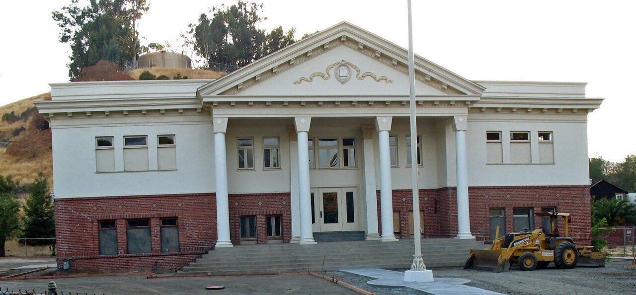
1 place on the National Register of Historic Places.
- 1881Port Costa is settled
Each edition grades its towns against each other only.

The town, settled in 1881, counts 296 residents.
Port Costa’s median age is 67.3 years, where California’s towns sit at 39 years and U.S. towns at 40.5 years. 50% of the land in Port Costa is conserved, against 4.3% in California’s towns and 4.3% across U.S. towns. Port Costa School is on the National Register of Historic Places. Port Costa has fewer than 1,000 residents, too few for fair grades; the figures below are still real.
Census counts: 232 in 2000, 190 in 2020. The archive holds 6 old photos and papers going back to 1898 and 6 maps from 1896 on.
1 place on the National Register of Historic Places.
In a town this size, neighbors are the best guide. Ask them anything.
Ordered by what stands out in Port Costa.
College graduates make up 28% of adults 25 and older, against 37% across California.
Somewhere between 28% and 50% women
The Census survey reached too few of Port Costa’s residents to say more: its margin here is ±11.3 points. Across California, 50.1% of residents are women.
| Port Costa | CA | U.S. | |
|---|---|---|---|
| Under 10 | 12.8% | 11.4% | 11.6% |
| 10 to 17 | 0% | 10.5% | 10.3% |
| 18 to 24 | 0% | 9.1% | 9.1% |
| 25 to 34 | 0% | 14.8% | 13.7% |
| 35 to 44 | 6.1% | 13.9% | 13.2% |
| 45 to 54 | 10.8% | 12.5% | 12.2% |
| 55 to 64 | 3.7% | 12.1% | 12.7% |
| 65 to 74 | 29.7% | 9.2% | 10.2% |
| 75 and older | 36.8% | 6.5% | 7% |
| No diploma | 0% | 15.3% | 10.4% |
| High school | 15.5% | 20.5% | 26% |
| Some college | 24% | 19.3% | 19.1% |
| Associate’s | 32.6% | 7.9% | 8.8% |
| Bachelor’s | 13.6% | 22.7% | 21.6% |
| Graduate | 14.3% | 14.4% | 14.1% |
U.S. Census Bureau · ACS 2020-2024 5-year estimates · in a town of 300, single groups can be off by several points
Across 1 park or preserve run 0.8 miles of trail. The biggest park or preserve is Carquinez Regional Shoreline, at 51 acres. Port Costa’s trail network density is recorded as 4.0 miles per square mile.
| Biggest places to walk | Trails | Acres |
|---|---|---|
| 1. Carquinez Regional Shoreline | 0.7 mi | 51 |
Trails & parks © OpenStreetMap contributors · Conserved land: USGS PAD-US
In Port Costa, the FEMA hazard score is 90 of 100. FEMA puts nearly four fifths of the town’s expected hazard losses down to earthquakes, and 18% to inland flooding.
FEMA National Risk Index · OpenFEMA
Its midsummer high is 81°F.
NOAA U.S. Climate Normals, 1991–2020
For most workers, Port Costa is a place to come home to: only 1% work in town. Jobs in Port Costa grew by 90 from 2014 to 2024, reaching 132. The top destinations are San Francisco (17%), Martinez (7%) and Concord (7%).
Census LEHD 2024 · ACS
For households in Port Costa, the share who are owner-occupiers is 56%. In the year to September 2026, typical home values climbed 2.2%.
Census ACS, 2020–24 · Zillow Home Value Index · Redfin Data Center
75% of adults had a checkup this year in Port Costa. This California town does better than the California average on 12 of 32 CDC measures and worse on 4.
| Port Costa | Typical California town | Typical U.S. town | |
|---|---|---|---|
| Food insecurity (CDC PLACES) | 9% | 16% | 14% |
| No health insurance, 18–64 (CDC PLACES) | 4.7% | 9% | 8.1% |
| Yearly checkup (CDC PLACES) | 75% | 72% | 79% |
| Feel lonely (CDC PLACES) | 32% | 36% | 33% |
| What stands out | Port Costa | CA |
|---|---|---|
| Fewer uninsured adults | 4.7% | 10.6% |
| Fewer adults facing food insecurity | 9% | 17.9% |
| More adults who have had cancer | 10% | 6.4% |
CDC PLACES 2025 · modeled estimates for adults · CMS · HRSA
Museums, parks, gardens and other places to visit around Port Costa. Close and well known come first.
Big draw20 mi MuseumAlcatraz Federal Penitentiary
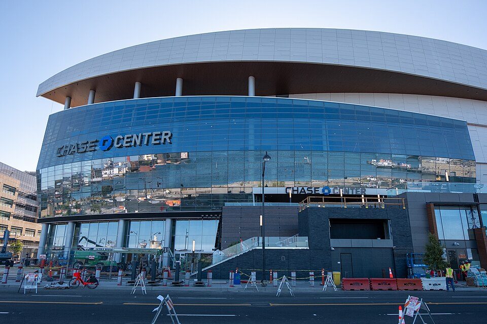
Big draw22 mi Stadium & arenaChase Center
Big draw20 mi MuseumUSS Hornet
Big draw21 mi LandmarkLombard Street
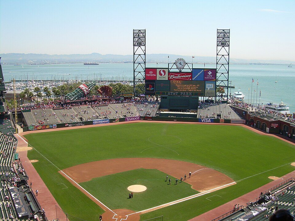
Big draw22 mi Stadium & arenaOracle Park
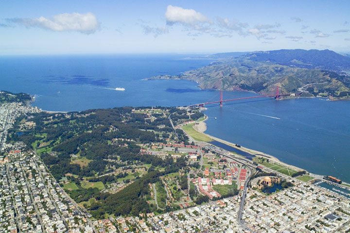
Big draw23 mi GardenPresidio of San FranciscoAlcatraz Federal Penitentiary: druchoy, CC BY-SA 2.0 · Chase Center: Gregory Varnum, CC BY-SA 4.0 · USS Hornet: kitmasterbloke, CC BY 2.0 · Lombard Street: The original uploader was Y6y6y6 at English Wikipedia., Public domain · Oracle Park: User Coasttocoast on en.wikipedia, CC BY-SA 3.0 · Presidio of San Francisco: Robert Campbell, CC BY-SA 3.0
Port Costa is unincorporated, so Contra Costa County and regional agencies provide most services.
EPA SDWIS (Oct 9, 2026) · HIFLD + EIA-861 2025 · Census 2020 ZCTAs · NCES 2024–25 · registration: vote.gov, updated Nov 18, 2024.
17 within 15 miles of the center of Port Costa
About 0 of every 100 Port Costa residents are enrolled in college, against 8 across California.
Place in California, United States
Port Costa is a small town and census-designated place (CDP) in Contra Costa County, California, United States, located in the East Bay region of the San Francisco Bay Area. Situated on the southern shore of the Carquinez Strait, the population was 190 in 2020 according to the United States Census Bureau.
From Wikipedia, licensed CC BY-SA 4.0 · facts via Wikidata (CC0)
Short answers, built from the data on this page.
Port Costa has fewer than 1,000 residents, too few for fair grades; the figures below are still real.
Ask a question, answer one, post a photo or an event. Free, and the parts only a neighbor would know are the parts worth reading.