
Mono Mills, California period photo of mill activity, 1914
Mono City’s story
146 years in pictures
The archive holds 6 old photos and papers going back to 1914 and 3 maps from 1958 on.
- 1880Mono City is settled
Each edition grades its towns against each other only.

A town of 342, settled in 1880.
81% of adults 25 and older hold a bachelor’s degree or more in Mono City, where California’s towns sit at 29% and U.S. towns at 29%. No town among the 848 in California we compare has a higher share of workers working from home than Mono City. 76% of the land in Mono City is conserved, above both the California town median (4.3%) and the median of U.S. towns (4.3%). The biggest park or preserve is Mono Lake Tufa State Natural Reserve, at 470 acres. Mono City has fewer than 1,000 residents, too few for fair grades; the figures below are still real.
In a town this size, neighbors are the best guide. Ask them anything.
The archive holds 6 old photos and papers going back to 1914 and 3 maps from 1958 on.
Museums, parks, gardens and other places to visit around Mono City. Close and well known come first.
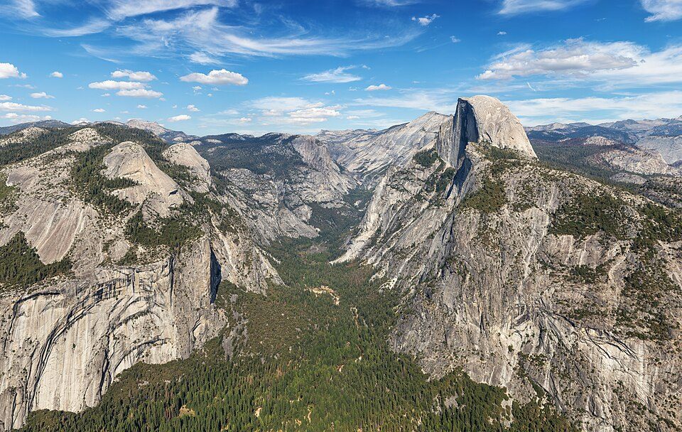 Big draw9 mi National ParkYosemite National Park4.3M visitors a year
 8 mi LakeMono Lake
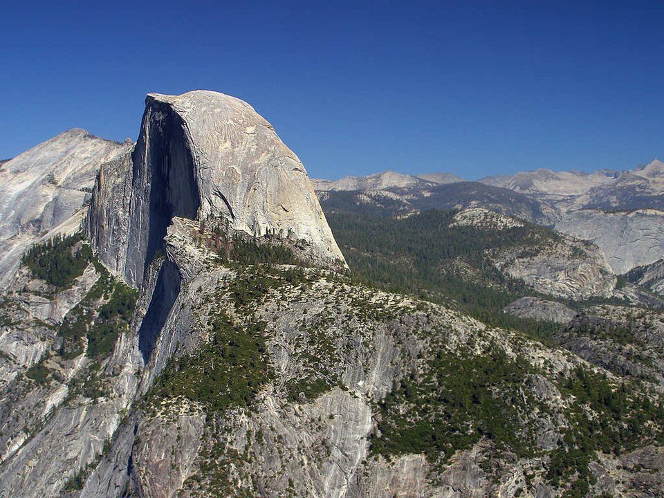 Big draw29 mi MountainHalf Dome
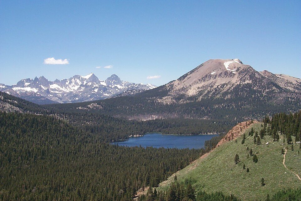 28 mi Ski areaMammoth Mountain153 runs · 2,962 ft vertical
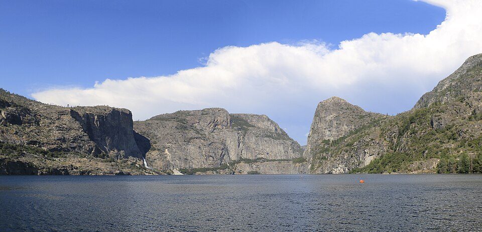 35 mi LakeHetch Hetchy
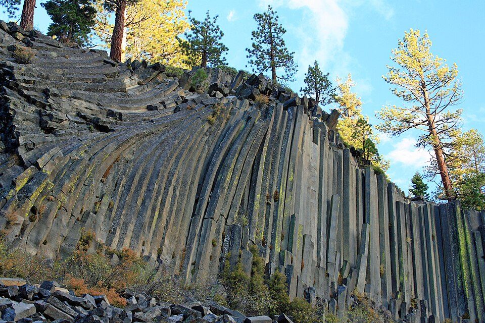 28 mi National MonumentDevils Postpile National Monument100K visitors a year
Yosemite National Park: Thomas Wolf, www.foto-tw.de, CC BY-SA 3.0 · Mono Lake: File:Mono lake sat.jpg: created by NASA Rotation and crop: Hike395, Public domain · Half Dome: Jon Sullivan, Public domain · Mammoth Mountain: Hike395 (talk · contribs), CC BY 3.0 · Hetch Hetchy: Vulpinus2, CC BY-SA 4.0 · Devils Postpile National Monument: Frank Kovalchek from Anchorage, Alaska, USA, CC BY 2.0
Mono City is unincorporated, so Mono County and regional agencies provide most services.
EPA SDWIS (Oct 9, 2026) · HIFLD + EIA-861 2025 · Census 2020 ZCTAs · NCES 2024–25 · registration: vote.gov, updated Nov 18, 2024.
Ordered by what stands out in Mono City.
There are 29 miles of trail across 1 park or preserve. Mono City’s trail density is 3.7 miles per square mile.
| Biggest places to walk | Trails | Acres |
|---|---|---|
| 1. Mono Lake Tufa State Natural Reserve | 0.2 mi | 470 |
Trails & parks © OpenStreetMap contributors · Conserved land: USGS PAD-US
Expected losses in Mono City break down as 38% from inland flooding and 24% from avalanches. Storm and flood damage is expected to run higher than in 97% of U.S. communities. Federal disaster aid has reached households in Mono City once, in 2023.
FEMA disaster declarations and aid · FEMA National Risk Index · OpenFEMA
For half of commuters, work is under 61 miles away. The typical household income for Mono City comes to $109,000. The top destinations are Bridgeport (22%), Mammoth Lakes (8%) and Lee Vining (8%).
Census LEHD 2023 · ACS
The typical July afternoon high in Mono City is 85°F.
NOAA U.S. Climate Normals, 1991–2020
75% of Mono City adults had a checkup this year. Of 32 CDC measures, Mono City beats the California average on 7 and trails it on 6. In Mono City, a third of adults sleep under 7 hours, and 33% feel lonely.
| Mono City | California towns | U.S. towns | |
|---|---|---|---|
| Yearly checkup (CDC PLACES) | 75% | 72% | 79% |
| Sleep under 7 hours (CDC PLACES) | 33% | 35% | 36% |
| Feel lonely (CDC PLACES) | 33% | 36% | 33% |
| Depression (CDC PLACES) | 24% | 22% | 23% |
| What stands out | Mono City | CA |
|---|---|---|
| Fewer uninsured adults | 7.2% | 10.6% |
| Fewer adults facing housing insecurity | 10.7% | 14.9% |
| More adults who have had cancer | 9.8% | 6.4% |
CDC PLACES 2025 · modeled estimates for adults · CMS · HRSA
None within 15 miles of Mono City; the nearest are
About 0 of every 100 Mono City residents are enrolled in college, against 8 across California.
Where Mono City’s working residents go each day. Line width shows the share.
Census LEHD 2023
Former settlement in California, United States
Mono Mills (also Mono) is a ghost town in Mono County, California, United States. It is located 9.5 miles (15 km) east-southeast of Lee Vining, at an elevation of 7356 feet (2242 m). Mono Mills has nearly vanished. Its site is along California State Route 120, 9.1 miles (15 km) east from the junction with U.S. Route 395.
From Wikipedia, licensed CC BY-SA 4.0 · facts via Wikidata (CC0)
Short answers, built from the data on this page.
Mono City has fewer than 1,000 residents, too few for fair grades; the figures below are still real.


