
Luther Menifee Wilson, c. 1890
Menifee’s story
139 years in pictures
The archive holds 24 old photos and papers going back to 1890 and 3 maps from 1942 on.
- 1887Menifee is settled
Each edition grades its towns against each other only.
Menifee is a city of 118,592, and it grades C− overall, 449th among California's 841 graded towns. Its schools outperform 62% of the state's. The trade-offs: FEMA rates its natural-hazard risk higher than 96% of U.S. communities, with inland flooding at the top, and the typical home is worth about $582K, 6.5 years of the Riverside metro’s $90K median household income. Menifee’s average trip to work is 42 minutes, where California’s towns sit at 28 minutes and U.S. towns at 25 minutes. Menifee's civic life (library use, community groups, volunteering) trails 93% of U.S. towns. Menifee Hills Open Space, at 700 acres with 2.4 miles of trail, is the biggest park or preserve.
Where Menifee beats most towns, and one thing worth knowing.
77,519 counted in 2010 and 102,527 in 2020; an estimated 118,592 in 2025.
Growth hasn’t slowed: 15.7% since 2020, after 32.3% in the decade before.
U.S. Census 2010 & 2020 counts · Census Bureau estimate, July 1, 2025
Each subject compared with towns across the country (schools within California), ordered by how far Menifee is from typical.
How TownRatings grades towns →
The archive holds 24 old photos and papers going back to 1890 and 3 maps from 1942 on.
Who provides power, water and the rest in Menifee, and how to reach them.
EPA SDWIS (Oct 9, 2026) · HIFLD + EIA-861 2025 · Census 2020 ZCTAs · NCES 2024–25 · registration: vote.gov, updated Nov 18, 2024.
Ordered by what stands out in Menifee.
Menifee fares better on crime within California than nationally and has a longer frost-free season than nearly all U.S. towns, but it trails even towns with similar incomes on health.
Since 2014, 4 flood insurance claims have been paid out in Menifee.
FEMA flood insurance claims · FEMA National Risk Index · OpenFEMA
| School | Level | Students | Letter |
|---|---|---|---|
| Ethan A Chase MiddleLargest public middle schoolGrades 6–8 | Grades 6–8 | 1,447 | – |
| Paloma Valley HighLargest public high schoolGrades 9–12 | Grades 9–12 | 2,487 | A− |
NCES · EDFacts · graded within CA on state tests
52 miles of trail in 55 parks and preserves. The trail density in Menifee is 1.1 miles per square mile.
| Menifee | California towns | U.S. towns | |
|---|---|---|---|
| Miles of trail per square mile | 1.1 miles per square mile | 1.0 | 0.4 |
| Conserved land | 0.7% | 4.3% | 4.3% |
| Biggest places to walk | Trails | Acres |
|---|---|---|
| 1. Menifee Hills Open Space | 2.4 mi | 700 |
| 2. Heritage Lake Sports Park | 1.3 mi | 29 |
| 3. Spirit Park | 1.2 mi | 8 |
Trails & parks © OpenStreetMap contributors · Conserved land: USGS PAD-US
The average commute for its 39,803 working residents takes 41.5 minutes, against 28.7 across California. Jobs based here grew from 8,988 in 2013 to 15,879.
Most working residents leave Menifee for work: only 8% work in town. Since 2013, Menifee has added 6,891 jobs, to 15,879 in 2023. The top destinations are Temecula (8%), San Diego (8%) and Murrieta (6%).
| Menifee | California towns | U.S. towns | |
|---|---|---|---|
| Work from home | 14% | 14% | 11% |
| Median household income | $93,000 | $95,000 | $80,000 |
Census LEHD 2023 · ACS
70.6% of renter households pay 30% or more of their income for housing, against 55.3% across California.
Menifee’s median rent is $2,110 a month. The typical Menifee home is worth about $582,000, about the same as a year ago, 24% below the California typical home. 71% of Menifee renter households spend 30% or more of their income on rent.
| Menifee | California towns | U.S. towns | |
|---|---|---|---|
| Renters paying 30%+ of income on rent | 71% | 55% | 48% |
| Median rent | $2,110 a month | $1,895 a month | $1,185 a month |
| Households that own their home | 80% | 64% | 73% |
Census ACS, 2020–24 · Zillow Home Value Index · Redfin Data Center
The Elsinore weather station, 9 miles away, records that the frost-free season runs about 329 days, longer than in 96% of U.S. towns. The Elsinore weather station, 9 miles away, records that about 123 days a year reach 90°, more than in 98% of U.S. towns.
Menifee has warm winters and hot summers, with very little rain. July afternoons reach 93°, January nights drop to 41° and snow is almost unheard of.
NOAA U.S. Climate Normals, 1991–2020
At 16.4 crimes per 1,000 residents a year, it reports less crime than 84% of California’s graded towns. Reported crimes fell from 1,535 to 1,150 over the last three FBI years, a drop beyond ordinary year-to-year swings.
FBI crime data, 2025 · crimes reported to police
Against the 9,522 U.S. towns with household incomes like Menifee’s, it is less healthy than 68%, so it trails even them.
Menifee beats the California average on 1 of 32 CDC measures and trails it on 8. 14% of adults binge drink in Menifee.
| Menifee | California towns | U.S. towns | |
|---|---|---|---|
| Binge drink (CDC PLACES) | 14% | 16% | 16% |
| Yearly checkup (CDC PLACES) | 74% | 72% | 79% |
| Obesity (CDC PLACES) | 36% | 29% | 35% |
| Sleep under 7 hours (CDC PLACES) | 38% | 35% | 36% |
| What stands out | Menifee | CA |
|---|---|---|
| More adults screened for colon cancer | 63.2% | 57.5% |
| More adults with arthritis | 27.1% | 20.8% |
CDC PLACES 2025 · modeled estimates for adults · CMS · HRSA
Museums, parks, gardens and other places to visit around Menifee. Close and well known come first.
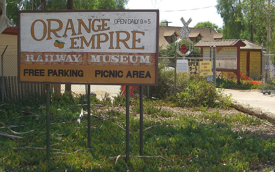 6 mi MuseumOrange Empire Railway Museum
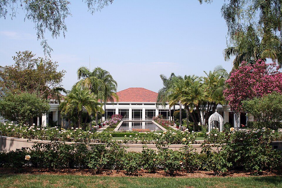 39 mi MuseumRichard Nixon Presidential Library and Museum
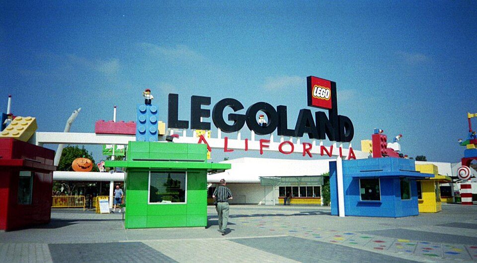 40 mi Theme parkLegoland California
 35 mi MountainSan Gorgonio Mountain
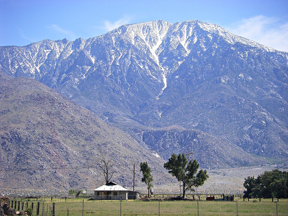 30 mi MountainSan Jacinto Peak
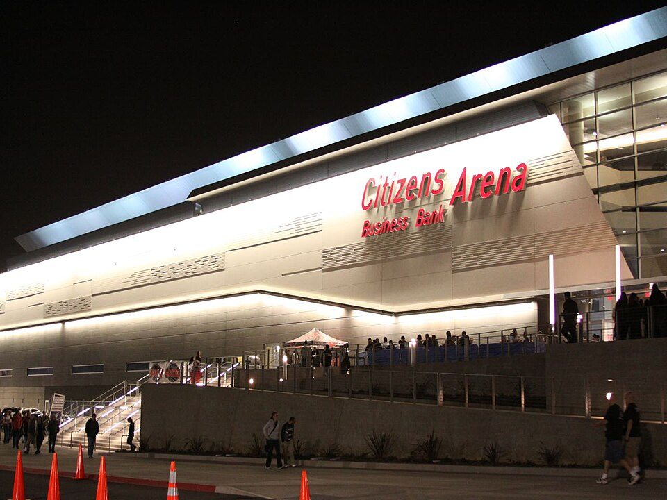 34 mi Stadium & arenaToyota Arena
Orange Empire Railway Museum: The original uploader was Pretzelpaws at English Wikipedia., CC BY-SA 3.0 · Richard Nixon Presidential Library and Museum: The original uploader was Sorcha at English Wikipedia., CC BY-SA 2.5 · Legoland California: https://www.flickr.com/photos/jdigger/, CC BY 2.0 · San Gorgonio Mountain: Doc Searls, CC BY-SA 2.0 · San Jacinto Peak: Wattewyl, CC BY 3.0 · Toyota Arena: jondoeforty1, CC BY 2.0
3 within 15 miles of the center of Menifee
About 6 of every 100 Menifee residents are enrolled in college, against 8 across California.
Where Menifee’s working residents go each day. Line width shows the share.
Census LEHD 2023
City in California, United States
Menifee is a city in Riverside County, California, United States, and is part of the Inland Empire. Named after a local miner, Luther Menifee Wilson, it was settled in the 19th century, and incorporated as a city in 2008. As of the 2020 census, Menifee had a population of 102,527. The city is centrally located in Southern California in the Menifee Valley. It is almost 15 miles (24 km) north of Temecula and just north of Murrieta. Menifee is roughly 46 square miles (100 km2) in size and has an elevation of 1,424 feet (434 m). The incorporated City of Menifee includes the communities of Sun City, Quail Valley, and Romoland.
From Wikipedia, licensed CC BY-SA 4.0 · facts via Wikidata (CC0)
6 towns share a border with Menifee.
| Town | CA rank | Overall | Cost | Safety | Schools | Health |
|---|---|---|---|---|---|---|
| Menifee | #449 | C− | D− | B | B | B− |
| Perris | #709 | D− | D | C− | C+ | C− |
| Canyon Lake | #285 | C+ | D− | A− | B− | B |
| Lake Elsinore | #580 | D | D− | C | B− | C+ |
| Wildomar | #487 | C− | D | B− | B− | B− |
| Murrieta | #202 | B− | D− | B− | A− | B+ |
| Romoland | — | — | C− | — | C | C− |
Romoland has fewer than 2,500 residents, so it gets subject grades but no overall grade. Romoland reports no FBI crime data of its own. Compare Menifee with a neighbor →
Short answers, built from the data on this page.
Menifee grades C− overall, better than 25% of U.S. towns and #449 of 841 in California. It grades B− for health, B for safety and B for schools. Hazard risk is its weak spot, with a D−.


