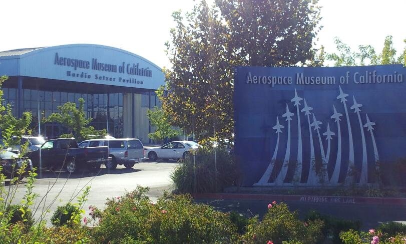
McClellan Park in pictures
The archive holds 7 maps from 1902 on.
1 place on the National Register of Historic Places.
Explore the history →Each edition grades its towns against each other only.

A town of 1,486.
McClellan Park’s best subject grades are an A+ for walkability and an A− for history; its weakest is a D− for cost of living. On history, just 29 of California’s 1,063 towns do better. McClellan Park’s trail density is 0.2 miles per square mile, below both the California town median (1.0) and the median of U.S. towns (0.4). The biggest park or preserve is Freedom Park, at 21 acres. McClellan Park has fewer than 2,500 residents, so it gets subject grades but no overall grade.
Where McClellan Park beats most towns.
In a town this size, neighbors are the best guide. Ask them anything.
Each subject compared with towns across the country (schools within California), ordered by how far McClellan Park is from typical.
How TownRatings grades towns →
The archive holds 7 maps from 1902 on.
1 place on the National Register of Historic Places.
Explore the history →Museums, parks, gardens and other places to visit around McClellan Park. Close and well known come first.
6 mi Stadium & arenaARCO Arena
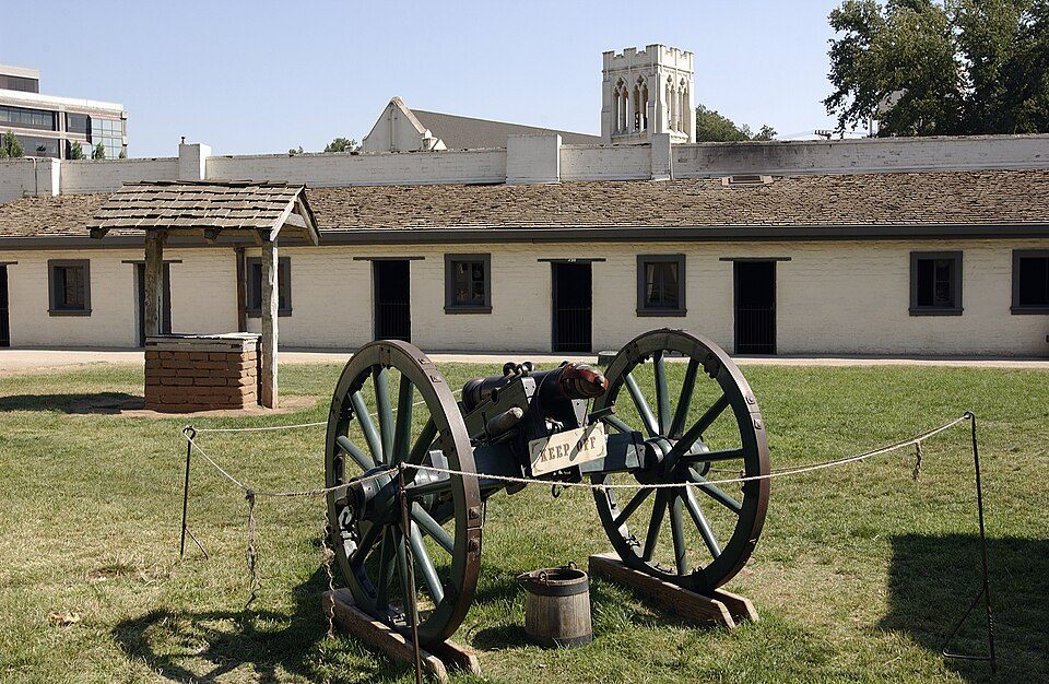
7 mi State parkSutter's Fort
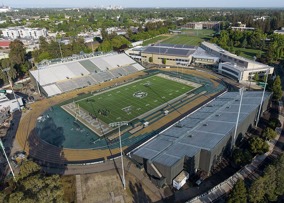
8 mi Stadium & arenaHornet Stadium
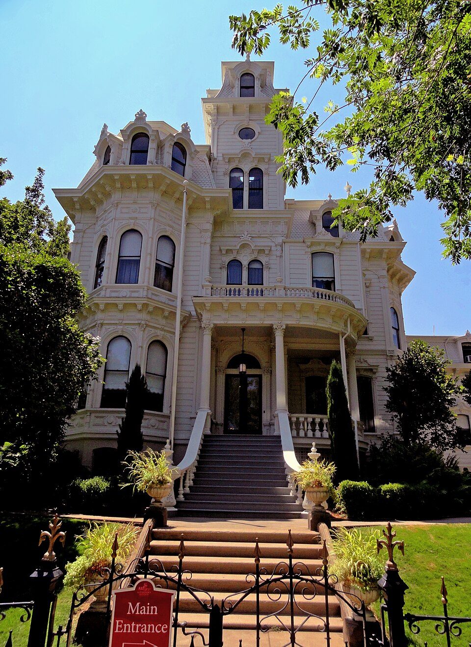
7 mi State parkGovernor's Mansion State Historic Park
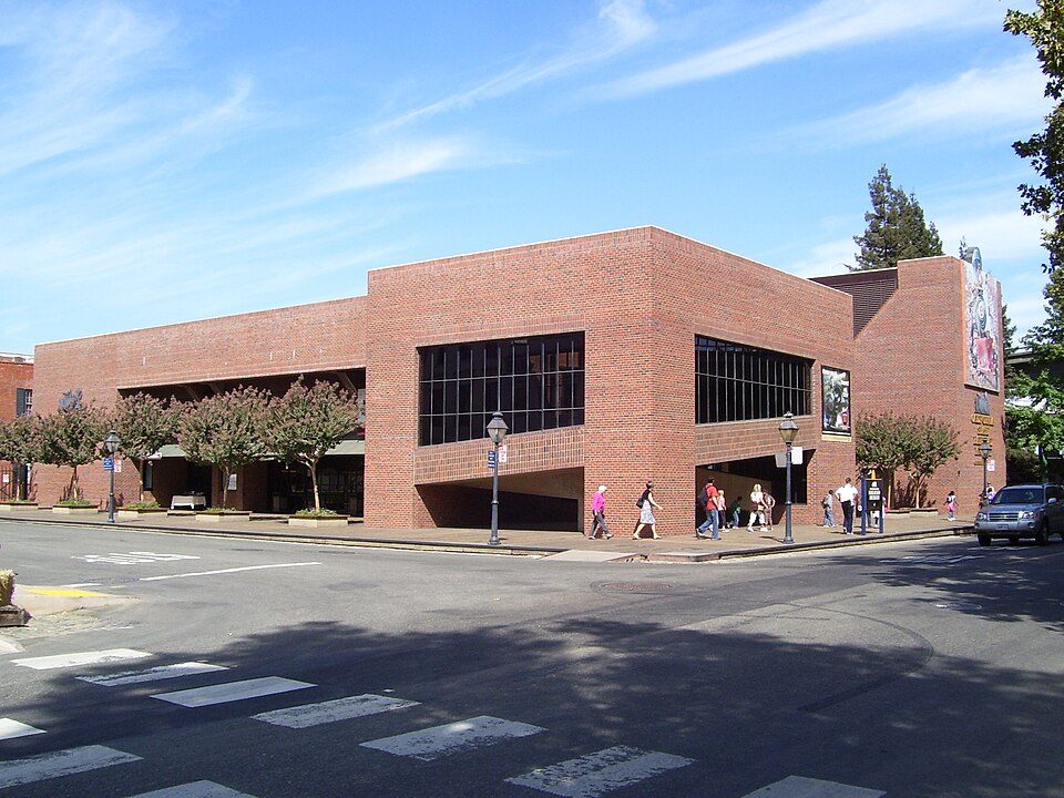
8 mi MuseumCalifornia State Railroad Museum500K visitors a year
8 mi State parkLeland Stanford Mansion State Historic ParkARCO Arena: CLopez63, CC BY-SA 3.0 · Sutter's Fort: Ian Howard, CC BY 2.5 · Hornet Stadium: Quintin Soloviev, CC BY 4.0 · Governor's Mansion State Historic Park: Mark James Miller, CC BY 3.0 · California State Railroad Museum: The original uploader was Swampyank at English Wikipedia., CC BY-SA 3.0 · Leland Stanford Mansion State Historic Park: M.Mierzwa. MCalamari at en.wikipedia, Public domain
McClellan Park is unincorporated, so Sacramento County and regional agencies provide most services.
EPA SDWIS (Oct 9, 2026) · HIFLD + EIA-861 2025 · Census 2020 ZCTAs · NCES 2024–25 · registration: vote.gov, updated Nov 18, 2024.
Ordered by what stands out in McClellan Park.
Half of commuters travel less than 10 miles. Between 2013 and 2023, jobs in McClellan Park rose by 3,812, to 8,265. The top destinations are Sacramento (18%), Roseville (8%) and North Highlands (5%). Commuting out is the norm in the town: 6% of working residents work locally.
| McClellan Park | California towns | U.S. towns | |
|---|---|---|---|
| Below the poverty line | 34% | 10% | 9.6% |
| Average trip to work | 26 minutes | 28 minutes | 25 minutes |
| Working residents who work in town | 5.7% | 6.6% | 8% |
Census LEHD 2023 · ACS
One of its 2 schools is below, with the reason it’s listed. The largest public high school is Community Outreach Academy, with 1,931 students. The public schools here belong to the Community Outreach Academy District.
| School | Level | Students | Letter |
|---|---|---|---|
| Community Outreach AcademyLargest public high schoolGrades K–12 | Grades K–12 | 1,931 | – |
NCES · EDFacts · graded within CA on state tests and graduation
Of the losses FEMA expects in McClellan Park, 59% come from earthquakes and 39% from inland flooding. Expected storm and flood damage is lower than in 88% of U.S. communities.
FEMA National Risk Index · OpenFEMA
19% of adults smoke cigarettes in McClellan Park. Of 32 CDC measures, McClellan Park beats the California average on 2 and trails it on 22. In McClellan Park, 45% of adults sleep under 7 hours, and 43% feel lonely. Among 848 California towns, just 10 have a higher share of adults who have been diagnosed with depression than McClellan Park.
| McClellan Park | California towns | U.S. towns | |
|---|---|---|---|
| Frequent mental distress (CDC PLACES) | 23% | 17% | 17% |
| Sleep under 7 hours (CDC PLACES) | 45% | 35% | 36% |
| Feel lonely (CDC PLACES) | 43% | 36% | 33% |
| Yearly checkup (CDC PLACES) | 67% | 72% | 79% |
| What stands out | McClellan Park | CA |
|---|---|---|
| Fewer adults who have had cancer | 4.9% | 6.4% |
| Fewer adults with high cholesterol | 31% | 35.4% |
| More adults facing a utility shut-off | 14.7% | 7.3% |
CDC PLACES 2025 · modeled estimates for adults · CMS · HRSA
The midsummer high for McClellan Park comes to 95°F.
NOAA U.S. Climate Normals, 1991–2020
Count the trails in 1 park or preserve and they come to 0.6 miles.
| Biggest places to walk | Trails | Acres |
|---|---|---|
| 1. Freedom Park | 0.5 mi | 21 |
Trails & parks © OpenStreetMap contributors · Conserved land: USGS PAD-US
10 within 15 miles of the center of McClellan Park
About 12 of every 100 McClellan Park residents are enrolled in college, against 8 across California.
Where McClellan Park’s working residents go each day. Line width shows the share.
Census LEHD 2023
Census-designated place in California, United States
McClellan Park is a census-designated place (CDP) in Sacramento County, California, United States. McClellan Park sits at an elevation of 69 feet (21 m). The 2020 United States census reported that McClellan Park's population was 926. It is the site of the former McClellan Air Force Base, closed by the federal government in 2001. McClellan Air Force Base (currently McClellan Park) was named in honor of test pilot Hezekiah McClellan.
From Wikipedia, licensed CC BY-SA 4.0 · facts via Wikidata (CC0)