
Rosebud Ranch · National Register of Historic Places
Hood’s story
114 years in pictures
The archive holds 5 maps from 1908 on.
1 place on the National Register of Historic Places.
- 1912Hood is settled
Each edition grades its towns against each other only.
Home to 317 people, the town was settled in 1912.
8.2% of adults 25 and older hold a bachelor’s degree or more in Hood, against 29% in California’s towns and 29% across U.S. towns. Rosebud Ranch is on the National Register of Historic Places. Hood has fewer than 1,000 residents, too few for fair grades; the figures below are still real.
The archive holds 5 maps from 1908 on.
1 place on the National Register of Historic Places.
In a town this size, neighbors are the best guide. Ask them anything.
Ordered by what stands out in Hood.
The top destinations are Sacramento (15%), Stockton (10%) and Walnut Grove (5%). Half the trips to work are shorter than 24 miles. In Hood, 12% of residents live below the poverty line.
Census LEHD 2023 · ACS
On expected storm and flood damage, Hood sits above 69% of U.S. communities. Expected losses in Hood break down as 65% from drought and 25% from earthquakes. Also worth knowing: households in the town have drawn federal disaster aid once, in 2022.
FEMA National Risk Index · OpenFEMA
July afternoons reach 93°, January nights drop to 39° and snow is almost unheard of.
NOAA U.S. Climate Normals, 1991–2020
16% of Hood adults report frequent physical distress. This California town does better than the California average on 1 of 32 CDC measures and worse on 4.
| Hood | Typical California town | Typical U.S. town | |
|---|---|---|---|
| Yearly checkup (CDC PLACES) | 71% | 72% | 79% |
| Fair or poor health (CDC PLACES) | 26% | 22% | 19% |
| No health insurance, 18–64 (CDC PLACES) | 13% | 9% | 8.1% |
| Frequent physical distress (CDC PLACES) | 16% | 14% | 14% |
| What stands out | Hood | CA |
|---|---|---|
| More adults screened for colon cancer | 62.5% | 57.5% |
| More adults with COPD | 6.4% | 5.1% |
CDC PLACES 2025 · modeled estimates for adults · CMS · HRSA
There are 0.1 miles of trail across 2 parks and preserves. The concentration of trails in Hood is 0.3 miles per square mile. Together, the parks and preserves in Hood cover 19 acres.
| Hood | Typical California town | Typical U.S. town | |
|---|---|---|---|
| Miles of trail per square mile | 0.3 miles per square mile | 1.0 | 0.4 |
| Conserved land | 4.6% | 4.3% | 4.3% |
| Biggest places to walk | Trails | Acres |
|---|---|---|
| 1. Old Sacramento State Historic Park | — | 18 |
| 2. Stone Lakes National Wildlife Refuge | — | 1 |
Trails & parks © OpenStreetMap contributors · Conserved land: USGS PAD-US
Museums, parks, gardens and other places to visit around Hood. Close and well known come first.
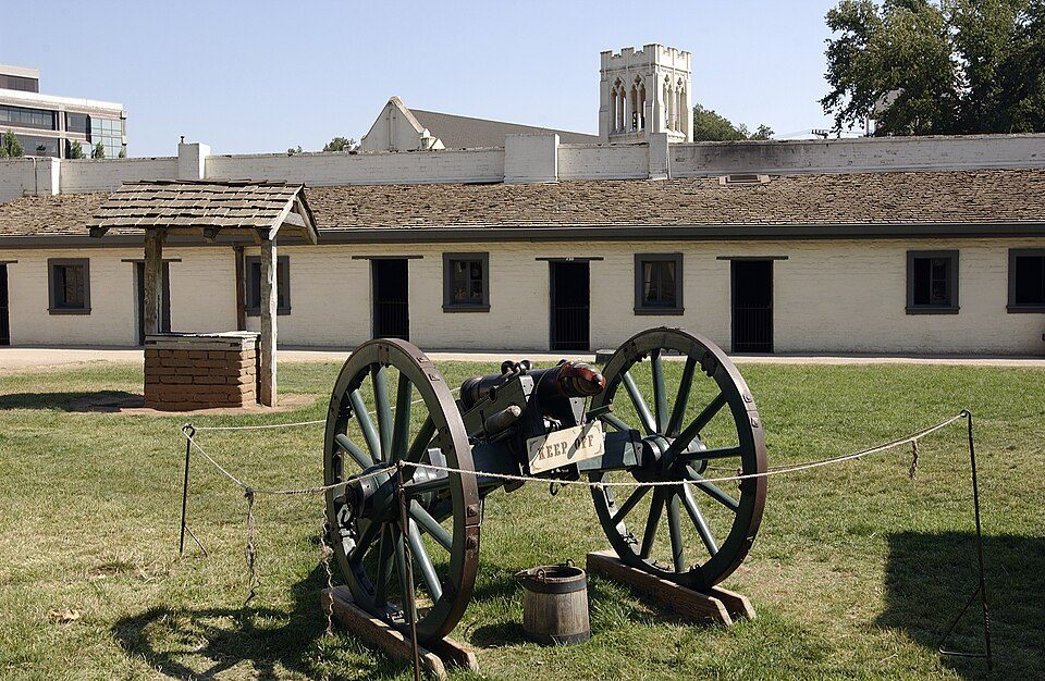 14 mi State parkSutter's Fort
 19 mi Stadium & arenaARCO Arena
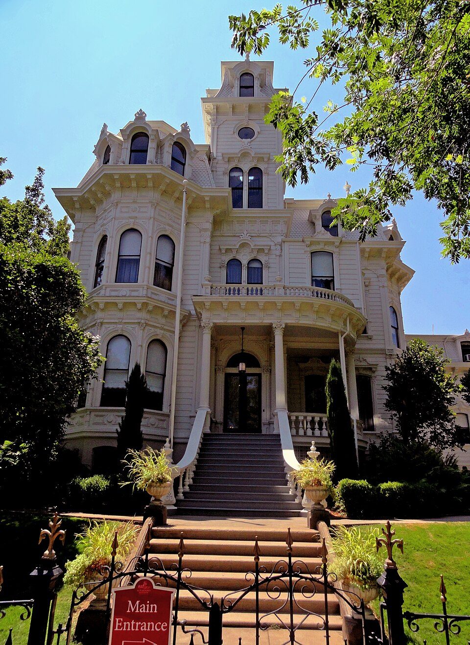 15 mi State parkGovernor's Mansion State Historic Park
 14 mi Stadium & arenaHornet Stadium
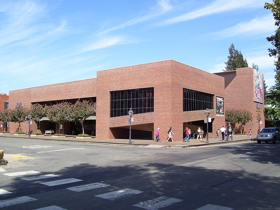 15 mi MuseumCalifornia State Railroad Museum500K visitors a year
 14 mi State parkLeland Stanford Mansion State Historic Park
Sutter's Fort: Ian Howard, CC BY 2.5 · ARCO Arena: CLopez63, CC BY-SA 3.0 · Governor's Mansion State Historic Park: Mark James Miller, CC BY 3.0 · Hornet Stadium: Quintin Soloviev, CC BY 4.0 · California State Railroad Museum: The original uploader was Swampyank at English Wikipedia., CC BY-SA 3.0 · Leland Stanford Mansion State Historic Park: M.Mierzwa. MCalamari at en.wikipedia, Public domain
Hood is unincorporated, so Sacramento County and regional agencies provide most services.
EPA SDWIS (Oct 9, 2026) · HIFLD + EIA-861 2025 · Census 2020 ZCTAs · NCES 2024–25 · registration: vote.gov, updated Nov 18, 2024.
Where Hood’s working residents go each day. Line width shows the share.
Census LEHD 2023
4 within 15 miles of the center of Hood
About 12 of every 100 Hood residents are enrolled in college, against 8 across California.
Census-designated place in California, United States
Hood is a census-designated place in Sacramento County, California, United States. As of the 2020 census, Hood had a population of 244. Hood is located on the Sacramento River and California State Route 160 15 miles (24 km) south of downtown Sacramento. Hood has a post office with ZIP code 95639 that was established in 1912.
From Wikipedia, licensed CC BY-SA 4.0 · facts via Wikidata (CC0)
Short answers, built from the data on this page.
Hood has fewer than 1,000 residents, too few for fair grades; the figures below are still real.
Ask a question, answer one, post a photo or an event. Free, and the parts only a neighbor would know are the parts worth reading.


