Escondido’s post office opened in 1884, and 5 of its places are on the National Register
More historic than 35% of U.S. towns · #278 of 847 in California. What drives it
Most of Escondido was built recently: 2% of its homes predate 1940 and the median home dates from 1981. Below: maps from 1892 on and the census since 1890.
The Escondido post office opened in 1884, the earliest record of the town by name. Wikidata gives 1888. Another post office, Apex (1881), opened inside today’s city and later closed.
First census: 541 in 18902020 census: 151,038142 years
How historic is Escondido?
C+
More historic than 35% of U.S. towns, on its age, its old homes and the National Register.
Founding year: the first Escondido post office (Blevins & Helbock, CC0). Wikidata: 1888.The full story ↓
History grade
What drives Escondido’s History grade
On its age, its old homes and the National Register, Escondido is more historic than 35% of U.S. towns, #278 of 847 in California. Its National Register listings hold the grade up; its share of homes from before 1940 pulls it down.
C+
HistoryA character grade: shown, never part of Escondido’s overall grade.
Among the 400 U.S. cities of 100,000 or more, Escondido ranks #282 on History.
Few California towns list much on the Register (a typical California town has 0.0 per 10,000 residents, the U.S. 2.4), so Escondido’s 0.3 sits above most of its state (68% of California towns have fewer) while its 5 listings outnumber those of 70% of U.S. towns.
Newer cities are common at Escondido’s size: in the typical U.S. city of 100,000 or more, 5% of homes predate 1940.
How sure. Graded on any two of the three inputs instead, the letter would range from C− to B−. The pre-1940 share (±0.4 points) is firm at this size. The founding year is the first post office, not a stated founding date; Wikidata’s 1888 falls in the same era, so the grade doesn’t depend on which one is used.
Founding year: the first post office (other dates in Quick answers). Homes: Census ACS 2020–24. National Register: National Park Service, May 2026 list; each listing counted once (boundary changes and added documentation belong to their listing), and a historic district counts its contributing buildings. How TownRatings grades history →
What stands out about Escondido’s past
Read from the archive, the National Register and the record. The page puts what stands out first.
Lost post offices, old corners, places now gone and burying grounds
Escondido’s post office has been open since 1884. Another post office, Apex, opened and closed inside today’s town.
Apex
1881–1884
Escondido
1884–today
18801950today
Hamlets and corners on the map
Bellview Park Mobile Home ParkCanyon Crest Mobile Home ParkCarefree Ranch Mobile Home ParkCasa de Amigos Mobile Home ParkCasa Grande Estates Mobile Home ParkCitrus Gardens Mobile Home ParkEscondido Terrace Mobile Home ParkFriendly Hills Manor Mobile Home ParkGreen Tree Estates Mobile Home ParkGreencrest Park Mobile Home ParkHidden Vale Mobile Home ParkImperial Escondido Estates Mobile Home ParkLake Bernardo Estates Mobile Home ParkMobile Haven Mobile Home ParkMobile Park West Mobile Home ParkMoonglow Mobile Home ParkPalomar Park Mobile Home ParkPonderosa Club Mobile Home ParkRancho Escondido Mobile Home ParkSundance Mobile Home ParkSunset Terrace Mobile Home ParkThe Views Mobile Home ParkVilla Madeira Mobile Home ParkVista Verde Estates Mobile Home Park
Gone or out of use
Rincon Schoolschool
1cemetery inside Escondido
Oak Hill Memorial Park
US Post Offices dataset (Blevins & Helbock, CC0). Places and cemeteries from the USGS Geographic Names Information System (2021).
Help out
Start Escondido’s collection
The first neighbors to add old photos shape how Escondido’s history is told.
Decades since 1900 with photos
00s10s20s30s40s50s60s70s80s90s
0 of 10 decades. The empty ones are waiting for someone’s album.
The Escondido area was first settled by the Luiseño, who established campsites and villages along the creek running through the area. They named the place Mixéelum Pompáwvo or "Mehel-om-pom-pavo." The Luiseno also had another village north of Mixéelum Pompáwvo called Panakare. The Kumeyaay migrated from areas near the Colorado River, settling both in San Pasqual Valley and near the San Dieguito River in the southwestern and western portions of what is now Escondido. Most of the villages and campsites today have been destroyed by development and agriculture.
Fire insurance maps drew every building, what it was made of and what it was used for, so insurers could price the risk of fire. Pick a year, then a sheet.
The Escondido post office opened in 1884, the earliest record of the town by name (U.S. post office records). Wikidata gives 1888.
How does Escondido rank for history?
Escondido is more historic than 35% of U.S. towns, #278 of 847 in California. The History grade combines the town’s founding era, the share of homes built before 1940 and its National Register listings. It’s a character grade, so it isn’t part of the overall grade. How it works.
What is on the National Register in Escondido?
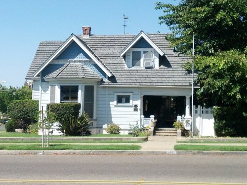
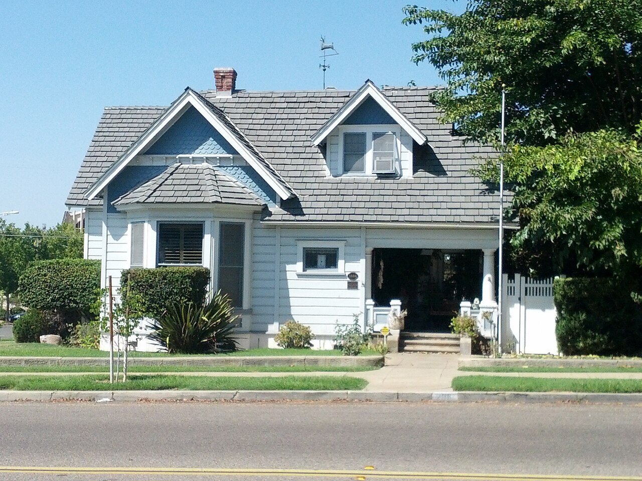
5 listings: 5 buildings, among them the Howell House (listed 1992, the first).
How old are the homes in Escondido?
2% of Escondido’s homes were built before 1940 (Census estimate), against a typical 3.4% for a California town; the median home was built in 1981.
Founding dates: Wikidata, Wikipedia, the U.S. post office records of Blevins & Helbock (CC0) and the Census. Homes by year built: Census ACS 2020–24. National Register of Historic Places: National Park Service (list of May 22, 2026). Old photos, postcards and papers: Wikimedia Commons, the Library of Congress and other public archives, credited on each item’s page. Maps: U.S. Geological Survey historical topographic maps (via Esri) and Sanborn fire-insurance maps (Library of Congress). History text and census tables: Wikipedia (CC BY-SA 4.0). Places that used to be: USGS Geographic Names Information System (2021).
From Wikimedia Commons (11), Wikidata (1), the National Register of Historic Places (5), Wikipedia, Wikidata and Wikipedia for famous people, U.S. Geological Survey historical maps, U.S. Census counts (via Wikipedia), the US Post Offices dataset (Blevins & Helbock), the USGS Geographic Names Information System and Sanborn fire insurance maps (Library of Congress). Archive images are copied here with their credits and licenses, shown on each photo’s page. Refreshed monthly.



 2019
 2019
 2019
 2019
 2019
 2019
 2019
 2019
 2019
 2019
 2019