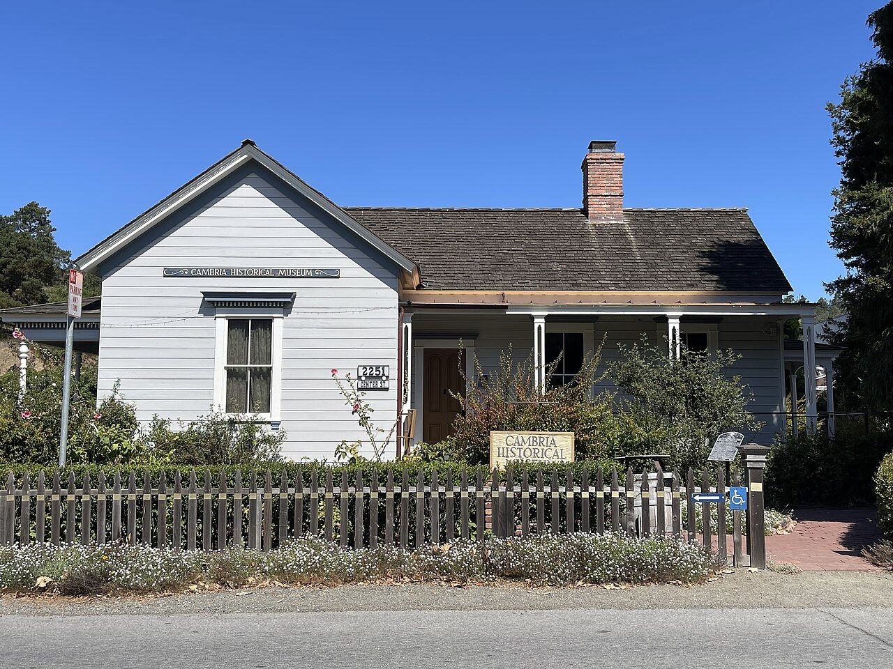
156 years in pictures
Census counts: 1,716 in 1970, 5,678 in 2020. The archive holds 6 old photos and papers going back to 1930 and 3 maps from 1919 on.
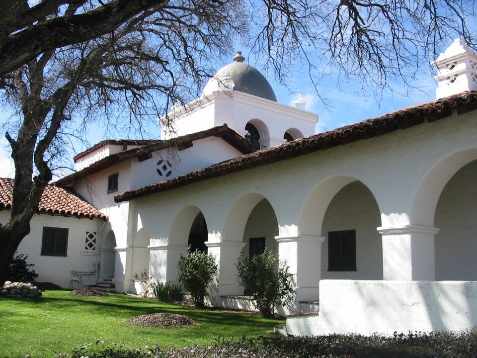
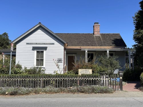
2 places on the National Register of Historic Places.
- 1870Cambria is settled
Each edition grades its towns against each other only.

A town of 5,978, settled in 1870.
Cambria's standout: it has 28 miles of trail. Overall it grades C−, 541st among California's 841 graded towns. It is more walkable than 88% of U.S. towns. Its weakest subject is cost of living: homes are expensive, about $997K for a typical one and 10.2 times the San Luis Obispo metro’s $97K median household income. 45% of residents are 65 or older in Cambria, against 16% in California’s towns and 18% across U.S. towns. Cambria has 2 places on the National Register of Historic Places, among them Guthrie House.
Where Cambria beats most towns.
| Widest gap | Cambria | CA |
|---|---|---|
| Fewer adults facing housing insecurity | 7.5% | 14.9% |
21% of the town is conserved land, across 9 parks and preserves.
Each subject compared with towns across the country (schools within California), ordered by how far Cambria is from typical.
How TownRatings grades towns →
Census counts: 1,716 in 1970, 5,678 in 2020. The archive holds 6 old photos and papers going back to 1930 and 3 maps from 1919 on.
2 places on the National Register of Historic Places.
Cambria is unincorporated, so San Luis Obispo County and regional agencies provide most services.
EPA SDWIS (Oct 9, 2026) · HIFLD + EIA-861 2025 · Census 2020 ZCTAs · NCES 2024–25 · registration: vote.gov, updated Nov 18, 2024.
Ordered by what stands out in Cambria.
Cambria is a second-home town and has fewer 90° days than nearly all U.S. towns, but it is a long drive from an emergency room.
The biggest place to walk is Norris Rancho Marino Reserve, 519 acres with 2.4 miles of trail. In Cambria, the trail density is 3.4 miles per square mile. 9 parks and preserves cover 606 acres here.
| Cambria | California towns | U.S. towns | |
|---|---|---|---|
| Miles of trail per square mile | 3.4 miles per square mile | 1.0 | 0.4 |
| Conserved land | 21% | 4.2% | 4.3% |
| Biggest places to walk | Trails | Acres |
|---|---|---|
| 1. Norris Rancho Marino Reserve | 2.4 mi | 519 |
| 2. Moon Stone Beach Park | 0.4 mi | 35 |
| 3. Santa Rosa Creek Natural Preserve | — | 34 |
Trails & parks © OpenStreetMap contributors · Conserved land: USGS PAD-US
Its one school is below. 112 students attend Cambria’s public school.
| School | Level | Students | Letter |
|---|---|---|---|
| Santa Lucia MiddleLargest public middle schoolGrades 6–8 | Grades 6–8 | 112 | C+ |
NCES · EDFacts · graded within CA on state tests and graduation
At 10.2 years of the San Luis Obispo metro’s $97K median household income, the typical home (about $997K) costs more against local pay than in 78% of California towns; that ratio is one input to that grade. 72% of renter households pay 30% or more of their income for housing, against 55.3% across California.
Values rose 3.5% in the 12 months to September 2026. 72% of Cambria renter households spend 30% or more of their income on rent. The rent at the middle of the market for Cambria comes to $1,924 a month.
| Cambria | California towns | U.S. towns | |
|---|---|---|---|
| Renters paying 30%+ of income on rent | 72% | 55% | 48% |
| Median rent | $1,924 a month | $1,895 a month | $1,185 a month |
| Households that own their home | 78% | 64% | 73% |
Census ACS, 2020–24 · Zillow Home Value Index · Redfin Data Center
Federal aid has come to Cambria households in 3 declared disasters; the latest was in 2023. Storm and flood damage is expected to run higher than in nearly three quarters of U.S. communities. FEMA puts 64% of the town’s expected hazard losses down to inland flooding, and 26% to earthquakes. 24 flood insurance claims have been paid in the town since 1983.
FEMA disaster declarations and aid · FEMA flood insurance claims · FEMA National Risk Index · OpenFEMA
The nearest emergency room, Adventist Health Twin Cities, is 20.5 miles away in a straight line.
Among adults in Cambria, 26% have obesity. This California town does better than the California average on 16 of 32 CDC measures and worse on 7. 43% of adults here have high blood pressure; 13% report frequent mental distress.
| Cambria | California towns | U.S. towns | |
|---|---|---|---|
| Binge drink (CDC PLACES) | 12% | 16% | 16% |
| High blood pressure (CDC PLACES) | 43% | 31% | 35% |
| Frequent mental distress (CDC PLACES) | 13% | 17% | 17% |
| Sleep under 7 hours (CDC PLACES) | 28% | 35% | 36% |
| What stands out | Cambria | CA |
|---|---|---|
| Fewer adults facing housing insecurity | 7.5% | 14.9% |
| Fewer adults facing food insecurity | 9.5% | 17.9% |
| More adults who have had cancer | 14.4% | 6.4% |
CDC PLACES 2025 · modeled estimates for adults · CMS · HRSA
The Morro Bay Fire Dept weather station, 19 miles away, records that about 1 days a year reach 90°, fewer than in 96% of U.S. towns. January nights average 46°, milder than in 97% of U.S. towns; July afternoons average 67.7°.
Snow almost never falls. The July high here is 68°F.
| Cambria | California towns | U.S. towns | |
|---|---|---|---|
| July high | 68°F | 89°F | 85°F |
| January low | 46°F | 40°F | 22°F |
NOAA U.S. Climate Normals, 1991–2020
The average commute for its 1,873 working residents takes 21.4 minutes, against 28.7 across California.
Half the trips to work are shorter than 25 miles. For working residents in Cambria, the share who work locally is 35%. The top destinations are San Luis Obispo (7%), Los Angeles (4%) and El Paso de Robles (Paso Robles) (3%). The town’s mean commuting time is 21 minutes.
| Cambria | California towns | U.S. towns | |
|---|---|---|---|
| Working residents who work in town | 35% | 6.6% | 8% |
| Average trip to work | 21 minutes | 28 minutes | 25 minutes |
| Median household income | $99,000 | $95,000 | $80,000 |
Census LEHD 2023 · ACS
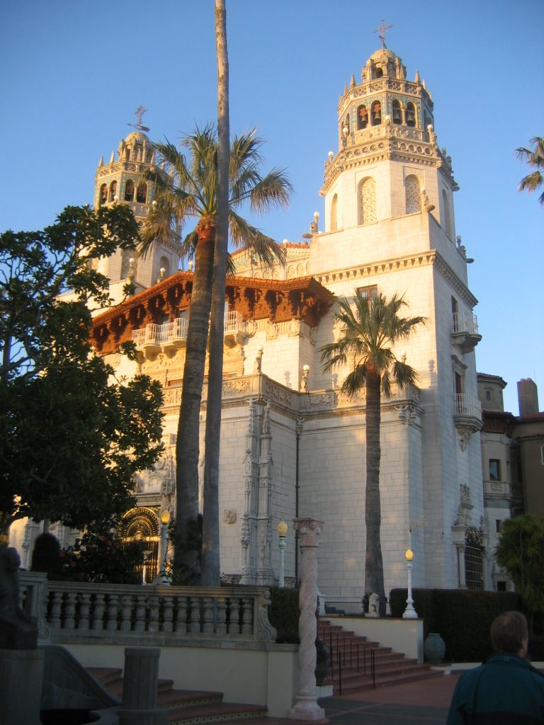
Museums, parks, gardens and other places to visit around Cambria. Close and well known come first.
Big draw10 mi State parkHearst Castle
29 mi LandmarkFort Hunter Liggett18 mi LandmarkLanding of the first Filipinos
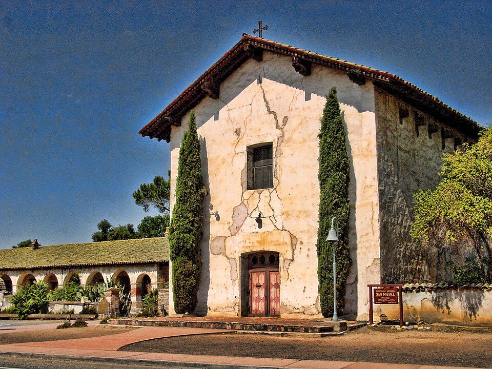
25 mi MuseumMission San Miguel Arcángel
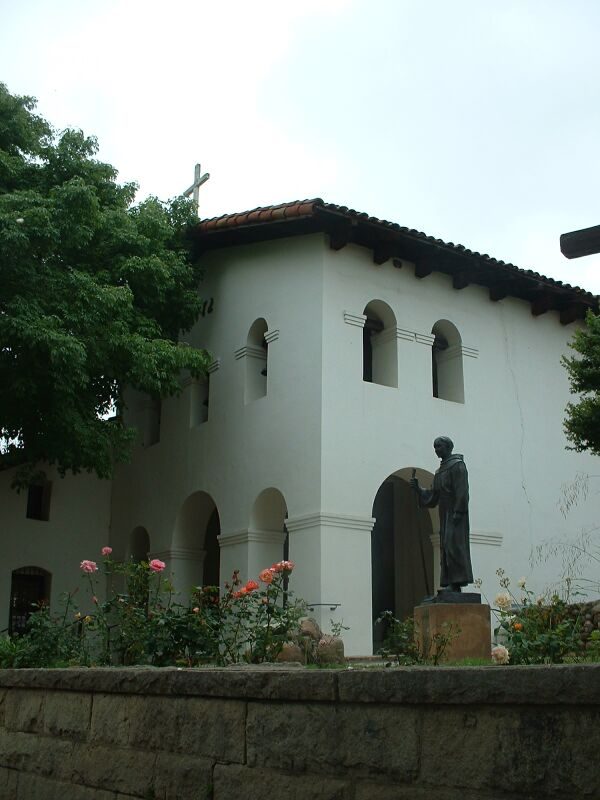
30 mi MuseumMission San Luis Obispo de Tolosa
24 mi State parkMontaña de Oro State ParkHearst Castle: No machine-readable author provided. Urban~commonswiki assumed (based on copyrig, CC BY-SA 3.0 · Fort Hunter Liggett: Binksternet, Public domain · Mission San Miguel Arcángel: Jsweida, CC BY-SA 3.0 · Mission San Luis Obispo de Tolosa: Stephen Lea, CC BY-SA 3.0 · Montaña de Oro State Park: BorisFromStockdale, CC BY-SA 3.0
None within 15 miles of Cambria; the nearest are
About 3 of every 100 Cambria residents are enrolled in college, against 8 across California.
2 places in Cambria on the National Register of Historic Places.
Census-designated place in California
Cambria is an unincorporated community on the Central Coast of California, in San Luis Obispo County, United States. It lies along State Route 1, south of San Simeon. For statistical purposes, the United States Census Bureau has defined Cambria as a census-designated place (CDP). Its population was 5,678 at the 2020 census, down from 6,032 in 2010. The surrounding coast is associated with the histories of the Chumash and Salinan peoples. Recovered implements include spear points and arrowheads of obsidian, mortars and pestles of basalt, sandstone and granite, and soapstone kettles and stone hammers. The nineteenth-century town developed around lumbering, ranching, and mercury mining. Touris…
From Wikipedia, licensed CC BY-SA 4.0 · facts via Wikidata (CC0)
Short answers, built from the data on this page.
Cambria grades C− overall, better than 15% of U.S. towns and #541 of 841 in California. It grades B+ for health and C+ for schools. Cost of living is its weak spot, with a D−.