Bethel IslandCA
Home to 1,864 people, the town was settled in 1947.
Is Bethel Island a good place to live?
Bethel Island’s weakest subject grade is a D− for hazard risk. 35% of residents live below the poverty line in Bethel Island, against 10% in California’s towns and 9.6% across U.S. towns. On walkability, just 48 of California’s 1,063 towns do worse. On history, just 39 of California’s 1,063 towns do worse. Bethel Island has fewer than 2,500 residents, so it gets subject grades but no overall grade.
98% of working residents leave Bethel Island for work
Where Bethel Island’s working residents go each day. Line width shows the share.
Census LEHD 2023
How Bethel Island grades
Each subject compared with towns across the country (schools within California), ordered by how far Bethel Island is from typical.
How TownRatings grades towns →
Moving to Bethel Island: who provides what
Bethel Island is unincorporated, so Contra Costa County and regional agencies provide most services.
EPA SDWIS (Oct 9, 2026) · HIFLD + EIA-861 2025 · Census 2020 ZCTAs · NCES 2024–25 · registration: vote.gov, updated Nov 18, 2024.
The data
Ordered by what stands out in Bethel Island.
Natural hazards: very high risk in Bethel Island, mostly inland flooding
Households in Bethel Island have drawn federal disaster aid in 2 declared disasters, most recently in 2022. On expected storm and flood damage, Bethel Island sits above 94% of U.S. communities. Since 1978, Bethel Island has seen 19 flood insurance claims paid out. Expected losses in Bethel Island break down as 55% from inland flooding and 26% from earthquakes.
FEMA disaster declarations and aid · FEMA flood insurance claims · FEMA National Risk Index · OpenFEMA
Most of Bethel Island’s workers head elsewhere: there are 0.2 jobs for each of them
The top destinations are San Francisco (9%), Brentwood (6%) and Oakley (5%). Most working residents leave Bethel Island for work: only 2% work in town. The town’s typical household income is $75,000. Half commute less than 33 miles.
| Bethel Island | California towns | U.S. towns | |
|---|---|---|---|
| Working residents who work in town | 2% | 6.6% | 8% |
| Median household income | $75,000 | $95,000 | $80,000 |
Where working residents work
Census LEHD 2023 · ACS
Mild winters and hot summers: that is Bethel Island’s year
The July high for Bethel Island comes to 91°F.
Typical low → high °F
NOAA U.S. Climate Normals, 1991–2020
The typical home in Bethel Island: about $650K
For Bethel Island, the typical rent is $1,606 a month. 64% of households are owner-occupiers locally.
| Bethel Island | California towns | U.S. towns | |
|---|---|---|---|
| Median rent | $1,606 a month | $1,896 a month | $1,185 a month |
| Households that own their home | 64% | 64% | 73% |
Typical home value
Census ACS, 2020–24 · Zillow Home Value Index · Redfin Data Center
Health in Bethel Island trails 59% of U.S. towns
Among adults in Bethel Island, 14% have diabetes. CDC measures, 32 in all: Bethel Island beats California on 8 and trails on 9.
| Bethel Island | California towns | U.S. towns | |
|---|---|---|---|
| High blood pressure (CDC PLACES) | 39% | 31% | 35% |
| Frequent physical distress (CDC PLACES) | 16% | 14% | 14% |
| Diabetes (CDC PLACES) | 14% | 12% | 12% |
| Yearly checkup (CDC PLACES) | 75% | 72% | 79% |
| What stands out | Bethel Island | CA |
|---|---|---|
| Fewer uninsured adults | 8% | 10.6% |
| Fewer adults facing housing insecurity | 11.7% | 14.9% |
| More adults who have had cancer | 10.3% | 6.4% |
CDC PLACES 2025 · modeled estimates for adults · CMS · HRSA
0% of Bethel Island is conserved land
2.3 miles of trail. The trail density in Bethel Island is 0.4 miles per square mile.
Trails & parks © OpenStreetMap contributors · Conserved land: USGS PAD-US
Mount Diablo and 87 more within 40 miles
Museums, parks, gardens and other places to visit around Bethel Island. Close and well known come first.
 19 mi MountainMount Diablo
 37 mi Stadium & arenaOakland Arena
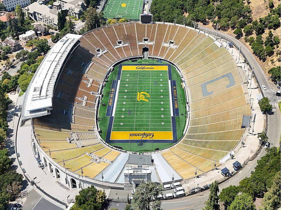 36 mi Stadium & arenaCalifornia Memorial Stadium
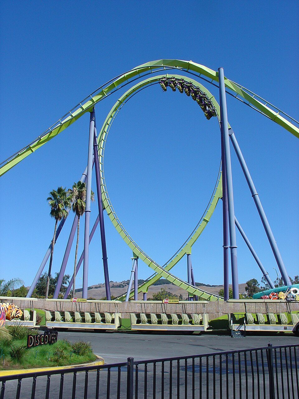 34 mi Theme parkSix Flags Discovery Kingdom
 38 mi Theme parkChildren's Fairyland
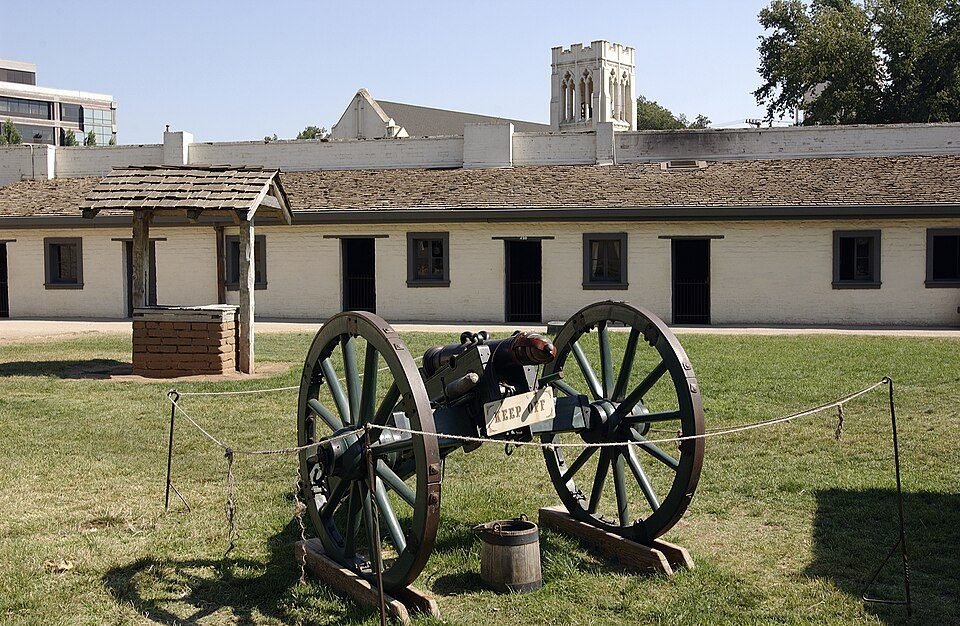 39 mi State parkSutter's Fort
Photo credits
Mount Diablo: Trurl66, Public domain · Oakland Arena: Mike Disharoon, CC BY-SA 2.0 · California Memorial Stadium: Quintin Soloviev, CC BY 4.0 · Six Flags Discovery Kingdom: Tinned Elk, CC BY-SA 3.0 · Children's Fairyland: Wordworking, CC BY-SA 4.0 · Sutter's Fort: Ian Howard, CC BY 2.5


Everything we know about Bethel Island
Colleges nearby
1 within 15 miles of the center of Bethel Island
About 5 of every 100 Bethel Island residents are enrolled in college, against 8 across California.
Questions about Bethel Island
Short answers, built from the data on this page.
Is Bethel Island, CA expensive?
That is 4.8 years of the area's median household income ($136,027 across the San Francisco-Oakland-Fremont, CA metro area). Cost of living, which also weighs rents, property taxes and how many households pay 30% or more of their income for housing, grades C.