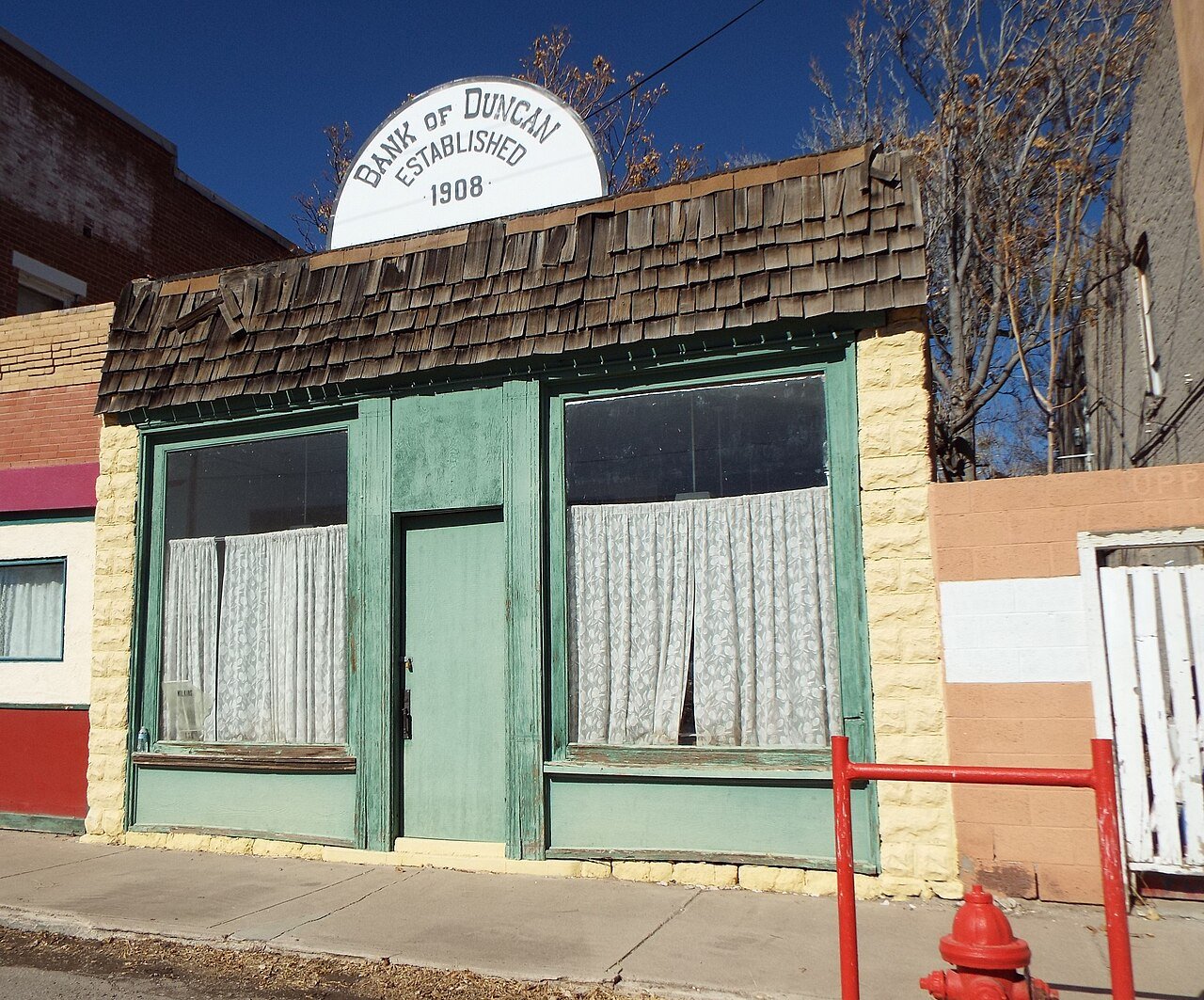
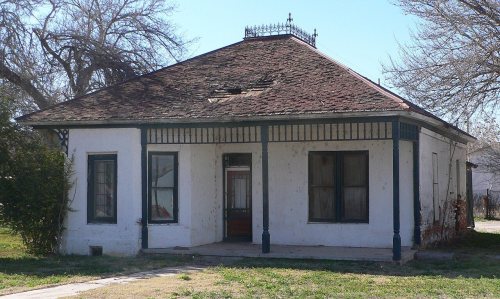
143 years in pictures
Census counts: 887 in 1940, 694 in 2020. The archive holds 12 old photos and papers going back to 1936 and 2 maps from 1960 on.
1 place on the National Register of Historic Places.
- 1883Duncan is settled
Each edition grades its towns against each other only.

37% of residents live below the poverty line in Duncan, where Arizona’s towns sit at 12% and U.S. towns at 9.6%. No town among the 141 in Arizona we compare has a lower middle household income than Duncan. Benjamin F. Billingsley House is on the National Register of Historic Places. Duncan has fewer than 1,000 residents, too few for fair grades; the figures below are still real.
Where Duncan beats most towns.
In a town this size, neighbors are the best guide. Ask them anything.
Census counts: 887 in 1940, 694 in 2020. The archive holds 12 old photos and papers going back to 1936 and 2 maps from 1960 on.
1 place on the National Register of Historic Places.
Who provides power, water and the rest in Duncan, and how to reach them.
EPA SDWIS (Oct 9, 2026) · HIFLD + EIA-861 2025 · Census 2020 ZCTAs · NCES 2024–25 · registration: vote.gov, updated Sep 12, 2025.
Ordered by what stands out in Duncan.
Paid flood insurance claims in Duncan since 1978: 34. Compared with 87% of U.S. communities, expected storm and flood damage locally is higher. Nearly three quarters of the town’s expected losses from natural hazards come from inland flooding, followed by lightning at 10%. Federal disaster aid has reached households in Duncan after 2 declared disasters, most recently in 2006.
FEMA flood insurance claims · FEMA disaster declarations and aid · FEMA National Risk Index · OpenFEMA
The Duncan Unified District runs its public schools. Two of its 4 schools are shown below, with the reason for each. The 2 public schools in Duncan teach 369 students between them.
| School | Level | Students | Letter |
|---|---|---|---|
| Duncan ElementaryLargest public elementary schoolGrades PK–8 | Grades PK–8 | 256 | B |
| Duncan High SchoolLargest public high schoolGrades 9–12 | Grades 9–12 | 113 | B− |
NCES · EDFacts
NOAA U.S. Climate Normals, 1991–2020
Only 16% of working residents stay in Duncan for work; the rest commute out. The town’s mean commuting time comes in at 30 minutes. The top destinations are Morenci (37%), Phoenix (7%) and Safford (6%). For half of commuters, work is under 26 miles away.
| Duncan | Arizona towns | U.S. towns | |
|---|---|---|---|
| Average trip to work | 30 minutes | 24 minutes | 25 minutes |
| Working residents who work in town | 16% | 10% | 8% |
Census LEHD 2023 · ACS
38% of Duncan adults sleep under 7 hours. Among adults locally, 74% had a checkup this year and 23% say their health is fair or poor.
| Duncan | Arizona towns | U.S. towns | |
|---|---|---|---|
| No health insurance, 18–64 (CDC PLACES) | 14% | 12% | 8.1% |
| Sleep under 7 hours (CDC PLACES) | 38% | 35% | 36% |
| Yearly checkup (CDC PLACES) | 74% | 75% | 79% |
| Fair or poor health (CDC PLACES) | 23% | 21% | 19% |
| What stands out | Duncan | AZ |
|---|---|---|
| More adults with COPD | 8.1% | 6.6% |
| More adults in frequent physical distress | 15.5% | 13% |
| More adults who have had a stroke | 4% | 3.4% |
CDC PLACES 2025 · modeled estimates for adults · CMS · HRSA
Duncan’s density of trails stands at 0.5 miles per square mile. 1.1 miles of trail.
| Duncan | Arizona towns | U.S. towns | |
|---|---|---|---|
| Conserved land | 8.5% | 14% | 4.3% |
| Miles of trail per square mile | 0.5 miles per square mile | 1.1 | 0.4 |
Trails & parks © OpenStreetMap contributors · Conserved land: USGS PAD-US
None within 15 miles of Duncan; the nearest are
About 3 of every 100 Duncan residents are enrolled in college, against 6 across Arizona.
Town in Greenlee County, Arizona
Duncan is a town in Greenlee County, Arizona, United States. As of the 2020 census, Duncan had a population of 694. Duncan is in the Gila River valley, four miles (6 km) west of the Arizona–New Mexico border. The town limits are on both sides of the Gila River, but the primary portion of the town and the entire downtown area lies on the south side of the river. Duncan was founded in the mid-19th century, and the land was added to the United States as a part of the Mexican Cession, and the Gadsden Purchase. The town of Duncan has been destroyed twice by flood and once by fire. The town and unincorporated county surrounding the town are primarily populated by farming, ranching, and mining fam…
From Wikipedia, licensed CC BY-SA 4.0 · facts via Wikidata (CC0)
Short answers, built from the data on this page.
Duncan has fewer than 1,000 residents, too few for fair grades; the figures below are still real.