
Wounded Knee National Historic Landmark
The Wounded Knee Battlefield was the site of the Wounded Knee Massacre of 1890 in South Dakota, United States. Records date it to 1890. Pleasant highs of 68–79°F mark the mildest months, May, June and September.

An ancient site inside Wounded Knee
Plan where you’ll sleep
No town within 30 miles has many hotels or campgrounds. Look at the towns below, or plan to camp. Where to stay ↓
Winters are cold
January nights drop to 14°. When to go ↓
Established in 1890
Wounded Knee National Historic Landmark dates from 1890. About ↓
Best months: May, Jun and Sep
May, June and September are the mild months, with highs of 68–79°. When to go ↓
Written from NOAA 1991–2020 normals, Overture places to stay, Census town figures, Wikidata and Wikipedia.
Highs and lows by month
Every month near Wounded Knee National Historic Landmark is set out below.
Wounded Knee National Historic Landmark
The Wounded Knee Battlefield was the site of the Wounded Knee Massacre of 1890 in South Dakota, United States. An 870-acre (350 ha) area was designated a U.S. National Historic Landmark in 1965. Along with all other National Historic Landmarks, it was listed on the U.S. National Register of Historic Places when that program was inaugurated in 1966, listed as "Wounded Knee Battlefield". A museum at the site interprets the massacre.
The National Historic Landmark nomination was drafted by 1990 with a latter consultation with Indian representatives. Following the suggestion that the Indian representation should be increased, oral history interviews were conducted with four descendants. The interview summaries were included in the revised nomination.
- Type
- Ancient site
- Established
- 1890
- Listed
- National Historic Landmark · National Register of Historic Places (1966)
- Wikipedia readers
- 7.7K a year
Where to base yourself for Wounded Knee National Historic Landmark
Towns within 30 miles, best bases first.
Compare 3 towns
| Town | From Wounded Knee National Historic Landmark | Drive | Places to stay | People | Typical home | Safety |
|---|---|---|---|---|---|---|
| Wounded Knee | in town | — | — | 524 | — | — |
| Oglala | 18 mi west | 25 min | 1 1 hotel | 1,071 | — | — |
| Gordon | 25 mi south | 35 min | 2 2 motels | 1,417 | $97K | C |
Getting there
Nearest airports with airline service
Combine it with these
These lie within 68 miles as the crow flies.
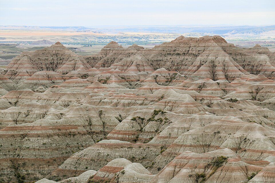 43 mi National ParkBadlands National Park1.1M visitors a year
 63 mi National ParkWind Cave National Park606K visitors a year
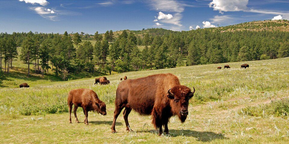 67 mi State parkCuster State Park
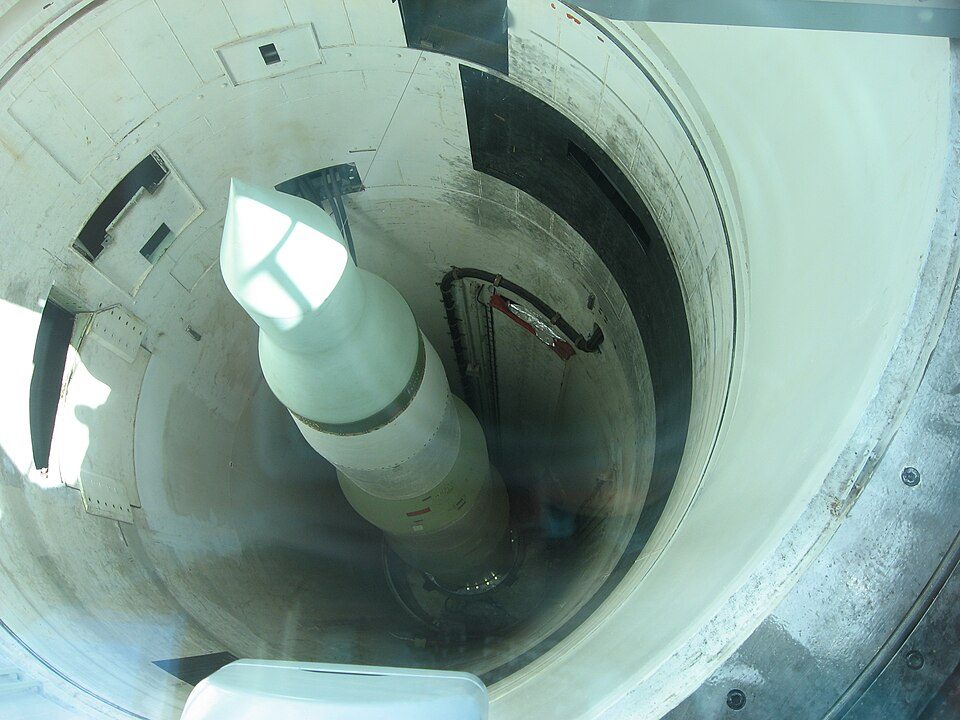 55 mi National Historic SiteMinuteman Missile National Historic Site102K visitors a year
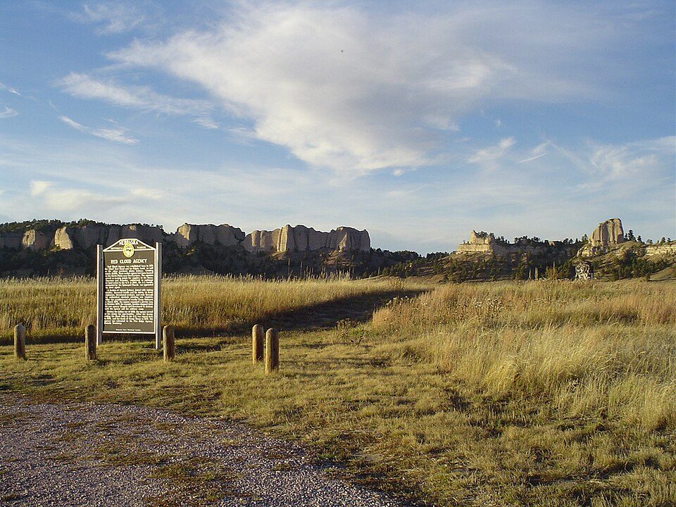 65 mi LandmarkFort Robinson
 60 mi MuseumMammoth Site, Hot Springs
 39 mi National forestNebraska National Forest
 65 mi MuseumTrailside Museum of Natural History at Fort Robinson State Park
Photo credits
Badlands National Park: Martin Kraft, CC BY-SA 3.0 · Wind Cave National Park: USGS/USGov, Public domain · Custer State Park: Guimir, Public domain · Minuteman Missile National Historic Site: Spencer, CC BY-SA 3.0 · Fort Robinson: Slothus, CC BY-SA 3.0 · Mammoth Site, Hot Springs: Jeff the quiet, CC0 · Nebraska National Forest: Bkell, Public domain · Trailside Museum of Natural History at Fort Robinson State Park: Jonathunder, GFDL 1.2


Wounded Knee National Historic Landmark: what to know
Is Wounded Knee National Historic Landmark in Wounded Knee?
Yes. It’s inside Wounded Knee, SD.
When is the best time to visit Wounded Knee National Historic Landmark?
May, June and September, with highs of 68–79°.
What is the closest airport to Wounded Knee National Historic Landmark?
Chadron Municipal (CDR), about 42 miles away.
Ask people in Wounded Knee
There are no tips yet, so start one in Wounded Knee’s Town Square.
Sources: National Park Service · ski areas © OpenSkiMap / OpenStreetMap contributors · Wikidata · Wikipedia readership · NOAA climate normals · U.S. Census.