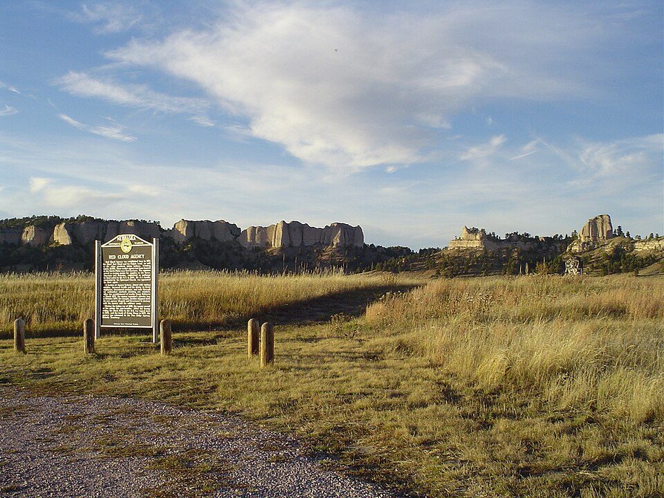
Fort Robinson
Fort Robinson is a former U.S. Army fort and now a major feature of Fort Robinson State Park, a 22,000-acre (8,900 ha) public recreation and historic preservation area located 2 miles (3.2 km) west of Crawford on U.S. Route 20 in the Pine Ridge region of northwest Nebraska. A drive of 22 mi reaches Agate Fossil Beds. Its mildest months, May, June and September, bring highs of 69–81°F.

A landmark, 3 mi southwest of Crawford
Plan where you’ll sleep
The nearest town with many places to stay is Chadron, 26 miles northeast. Where to stay ↓
Winters are cold
January nights drop to 14°. When to go ↓
Best months: May, Jun and Sep
May, June and September are the mild months, with highs of 69–81°. When to go ↓
Written from NOAA 1991–2020 normals, Overture places to stay, Census town figures, Wikidata and Wikipedia.
Month by month
This is the year’s weather near Fort Robinson.
Fort Robinson
Fort Robinson is a former U.S. Army fort and now a major feature of Fort Robinson State Park, a 22,000-acre (8,900 ha) public recreation and historic preservation area located 2 miles (3.2 km) west of Crawford on U.S. Route 20 in the Pine Ridge region of northwest Nebraska.
The fort was declared a National Historic Landmark in 1960 and is part of the Fort Robinson and Red Cloud Agency historic district. This includes Fort Robinson and the site of the second Red Cloud Agency (about 1.5 mi (2.4 km) to the east). The district also includes the Camp Canby site and the 1886 Percy Homestead. The fort is managed by the Nebraska Game and Parks Commission, with some individual buildings operated by the Nebraska State Historical Society and the University of Nebraska–Lincoln.
- Type
- Landmark
- Listed
- National Historic Landmark (1960) · National Register of Historic Places (1966)
- Wikipedia readers
- 19K a year
Places to stay near Fort Robinson
The closest towns with hotels, motels or campgrounds are Chadron (12).
Crawford
The closest town with somewhere to stay.
780 people
3 mi northeast of Fort Robinson
Compare 3 towns
Getting there
Nearest airports with airline service
Worth adding to a visit
Places worth adding lie within 67 miles.
 61 mi National ParkWind Cave National Park606K visitors a year
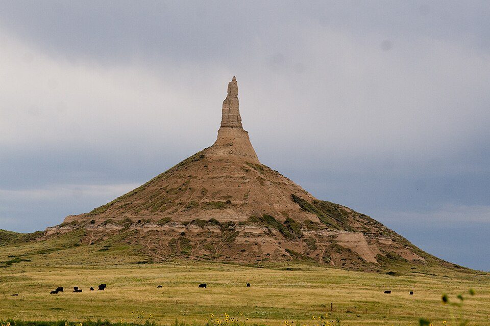 67 mi LandmarkChimney Rock National Historic Site
 64 mi National Historic SiteFort Laramie National Historic Site37K visitors a year
 59 mi National MonumentScotts Bluff National Monument182K visitors a year
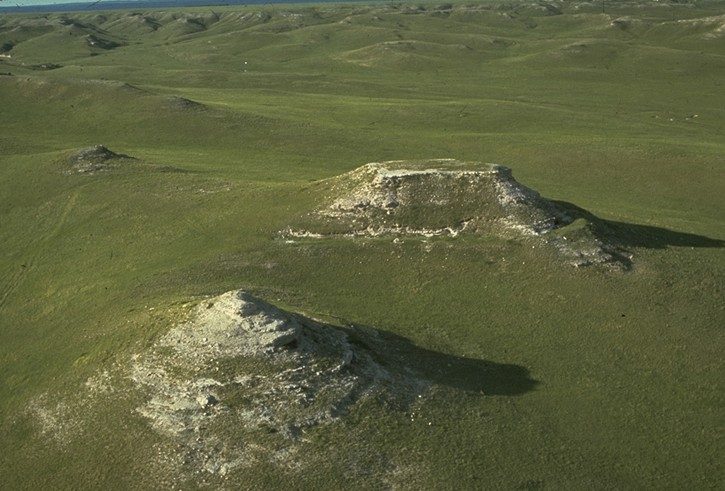 122 mi National MonumentAgate Fossil Beds National Monument17K visitors a year
 213 mi Ancient siteHudson-Meng Bison Kill
 52 mi MuseumMammoth Site, Hot Springs
 329 mi National forestNebraska National Forest
Photo credits
Wind Cave National Park: USGS/USGov, Public domain · Chimney Rock National Historic Site: Mike Tigas from Columbia, MO, United States, CC BY 2.0 · Fort Laramie National Historic Site: Chris Light (talk), CC BY-SA 3.0 · Scotts Bluff National Monument: © 2004 Matthew Trump, CC BY-SA 3.0 · Agate Fossil Beds National Monument: The original uploader was Urban at French Wikipedia., Public domain · Hudson-Meng Bison Kill: SkybirdForever, CC BY-SA 3.0 · Mammoth Site, Hot Springs: Jeff the quiet, CC0 · Nebraska National Forest: Bkell, Public domain


Asked about Fort Robinson
What town is Fort Robinson near?
Crawford, NE, about 3 miles northeast.
When is the best time to visit Fort Robinson?
May, June and September, with highs of 69–81°.
What is the closest airport to Fort Robinson?
Chadron Municipal (CDR), about 22 miles away. The nearest big hub is Denver (DEN), about 204 miles.
Where should I stay near Fort Robinson?
Chadron (26 mi, 12 places to stay).
Local know-how from Crawford
No one has shared advice yet; Crawford’s Town Square takes questions.
Sources: National Park Service · ski areas © OpenSkiMap / OpenStreetMap contributors · Wikidata · Wikipedia readership · NOAA climate normals · U.S. Census.