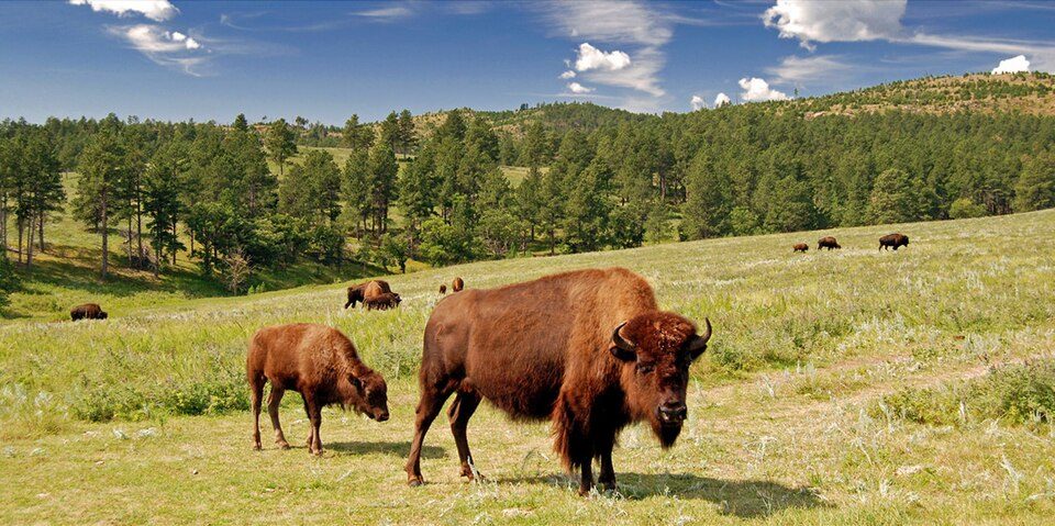
Custer State Park
Custer State Park is a South Dakota State Park and wildlife reserve in the Black Hills of the United States.

A state park, 9 mi east of Custer
Winters are cold
January nights drop to 13°, with about 58" of snow a year. When to go ↓
Custer is the nearest base
Custer is 9 miles west, with 42 places to stay. Where to stay ↓
Established in 1912
Custer State Park dates from 1912 and is run by South Dakota Game, Fish and Parks. About ↓
Best months: Jun, Jul, Aug and Sep
June, July, August and September are the mild months, with highs of 70–80°. When to go ↓
Written from NOAA 1991–2020 normals, Overture places to stay, Census town figures, Wikidata and Wikipedia.
Weather, month by month
Typical highs and lows in Custer. Green months are the mild ones.
Custer State Park
Custer State Park is a South Dakota State Park and wildlife reserve in the Black Hills of the United States. Located in Custer County, the park is South Dakota's first and largest state park, named after Lieutenant Colonel George Armstrong Custer. The park covers an area of over 71,000 acres (287 km2) of varied terrain including rolling prairie grasslands and rugged mountains.
- Type
- State park
- Established
- 1912
- Area
- 111 square miles
- Run by
- South Dakota Game, Fish and Parks
- Wikipedia readers
- 38K a year
Where to stay near Custer State Park
The closest towns with hotels, motels or campgrounds are Custer (42) and Keystone (32).
- 1Mount Rushmore
- 2Crazy Horse Memorial
- 3Black Elk Peak
- 4Wind Cave
- 5Jewel Cave
- 6Black Hills National Forest
- 7Bedrock City
Compare 8 towns
| Town | From Custer | Drive | Places to stay | People | Typical home | Safety |
|---|---|---|---|---|---|---|
| Custer | 9 mi west | 15 min | 42 14 hotels · 3 motels · 2 inns & B&Bs · 7 lodges & cabins · 14 campgrounds · 2 RV parks | 1,803 | $236K | — |
| Keystone | 10 mi north | 15 min | 32 16 hotels · 1 motel · 2 inns & B&Bs · 7 lodges & cabins · 4 campgrounds · 2 RV parks | 268 | $264K | — |
| Hill City | 15 mi northwest | 20 min | 38 16 hotels · 2 motels · 4 inns & B&Bs · 6 lodges & cabins · 8 campgrounds · 2 RV parks | 938 | $286K | — |
| Rapid City | 25 mi northeast | 35 min | 76 58 hotels · 8 motels · 3 inns & B&Bs · 2 lodges & cabins · 5 campgrounds | 80,589 | $299K | D− |
| Hot Springs | 23 mi south | 35 min | 23 12 hotels · 2 inns & B&Bs · 3 lodges & cabins · 4 campgrounds · 2 RV parks | 3,670 | $203K | A |
| Colonial Pine Hills | 19 mi north | 30 min | 10 2 hotels · 2 inns & B&Bs · 1 campground · 5 RV parks | 2,609 | $407K | — |
| Hermosa | 13 mi northeast | 20 min | 3 1 inn or B&B · 1 campground · 1 RV park | 370 | $149K | — |
| Johnson Siding | 23 mi north | 35 min | 6 2 inns & B&Bs · 4 campgrounds | 704 | $472K | — |
Getting there
Nearest airports with airline service
Also near Custer
Other well-known places within 46 miles. Numbered ones are on the map above.
 Big draw19 mi National MemorialMount Rushmore National Memorial1.9M visitors a year
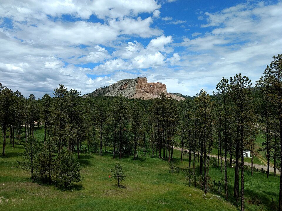 Big draw212 mi LandmarkCrazy Horse Memorial
 310 mi MountainBlack Elk Peak
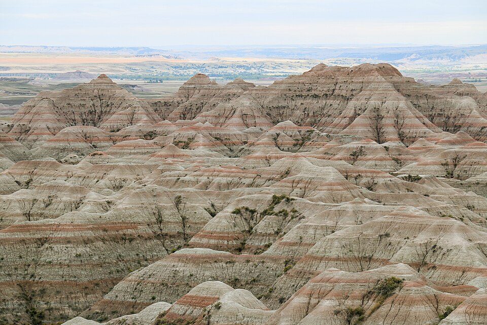 Big draw46 mi National ParkBadlands National Park1.1M visitors a year
 413 mi National ParkWind Cave National Park606K visitors a year521 mi National MonumentJewel Cave National Monument111K visitors a year
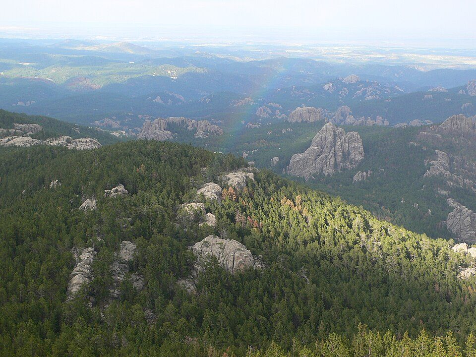 69 mi National forestBlack Hills National Forest
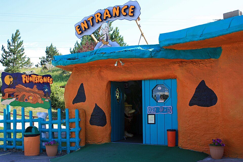 710 mi Theme parkBedrock City
Photo credits
Mount Rushmore National Memorial: Thomas Wolf, www.foto-tw.de, CC BY-SA 3.0 · Crazy Horse Memorial: Jeffreylcooke, CC BY-SA 4.0 · Black Elk Peak: BHrock at English Wikipedia, Public domain · Badlands National Park: Martin Kraft, CC BY-SA 3.0 · Wind Cave National Park: USGS/USGov, Public domain · Black Hills National Forest: Vocaro at English Wikipedia, CC BY-SA 3.0 · Bedrock City: Tbennert, CC BY-SA 3.0


Visiting Custer
What town is Custer State Park near?
Custer, SD, about 9 miles west.
When is the best time to visit Custer State Park?
June, July, August and September, with highs of 70–80°.
What is the closest airport to Custer State Park?
Rapid City Regional (RAP), about 27 miles away.
Where should I stay near Custer State Park?
Custer (9 mi, 42 places to stay), Keystone (10 mi, 32 places to stay) and Hill City (15 mi, 38 places to stay).
Tips from people in Custer
No tips yet. Ask, or answer, in Custer’s Town Square.
Sources: National Park Service · ski areas © OpenSkiMap / OpenStreetMap contributors · Wikidata · Wikipedia readership · NOAA climate normals · U.S. Census.