
Uwharrie National Forest
Uwharrie National Forest (locally yoo-WAH-ree) is a federally designated national forest region located primarily in Montgomery County, but also extending into Randolph and Davidson counties in south central North Carolina. You will find it 6 mi east of Badin. The site is run by the United States Forest Service.

A national forest, 6 mi east of Badin
Albemarle is the nearest base
Albemarle is 11 miles southwest, with 8 places to stay. Where to stay ↓
A day trip from Charlotte
Charlotte is about 48 miles west and Raleigh is about 82 miles east (straight-line). Where to stay ↓
Best months: Apr, May, Sep and Oct
April, May, September and October are the mild months, with highs of 73–83°. When to go ↓
Written from NOAA 1991–2020 normals, Overture places to stay, Census town figures, Wikidata and Wikipedia.
How the seasons run
Every month near Uwharrie National Forest is set out below.
Uwharrie National Forest
Uwharrie National Forest (locally yoo-WAH-ree) is a federally designated national forest region located primarily in Montgomery County, but also extending into Randolph and Davidson counties in south central North Carolina. It is the smallest of the four National Forests in North Carolina, with a total area of 50,645 acres (204.95 km2). About 79% of its acreage is in Montgomery County. The forest is managed together with the other three North Carolina National Forests (Croatan, Nantahala, and Pisgah) from common headquarters in Asheville, North Carolina. However, it does have a local ranger district office in Troy, North Carolina. There is one officially designated wilderness area within the forest—the 5,025-acre (20.34 km²) Birkhead Mountains Wilderness.
- Type
- National forest
- Run by
- United States Forest Service
- Wikipedia readers
- 11K a year
Where to stay near Uwharrie National Forest
Close by, places to stay are in Albemarle (8) and Badin (4).
Albemarle
The closest town with somewhere to stay.
17,769 people
11 mi southwest of Uwharrie National Forest
Compare 8 towns
| Town | From Uwharrie National Forest | Drive | Places to stay | People | Typical home | Safety |
|---|---|---|---|---|---|---|
| Albemarle | 11 mi southwest | 15 min | 8 7 hotels · 1 inn or B&B | 17,769 | $205K | — |
| Badin | 6 mi west | 10 min | 4 1 inn or B&B · 3 campgrounds | 1,915 | $160K | — |
| Troy | 9 mi southeast | 15 min | 3 1 hotel · 1 motel · 1 lodge or cabins | 3,020 | $160K | C |
| Asheboro | 22 mi northeast | 35 min | 15 9 hotels · 2 motels · 1 inn or B&B · 1 lodge or cabins · 2 campgrounds | 27,990 | $188K | C− |
| New London | 11 mi west | 15 min | 2 2 campgrounds | 664 | $296K | — |
| Norwood | 15 mi south | 20 min | 3 2 campgrounds · 1 RV park | 2,568 | $185K | — |
| Lexington | 29 mi northwest | 45 min | 12 7 hotels · 2 motels · 1 inn or B&B · 1 lodge or cabins · 1 campground | 20,238 | $180K | D |
| Southmont | 21 mi northwest | 30 min | 4 4 campgrounds | 1,525 | $424K | — |
Day trip from
Straight-line miles.
Getting there
Nearest airports with airline service
Around Uwharrie National Forest
All of these are within 57 miles.
 Big draw49 mi Stadium & arenaBank of America Stadium
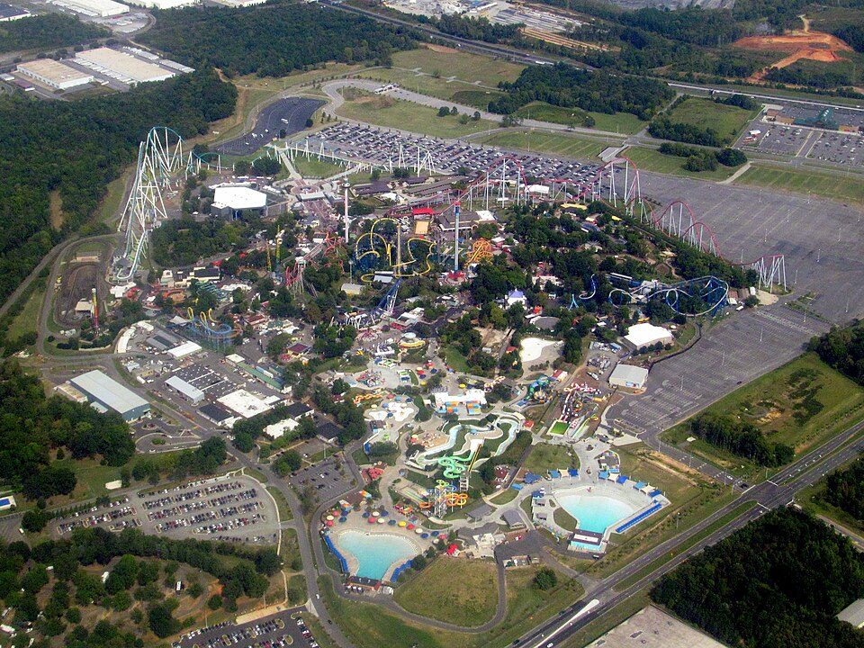 57 mi Theme parkCarowinds
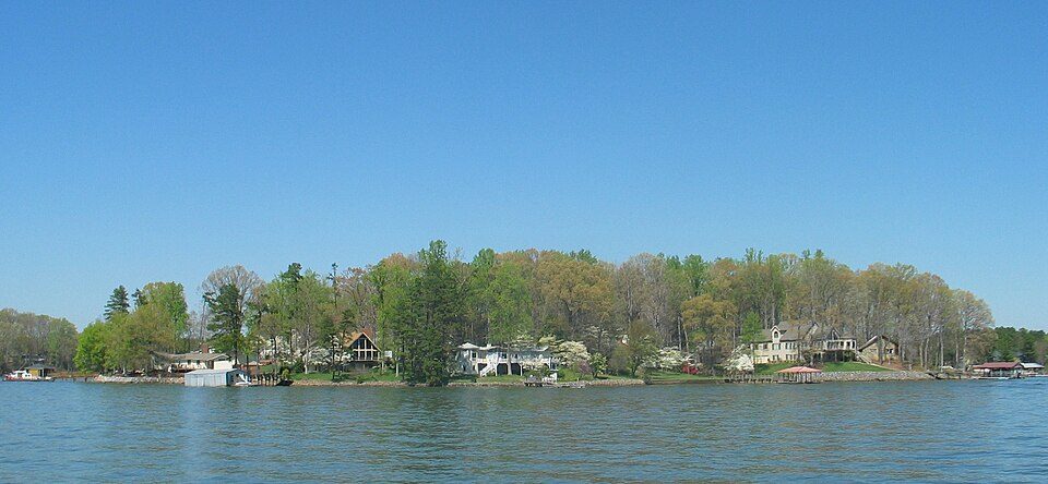 52 mi LakeLake Norman
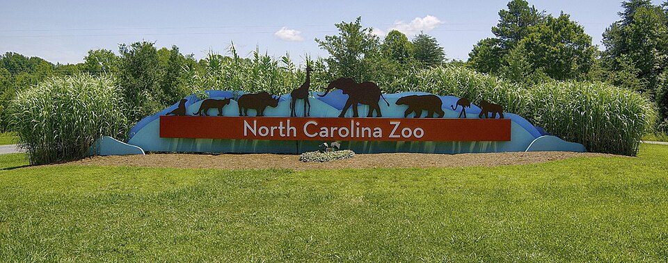 120 mi Zoo & aquariumNorth Carolina Zoo700K visitors a year
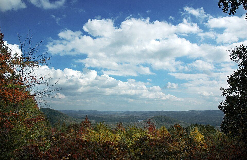 25 mi State parkMorrow Mountain53 mi MuseumSullenberger Aviation Museum70K visitors a year
 46 mi Stadium & arenaBojangles Coliseum
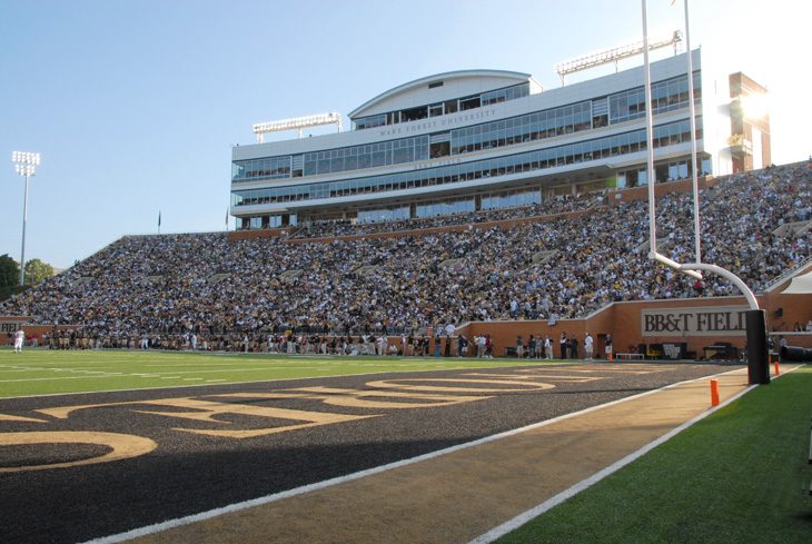 50 mi Stadium & arenaAllegacy Federal Credit Union Stadium
Photo credits
Bank of America Stadium: HangingCurve, CC BY-SA 4.0 · Carowinds: Pi.1415926535, CC BY-SA 3.0 · Lake Norman: Prince Grobhelm, CC BY-SA 3.0 · North Carolina Zoo: Diane Villa, CC BY-SA 4.0 · Morrow Mountain: Hathcock at English Wikipedia, CC BY 3.0 · Bojangles Coliseum: James Willamor, CC BY-SA 3.0 · Allegacy Federal Credit Union Stadium: BobHWS, CC BY-SA 3.0


Questions before you go
What town is Uwharrie National Forest near?
Badin, NC, about 6 miles west.
When is the best time to visit Uwharrie National Forest?
April, May, September and October, with highs of 73–83°.
How far is Uwharrie National Forest from Greensboro and Charlotte?
About 47 miles north of Greensboro and about 48 miles west of Charlotte, as the crow flies.
What is the closest airport to Uwharrie National Forest?
Concord-Padgett Regional (USA), about 39 miles away. The nearest big hub is Piedmont Triad (GSO), about 46 miles.
Where should I stay near Uwharrie National Forest?
Albemarle (11 mi, 8 places to stay), Badin (6 mi, 4 places to stay) and Troy (9 mi, 3 places to stay).
Ask a local in Badin
There are no tips yet, so start one in Badin’s Town Square.
Sources: National Park Service · ski areas © OpenSkiMap / OpenStreetMap contributors · Wikidata · Wikipedia readership · NOAA climate normals · U.S. Census.