
Ty Warner Sea Center
The Santa Barbara Museum of Natural History Sea Center, briefly known as the Ty Warner Sea Center, is a museum owned and operated by the Santa Barbara Museum of Natural History and is located on Santa Barbara's Stearns Wharf. Look for it in Santa Barbara. Los Padres National Forest comes next on our list, 18 mi away.

A zoo & aquarium inside Santa Barbara
You can stay in Santa Barbara
Ty Warner Sea Center is inside Santa Barbara, which has 88 places to stay, so you won’t need a base farther out. Where to stay ↓
A day trip from Los Angeles
Los Angeles is about 78 miles east (straight-line). Where to stay ↓
Best months: Jan, Feb, Mar, Apr, May, Jun, Jul, Aug, Sep, Oct, Nov and Dec
January, February, March, April, May, June, July, August, September, October, November and December are the mild months, with highs of 65–77°. When to go ↓
An airport 9 miles away
Santa Barbara Municipal (SBA) has airline service, about 9 miles from Ty Warner Sea Center.
Written from NOAA 1991–2020 normals, Overture places to stay, Census town figures and Wikipedia.
Highs and lows by month
Pick a month for Ty Warner Sea Center from the weather below.
Ty Warner Sea Center
The Santa Barbara Museum of Natural History Sea Center, briefly known as the Ty Warner Sea Center, is a museum owned and operated by the Santa Barbara Museum of Natural History and is located on Santa Barbara's Stearns Wharf. The Sea Center focuses on the marine life and the related conservation of the Santa Barbara Channel.
- Type
- Zoo & aquarium
- Wikipedia readers
- 1.1K a year
Rooms near Ty Warner Sea Center
Close by, places to stay are in Santa Barbara (88) and Goleta (13).
Compare 8 towns
| Town | From Ty Warner Sea Center | Drive | Places to stay | People | Typical home | Safety |
|---|---|---|---|---|---|---|
| Santa Barbara | in town | — | 88 55 hotels · 6 motels · 23 inns & B&Bs · 1 lodge or cabins · 2 hostels · 1 RV park | 86,422 | $1,571K | D |
| Goleta | 10 mi west | 15 min | 13 12 hotels · 1 motel | 32,401 | $1,062K | C+ |
| Carpinteria | 10 mi east | 15 min | 12 5 hotels · 4 motels · 2 inns & B&Bs · 1 lodge or cabins | 12,734 | $1,043K | C+ |
| Eastern Goleta Valley | 6 mi northwest | 10 min | 6 5 hotels · 1 campground | 28,295 | $1,362K | — |
| San Buenaventura (Ventura) | 27 mi east | 40 min | 54 23 hotels · 17 motels · 6 inns & B&Bs · 2 lodges & cabins · 3 campgrounds · 3 RV parks | 109,914 | $827K | C− |
| University of California-Santa Barbara | 9 mi west | 15 min | 5 3 hotels · 2 campgrounds | 12,121 | $453K | — |
| Montecito | 3 mi east | 5 min | 2 2 hotels | 9,031 | $2,000K | — |
| Summerland | 6 mi east | 10 min | 2 2 inns & B&Bs | 1,348 | $2,000K | — |
Day trip from
Straight-line miles.
Getting there
Nearest airports with airline service
Combine it with these
Also within 69 miles are these.
 Big draw62 mi Theme parkSix Flags Magic Mountain3.2M visitors a year
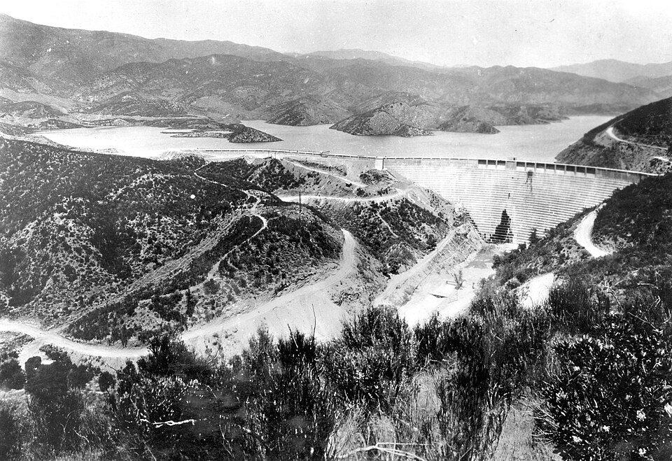 Big draw67 mi DamSt. Francis Dam
 51 mi MuseumRonald Reagan Presidential Library
 69 mi MuseumGetty Villa454K visitors a year
 118 mi National forestLos Padres National Forest
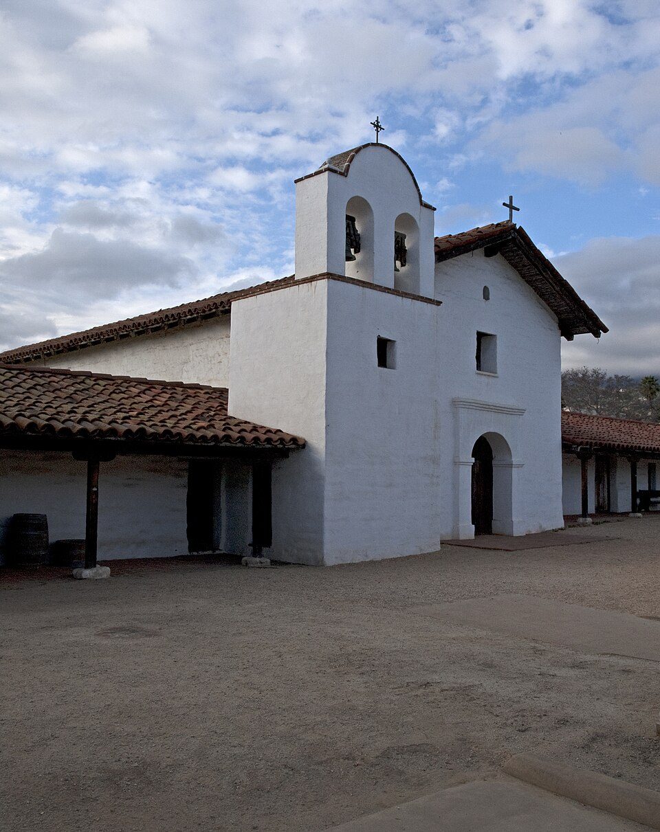 2in town LandmarkPresidio of Santa Barbara
 33 mi GardenLotusland
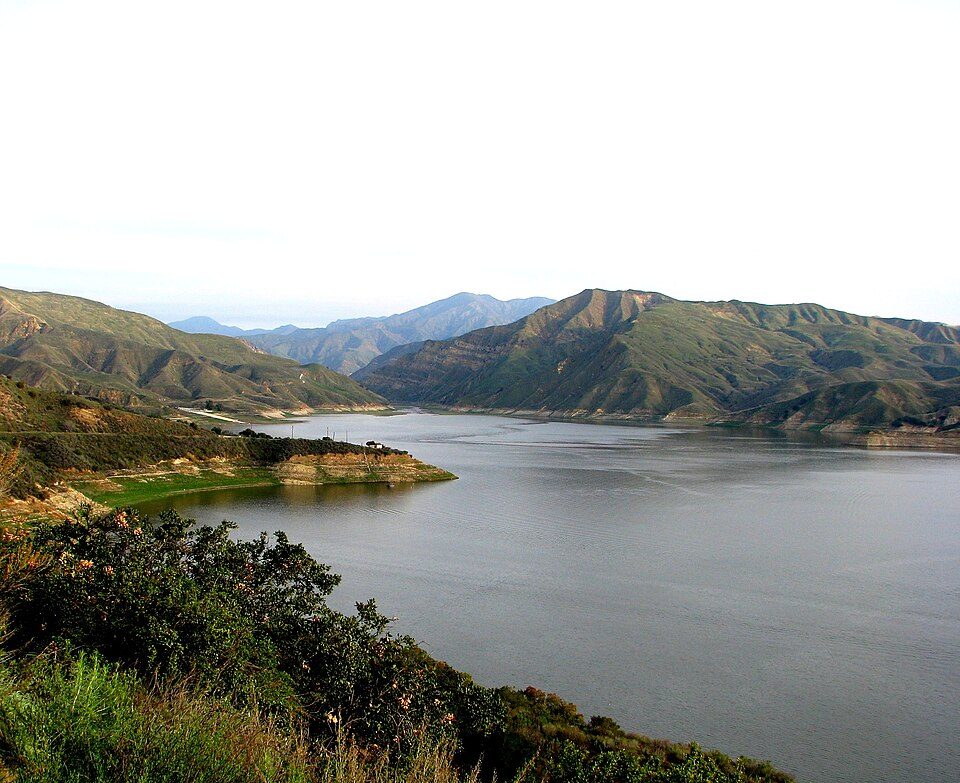 53 mi LakeLake Piru
Photo credits
Six Flags Magic Mountain: Alton, CC BY 3.0 · St. Francis Dam: Stearns, H.T. USGS, Public domain · Ronald Reagan Presidential Library: Unknown authorUnknown author, Public domain · Getty Villa: Bobak Ha'Eri, CC BY 3.0 · Los Padres National Forest: Taken by Antandrus, Public domain · Presidio of Santa Barbara: Ymblanter, CC BY-SA 3.0 · Lotusland: brewbooks from near Seattle, USA, CC BY-SA 2.0 · Lake Piru: tomsaint11, CC BY 2.0


Questions before you go
Is Ty Warner Sea Center in Santa Barbara?
Yes. It’s inside Santa Barbara, CA.
When is the best time to visit Ty Warner Sea Center?
January, February, March, April, May, June, July, August, September, October, November and December, with highs of 65–77°.
How far is Ty Warner Sea Center from Bakersfield and Los Angeles?
About 75 miles northeast of Bakersfield and about 78 miles east of Los Angeles, as the crow flies.
What is the closest airport to Ty Warner Sea Center?
Santa Barbara Municipal (SBA), about 9 miles away. The nearest big hub is Hollywood Burbank/Bob Hope (BUR), about 77 miles.
Where should I stay near Ty Warner Sea Center?
Santa Barbara (in town, 88 places to stay), Goleta (10 mi, 13 places to stay) and Carpinteria (10 mi, 12 places to stay).
From people who live in Santa Barbara
No one has shared advice yet; Santa Barbara’s Town Square takes questions.
Sources: National Park Service · ski areas © OpenSkiMap / OpenStreetMap contributors · Wikidata · Wikipedia readership · NOAA climate normals · U.S. Census.