
The Angle
The Angle (Bloody Angle colloq.) is a Gettysburg Battlefield area which includes the 1863 Copse of Trees used as the target landmark for Pickett's Charge, the 1892 monument that marks the high-water mark of the Confederacy, a rock wall, and

A landmark inside Cumberland Township
You can stay in Cumberland Township
The Angle is inside Cumberland Township, which has 18 places to stay, so you won’t need a base farther out. Where to stay ↓
A day trip from Baltimore
Baltimore is about 49 miles southeast and Washington is about 64 miles south (straight-line). Where to stay ↓
Best months: Apr, May, Jun, Sep and Oct
April, May, June, September and October are the mild months, with highs of 64–82°. When to go ↓
Written from NOAA 1991–2020 normals, Overture places to stay, Census town figures and Wikipedia.
Weather, month by month
Typical highs and lows in Cumberland Township. Green months are the mild ones.
The Angle
The Angle (Bloody Angle colloq.) is a Gettysburg Battlefield area which includes the 1863 Copse of Trees used as the target landmark for Pickett's Charge, the 1892 monument that marks the high-water mark of the Confederacy, a rock wall, and several other Battle of Gettysburg monuments.
- Type
- Landmark
- Wikipedia readers
- 8.8K a year
Where to stay near The Angle
The closest towns with hotels, motels or campgrounds are Cumberland Township (18) and Gettysburg (31).
Compare 8 towns
| Town | From The Angle | Drive | Places to stay | People | Typical home | Safety |
|---|---|---|---|---|---|---|
| Cumberland Township | in town | — | 18 6 hotels · 3 motels · 5 inns & B&Bs · 4 campgrounds | 7,219 | $293K | A |
| Gettysburg | 1 mi north | — | 31 11 hotels · 1 motel · 18 inns & B&Bs · 1 lodge or cabins | 8,365 | $242K | B+ |
| Straban Township | 6 mi northeast | 10 min | 12 10 hotels · 1 motel · 1 campground | 4,968 | $319K | — |
| Mount Joy Township | 4 mi southeast | 5 min | 5 3 hotels · 2 inns & B&Bs | 3,881 | $345K | — |
| Highland Township | 5 mi west | 5 min | 5 1 hotel · 1 inn or B&B · 3 campgrounds | 1,020 | $359K | — |
| Hanover | 13 mi east | 20 min | 9 3 hotels · 1 motel · 4 inns & B&Bs · 1 lodge or cabins | 16,684 | $213K | C |
| Franklin Township | 9 mi northwest | 15 min | 5 3 inns & B&Bs · 1 campground · 1 RV park | 4,781 | $253K | — |
| Chambersburg | 24 mi west | 35 min | 21 16 hotels · 2 motels · 1 inn or B&B · 2 lodges & cabins | 23,376 | $215K | C |
Day trip from
Straight-line miles.
Getting there
Nearest airports with airline service
Also near The Angle
Other well-known places within 66 miles. Numbered ones are on the map above.
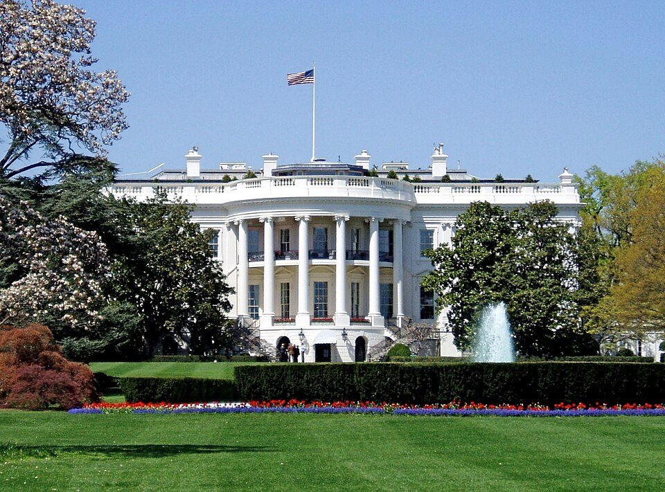 Big draw64 mi National park siteWhite House311K visitors a year
 Big draw111 mi LandmarkRaven Rock Mountain Complex
 Big draw65 mi National MemorialWashington Monument204K visitors a year
 Big draw65 mi LandmarkArlington National Cemetery
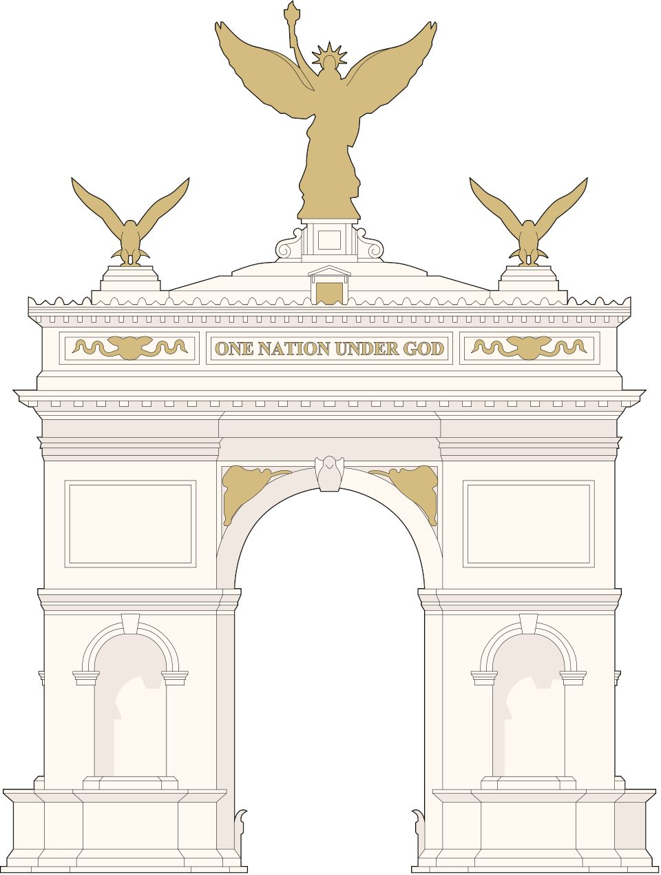 Big draw65 mi LandmarkUnited States Triumphal Arch
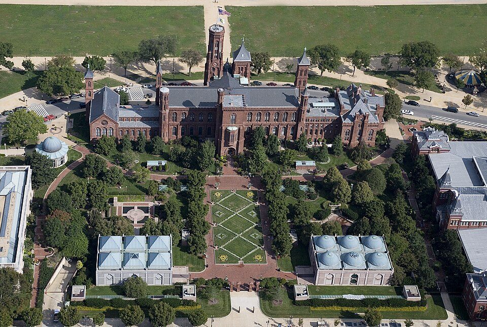 Big draw65 mi MuseumSmithsonian Institution30.0M visitors a year
 2in town Ancient siteGettysburg Battlefield
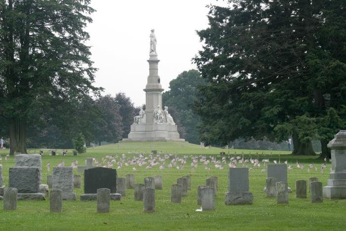 3in town LandmarkGettysburg National Cemetery
Photo credits
White House: This image or media was taken or created by Matt H. Wade. To see his entire port, CC BY-SA 3.0 · Raven Rock Mountain Complex: US Government, Public domain · Washington Monument: Oren Rozen, CC BY-SA 4.0 · Arlington National Cemetery: Protoant, Public domain · United States Triumphal Arch: Hstoops, CC0 · Smithsonian Institution: Highsmith, Carol M., 1946-, photographer, Public domain · Gettysburg Battlefield: Veggies, Public domain · Gettysburg National Cemetery: Photo: Henryhartley at en.wikipedia Statue: Randolph Rogers (1825-1892), Public domain


Visiting The Angle
Is The Angle in Cumberland Township?
Yes. It’s inside Cumberland Township, PA.
When is the best time to visit The Angle?
April, May, June, September and October, with highs of 64–82°.
How far is The Angle from Baltimore and Washington?
About 49 miles southeast of Baltimore and about 64 miles south of Washington, as the crow flies.
What is the closest airport to The Angle?
Hagerstown Regional Richard A Henson Field (HGR), about 27 miles away. The nearest big hub is Baltimore/Washington International Thurgood Marshall (BWI), about 53 miles.
Where should I stay near The Angle?
Gettysburg (1 mi, 31 places to stay), Cumberland Township (in town, 18 places to stay) and Straban Township (6 mi, 12 places to stay).
Tips from people in Cumberland Township
No tips yet. Ask, or answer, in Cumberland Township’s Town Square.
Sources: National Park Service · ski areas © OpenSkiMap / OpenStreetMap contributors · Wikidata · Wikipedia readership · NOAA climate normals · U.S. Census.