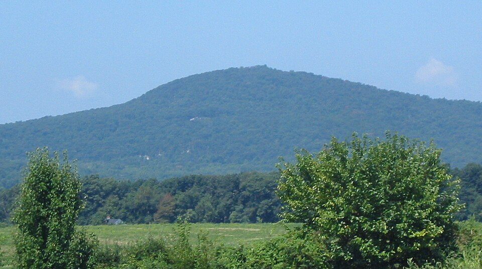
Sugar Loaf Mountain
Sugarloaf Mountain is a small (1,283 feet; 391 m) mountain and park about 10 miles (16 km) south of Frederick, Maryland.

A park & preserve, 5 mi southeast of Buckeystown
Ballenger Creek is the nearest base
Ballenger Creek is 8 miles north, with 18 places to stay. Where to stay ↓
A day trip from Baltimore
Baltimore is about 42 miles east (straight-line). Where to stay ↓
Best months: Apr, May, Jun, Sep and Oct
April, May, June, September and October are the mild months, with highs of 66–83°. When to go ↓
Written from NOAA 1991–2020 normals, Overture places to stay, Census town figures, Wikidata and Wikipedia.
Weather, month by month
Typical highs and lows in Buckeystown. Green months are the mild ones.
Sugar Loaf Mountain
Sugarloaf Mountain is a small (1,283 feet; 391 m) mountain and park about 10 miles (16 km) south of Frederick, Maryland. The closest village is Barnesville, located just over one mile from the foot of the mountain. The peak of this relatively low mountain is approximately 800 feet (244 m) higher than the surrounding farmland. It is visible from many parts of northern Montgomery County and southern Frederick County, notably from I-270 north of the town of Germantown. Because of its geological and natural history interest, it was designated a National Natural Landmark in 1969. It is a notable example of an admission-free (although donations are requested), privately owned scenic park.
- Type
- Park & preserve
- Area
- 3,136 acres
- Elevation
- 1,282 ft
- Listed
- National Natural Landmark (1969)
- Wikipedia readers
- 14K a year
Where to stay near Sugar Loaf Mountain
The closest towns with hotels, motels or campgrounds are Ballenger Creek (18) and Frederick (16), and Washington has the most rooms in the area (247).
Ballenger Creek
The closest town with somewhere to stay.
26,390 people
8 mi north of Sugar Loaf Mountain
Washington
The most places to stay in the area, and a base for a longer trip.
693,645 people
32 mi southeast of Sugar Loaf Mountain
Compare 9 towns
| Town | From Sugar Loaf Mountain | Drive | Places to stay | People | Typical home | Safety |
|---|---|---|---|---|---|---|
| Ballenger Creek | 8 mi north | 10 min | 18 17 hotels · 1 RV park | 26,390 | $387K | — |
| Frederick | 12 mi north | 20 min | 16 8 hotels · 2 motels · 3 inns & B&Bs · 3 lodges & cabins | 92,059 | $402K | C− |
| Gaithersburg | 13 mi southeast | 20 min | 16 14 hotels · 1 motel · 1 RV park | 71,113 | $497K | C+ |
| Leesburg | 14 mi southwest | 20 min | 11 8 hotels · 1 motel · 1 inn or B&B · 1 lodge or cabins | 49,917 | $668K | C |
| Germantown | 9 mi southeast | 15 min | 5 4 hotels · 1 motel | 90,719 | $422K | — |
| Rockville | 18 mi southeast | 25 min | 13 12 hotels · 1 lodge or cabins | 67,563 | $682K | B− |
| Bethesda | 24 mi southeast | 35 min | 26 23 hotels · 1 inn or B&B · 2 lodges & cabins | 69,397 | $1,170K | — |
| Harpers Ferry | 19 mi west | 30 min | 12 1 hotel · 10 inns & B&Bs · 1 lodge or cabins | 266 | $529K | — |
| Washington | 32 mi southeast | 50 min | 247 201 hotels · 2 motels · 24 inns & B&Bs · 6 lodges & cabins · 12 hostels · 2 campgrounds | 693,645 | $737K | D− |
Day trip from
Straight-line miles.
Getting there
Nearest airports with airline service
Also near Sugar Loaf Mountain
Other well-known places within 38 miles.
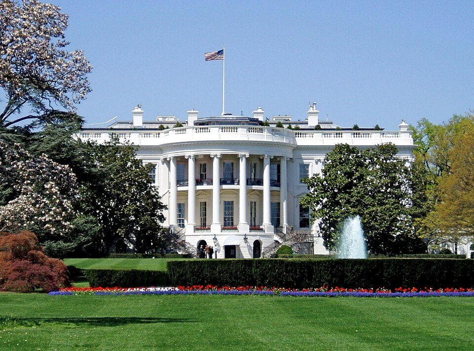 Big draw32 mi National park siteWhite House311K visitors a year
 Big draw32 mi National MemorialWashington Monument204K visitors a year
 Big draw32 mi LandmarkArlington National Cemetery
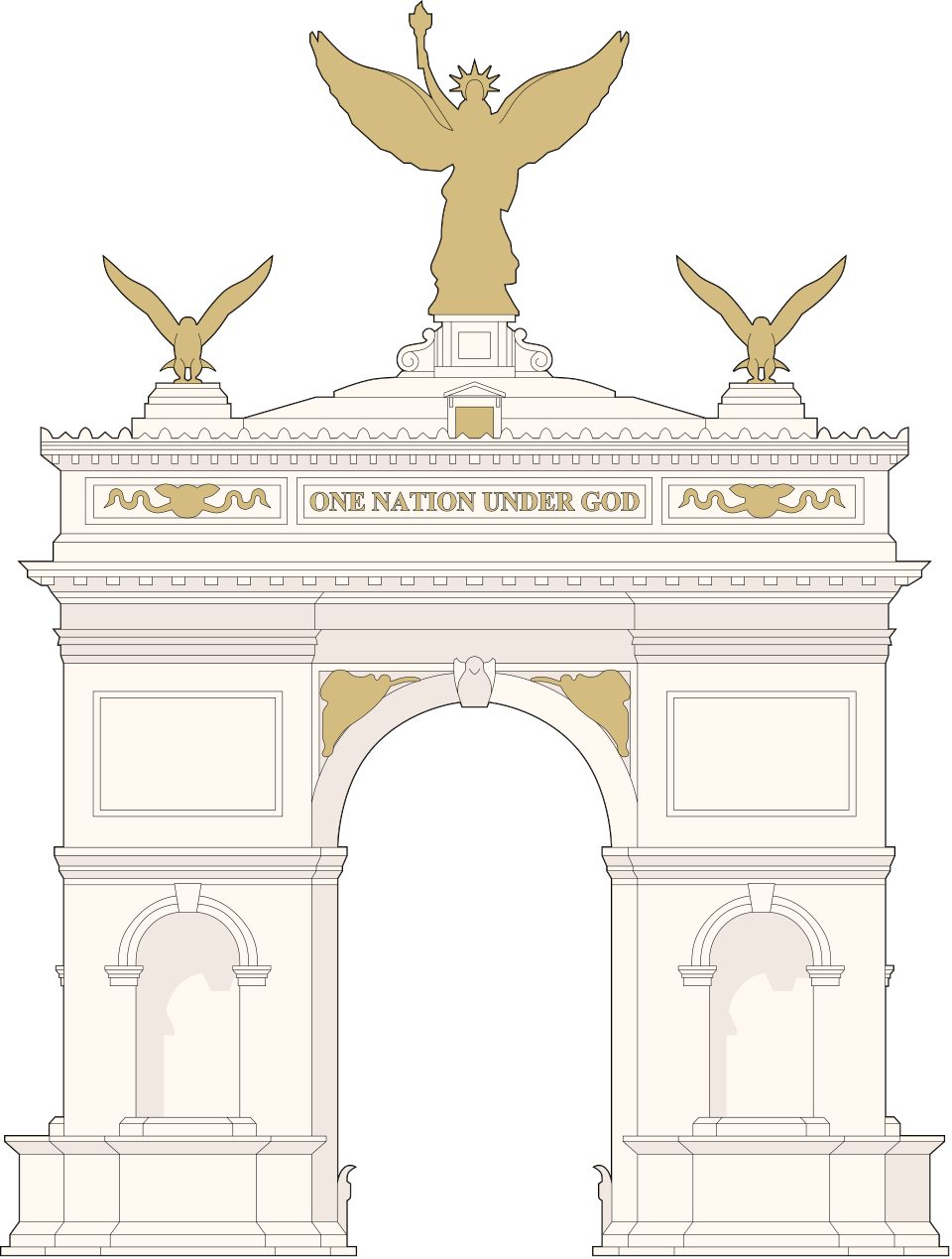 Big draw32 mi LandmarkUnited States Triumphal Arch
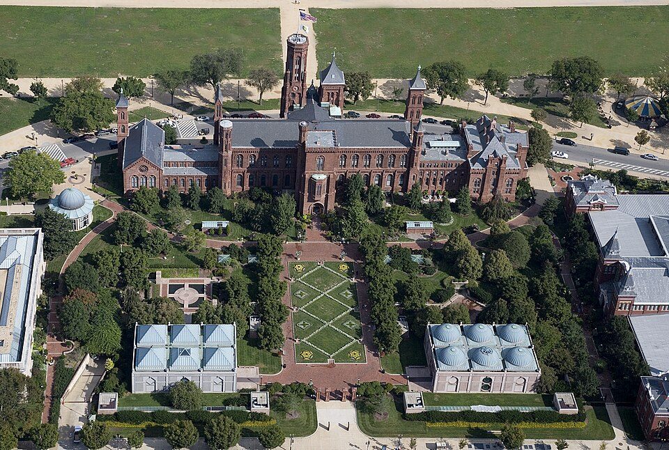 Big draw32 mi MuseumSmithsonian Institution30.0M visitors a year
 Big draw33 mi LandmarkRaven Rock Mountain Complex
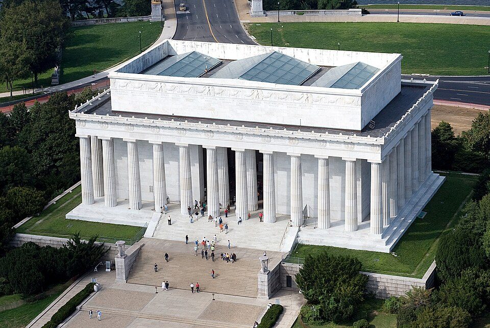 Big draw32 mi National MemorialLincoln Memorial7.7M visitors a year
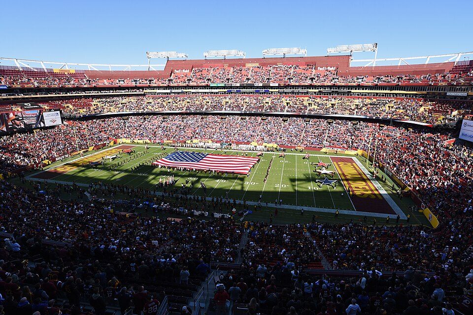 Big draw37 mi Stadium & arenaNorthwest Stadium
Photo credits
White House: This image or media was taken or created by Matt H. Wade. To see his entire port, CC BY-SA 3.0 · Washington Monument: Oren Rozen, CC BY-SA 4.0 · Arlington National Cemetery: Protoant, Public domain · United States Triumphal Arch: Hstoops, CC0 · Smithsonian Institution: Highsmith, Carol M., 1946-, photographer, Public domain · Raven Rock Mountain Complex: US Government, Public domain · Lincoln Memorial: Aerial_view_of_Lincoln_Memorial_-_east_side.jpg: Carol M. Highsmith derivative w, Public domain · Northwest Stadium: Maryland GovPics, CC BY 2.0


Visiting Sugar Loaf Mountain
What town is Sugar Loaf Mountain near?
Buckeystown, MD, about 5 miles northwest.
When is the best time to visit Sugar Loaf Mountain?
April, May, June, September and October, with highs of 66–83°.
How far is Sugar Loaf Mountain from Baltimore?
About 42 miles east of Baltimore, as the crow flies.
What is the closest airport to Sugar Loaf Mountain?
Washington Dulles (IAD), about 22 miles away.
Where should I stay near Sugar Loaf Mountain?
Ballenger Creek (8 mi, 18 places to stay), Washington (32 mi, 247 places to stay) and Frederick (12 mi, 16 places to stay).
Tips from people in Buckeystown
No tips yet. Ask, or answer, in Buckeystown’s Town Square.
Sources: National Park Service · ski areas © OpenSkiMap / OpenStreetMap contributors · Wikidata · Wikipedia readership · NOAA climate normals · U.S. Census.