
Starved Rock State Park
Starved Rock State Park is a state park in the U.S. state of Illinois, characterized by the many canyons within its 2,630 acres (1,064 ha). Its home town is Deer Park Township. It dates from 1911.

A state park inside Deer Park Township
Winters are cold
January nights drop to 15°, with about 24" of snow a year. When to go ↓
You can stay in Deer Park Township
Starved Rock State Park is inside Deer Park Township, which has 7 places to stay, so you won’t need a base farther out. Where to stay ↓
A day trip from Chicago
Chicago is about 76 miles northeast (straight-line). Where to stay ↓
Established in 1911
Starved Rock State Park dates from 1911. About ↓
Best months: May, Jun, Aug, Sep and Oct
May, June, August, September and October are the mild months, with highs of 64–83°. When to go ↓
Written from NOAA 1991–2020 normals, Overture places to stay, Census town figures, Wikidata and Wikipedia.
How the seasons run
Every month near Starved Rock is set out below.
Starved Rock State Park
Starved Rock State Park is a state park in the U.S. state of Illinois, characterized by the many canyons within its 2,630 acres (1,064 ha). Located just southeast of the village of Utica, in Deer Park Township, LaSalle County, Illinois, along the south bank of the Illinois River, the park hosts over two million visitors annually, the most for any Illinois state park.
A flood from a melting glacier, known as the Kankakee Torrent, which took place approximately 14,000–19,000 years ago led to the topography of the site and its exposed rock canyons. Diverse forest plant life exists in the park and the area supports several wild animal species. Of particular interest has been sport fishing species.
- Type
- State park
- Established
- 1911
- Area
- 2,630 acres
- Wikipedia readers
- 29K a year
Staying near Starved Rock State Park
Lodging nearby is in Deer Park Township (7) and Ottawa (15).
Compare 8 towns
| Town | From Starved Rock | Drive | Places to stay | People | Typical home | Safety |
|---|---|---|---|---|---|---|
| Deer Park Township | in town | — | 7 1 hotel · 1 inn or B&B · 2 lodges & cabins · 3 campgrounds | 470 | $252K | — |
| Ottawa | 9 mi east | 15 min | 15 11 hotels · 2 motels · 2 lodges & cabins | 18,684 | $154K | C+ |
| LaSalle Township | 5 mi west | 5 min | 8 6 hotels · 1 motel · 1 lodge or cabins | 13,152 | $123K | — |
| Peru | 8 mi west | 10 min | 8 8 hotels | 9,780 | $154K | C+ |
| North Utica | 3 mi northwest | 5 min | 5 3 hotels · 1 inn or B&B · 1 lodge or cabins | 1,334 | $238K | A |
| Peru Township | 8 mi west | 10 min | 6 5 hotels · 1 campground | 10,001 | $157K | — |
| Dayton Township | 12 mi northeast | 15 min | 9 6 hotels · 1 motel · 1 lodge or cabins · 1 campground | 2,379 | $255K | — |
| Oglesby | 5 mi southwest | 5 min | 4 4 hotels | 3,618 | $140K | — |
Day trip from
Straight-line miles.
Getting there
Nearest airports with airline service
Nearby, too
All of these are within 70 miles.
 68 mi Stadium & arenaSeatGeek Stadium
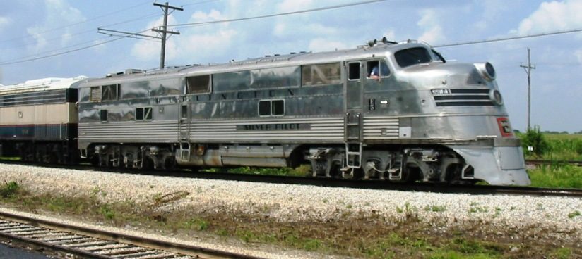 67 mi MuseumIllinois Railway Museum
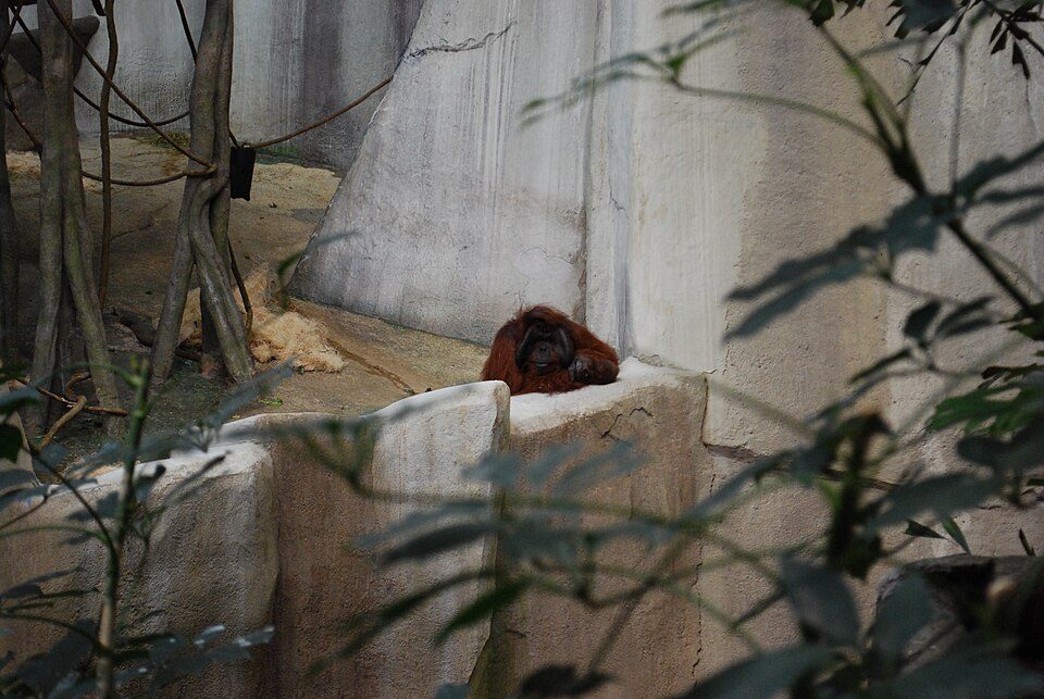 69 mi Zoo & aquariumBrookfield Zoo
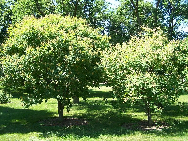 59 mi MuseumMorton Arboretum
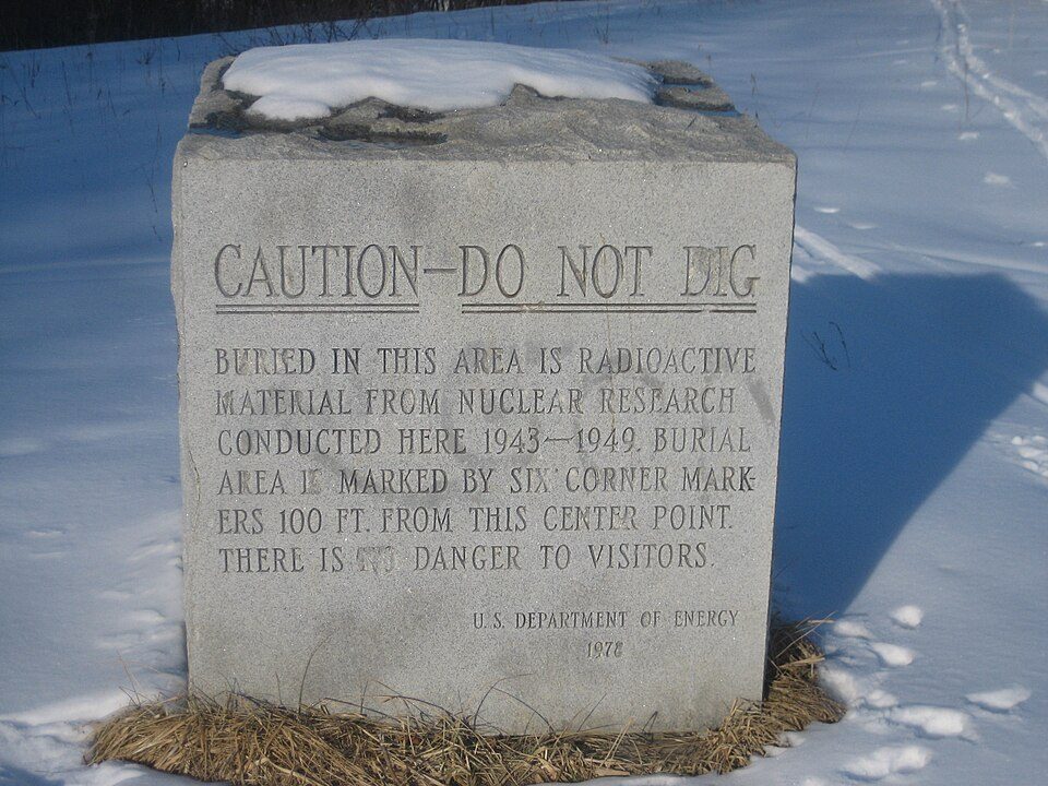 62 mi LandmarkSite A / Plot M Disposal Site
 66 mi Stadium & arenaBMO Center
 44 mi National Historic SiteRonald Reagan Boyhood Home National Historic Site
Photo credits
SeatGeek Stadium: Khvmty, CC BY-SA 3.0 · Illinois Railway Museum: The original uploader was Slambo at English Wikipedia., CC BY-SA 2.0 · Brookfield Zoo: Ronincmc, CC BY-SA 4.0 · Morton Arboretum: Bruce Marlin, CC BY-SA 2.5 · Site A / Plot M Disposal Site: Eric Schmuttenmaer, CC BY-SA 2.0 · BMO Center: SimLibrarian, CC0 · Ronald Reagan Boyhood Home National Historic Site: Teemu008 from Palatine, Illinois, CC BY-SA 2.0


Starved Rock: what to know
Is Starved Rock State Park in Deer Park Township?
Yes. It’s inside Deer Park Township, IL.
When is the best time to visit Starved Rock State Park?
May, June, August, September and October, with highs of 64–83°.
How far is Starved Rock State Park from Chicago?
About 76 miles northeast of Chicago, as the crow flies.
What is the closest airport to Starved Rock State Park?
General Wayne A. Downing Peoria (PIA), about 58 miles away. The nearest big hub is Chicago Midway (MDW), about 72 miles.
Where should I stay near Starved Rock State Park?
Ottawa (9 mi, 15 places to stay), Deer Park Township (in town, 7 places to stay) and LaSalle Township (5 mi, 8 places to stay).
From people who live in Deer Park Township
What people nearby have posted about Starved Rock.
Sources: National Park Service · ski areas © OpenSkiMap / OpenStreetMap contributors · Wikidata · Wikipedia readership · NOAA climate normals · U.S. Census.