Smithsonian Environmental Research Center
The Smithsonian Environmental Research Center (SERC) is a United States 2,650-acre (10.7 km2) environmental research and educational facility operated by the Smithsonian Institution. Head 2 mi southwest of Mayo to reach it. It dates from 1964.
A museum, 2 mi southwest of Mayo
Annapolis is the nearest base
Annapolis is 6 miles north, with 27 places to stay. Where to stay ↓
Best months: Apr, May, Jun, Sep and Oct
April, May, June, September and October are the mild months, with highs of 66–83°. When to go ↓
Established in 1964
Smithsonian Environmental Research Center dates from 1964. About ↓
Written from NOAA 1991–2020 normals, Overture places to stay, Census town figures, Wikidata and Wikipedia.
The weather by month
Every month near Smithsonian Environmental Research Center is set out below.
Smithsonian Environmental Research Center
The Smithsonian Environmental Research Center (SERC) is a United States 2,650-acre (10.7 km2) environmental research and educational facility operated by the Smithsonian Institution. It is located on the Rhode and West Rivers near Edgewater in Anne Arundel County, Maryland, near the western shore of the Chesapeake Bay. Research at SERC includes long-term experiments and global data synthesis to understand the ecosystem function of forests, farms, and coasts. Research at SERC is applied to inform real-world decision-making over local to international scales.
- Type
- Museum
- Established
- 1964
- Wikipedia readers
- 1.5K a year
Overnight near Smithsonian Environmental Research Center
The closest towns with hotels, motels or campgrounds are Annapolis (27) and Washington (247).
- 1White House
- 2Washington Monument
- 3Arlington National Cemetery
- 4United States Triumphal Arch
- 5Smithsonian Institution
- 6Northwest Stadium
- 7Lincoln Memorial
- 8Tomb of the Unknown Soldier
Annapolis
The closest town with somewhere to stay.
40,634 people
6 mi north of Smithsonian Environmental Research Center
Compare 8 towns
| Town | From Smithsonian Environmental Research Center | Drive | Places to stay | People | Typical home | Safety |
|---|---|---|---|---|---|---|
| Annapolis | 6 mi north | 10 min | 27 15 hotels · 12 inns & B&Bs | 40,634 | $549K | D |
| Washington | 26 mi west | 40 min | 247 201 hotels · 2 motels · 24 inns & B&Bs · 6 lodges & cabins · 12 hostels · 2 campgrounds | 693,645 | $737K | D− |
| Parole | 7 mi north | 10 min | 20 16 hotels · 1 motel · 2 inns & B&Bs · 1 campground | 17,229 | $534K | — |
| Baltimore | 29 mi north | 45 min | 115 91 hotels · 3 motels · 11 inns & B&Bs · 4 lodges & cabins · 4 hostels · 1 campground · 1 RV park | 569,997 | $230K | D− |
| St. Michaels | 19 mi east | 30 min | 22 5 hotels · 14 inns & B&Bs · 3 lodges & cabins | 1,083 | $566K | C+ |
| Linthicum | 23 mi north | 35 min | 35 34 hotels · 1 motel | 11,313 | $402K | — |
| Lake Arbor | 16 mi west | 25 min | 13 13 hotels | 14,335 | $461K | — |
| Mayo | 2 mi northeast | 5 min | 3 1 hotel · 2 campgrounds | 8,694 | $605K | — |
Getting there
Nearest airports with airline service
Next door to Smithsonian Environmental Research Center
Within 29 miles you can add these well-known places.
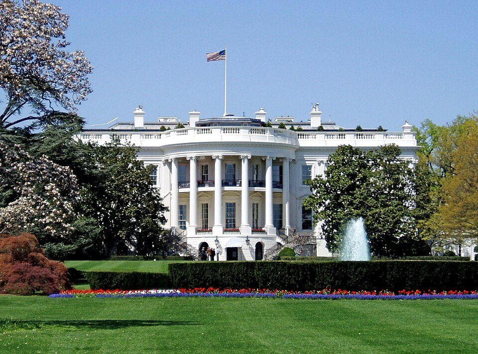 Big draw127 mi National park siteWhite House311K visitors a year
 Big draw226 mi National MemorialWashington Monument204K visitors a year
 Big draw328 mi LandmarkArlington National Cemetery
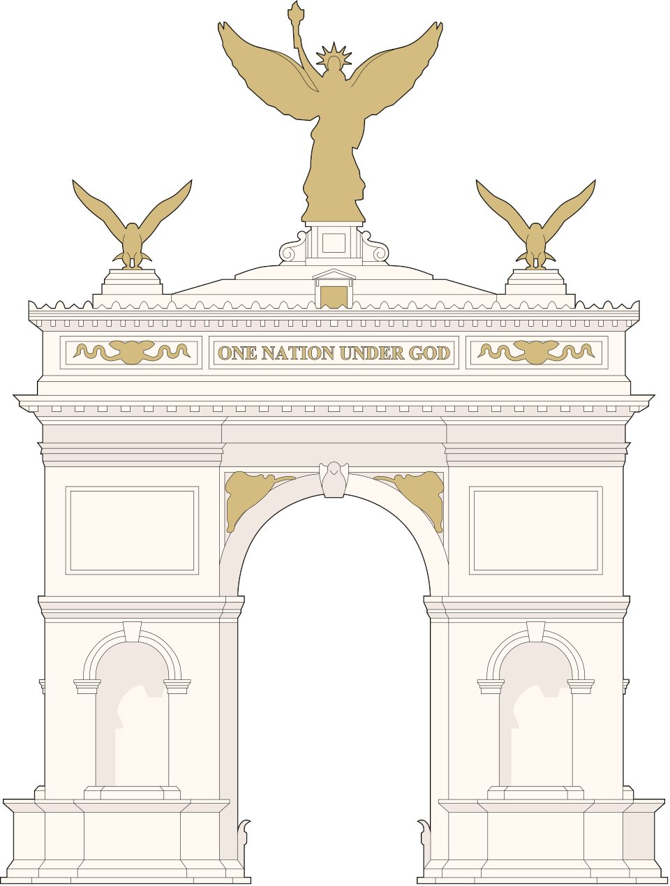 Big draw428 mi LandmarkUnited States Triumphal Arch
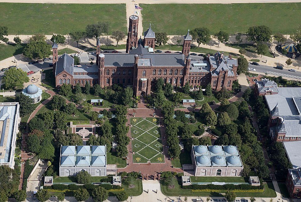 Big draw526 mi MuseumSmithsonian Institution30.0M visitors a year
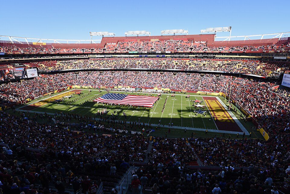 Big draw617 mi Stadium & arenaNorthwest Stadium
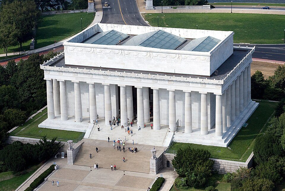 Big draw727 mi National MemorialLincoln Memorial7.7M visitors a year
 Big draw828 mi LandmarkTomb of the Unknown Soldier
Photo credits
White House: This image or media was taken or created by Matt H. Wade. To see his entire port, CC BY-SA 3.0 · Washington Monument: Oren Rozen, CC BY-SA 4.0 · Arlington National Cemetery: Protoant, Public domain · United States Triumphal Arch: Hstoops, CC0 · Smithsonian Institution: Highsmith, Carol M., 1946-, photographer, Public domain · Northwest Stadium: Maryland GovPics, CC BY 2.0 · Lincoln Memorial: Aerial_view_of_Lincoln_Memorial_-_east_side.jpg: Carol M. Highsmith derivative w, Public domain · Tomb of the Unknown Soldier: Arlington National Cemetery, Public domain


Questions about Smithsonian Environmental Research Center
What town is Smithsonian Environmental Research Center near?
Mayo, MD, about 2 miles northeast.
When is the best time to visit Smithsonian Environmental Research Center?
April, May, June, September and October, with highs of 66–83°.
What is the closest airport to Smithsonian Environmental Research Center?
Baltimore/Washington International Thurgood Marshall (BWI), about 21 miles away.
Where should I stay near Smithsonian Environmental Research Center?
Annapolis (6 mi, 27 places to stay), Washington (26 mi, 247 places to stay) and Parole (7 mi, 20 places to stay).
Inside knowledge from Mayo
There are no tips yet, so start one in Mayo’s Town Square.
Sources: National Park Service · ski areas © OpenSkiMap / OpenStreetMap contributors · Wikidata · Wikipedia readership · NOAA climate normals · U.S. Census.