
Seneca Creek State Park
Seneca Creek State Park is a Maryland state park encompassing more than 6,300 acres (2,500 ha) along 14 miles of Seneca Creek in its run to the Potomac River. Its address puts it 2 mi south of Germantown. Running it is Maryland Department of Natural Resources.

A state park, 2 mi south of Germantown
Germantown is the nearest base
Germantown is 2 miles north, with 5 places to stay. Where to stay ↓
A day trip from Baltimore
Baltimore is about 36 miles east (straight-line). Where to stay ↓
Best months: Apr, May, Jun, Sep and Oct
April, May, June, September and October are the mild months, with highs of 65–82°. When to go ↓
Established in 1958
Seneca Creek State Park dates from 1958 and is run by Maryland Department of Natural Resources. About ↓
Written from NOAA 1991–2020 normals, Overture places to stay, Census town figures, Wikidata and Wikipedia.
Weather through the year
The weather near Seneca Creek shifts through the year, as below.
Seneca Creek State Park
Seneca Creek State Park is a Maryland state park encompassing more than 6,300 acres (2,500 ha) along 14 miles of Seneca Creek in its run to the Potomac River in Montgomery County, Maryland, United States. The park features facilities for boating and fishing as well as trails for hiking, cycling, and horseback riding. It is managed by the Maryland Department of Natural Resources.
- Type
- State park
- Established
- 1958
- Area
- 6,300 acres
- Elevation
- 223 ft
- Run by
- Maryland Department of Natural Resources
- Wikipedia readers
- 8K a year
Where to stay near Seneca Creek State Park
To stay close, try Washington (247) and Gaithersburg (16).
- 1White House
- 2Washington Monument
- 3Arlington National Cemetery
- 4United States Triumphal Arch
- 5Smithsonian Institution
- 6Lincoln Memorial
- 7Northwest Stadium
- 8Tomb of the Unknown Soldier
Washington
The closest town with somewhere to stay.
693,645 people
21 mi southeast of Seneca Creek
Compare 8 towns
| Town | From Seneca Creek | Drive | Places to stay | People | Typical home | Safety |
|---|---|---|---|---|---|---|
| Washington | 21 mi southeast | 30 min | 247 201 hotels · 2 motels · 24 inns & B&Bs · 6 lodges & cabins · 12 hostels · 2 campgrounds | 693,645 | $737K | D− |
| Gaithersburg | 3 mi east | 5 min | 16 14 hotels · 1 motel · 1 RV park | 71,113 | $497K | C+ |
| Rockville | 7 mi southeast | 10 min | 13 12 hotels · 1 lodge or cabins | 67,563 | $682K | B− |
| Bethesda | 13 mi southeast | 20 min | 26 23 hotels · 1 inn or B&B · 2 lodges & cabins | 69,397 | $1,170K | — |
| Arlington | 20 mi southeast | 30 min | 58 54 hotels · 1 motel · 1 inn or B&B · 2 lodges & cabins | 236,254 | $895K | — |
| North Bethesda | 11 mi southeast | 15 min | 13 13 hotels | 49,677 | $732K | — |
| Tysons | 16 mi south | 25 min | 25 25 hotels | 28,936 | $640K | — |
| Germantown | 2 mi north | 5 min | 5 4 hotels · 1 motel | 90,719 | $422K | — |
Getting there
Nearest airports with airline service
While you are near Seneca Creek
Pair a visit with these, within 27 miles.
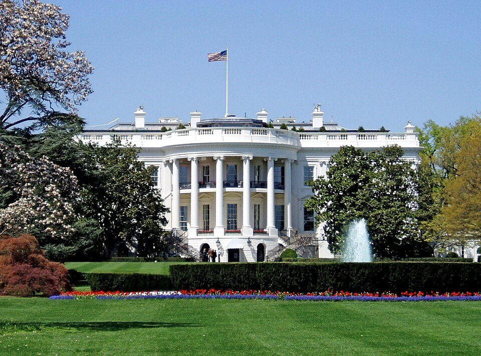 Big draw121 mi National park siteWhite House311K visitors a year
 Big draw221 mi National MemorialWashington Monument204K visitors a year
 Big draw321 mi LandmarkArlington National Cemetery
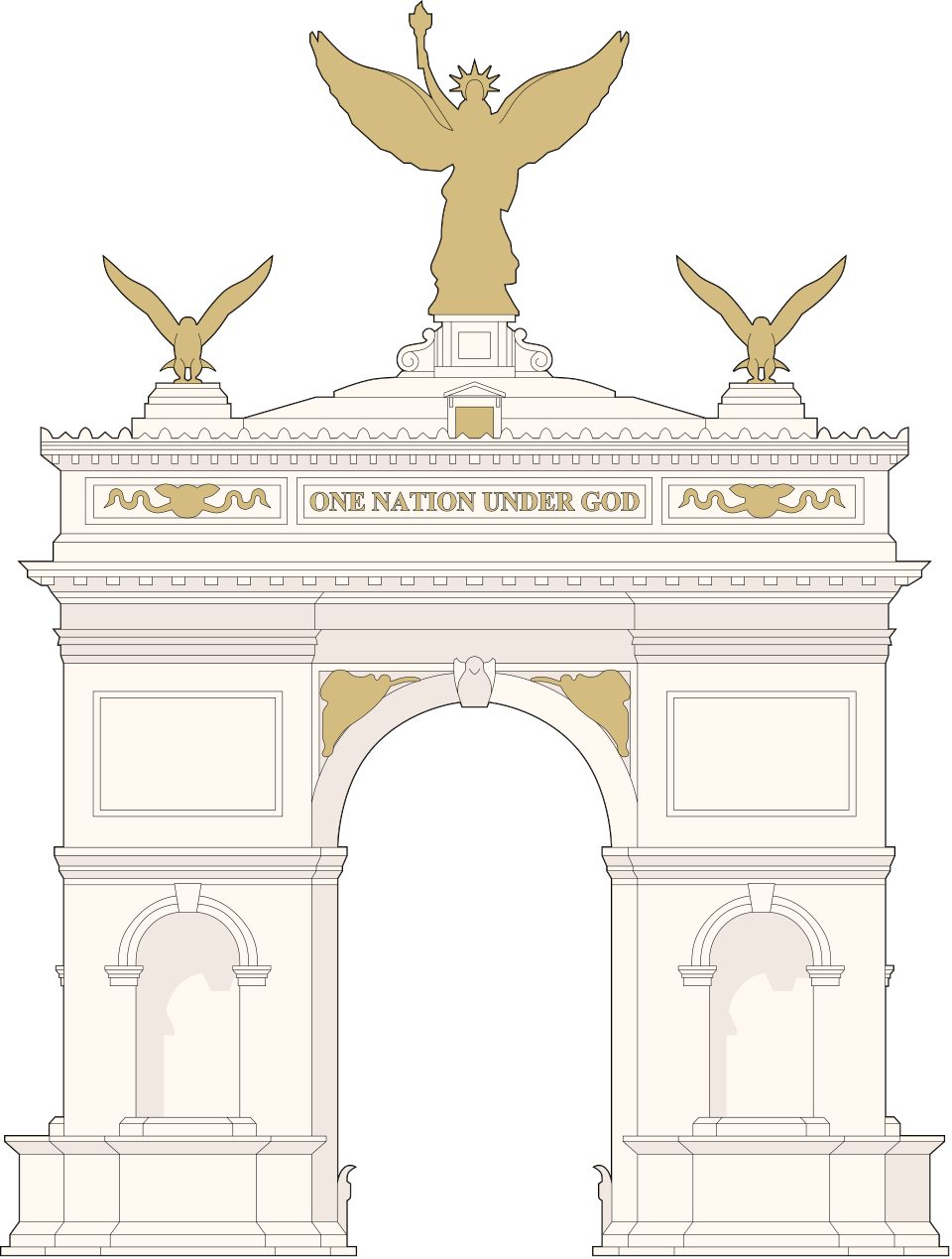 Big draw421 mi LandmarkUnited States Triumphal Arch
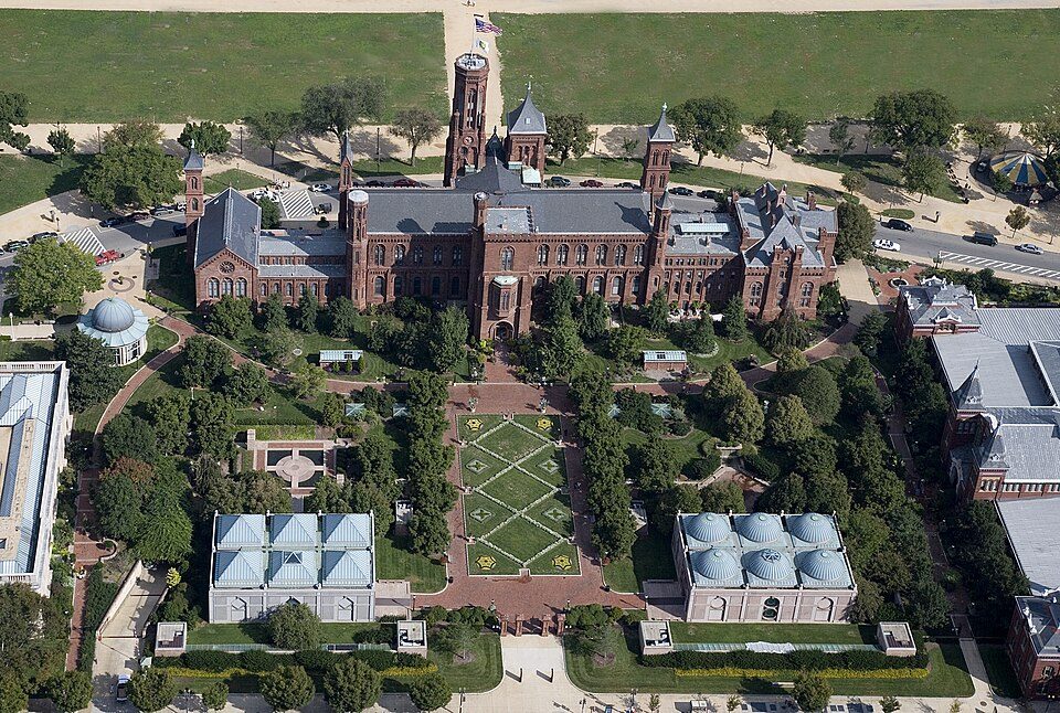 Big draw522 mi MuseumSmithsonian Institution30.0M visitors a year
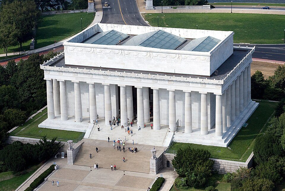 Big draw621 mi National MemorialLincoln Memorial7.7M visitors a year
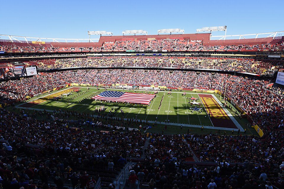 Big draw727 mi Stadium & arenaNorthwest Stadium
 Big draw821 mi LandmarkTomb of the Unknown Soldier
Photo credits
White House: This image or media was taken or created by Matt H. Wade. To see his entire port, CC BY-SA 3.0 · Washington Monument: Oren Rozen, CC BY-SA 4.0 · Arlington National Cemetery: Protoant, Public domain · United States Triumphal Arch: Hstoops, CC0 · Smithsonian Institution: Highsmith, Carol M., 1946-, photographer, Public domain · Lincoln Memorial: Aerial_view_of_Lincoln_Memorial_-_east_side.jpg: Carol M. Highsmith derivative w, Public domain · Northwest Stadium: Maryland GovPics, CC BY 2.0 · Tomb of the Unknown Soldier: Arlington National Cemetery, Public domain


Visiting Seneca Creek: the answers
What town is Seneca Creek State Park near?
Germantown, MD, about 2 miles north.
When is the best time to visit Seneca Creek State Park?
April, May, June, September and October, with highs of 65–82°.
How far is Seneca Creek State Park from Baltimore?
About 36 miles east of Baltimore, as the crow flies.
What is the closest airport to Seneca Creek State Park?
Washington Dulles (IAD), about 18 miles away.
Where should I stay near Seneca Creek State Park?
Washington (21 mi, 247 places to stay), Gaithersburg (3 mi, 16 places to stay) and Rockville (7 mi, 13 places to stay).
Word from Germantown
There are no tips yet, so start one in Germantown’s Town Square.
Sources: National Park Service · ski areas © OpenSkiMap / OpenStreetMap contributors · Wikidata · Wikipedia readership · NOAA climate normals · U.S. Census.