
Picacho Peak State Park
Picacho Peak State Park is a state park surrounding Picacho Peak in Picacho, Arizona. Its story as a place to visit starts in 1965. Expect 71–78°F afternoons in the mildest months, February, March and November.

A state park, 7 mi southeast of Picacho
Summers are hot
June, July and August highs run 103–105°, and about 176 days a year reach 90°. When to go ↓
Eloy is the nearest base
Eloy is 13 miles northwest, with 11 places to stay. Where to stay ↓
A day trip from Tucson
Tucson is about 46 miles southeast and Mesa is about 56 miles north (straight-line). Where to stay ↓
Best months: Feb, Mar and Nov
February, March and November are the mild months, with highs of 71–78°. When to go ↓
Established in 1965
Picacho Peak State Park dates from 1965. About ↓
Written from NOAA 1991–2020 normals, Overture places to stay, Census town figures, Wikidata and Wikipedia.
The year’s weather
Here are the months at Picacho Peak, with their weather.
Picacho Peak State Park
Picacho Peak State Park is a state park surrounding Picacho Peak in Picacho, Arizona. The park is located between Casa Grande and Tucson near Interstate 10 in Pinal County. Its centerpiece spire is visible from downtown Tucson, a distance of 45 miles (72 km). The summit rises to 3,374 feet (1,028 m) above mean sea level. Though appearing to be the remnant of a volcanic neck, it is now believed to be a tilted and eroded piece of rock overlain by a lava flow.
- Type
- State park
- Established
- 1965
- Wikipedia readers
- 9.9K a year
Where to stay near Picacho Peak State Park
Places to stay start in Eloy (11) and Marana (24).
Eloy
The closest town with somewhere to stay.
19,967 people
13 mi northwest of Picacho Peak
Compare 8 towns
| Town | From Picacho Peak | Drive | Places to stay | People | Typical home | Safety |
|---|---|---|---|---|---|---|
| Eloy | 13 mi northwest | 20 min | 11 9 hotels · 1 motel · 1 RV park | 19,967 | $255K | C |
| Marana | 20 mi southeast | 30 min | 24 19 hotels · 3 motels · 1 inn or B&B · 1 RV park | 65,523 | $414K | B− |
| Casa Grande | 28 mi northwest | 40 min | 26 14 hotels · 3 motels · 9 RV parks | 69,753 | $304K | C− |
| Picacho | 7 mi northwest | 10 min | 1 1 campground | 297 | — | — |
| Arizona City | 17 mi northwest | 25 min | 3 1 hotel · 2 RV parks | 9,543 | $244K | — |
| Coolidge | 22 mi north | 35 min | 5 2 motels · 3 RV parks | 19,959 | $255K | C+ |
| Oro Valley | 29 mi southeast | 45 min | 10 10 hotels | 48,085 | $476K | B+ |
| Picture Rocks | 22 mi southeast | 35 min | 3 1 hotel · 2 inns & B&Bs | 9,448 | $230K | — |
Day trip from
Straight-line miles.
Getting there
Nearest airports with airline service
After Picacho Peak
These well-known sights sit within 68 miles.
 68 mi Stadium & arenaMortgage Matchup Center
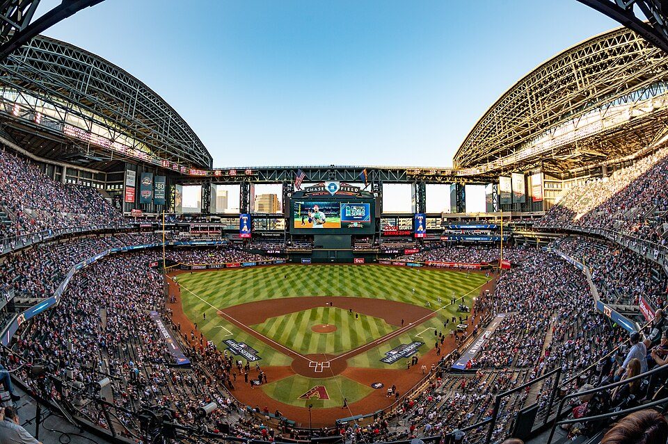 68 mi Stadium & arenaChase Field
 63 mi Stadium & arenaMountain America Stadium
 39 mi Stadium & arenaArizona Stadium
 39 mi MountainMount Lemmon
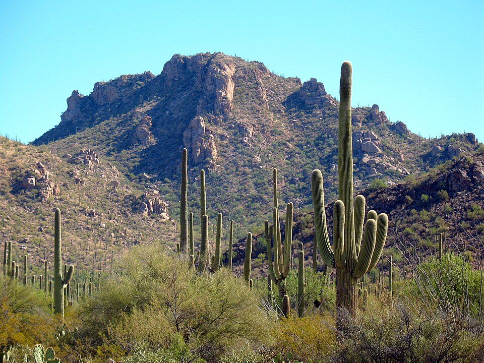 56 mi National ParkSaguaro National Park848K visitors a year
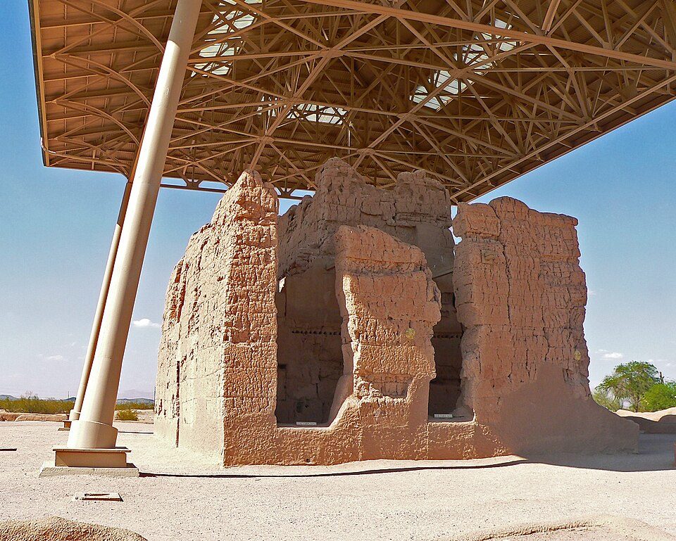 126 mi National MonumentCasa Grande Ruins National Monument88K visitors a year
 47 mi MuseumPima Air & Space Museum
Photo credits
Mortgage Matchup Center: Troutfarm27, CC BY-SA 4.0 · Chase Field: U.S. Air Force photo by Staff Sgt. Tyler J. Bolken, Public domain · Mountain America Stadium: Clintus McGintus, CC BY-SA 2.0 · Arizona Stadium: Wcarlisle4, CC BY-SA 3.0 · Mount Lemmon: Debby Kriegel, Public domain · Saguaro National Park: Luke Jones from Yucca Valley, CC BY 2.0 · Casa Grande Ruins National Monument: Greg Hume, CC BY-SA 3.0 · Pima Air & Space Museum: The original uploader was MCB at English Wikipedia. Later versions were uploade, CC BY-SA 2.5


A visit to Picacho Peak: questions
What town is Picacho Peak State Park near?
Picacho, AZ, about 7 miles northwest.
When is the best time to visit Picacho Peak State Park?
February, March and November, with highs of 71–78°.
How far is Picacho Peak State Park from Tucson and Mesa?
About 46 miles southeast of Tucson and about 56 miles north of Mesa, as the crow flies.
What is the closest airport to Picacho Peak State Park?
Tucson (TUS), about 45 miles away.
Where should I stay near Picacho Peak State Park?
Eloy (13 mi, 11 places to stay), Marana (20 mi, 24 places to stay) and Casa Grande (28 mi, 26 places to stay).
Inside knowledge from Picacho
Nobody has posted a tip yet; ask or answer in Picacho’s Town Square.
Sources: National Park Service · ski areas © OpenSkiMap / OpenStreetMap contributors · Wikidata · Wikipedia readership · NOAA climate normals · U.S. Census.