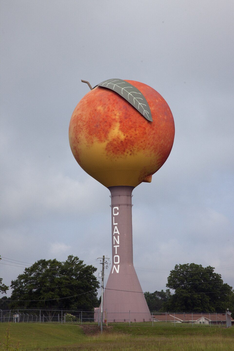
Peachoid
The Peachoid is a 135 foot (41 m) tall water tower in Gaffney, South Carolina, U.S., that was built in 1981 to resemble a peach. Further out, Cowpens is 8 mi away. Its mildest months, April, May, September and October, bring highs of 73–82°F.
A landmark inside Gaffney
You can stay in Gaffney
Peachoid is inside Gaffney, which has 9 places to stay, so you won’t need a base farther out. Where to stay ↓
A day trip from Charlotte
Charlotte is about 49 miles east (straight-line). Where to stay ↓
Best months: Apr, May, Sep and Oct
April, May, September and October are the mild months, with highs of 73–82°. When to go ↓
Written from NOAA 1991–2020 normals, Overture places to stay, Census town figures and Wikipedia.
Choosing a month
Below are typical highs and lows near Peachoid.
Peachoid
The Peachoid is a 135 foot (41 m) tall water tower in Gaffney, South Carolina, U.S., that was built in 1981 to resemble a peach. The water tower holds one million U.S. gallons (3.78541 million litres) of water and is located off Peachoid Road by Interstate 85 between exits 90 and 92 (near the Cherokee Foothills Scenic Highway). Usually referred to by locals as "The Peach" and by passing motorists as "Mr. Peach" or "The Moon over Gaffney", the water tank is visible for several miles around these exits.
An example of novelty architecture, the Peachoid is one of the most recognizable landmarks for travelers along I-85 between Charlotte, North Carolina, and Atlanta, Georgia.
- Type
- Landmark
- Wikipedia readers
- 16K a year
Lodging near Peachoid
For a bed close by, look to Gaffney (9) and Shelby (18).
Compare 8 towns
| Town | From Peachoid | Drive | Places to stay | People | Typical home | Safety |
|---|---|---|---|---|---|---|
| Gaffney | in town | — | 9 7 hotels · 2 motels | 12,583 | $138K | D |
| Shelby | 16 mi northeast | 25 min | 18 11 hotels · 2 motels · 2 inns & B&Bs · 1 lodge or cabins · 2 campgrounds | 23,309 | $197K | D |
| Spartanburg | 17 mi southwest | 25 min | 19 14 hotels · 2 motels · 1 inn or B&B · 2 lodges & cabins | 39,978 | $204K | — |
| Blacksburg | 10 mi east | 15 min | 7 2 lodges & cabins · 3 campgrounds · 2 RV parks | 1,965 | $157K | C |
| East Gaffney | 4 mi east | 5 min | 2 1 hotel · 1 RV park | 2,824 | $78K | — |
| Hilltop | 18 mi southwest | 25 min | 10 9 hotels · 1 motel | 2,950 | $126K | — |
| Forest City | 20 mi northwest | 30 min | 13 9 hotels · 2 motels · 1 lodge or cabins · 1 campground | 7,410 | $161K | D− |
| Boiling Springs | 11 mi north | 15 min | 3 2 hotels · 1 campground | 4,799 | $265K | — |
Getting there
Nearest airports with airline service
Also within reach
These lie within 66 miles as the crow flies.
 Big draw57 mi MountainMount Mitchell
 Big draw48 mi Stadium & arenaBank of America Stadium
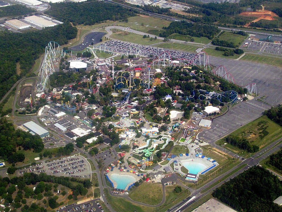 42 mi Theme parkCarowinds
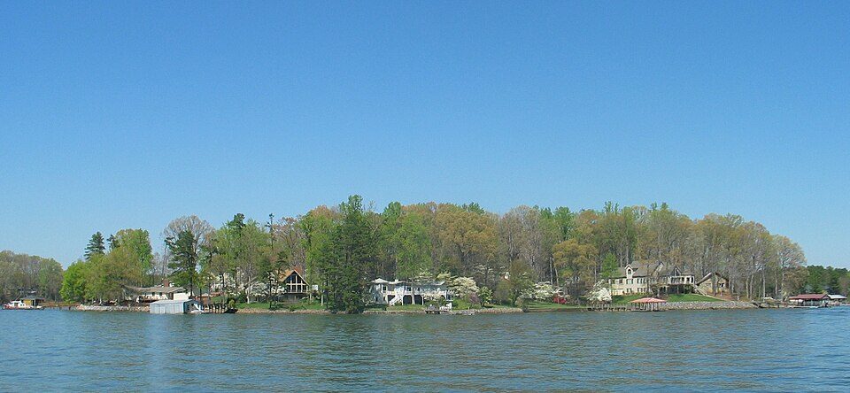 50 mi LakeLake Norman44 mi MuseumSullenberger Aviation Museum70K visitors a year
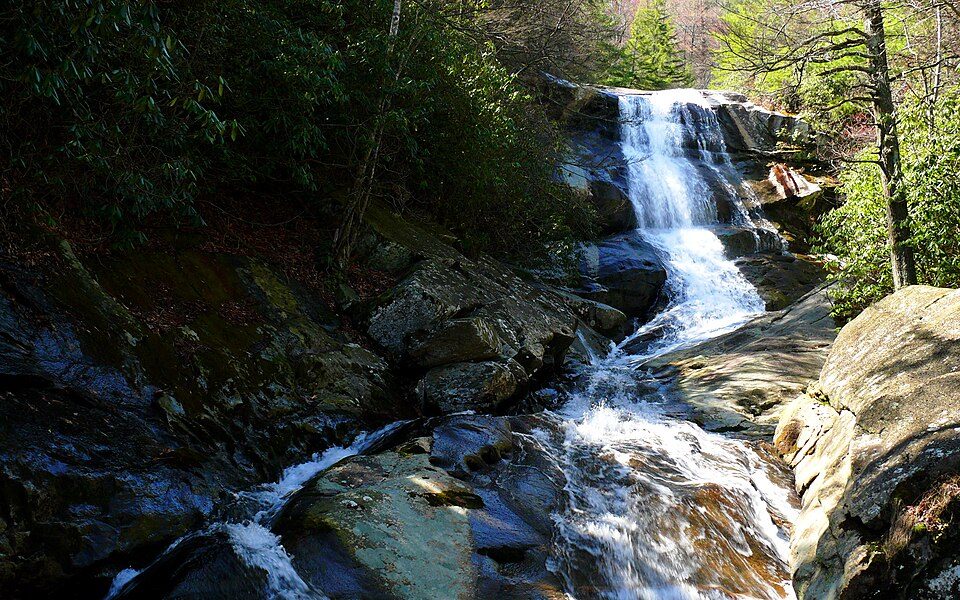 65 mi National forestPisgah National Forest
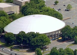 51 mi Stadium & arenaBojangles Coliseum
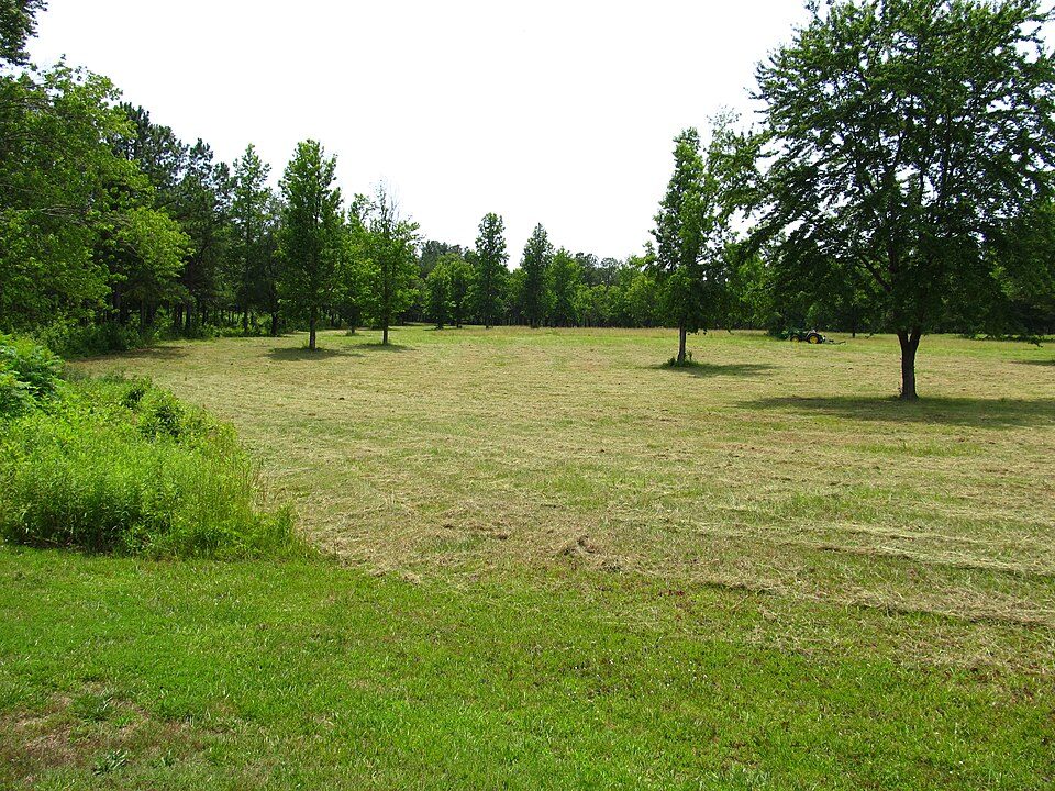 18 mi National BattlefieldCowpens National Battlefield175K visitors a year
Photo credits
Mount Mitchell: Unknown, Public domain · Bank of America Stadium: HangingCurve, CC BY-SA 4.0 · Carowinds: Pi.1415926535, CC BY-SA 3.0 · Lake Norman: Prince Grobhelm, CC BY-SA 3.0 · Pisgah National Forest: Ken Thomas, Public domain · Bojangles Coliseum: James Willamor, CC BY-SA 3.0 · Cowpens National Battlefield: Ken Lund from Reno, Nevada, USA, CC BY-SA 2.0


Peachoid, answered
Is Peachoid in Gaffney?
Yes. It’s inside Gaffney, SC.
When is the best time to visit Peachoid?
April, May, September and October, with highs of 73–82°.
How far is Peachoid from Charlotte?
About 49 miles east of Charlotte, as the crow flies.
What is the closest airport to Peachoid?
Greenville-Spartanburg (GSP), about 33 miles away. The nearest big hub is Charlotte Douglas (CLT), about 43 miles.
Where should I stay near Peachoid?
Gaffney (in town, 9 places to stay), Shelby (16 mi, 18 places to stay) and Spartanburg (17 mi, 19 places to stay).
Ask a local in Gaffney
Nobody has posted a tip yet; ask or answer in Gaffney’s Town Square.
Sources: National Park Service · ski areas © OpenSkiMap / OpenStreetMap contributors · Wikidata · Wikipedia readership · NOAA climate normals · U.S. Census.