
Virginia LakesCA
A town.
Is Virginia Lakes a good place to live?
Virginia Lakes’ July high is 65°F, against 89°F in California’s towns and 85°F across U.S. towns. No town among the 847 in California we compare has a lower January low than Virginia Lakes. 63% of the land in Virginia Lakes is conserved, where California’s towns sit at 4.3% and U.S. towns at 4.3%. The biggest park or preserve is Hoover Wilderness, at 134 acres. We don’t grade Virginia Lakes yet; the figures below are still real.
Yosemite National Park and 21 more within 40 miles
Museums, parks, gardens and other places to visit around Virginia Lakes. Close and well known come first.
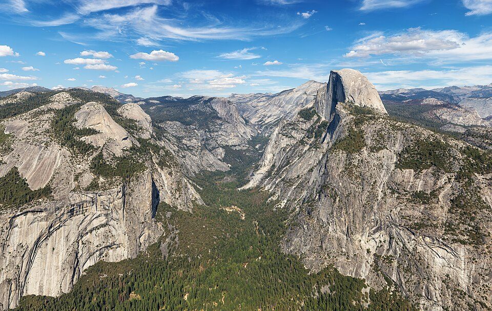 Big draw3 mi National ParkYosemite National Park4.3M visitors a year
 14 mi LakeMono Lake
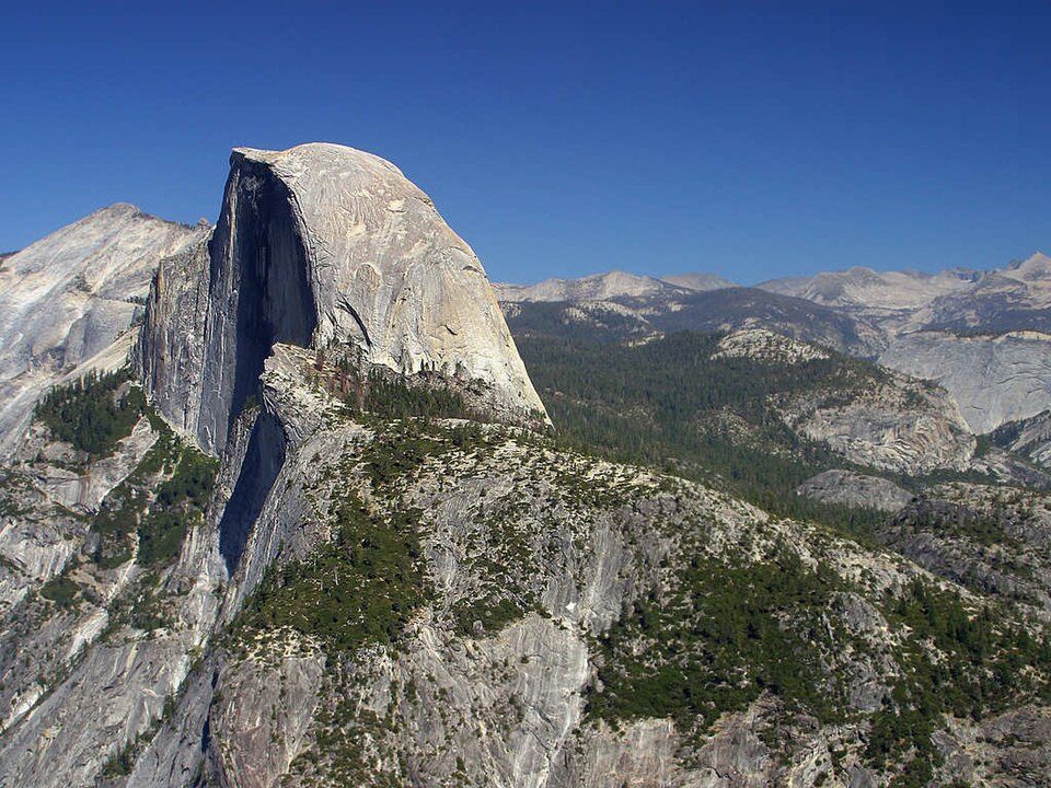 Big draw25 mi MountainHalf Dome
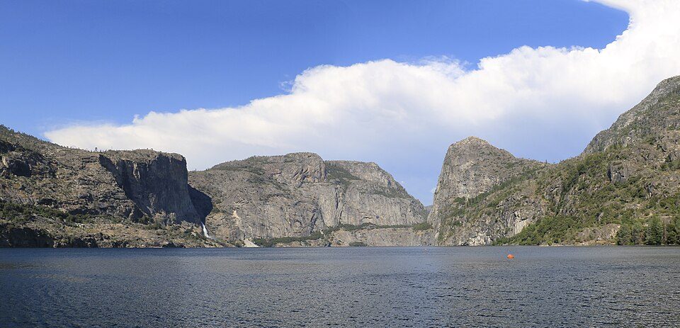 30 mi LakeHetch Hetchy
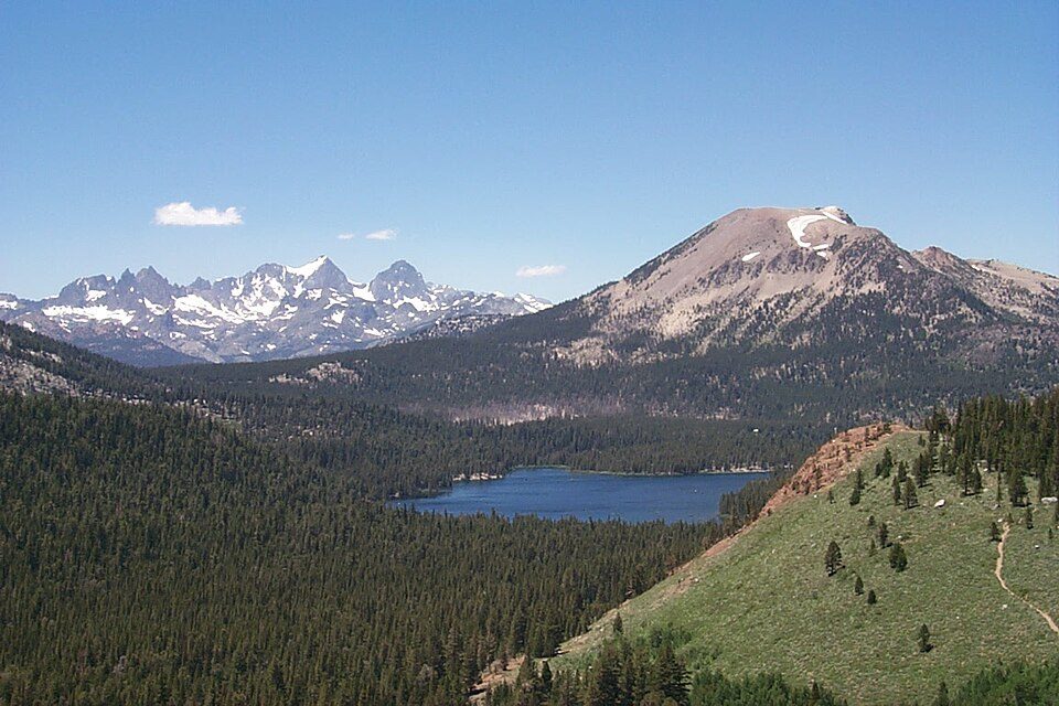 31 mi Ski areaMammoth Mountain153 runs · 2,962 ft vertical
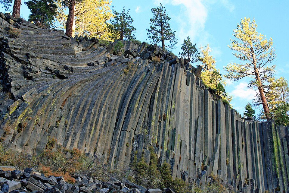 30 mi National MonumentDevils Postpile National Monument100K visitors a year
Photo credits
Yosemite National Park: Thomas Wolf, www.foto-tw.de, CC BY-SA 3.0 · Mono Lake: File:Mono lake sat.jpg: created by NASA Rotation and crop: Hike395, Public domain · Half Dome: Jon Sullivan, Public domain · Hetch Hetchy: Vulpinus2, CC BY-SA 4.0 · Mammoth Mountain: Hike395 (talk · contribs), CC BY 3.0 · Devils Postpile National Monument: Frank Kovalchek from Anchorage, Alaska, USA, CC BY 2.0


Moving to Virginia Lakes: who provides what
Virginia Lakes is unincorporated, so Mono County and regional agencies provide most services.
EPA SDWIS (Oct 9, 2026) · HIFLD + EIA-861 2025 · Census 2020 ZCTAs · NCES 2024–25 · registration: vote.gov, updated Nov 18, 2024.
The data
Ordered by what stands out in Virginia Lakes.
Virginia Lakes has set aside nearly a third of its land for conservation
2.1 miles of trail in 1 park or preserve. Virginia Lakes’ trail density is 1.4 miles per square mile.
| Biggest places to walk | Trails | Acres |
|---|---|---|
| 1. Hoover Wilderness | 0.2 mi | 134 |
Trails & parks © OpenStreetMap contributors · Conserved land: USGS PAD-US
Very high risk in Virginia Lakes, with inland flooding at the top
Expected storm and flood damage is higher than in 97% of U.S. communities.
FEMA National Risk Index · OpenFEMA
Four seasons and pleasant summers in Virginia Lakes
Virginia Lakes has cold winters and cool summers. July afternoons reach 65° and January nights drop to 15°.
Typical low → high °F
NOAA U.S. Climate Normals, 1991–2020
How healthy Virginia Lakes is
Virginia Lakes beats the California average on 2 of 32 CDC measures and trails it on 4. 74% of adults had a checkup this year in Virginia Lakes.
| Virginia Lakes | California towns | U.S. towns | |
|---|---|---|---|
| Yearly checkup (CDC PLACES) | 74% | 72% | 79% |
| Sleep under 7 hours (CDC PLACES) | 33% | 35% | 36% |
| Obesity (CDC PLACES) | 33% | 29% | 35% |
| Feel lonely (CDC PLACES) | 33% | 36% | 33% |
| What stands out | Virginia Lakes | CA |
|---|---|---|
| Fewer adults lacking emotional support | 23.9% | 28.6% |
| More adults screened for colon cancer | 65.5% | 57.5% |
| More adults who have had cancer | 8.8% | 6.4% |
CDC PLACES 2025 · modeled estimates for adults · CMS · HRSA
Everything we know about Virginia Lakes
Colleges nearby
None within 15 miles of Virginia Lakes; the nearest are
About Virginia Lakes
Census-designated place in California, United States
Virginia Lakes is an unincorporated community and census-designated place (CDP) in Mono County, California, United States. It is located on the eastern side of the Sierra Nevada in the area of the Virginia Lakes basin, at the southwest end of Virginia Lakes Road, which leads northeast 6 miles (10 km) to U.S. Route 395 at Conway Summit. The community was first listed as a CDP for the 2020 census, when it had a population of 7.
From Wikipedia, licensed CC BY-SA 4.0 · facts via Wikidata (CC0)
- Elevation
- 9,646 ft
Questions about Virginia Lakes
Short answers, built from the data on this page.
Is Virginia Lakes, CA a good place to live?
We don’t grade Virginia Lakes yet; the figures below are still real. A town.